Install
Hermann, MO 65041 Weather
Current conditions
Forecast for this hour (no station report in the last two hours)
Forecast
10-day-
Today
Sunny, with a high near 77. East wind around 2 mph.
-
Tonight
Clear, with a low around 47. Southeast wind around 2 mph.
-
Friday
Sunny, with a high near 76. Southeast wind around 5 mph.
National Weather Service forecast updated 3 hrs ago.
Hourly
Hourly forecast- Now75°
- 3 PM75°
- 4 PM76°
- 5 PM74°
- 6 PM69°
- 7 PM64°
- 8 PM59°
- 9 PM57°
- 10 PM56°
- 11 PM55°
- Fri12 AM54°
- 1 AM53°
- 2 AM52°
- 3 AM50°
- 4 AM49°
- 5 AM48°
- 6 AM48°
- 7 AM47°
- 8 AM48°
- 9 AM53°
- 10 AM60°
- 11 AM65°
- 12 PM70°
- 1 PM74°
10-day forecast
Details- TodayOct 22Sunny47°77°
- FriOct 23Sunny49°76°
- SatOct 24Mostly Sunny50°77°
- SunOct 25Mostly Sunny51°79°
- MonOct 26Partly Sunny48°77°
- TueOct 27Partly Sunny45°70°
- WedOct 28Mostly Sunny47°70°
- ThuOct 29Mostly sunny0.12 in41°65°
- FriOct 30Sunny36°54°
- SatOct 31Cloudy40°63°
Days after the National Weather Service's seven are MET Norway's outlook, a computer model with no forecaster's review.
Radar
Full mapWeather news in Missouri
More weather news-
 Freeze alerts stretch from Missouri to New York for Sunday
Temps drop for millions across the Central Plains, Midwest, Northeast The first real taste of fall is settling in for millions, including a few first frosts and freezes of the season for some in the Midwest and East…
-
 Saturday Evening Forecast: What Mid-Missouri Can Expect Next
Saturday evening's forecast from KRCG lays out what Mid-Missouri can expect as the weekend winds down. Forecasters break down temperatures, cloud cover,... - Saturday evening's forecast from KRCG lays out what…
-
 More vibrant fall colors are in the forecast this year in northeast Missouri
HANNIBAL (WGEM) - Fall color is just starting to show in northeast Missouri, but the Missouri Department of Conservation (MDC) expects a more vibrant season this year, with peak color still about two weeks away. MDC…
-
 Warm weather slows Missouri early antlerless deer harvest
Missouri hunters harvested 6,524 deer during the firearms Early Antlerless Portion of the deer season held Oct. 9-11, with warm weather contributing to lower totals than a year ago. The harvest figures were released by…
-
 South East prepares for impact of Storm Austen
Seafront closures, cancelled events and travel disruption are expected as the first named storm of the season approaches south-east England. The Met Office has issued a yellow weather warning for wind across the region…
-
 Josephine in Atlantic drifts away, but Pacific moisture might spoil Halloween for Texas
Subtropical Storm Josephine in the North Atlantic is racing away from the United States, while moisture from a strengthening eastern Pacific storm could bring rain to Texas around Halloween next week. Josephine's center…
-
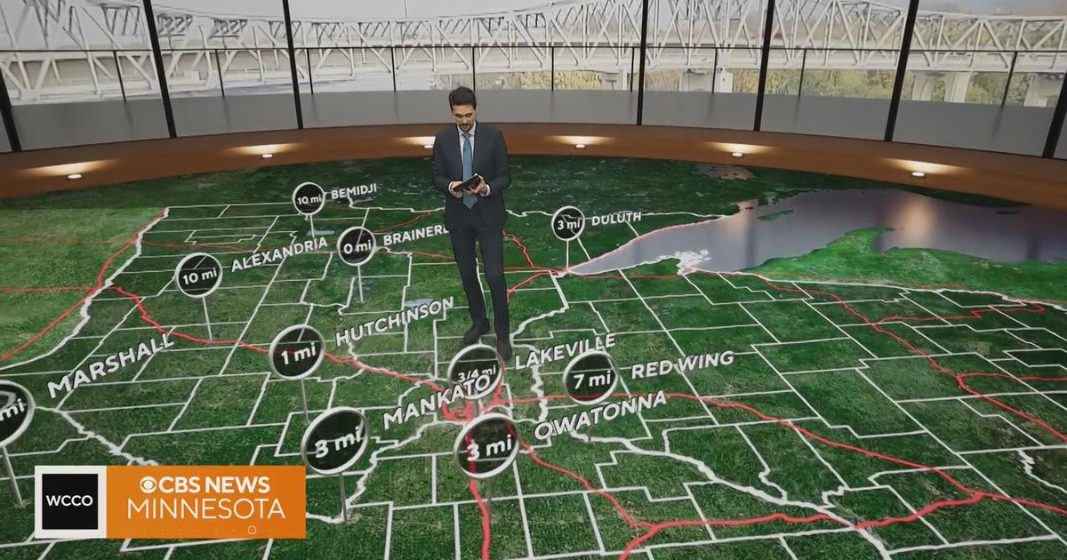 Minnesota gets 3 more days in the 70s, then a cold front cuts the weekend in half | Oct. 22, 2026
Thursday and likely Friday and Saturday all reach the mid 70s, then a cold front moves through Saturday evening and night, dropping highs into the 50s Sunday and the lower 50s Monday through Wednesday, WCCO…
-
 Hail the size of golf balls pummels parts of Arizona as rare storm moves through the West
PHOENIX — Hail the size of golf balls and damaging wind gusts pounded northern and central Arizona in a rare storm blowing through, bringing with it tornado risks and possible flash floods. The National Weather Service…
-
 Bryan Norcross: The last day for Subtropical Storm Josephine before it morphs into a non-tropical system
The system that was the non-tropical nor'easter and yesterday morphed into Subtropical Storm Josephine is forecast to remorph into a non-tropical North Atlantic system late today or tonight. Except for southeastern New…
-
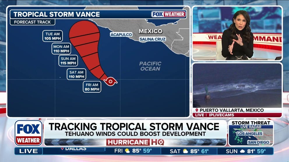 Tropical Storm Vance could intensify into a major hurricane, while Champi threatens Taiwan and Japan
Tropical Storm Vance is expected to strengthen into the 13th hurricane in the Pacific Basin this season as it approaches Mexico next week. Vance could intensify into a major hurricane, which would be the basin's 10th…
Air quality
Air quality is satisfactory, and air pollution poses little or no risk.
Jefferson City, MO reporting area · 1 hr ago. Data from AirNow (EPA and its state, local and tribal partners); preliminary and subject to change.
Sun & moon
Almanac
MonthlyFreedom, records since 1962. Normals 1991–2020. Data from NOAA's Regional Climate Centers (ACIS).
Nearby
- Jefferson City 59 km
- Washington 42 km
- Fulton 48 km
- Union 45 km
- Warrenton 40 km
- Sullivan 51 km
- Saint Clair 53 km
- Holts Summit 54 km
- Wright City 49 km
- Cuba 59 km
- Montgomery City 43 km
- Villa Ridge 55 km
Forecasters' discussion
From the National Weather Service office in LSX, issued 2 hrs ago
Key Messages
- Warm and dry weather will extend through this weekend.
Short Term
Issued at 300 AM CDT Thu Oct 22 2026
A mid-level longwave trough is currently swirling off the coast of Southern California as seen in water vapor imagery. The trough will make landfall today, and a shortwave on its poleward side will begin to phase into the northern stream. What does that mean for us? For now, nothing notable. Ridging in the mid and low levels will still dominate our sensible weather despite being pushed eastward by the western trough, and our copy-and-paste regime will continue. Insolation will again push high temperatures a few degrees warmer today than yesterday with most locations expected to peak in the upper 70s this afternoon. Tomorrow, low-level winds will shift to southeasterly as the ridge slides east, and weak cold air advection will be introduced to the region. The effects of this will be stronger with eastern extent. Mid-Missouri will likely experience a very similar day to today, whereas south-central Illinois is forecast to be a few degrees cooler. Expect morning lows to fall into the 40s and low 50s in the interim.
Long Term
Issued at 300 AM CDT Thu Oct 22 2026
A cold front will drape across the Upper Midwest this weekend in response to the aforementioned northern stream shortwave trough zipping into south-central Canada. It and all of its associated cold air and rain are forecast to stay north of the Mid-Mississippi Valley, so our warm streak will continue through the weekend. High clouds blowing off from showers to our north and west may stunt warming Saturday and Sunday afternoons, but highs are still expected to climb well into the 70s each day.
The mid-level ridge centered over the eastern 2/3rds of the CONUS will deamplify early next week as a longwave trough over the Desert Southwest finally pushes into the Plains and weakens into a shortwave. Its progression is expected to shove the cold front into the Mid-Mississippi Valley sometime around Tuesday, but the variability in guidance is too high to pinpoint an exact time. This stems from differences in the phasing, amplitude, track, and timing of the shortwave. For instance, the ENS shows a stronger shortwave that swings more poleward than the other ensembles. As a result, the front barely clears Chicago, and the majority of our CWA has a 40- 80% chance of reaching 70 degrees by 1pm Tuesday. The GEPS, on the other hand, shows a very weak and much more southerly shortwave. In this solution, the front clears St. Louis and the CWA has a 20-50% chance of reaching 70 degrees by 1pm Tuesday. Then there is the question of whether the front actually passes and we cool down, or if it lifts northward as a warm front and the unseasonable warmth continues further. This is a question that can't be answered right now given the reliability of the data, but it is what we'll be watching for the next several days.
Aviation
Issued at 1211 PM CDT Thu Oct 22 2026
Dry and VFR flight conditions will persist through the TAF period with the exception of river valley fog again Friday morning. KSUS and KCPS are most favored for a short period of impacts from fog around sunrise Friday. Winds will remain light and eventually become more southeasterly to southerly on Friday.
Forecasts, observations and alerts in the United States come from the National Weather Service (NOAA); radar from NOAA's Multi-Radar Multi-Sensor system; satellite imagery from NASA's Global Imagery Browse Services (GIBS) and NOAA's GOES satellites; the map from the U.S. Geological Survey's National Map; air quality from AirNow (EPA and its partners); hurricane information from the National Hurricane Center; climate normals and records from NOAA's Regional Climate Centers (ACIS). Forecasts outside the United States and the UV index: MET Norway (CC BY 4.0); observations outside the U.S.: airport reports via NOAA's Aviation Weather Center. Place names: GeoNames (CC BY 4.0). Data are copied on a schedule and may lag the sources; for warnings that affect your safety, follow your local National Weather Service office and emergency officials. Weather news is drawn from the 4Conservative index and reflects what the press published. Terms of use.