Install
Montgomery City, MO Weather
Current conditions
Observed at Washington Regional Airport · 52 min ago
Forecast
10-day-
Sunday
Mostly sunny, with a high near 78. South wind around 3 mph.
-
Sunday Night
Mostly cloudy, with a low around 50. South wind around 2 mph.
-
Monday
Partly sunny. High near 76, with temperatures falling to around 72 in the afternoon. South wind around 5 mph.
National Weather Service forecast updated 8 hrs ago.
Hourly
Hourly forecast- Now49°
- 8 AM50°
- 9 AM56°
- 10 AM63°
- 11 AM67°
- 12 PM72°
- 1 PM75°
- 2 PM77°
- 3 PM78°
- 4 PM78°
- 5 PM76°
- 6 PM73°
- 7 PM65°
- 8 PM62°
- 9 PM59°
- 10 PM58°
- 11 PM56°
- Mon12 AM56°
- 1 AM55°
- 2 AM53°
- 3 AM53°
- 4 AM52°
- 5 AM52°
- 6 AM51°
10-day forecast
Details- TonightOct 24Partly Cloudy49°
- TodayOct 25Mostly Sunny50°78°
- MonOct 26Partly Sunny50°76°
- TueOct 27Partly Sunny51°74°
- WedOct 28Mostly Sunny54°79°
- ThuOct 29Mostly Sunny55°81°
- FriOct 30Mostly Sunny15%56°80°
- SatOct 31Chance Rain Showers50%74°
- SunNov 1Cloudy0.26 in61°76°
- MonNov 2Heavy showers0.50 in63°80°
Days after the National Weather Service's seven are MET Norway's outlook, a computer model with no forecaster's review.
Radar
Full mapWeather news in Missouri
More weather news-
 Thursday Evening Forecast: Mid-Missouri Weather Update
KRCG has released its Thursday evening forecast for the mid-Missouri viewing area covering October 22, 2026. The update details expected temperatures, cloud cover and precipitation chances for the coming hours and…
-
 Missouri farmers wait as rains stall fieldwork
A farmer in west-central Missouri says the recent rains are delaying early planting, and while the moisture is needed, it’s heavier than expected. “So far, we’ve had a little more than four inches since the start of the…
-
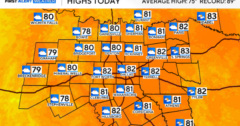 North Texas gets a warm, mild Sunday ahead of clouds and wind this week
October 25, 2026 / 6:51 AM CDT / CBS Texas Expect a warm and dry stretch of weather in North Texas over the next few days, with highs staying in the 80s, but we will see a pattern change as rain chances move in around…
-
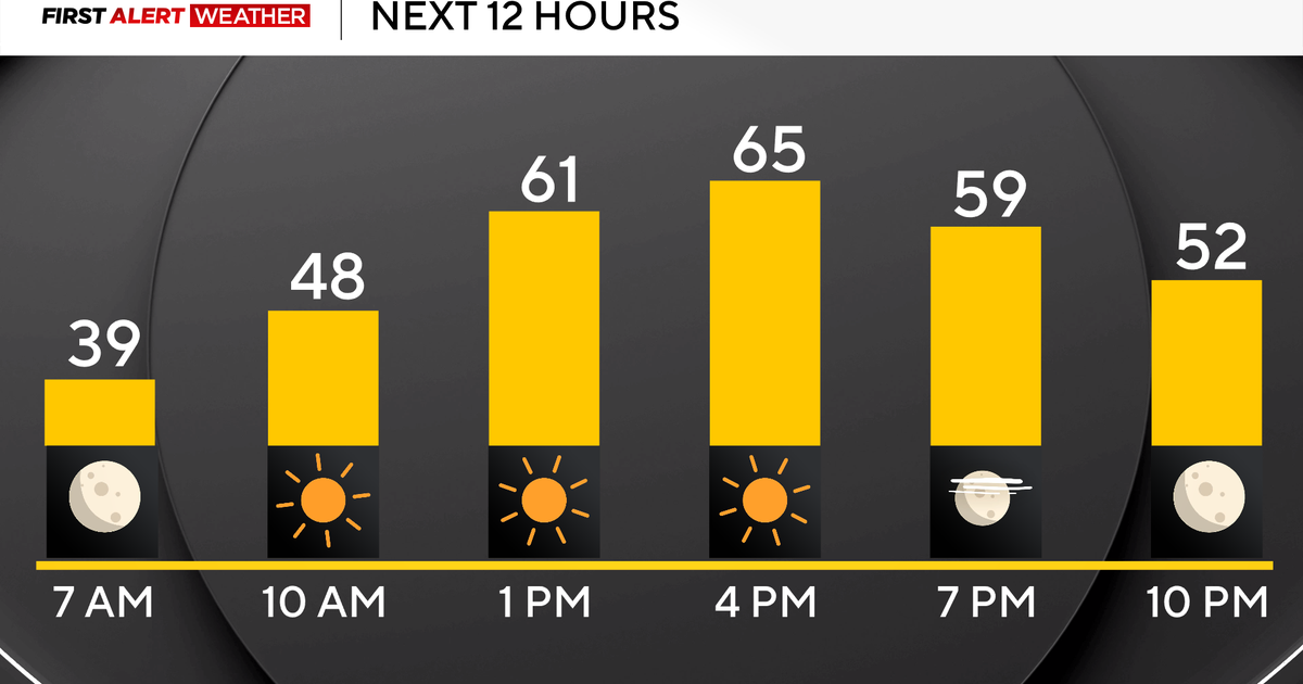 Pittsburgh's stretch of sunshine and dry weather continues on Sunday
October 25, 2026 / 7:07 AM EDT / CBS Pittsburgh High pressure sticks around all weekend long and into the work week with sunny skies, dry conditions, and highs above normal in the mid to upper 60s and even low 70s!…
-
 More wet and windy weather to follow stormy weekend
Choppy seas and large waves crashing up onshore in Aberystwyth, Ceredigion Storm Boelo will continue to batter parts of the UK on Sunday but the fierce autumn weather shows no sign of clearing quickly. After two named…
-
 Storm Boelo: warnings in place in Scotland, Northern Ireland and north of England as high winds batter UK
Met Office reports gusts of 80mph in exposed coastal spots and advises people in affected areas to stay indoors Strong winds have battered Scotland, Northern Ireland and northern England overnight, as Storm Boelo hit…
-
 Rain on Halloween? L.A. could have its first wet Halloween in a decade
The reprieve from rain is expected to last just a few more days as forecasters warn of another storm system that could bring Los Angeles its first rainy Halloween since 2014. It’s still too far out to know the exact…
-
 ‘Unusually large’ multi-state storm causing severe weather for Australia’s east – with more on the way
BoM predicts hail, damaging winds, flash flooding and power outages across southern Queensland, western NSW, the ACT and eastern Victoria on Sunday afternoon Large parts of eastern Australia were put on alert for severe…
-
 First Alert Weather: Freezing temps overnight for some parts of New York - 10/24/26
CBS News - The 5:33 | Legacy of the LIRR Massacre - On The Dot with David Schechter: Wildfires & Climate Change First Alert Weather: Freezing temps overnight for some parts of New York - 10/24/26 Trump, Obama make…
-
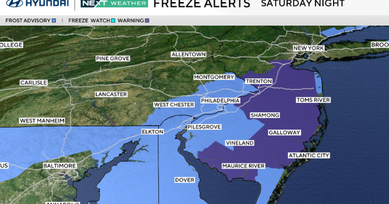 Frosty start to Sunday in Philadelphia region; fabulous fall weather for Eagles-Cowboys Monday
October 24, 2026 / 11:38 PM EDT / CBS Philadelphia Sunday will be a beautiful fall day in the Philadelphia region with plenty of sunshine, light winds and temperatures beginning to moderate after another frosty start…
Air quality
Air quality is satisfactory, and air pollution poses little or no risk.
Jefferson City, MO reporting area · 1 hr ago. Data from AirNow (EPA and its state, local and tribal partners); preliminary and subject to change.
Sun & moon
Nearby
- Wentzville 59 km
- Fulton 41 km
- Mexico 39 km
- Troy 45 km
- Warrenton 36 km
- Bowling Green 49 km
- Vandalia 37 km
- Wright City 45 km
- Moscow Mills 51 km
- Hermann 31 km
- New Haven 48 km
Forecasters' discussion
From the National Weather Service office in LSX, issued 5 hrs ago
Key Messages
- Warm days and crisp fall nights continue through the end of the coming workweek.
- Rain chances return for Halloween weekend.
Short Term
Issued at 200 AM CDT Sun Oct 25 2026
A persistent blocking pattern remains in place across North America and has led to our stagnant weather pattern for the last week or so. A trough over the East Coast and western Atlantic extends all the way south to Cuba. Another trough over the West Coast extends down to Baja California. In between, a high amplitude ridge extends from Texas to Hudson Bay. Highly amplified patterns like this tend to stick around for a while before finally breaking down. Our area is solidly under the influence of the ridge with broad surface high pressure stretching from Quebec to the Deep South. This surface high has kept Gulf moisture blocked well to the south, only making a northward push through west Texas and the High Plains.
The result for us locally will continue to be warm days and cool crisp nights. With daytime heating we mix into the warmth within the ridge with temperatures reaching the 70s to near 80. But the dry air, calm winds, and longer fall nights allow for nocturnal cooling into the upper 40s to near 50. The only recent addition to this pattern has been some increased high level cloud cover as the ridge axis has shifted a bit further east and high level moisture streams over the top of it. These clouds will have some minor effect by decreasing the extreme diurnal temperature ranges. Areas that get a little less sun will have a tougher time reaching 80 degrees despite the warm ridge. But that same blanket of clouds will dampen the nighttime cooling as well, with fewer locations dropping into the 40s.
Long Term
Issued at 200 AM CDT Sun Oct 25 2026
By in large the stagnant pattern continues for us locally through the upcoming week, though there will be some movement to cut back on the extreme blocking. Just as there's some easing in the eastern trough, portions of the western trough eject northeast around the ridge, cutting back on its intensity and amplitude. The most significant is on Monday when the core of the western US trough exits through Colorado into Minnesota by Tuesday. Guidance is in good agreement that this passes far enough to our north to avoid any significant impacts locally aside from increased mid and high level cloud cover. There is a cold front behind this trough, but it gets hung up over Iowa Wednesday into Thursday keeping us warm and dry south of it.
There is some restructuring of the pattern from a high amplitude ridge to a broader, flat topped ridge over much of the central and eastern US with the jet near the Canadian border. Out west, although one trough ejects, it's soon replaced by a new one dropping south out of Alaska into the Northwest US. While this general idea is agreed upon, guidance varies wildly in how this next trough progresses late this week and into the following week. Locally, though, we transition to more of a southwesterly upper level flow with better moisture transport through our region. While the precise details vary, this does translate to increased rain chances eventually, just in time for the Halloween weekend. These chances peak Saturday into Sunday when at least one shortwave trough is expected to pass near the region. Among the 00Z ensemble guidance, 80 to 90 percent of members produce measurable rain across our entire forecast area in the 24 hours ending at noon on Sunday. This indicates strong confidence that at least some rain will fall locally this weekend. Latest NBM PoP peaks at only 60 percent due primarily to timing uncertainty (will it fall Saturday, Saturday night, or Sunday?).
Looking beyond this weekend, there's a general consensus that the ridge fully breaks down and some flavor of troughing arrives early next week. But whether this represents a return to more "normal" temperatures or something even cooler is not well agreed upon.
Aviation
Issued at 554 PM CDT Sat Oct 24 2026
Dry and mainly VFR conditions are expected to continue through the period. The potential for river fog recurring at SUS or CPS remains too low to include in this issuance of the TAFs. Otherwise winds will remain below 10 knots.
Forecasts, observations and alerts in the United States come from the National Weather Service (NOAA); radar from NOAA's Multi-Radar Multi-Sensor system; satellite imagery from NASA's Global Imagery Browse Services (GIBS) and NOAA's GOES satellites; the map from the U.S. Geological Survey's National Map; air quality from AirNow (EPA and its partners); hurricane information from the National Hurricane Center; climate normals and records from NOAA's Regional Climate Centers (ACIS). Forecasts outside the United States and the UV index: MET Norway (CC BY 4.0); observations outside the U.S.: airport reports via NOAA's Aviation Weather Center. Place names: GeoNames (CC BY 4.0). Data are copied on a schedule and may lag the sources; for warnings that affect your safety, follow your local National Weather Service office and emergency officials. Weather news is drawn from the 4Conservative index and reflects what the press published. Terms of use.