Install
San Miguel, San José, Costa Rica Weather
Current conditions
Observed at San Jose/Bolanos Intl · 20 min ago
Forecast
10-day-
Sunday
Heavy rain. High 26°. Precipitation 13.9 mm for the day.
-
Sunday Night
Rain. Low 17°. Precipitation 13.9 mm for the day.
-
Monday
Heavy rain. High 26°. Precipitation 8.4 mm for the day.
MET Norway forecast updated 3 hrs ago.
Hourly
Hourly forecast- Now23°
- 09:0024°
- 10:0025°0.4
- 11:0026°2.9
- 12:0023°1.9
- 13:0024°2.3
- 14:0022°3.7
- 15:0020°0.7
- 16:0020°0.7
- 17:0020°0.7
- 18:0020°0.4
- 19:0019°
- 20:0019°
- 21:0018°
- 22:0018°
- 23:0018°
- Mon00:0018°
- 01:0017°
- 02:0017°
- 03:0017°
- 04:0017°
- 05:0017°
- 06:0018°
- 07:0019°
10-day forecast
Details- TodayOct 25Heavy rain13.9 mm17°26°
- MonOct 26Heavy rain8.4 mm17°26°
- TueOct 27Heavy showers15.6 mm16°26°
- WedOct 28Rain2.6 mm17°26°
- ThuOct 29Light showers0.8 mm15°26°
- FriOct 30Showers4.2 mm16°26°
- SatOct 31Light showers0.9 mm15°27°
- SunNov 1Heavy rain9.7 mm15°24°
- MonNov 2Heavy rain12.3 mm15°25°
- TueNov 3Heavy rain17.3 mm15°24°
Radar
Full mapWeather news near San Miguel
More weather news- San Jose Soaks Up One Last Sunny Weekend Before Fog and Rain Roll Back In
The dry weekend pattern will continue into Sunday, when San Jose should reach near 75 degrees under mostly sunny skies. The latest outlook modestly updates Friday’s Hoodline forecast by extending the pleasant stretch…
- San Jose Shakes Off Morning Fog for Sun-Soaked Weekend, Chilly Nights
Low clouds may clear between 10 a.m. and 1 p.m., with South Bay clouds potentially clearing later. North-northwest winds will run 1 to 10 mph and could gust near 20 mph during the afternoon, adding a little bite to an…
- Albuquerque Weather Forecast: Flash Flood Watch, Storms Saturday
Albuquerque is waking up to mostly cloudy skies and temperatures around 59 degrees Saturday, but the bigger story is what is moving in next: a day of showers, thunderstorms and possible flooding. The high should reach…
-
 Sunny weekend ahead for Bay Area following explosive end of rain
The last of the rain from a light mid-week storm came like the finale of a fireworks show, with many explosive downpours in isolated places coming all at once and then finishing almost as suddenly as they began. “We did…
- Soaked San Jose Thursday Gives Way to Sunny, 70s Weekend
San Jose woke Thursday under cloudy skies, with temperatures around 57 degrees and a damp start to a day that will get considerably wetter. Rain, fog and a few showers or thunderstorms are expected before conditions…
-
 Sunny weekend ahead following explosive end of rain
The last of the rain from a light mid-week storm came like the finale of a fireworks show, with many explosive downpours in isolated places coming all at once and then finishing almost as suddenly as they began. “We did…
-
 Rain breaks Friday, then more rain arrives this weekend
Rain will diminish early Friday morning, and we’ll get a break to end the week. More rain is on the way for this weekend. GRAND JUNCTION, Colo. (KJCT) - Rain will diminish early Friday morning, and we’ll get a break to…
- Jacksonville Weather Forecast | Sunny Thursday, Windy Weekend
Thursday is forecast to be sunny, with a high near 76°F. The calm, pleasant setup will not last long: northeast winds strengthen Friday, followed by rain showers and rough coastal conditions this weekend. The National…
- Weather alert for San Miguel and Santa Rosa Islands Wednesday night, says the NWS
A report from the NWS Los Angeles/Oxnard CA was issued on Wednesday at 8 p.m. for strong thunderstorms until 9 p.m. for San Miguel and Santa Rosa Islands. Residents should prepare for wind gusts of up to 55 mph. "At…
-
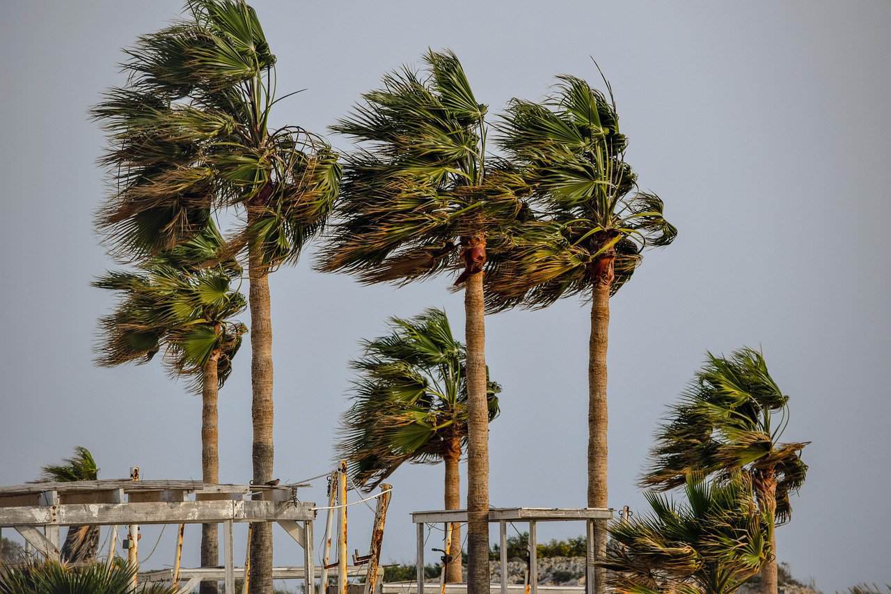 Costa Rica’s First Cold Push of the Season Brings Stronger Winds and Rain
In the Central Valley, including San José, Alajuela, Heredia and Cartago, the morning forecast calls for partly cloudy skies and occasional wind gusts. Isolated afternoon showers are possible, especially toward the…
Sun & moon
Nearby
- San José 7 km
- Alajuela 23 km
- Paraíso 22 km
- Curridabat 5 km
- San Vicente de Moravia 10 km
- San Vicente 10 km
- Purral 10 km
- Turrialba 41 km
- San Pedro 6 km
- San Rafael Abajo 26 km
- Cartago 16 km
- San Juan 10 km
Forecasts, observations and alerts in the United States come from the National Weather Service (NOAA); radar from NOAA's Multi-Radar Multi-Sensor system; satellite imagery from NASA's Global Imagery Browse Services (GIBS) and NOAA's GOES satellites; the map from the U.S. Geological Survey's National Map; air quality from AirNow (EPA and its partners); hurricane information from the National Hurricane Center; climate normals and records from NOAA's Regional Climate Centers (ACIS). Forecasts outside the United States and the UV index: MET Norway (CC BY 4.0); observations outside the U.S.: airport reports via NOAA's Aviation Weather Center. Place names: GeoNames (CC BY 4.0). Data are copied on a schedule and may lag the sources; for warnings that affect your safety, follow your local National Weather Service office and emergency officials. Weather news is drawn from the 4Conservative index and reflects what the press published. Terms of use. How to use Weather