Install
San Juan, San José, Costa Rica Weather
Current conditions
Observed at San Jose/Bolanos Intl · 1 hr ago
Forecast
10-day-
Saturday
Heavy rain. High 25°. Precipitation 7.9 mm for the day.
-
Saturday Night
Heavy rain. Low 19°. Precipitation 7.9 mm for the day.
-
Sunday
Rain. High 26°. Precipitation 6.4 mm for the day.
MET Norway forecast updated 1 day ago.
Hourly
Hourly forecast- Now25°0.2
- 11:0025°1.0
- 12:0024°1.2
- 13:0022°0.5
- 14:0023°0.6
- 15:0023°0.8
- 16:0021°0.5
- 17:0021°0.3
- 18:0020°0.2
- 19:0020°0.2
- 20:0020°
- 21:0019°
- 22:0019°
- 23:0019°
- Sun00:0019°
- 01:0019°
- 02:0019°
- 03:0018°
- 04:0018°
- 05:0018°
- 06:0019°
- 07:0020°
- 08:0021°
- 09:0023°
Daily forecast
DetailsRadar
Full mapWeather news near San Juan
More weather news- San Jose Braces for Soggy Commute Before Sunny Weekend Soar
The city could reach about 72 degrees around midday before slipping toward the upper 60s later in the afternoon. Hourly forecasts put the rain chance near 40% in the early afternoon and above 50% by late afternoon, so a…
-
 Mapped: Where in OC did the most rain fall in latest storm?
The foothills of the Santa Ana Mountains got the most rain as the latest storm swept across the county Wednesday into Thursday, Oct. 22. Orange County saw a median 0.3 inches of rain in the 24 hours ending at 8 a.m…
-
 Tracking showers & storms, weekend cooldown
TODAY: We stay warm with mid-to-high 70s along I-25 and even some 80s across the Plains. Tropical moisture continues to funnel into Colorado TODAY: We stay warm with mid-to-high 70s along I-25 and even some 80s across…
-
 Anticipate strong thunderstorms in Riverside County Wednesday evening – gusts up to 55 mph
Riverside County was placed under a report for strong thunderstorms by the National Weather Service on Wednesday at 5:49 p.m. The alert is in effect until 6:30 p.m. Residents should be prepared for wind gusts of up to…
-
 Weather alert announced for strong thunderstorms in the Orange County and Santa Ana Mountains area Wednesday evening
The Orange County and Santa Ana Mountains area is the focus of a weather alert for strong thunderstorms issued at 5:49 p.m. on Wednesday by the National Weather Service. The alert is in effect until 6:30 p.m. Residents…
-
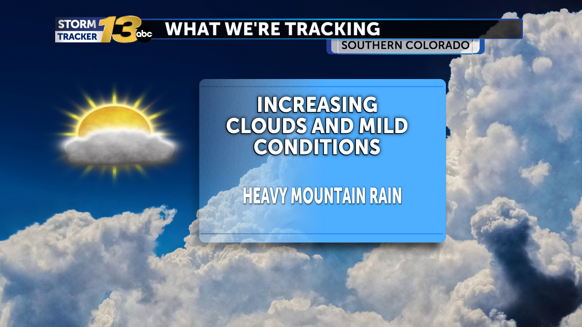 Heavy rain in the mountains while the I-25 corridor and Plains remain mostly dry and mild
Deep subtropical moisture is getting pulled into the Four Corners this afternoon, increasing a widespread heavy rain threat across much of the mountains. Deep subtropical moisture is getting pulled into the Four Corners…
-
 Warm temps to mean inches of rain instead of 26″ of snow in Colorado
Denver Gazette Significant rainfall is expected in Colorado over upcoming hours, likely to result in debris flows and flash flooding in the southwest region of the state. Per a report from the National Weather Service…
-
 When will the 2026 rainy season begin to recede?
Q COSTA RICA — Costa Rica’s 2026 rainy season is expected to begin withdrawing during the first days of November, though the transition will vary considerably by region. According to the national weather service, the…
-
 Fierce Storm Hammers Lighthouse
WeatherBug WeatherBug Fierce Storm Hammers Lighthouse Space Jellyfish Spotted at Rocket Launch Bear Caught on Doorbell Cam Coastal Towns Prepare for Noreaster Dog Gets Zoomies Among Red Fall Leaves Hawk Saved From Tree…
-
 Los Cabos Will Keep Eye On Tropical Storm Vance As Hurricane Season Begins To Wind Down
If you are planning a trip to Los Cabos as the winter approaches, you might have thought you were completely in the clear when it comes to tropical weather. Traditionally, late October marks the point where the Pacific…
Sun & moon
Nearby
- San José 3 km
- Alajuela 16 km
- Paraíso 27 km
- Curridabat 7 km
- San Vicente 3 km
- San Vicente de Moravia 3 km
- Purral 5 km
- Turrialba 44 km
- San Miguel 10 km
- San Pedro 5 km
- San Rafael Abajo 27 km
- Quesada 56 km
Forecasts, observations and alerts in the United States come from the National Weather Service (NOAA); radar from NOAA's Multi-Radar Multi-Sensor system; satellite imagery from NASA's Global Imagery Browse Services (GIBS) and NOAA's GOES satellites; the map from the U.S. Geological Survey's National Map; air quality from AirNow (EPA and its partners); hurricane information from the National Hurricane Center; climate normals and records from NOAA's Regional Climate Centers (ACIS). Forecasts outside the United States and the UV index: MET Norway (CC BY 4.0); observations outside the U.S.: airport reports via NOAA's Aviation Weather Center. Place names: GeoNames (CC BY 4.0). Data are copied on a schedule and may lag the sources; for warnings that affect your safety, follow your local National Weather Service office and emergency officials. Weather news is drawn from the 4Conservative index and reflects what the press published. Terms of use.