Install
Curridabat, San José, Costa Rica Weather
Current conditions
Observed at San Jose/Bolanos Intl · 1 hr ago
Forecast
10-day-
Tuesday
Heavy rain. High 26°. Precipitation 32.0 mm for the day.
-
Tuesday Night
Heavy rain. Low 20°. Precipitation 32.0 mm for the day.
-
Wednesday
Heavy rain. High 27°. Precipitation 18.6 mm for the day.
MET Norway forecast updated 4 hrs ago.
Hourly
Hourly forecast- Now26°5.2
- 12:0023°4.0
- 13:0022°0.8
- 14:0023°4.7
- 15:0021°1.8
- 16:0021°0.6
- 17:0021°0.9
- 18:0020°3.3
- 19:0020°4.4
- 20:0020°4.4
- 21:0020°1.3
- 22:0020°0.2
- 23:0020°
- Wed00:0019°
- 01:0019°
- 02:0019°
- 03:0019°
- 04:0019°
- 05:0019°
- 06:0019°
- 07:0021°
- 08:0022°
- 09:0024°
- 10:0025°
10-day forecast
Details- TodayOct 20Heavy rain32.0 mm20°26°
- WedOct 21Heavy rain18.6 mm18°27°
- ThuOct 22Heavy rain9.3 mm17°25°
- FriOct 23Heavy rain32.2 mm17°25°
- SatOct 24Heavy rain14.0 mm18°26°
- SunOct 25Heavy rain9.4 mm17°25°
- MonOct 26Rain4.8 mm17°26°
- TueOct 27Showers2.9 mm16°28°
- WedOct 28Showers4.5 mm16°27°
- ThuOct 29Light showers1.2 mm17°26°
Radar
Full mapWeather news near Curridabat
More weather news- Soggy in San Jose: Midweek Rain Puts Chill on South Bay
San Jose was waking up under cloudy skies Monday, with temperatures in the upper 50s before a partly sunny afternoon near 70 degrees. The mild start is the front end of a sharper weather shift, with a gentle to moderate…
- Sunny San Jose Near 80 Today Before Fog, Midweek Showers Roll In
Monday will be partly sunny with a high near 70. The midweek pattern looks more like intermittent light rain than an all-day washout, but morning visibility could be reduced by fog. Skies are expected to be mostly sunny…
-
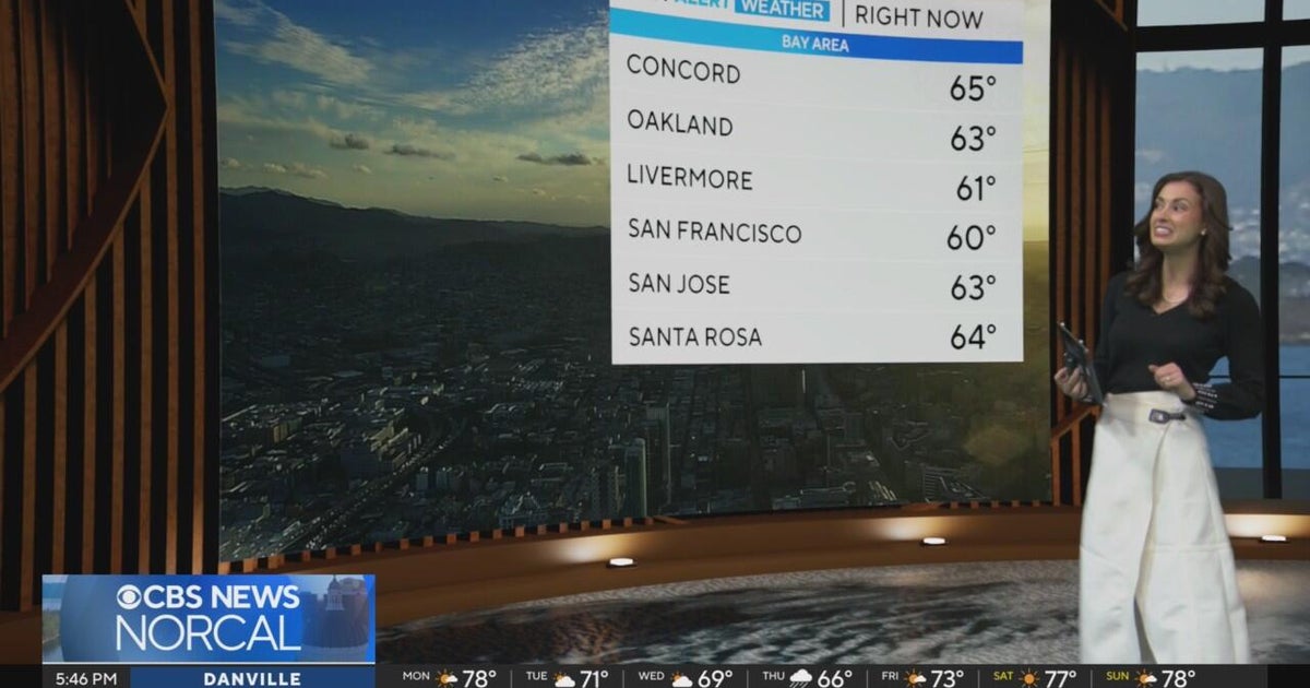 First Alert Weather Monday evening forecast 10-19-26
CBS News Bay Area is a local news organization that is part of CBS News and Stations. Also referred to as KPIX-TV and channel 5, CBS News Bay Area offers local breaking news, weather coverage and investigative…
-
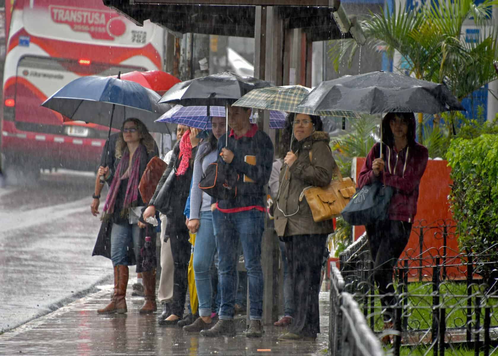 Costa Rica Storms Return After 2,000 Lightning Strikes in One Day
Afternoon storms are back across Costa Rica after 2,000 lightning strikes Friday. What to expect where you are and how to stay safe. COSTA RICA'S LEADING ENGLISH LANGUAGE NEWSPAPER Costa Rica Storms Return After 2,000…
- San Francisco’s Last Sunny Day Before Sneaker Waves, Midweek Rain Roll In
San Francisco gets one more sunny day Sunday before a cooler, unsettled stretch moves in. Temperatures are forecast in the mid- to upper 60s in San Francisco, while west-southwest winds strengthen through the afternoon…
- San Jose Weather Forecast 91 Degrees Friday Rain Next Week
The National Weather Service in San Francisco expects Friday's temperatures to reach their highest levels during the midafternoon, with readings around 90 degrees. Winds should stay light for much of the day before a…
- San Jose Sizzles at 91 Before Sudden Fall Flip
San Jose is starting Saturday clear and around 61 degrees, but the South Bay is headed for one more hot afternoon before fall finally takes over. Temperatures are expected to climb near 91 under sunny skies, followed by…
- San Jose Warms Up Before Cooler, Wetter Week Rolls In
The week-ahead outlook brings cooler temperatures Sunday and increasing rain chances Tuesday through late week. Thursday will stay sunny and dry, with light west winds and an afternoon high near 86. Friday and Saturday…
- San Jose Sizzles To 89 Degrees Friday As Bay Area Fire Fears Rise
The National Weather Service forecast calls for sunny, dry conditions Wednesday, with light southeast winds in the morning and a breeze reaching about 8 mph later in the day. Wednesday night should stay clear, with…
-
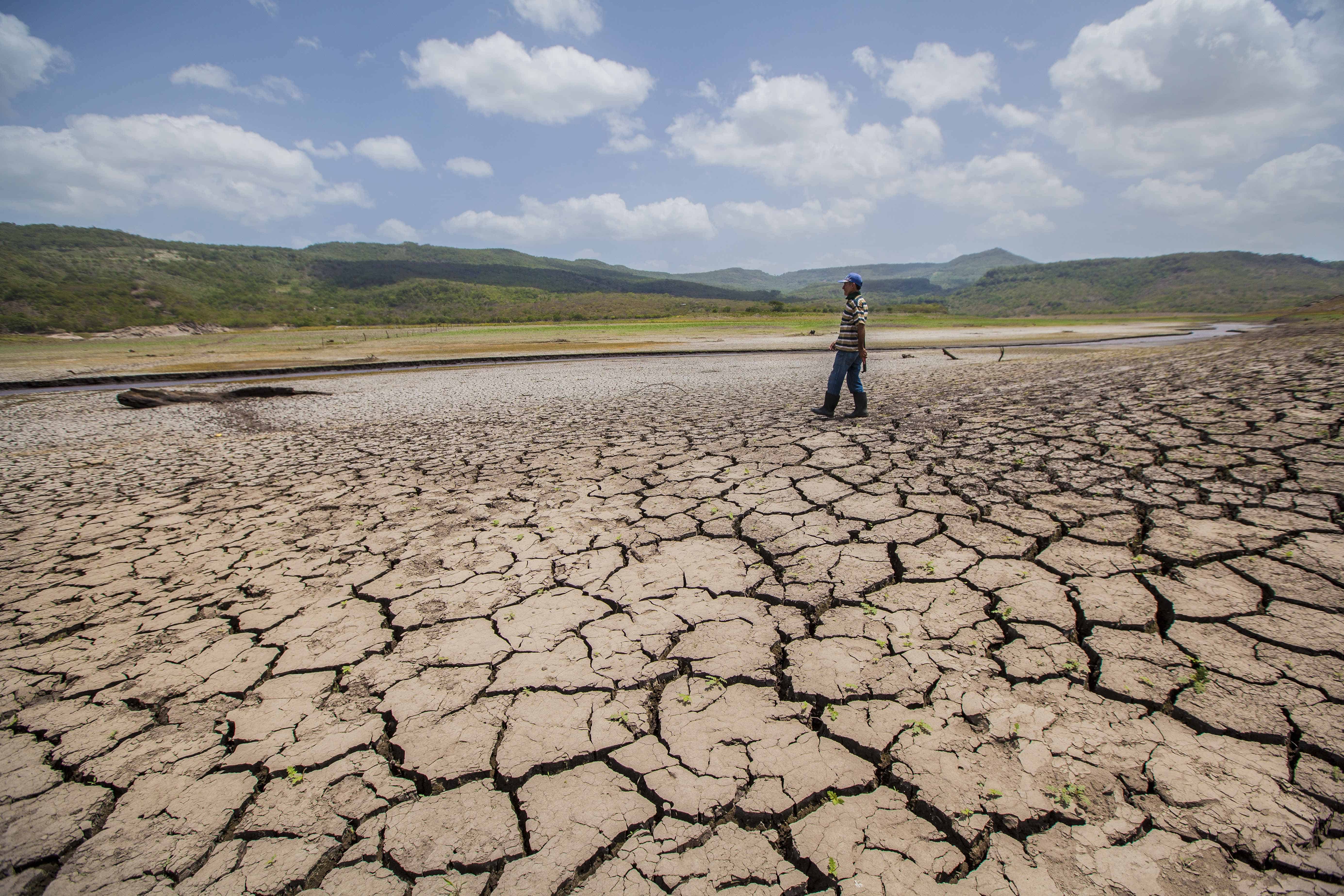 El Niño Peak Expected in December With Record-Warm Pacific Waters, WMO Warns
El Niño has not peaked yet. The World Meteorological Organization (WMO) expects the event to keep strengthening until around December, with sea surface temperatures in the central and eastern tropical Pacific forecast…
Sun & moon
Nearby
- San José 6 km
- Alajuela 23 km
- Paraíso 20 km
- San Vicente de Moravia 5 km
- San Vicente 6 km
- Purral 5 km
- Turrialba 39 km
- San Miguel 5 km
- San Pedro 2 km
- San Rafael Abajo 29 km
- Cartago 14 km
- San Juan 7 km
Forecasts, observations and alerts in the United States come from the National Weather Service (NOAA); radar from NOAA's Multi-Radar Multi-Sensor system; satellite imagery from NASA's Global Imagery Browse Services (GIBS) and NOAA's GOES satellites; the map from the U.S. Geological Survey's National Map; air quality from AirNow (EPA and its partners); hurricane information from the National Hurricane Center; climate normals and records from NOAA's Regional Climate Centers (ACIS). Forecasts outside the United States and the UV index: MET Norway (CC BY 4.0); observations outside the U.S.: airport reports via NOAA's Aviation Weather Center. Place names: GeoNames (CC BY 4.0). Data are copied on a schedule and may lag the sources; for warnings that affect your safety, follow your local National Weather Service office and emergency officials. Weather news is drawn from the 4Conservative index and reflects what the press published. Terms of use.