Install
San Ignacio, San José, Costa Rica Weather
Current conditions
Forecast for this hour (no station report in the last two hours)
Forecast
10-day-
Friday
Heavy rain. High 23°. Precipitation 23.3 mm for the day.
-
Friday Night
Light rain. Low 19°. Precipitation 23.3 mm for the day.
-
Saturday
Heavy rain. High 25°. Precipitation 30.6 mm for the day.
MET Norway forecast updated 1 day ago.
Hourly
Hourly forecast- Now21°0.5
- 17:0021°0.2
- 18:0020°0.2
- 19:0020°
- 20:0019°
- 21:0019°
- 22:0019°
- 23:0019°
- Sat00:0018°
- 01:0018°0.2
- 02:0018°
- 03:0018°
- 04:0018°
- 05:0018°
- 06:0018°
- 07:0021°
- 08:0023°
- 09:0025°0.7
- 10:0024°3.4
- 11:0022°0.6
- 12:0024°6.0
- 13:0021°2.4
- 14:0022°1.4
- 15:0022°4.6
Daily forecast
DetailsRadar
Full mapWeather news near San Ignacio
More weather news- San Jose Braces for Soggy Commute Before Sunny Weekend Soar
The city could reach about 72 degrees around midday before slipping toward the upper 60s later in the afternoon. Hourly forecasts put the rain chance near 40% in the early afternoon and above 50% by late afternoon, so a…
-
 When will the 2026 rainy season begin to recede?
Q COSTA RICA — Costa Rica’s 2026 rainy season is expected to begin withdrawing during the first days of November, though the transition will vary considerably by region. According to the national weather service, the…
-
 Los Cabos Will Keep Eye On Tropical Storm Vance As Hurricane Season Begins To Wind Down
If you are planning a trip to Los Cabos as the winter approaches, you might have thought you were completely in the clear when it comes to tropical weather. Traditionally, late October marks the point where the Pacific…
-
 Rain expected to linger in Bay Area before weekend warm-up
An occasional rumble of thunder may still echo through the Bay Area on Thursday, and the crack of lightning may still light up the clouds once in a while, reminders that the region’s first decent-sized storm of the…
- Enjoy It, San Jose: One Last Sunny Afternoon Before Midweek Showers Roll In
San Jose is getting one more pleasant afternoon before a midweek weather change moves in. High clouds will remain over the area throughout Tuesday, with patchy morning fog, partial sunshine and a high near 71. Fog…
-
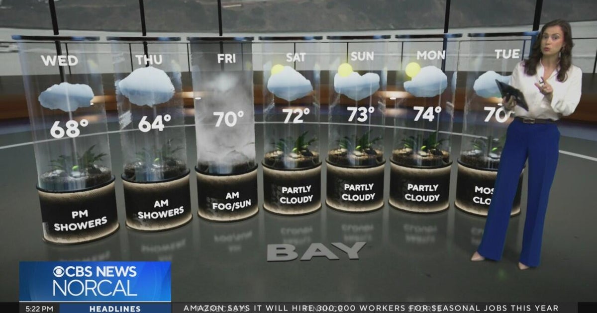 Tuesday evening First Alert weather forecast - 10/20/26
CBS News Tuesday evening First Alert weather forecast - 10/20/26 Becerra, Hilton campaign for California governor in Bay Area 2 weeks out from Election Day Oakland considers raising nuisance property fines to $10,000 a…
-
 California's rainy season to arrive with flood threat, tornado risk and Sierra snow
California's wet season is starting off with a bang. The first significant storm of the season is forecast to bring heavy rain to vulnerable burn scars near Big Sur, coastal tornado risk to the Los Angeles area, and a…
-
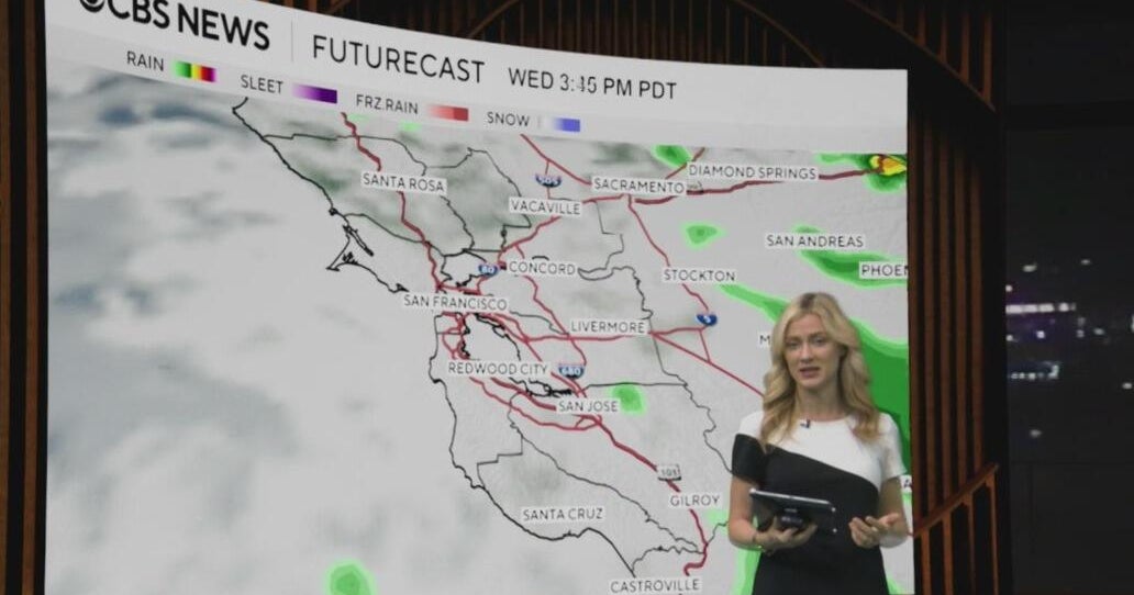 Tuesday morning First Alert weather forecast with Jessica Burch - 10/20/26
CBS News Bay Area is a local news organization that is part of CBS News and Stations. Also referred to as KPIX-TV and channel 5, CBS News Bay Area offers local breaking news, weather coverage and investigative…
-
 Bay Area could see its most rain since May. Here's how much to expect
The Bay Area will soon see its first legitimate rain chance of the season, but the window for wet weather is trending later and weaker than previously indicated. Rain is not expected to begin until Wednesday morning at…
- Soggy in San Jose: Midweek Rain Puts Chill on South Bay
San Jose was waking up under cloudy skies Monday, with temperatures in the upper 50s before a partly sunny afternoon near 70 degrees. The mild start is the front end of a sharper weather shift, with a gentle to moderate…
Sun & moon
Nearby
- San José 17 km
- Alajuela 25 km
- Paraíso 33 km
- Curridabat 19 km
- San Vicente 22 km
- San Vicente de Moravia 22 km
- Purral 23 km
- Turrialba 54 km
- San Miguel 14 km
- San Pedro 19 km
- San Rafael Abajo 15 km
- Cartago 28 km
Forecasts, observations and alerts in the United States come from the National Weather Service (NOAA); radar from NOAA's Multi-Radar Multi-Sensor system; satellite imagery from NASA's Global Imagery Browse Services (GIBS) and NOAA's GOES satellites; the map from the U.S. Geological Survey's National Map; air quality from AirNow (EPA and its partners); hurricane information from the National Hurricane Center; climate normals and records from NOAA's Regional Climate Centers (ACIS). Forecasts outside the United States and the UV index: MET Norway (CC BY 4.0); observations outside the U.S.: airport reports via NOAA's Aviation Weather Center. Place names: GeoNames (CC BY 4.0). Data are copied on a schedule and may lag the sources; for warnings that affect your safety, follow your local National Weather Service office and emergency officials. Weather news is drawn from the 4Conservative index and reflects what the press published. Terms of use.