Install
Lewiston Orchards, ID Weather
Current conditions
Observed at Lewiston, Lewiston-Nez Perce County Airport · 46 min ago
Forecast
10-day-
Today
Mostly sunny. High near 69, with temperatures falling to around 67 in the afternoon. North wind around 2 mph.
-
Tonight
Partly cloudy. Low around 43, with temperatures rising to around 45 overnight. Southeast wind around 3 mph.
-
Wednesday
Mostly sunny. High near 71, with temperatures falling to around 69 in the afternoon. Northeast wind around 3 mph.
National Weather Service forecast updated 4 hrs ago.
Hourly
Hourly forecast- Now44°
- 9 AM47°
- 10 AM52°
- 11 AM55°
- 12 PM59°
- 1 PM63°
- 2 PM66°
- 3 PM67°
- 4 PM68°
- 5 PM67°
- 6 PM64°
- 7 PM63°
- 8 PM57°
- 9 PM55°
- 10 PM54°
- 11 PM52°
- Wed12 AM50°
- 1 AM49°
- 2 AM49°
- 3 AM47°
- 4 AM45°
- 5 AM45°
- 6 AM44°
- 7 AM43°
Daily forecast
Details- TodayOct 20Mostly Sunny43°69°
- WedOct 21Mostly Sunny21%45°71°
- ThuOct 22Rain Showers81%44°64°
- FriOct 23Mostly Sunny33°57°
- SatOct 24Mostly Sunny then Slight Chance Rain Showers25%37°57°
- SunOct 25Chance Rain Showers25%38°60°
- MonOct 26Slight Chance Rain Showers22%37°59°
- TueOct 27Cloudy41°62°
- WedOct 28Cloudy40°60°
Days after the National Weather Service's seven are MET Norway's outlook, a computer model with no forecaster's review.
Radar
Full mapWeather news in Idaho
More weather news-
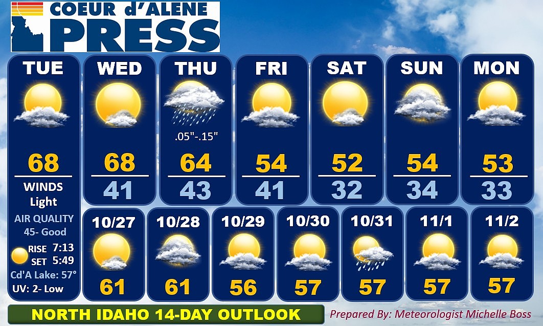 North Idaho 14-day weather forecast
Coeur d'Alene Press North Idaho 14-day weather forecast
-
 Sophia Cruz's Idaho News 6 Forecast - 10/16/2026
KIVI-TV Sophia Cruz's Idaho News 6 Forecast - 10/16/2026
-
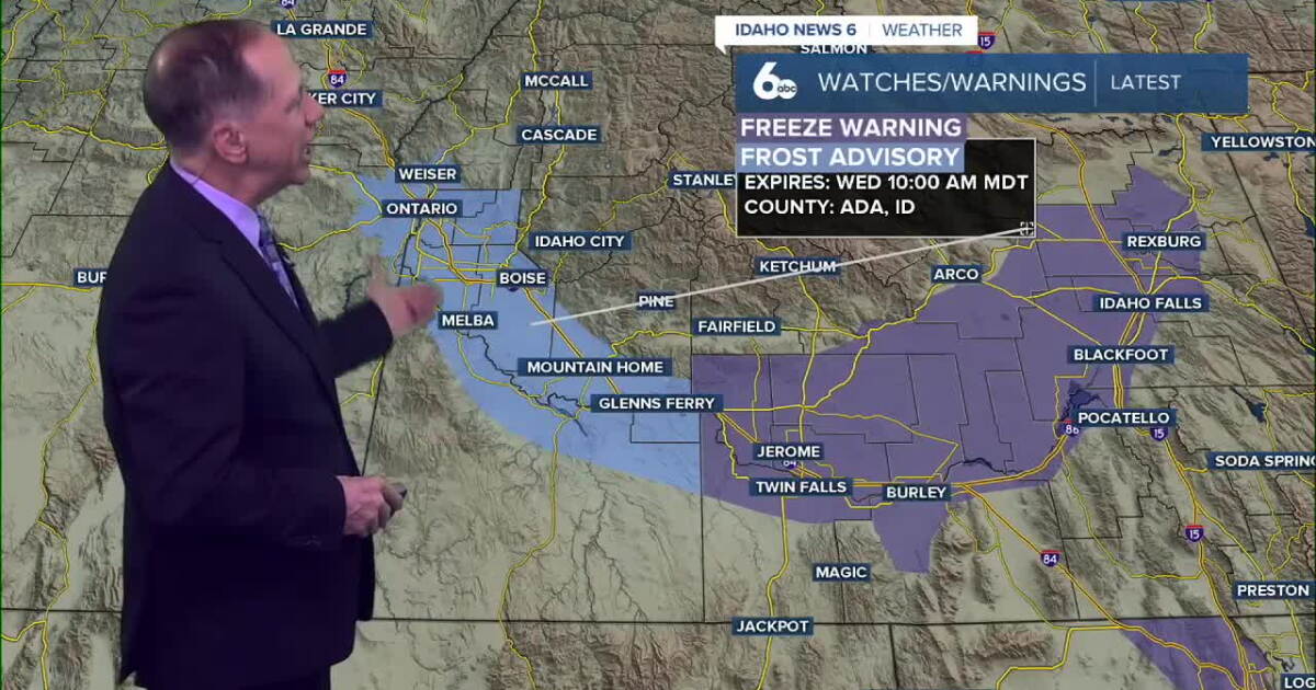 One More Frosty Morning, Then Idaho Warms Into the 70s
Wednesday morning will be the coldest part of the forecast. A Frost Advisory remains in effect for parts of the Snake River Plain, while colder air settling into the western Magic Valley will send temperatures down to…
-
 Dangerous Freeze Warnings Issued for Nevada, Idaho and Utah as Temperatures Plummet
Freeze Warnings are in effect tonight across parts of Utah, Nevada and Idaho, with lows in the mid to upper 20s on the Snake River Plain around Idaho Falls and Pocatello, and 28 in Lincoln County, Nevada. The warnings…
-
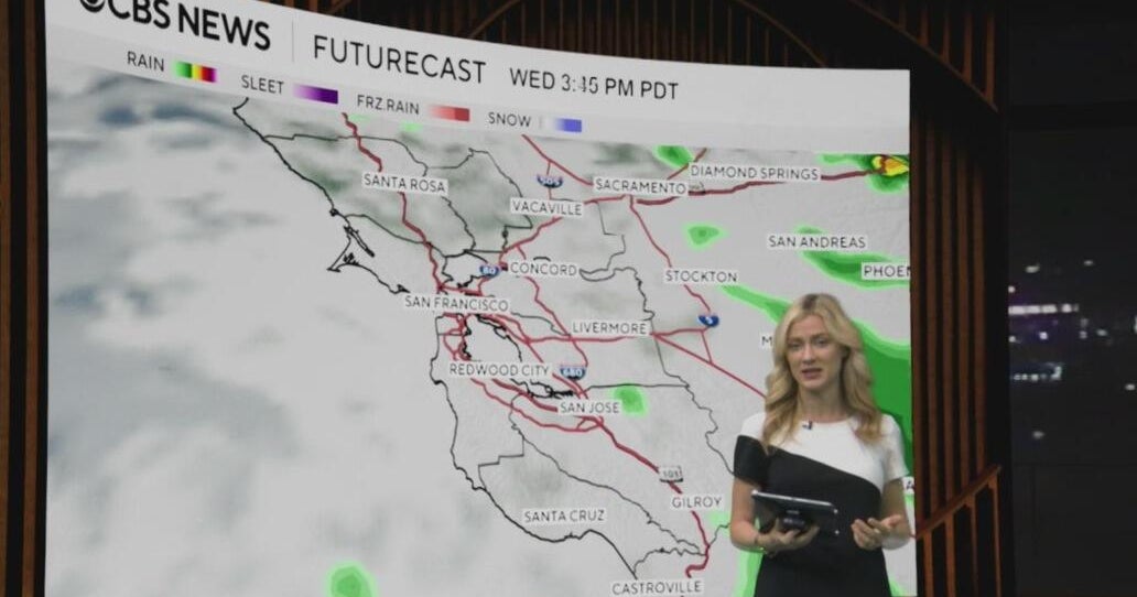 Tuesday morning First Alert weather forecast with Jessica Burch - 10/20/26
CBS News Bay Area is a local news organization that is part of CBS News and Stations. Also referred to as KPIX-TV and channel 5, CBS News Bay Area offers local breaking news, weather coverage and investigative…
-
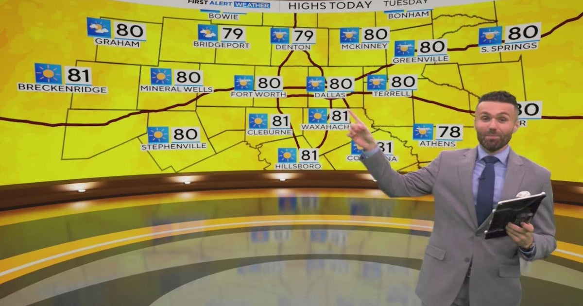 Great weather in North Texas this week
CBS News Baltimore 8am CBS News Boston 8am CBS News Chicago 7am CBS News Colorado This Morning 6am CBS News Los Angeles Mornings 5am CBS News Miami 8am CBS News New York 8am CBS News Texas 7am
-
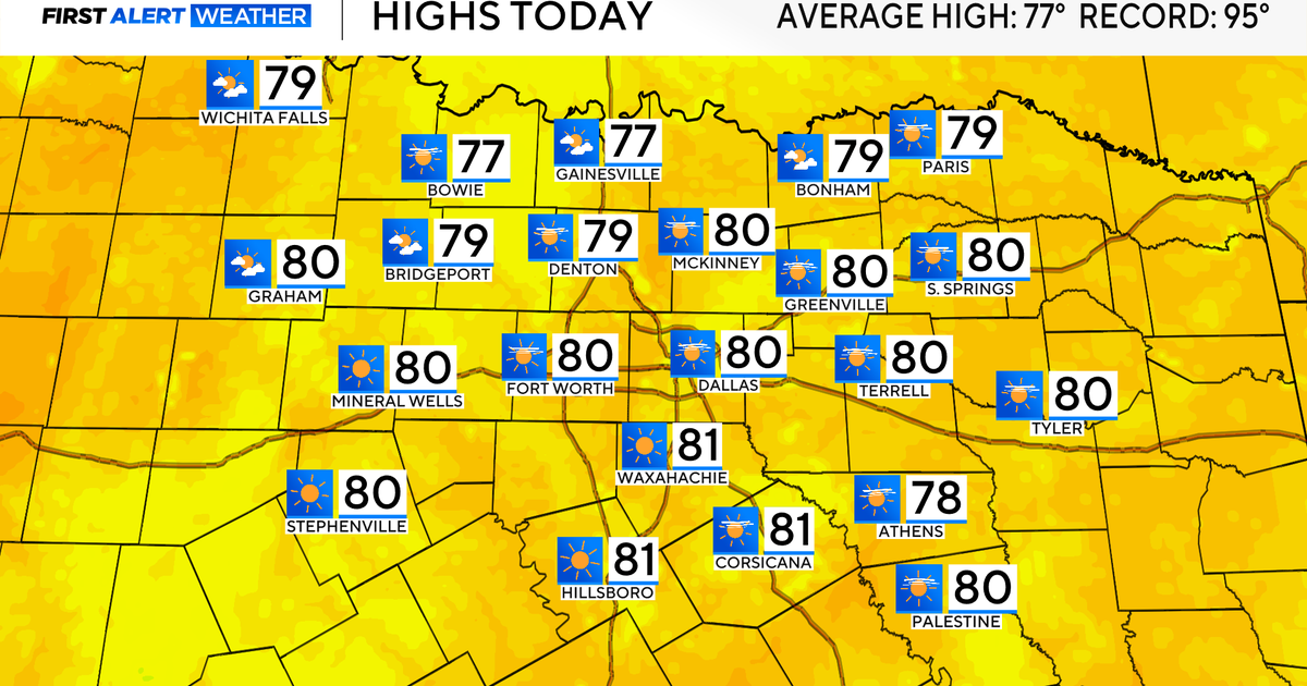 Temperatures climb into 80s as rain chances remain slim across North Texas
Updated on: October 20, 2026 / 7:28 AM CDT / CBS Texas It's another crisp fall morning, Tuesday, with temperatures in the 40s and 50s across North Texas. Have the light jacket handy and grab your sunglasses for the…
-
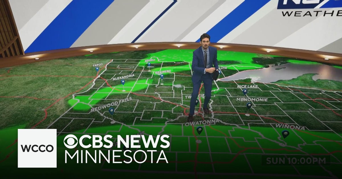 More sunny, mild late October weather in Minnesota | Oct. 20, 2026
CBS News Baltimore 8am CBS News Boston 8am CBS News Chicago 7am CBS News Colorado This Morning 6am CBS News Los Angeles Mornings 5am CBS News Miami 8am CBS News New York 8am CBS News Texas 7am
-
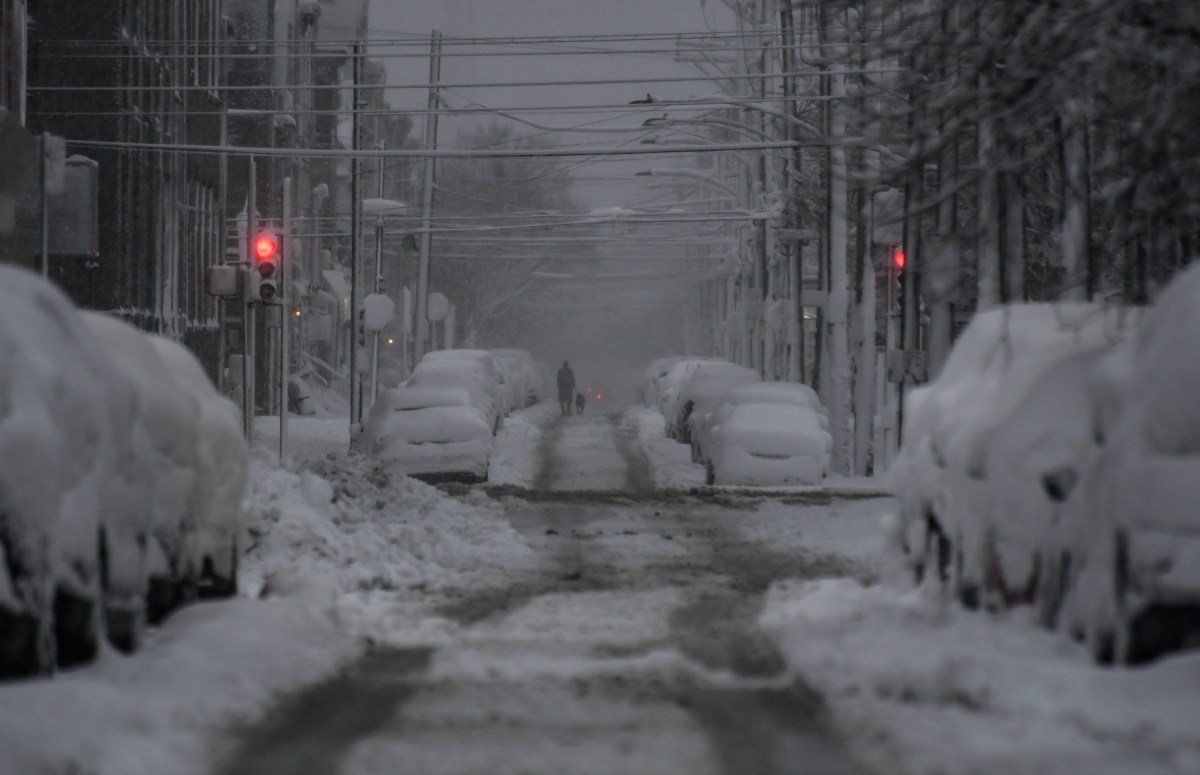 How US Winter Snow Forecasts Compare as El Niño Strengthens
Oct 20, 2026 at 08:00 AM EDT Winter snow forecasts are painting a mixed picture across the United States, as forecasters expect a strengthening El Niño to influence the upcoming season. While AccuWeather expects…
-
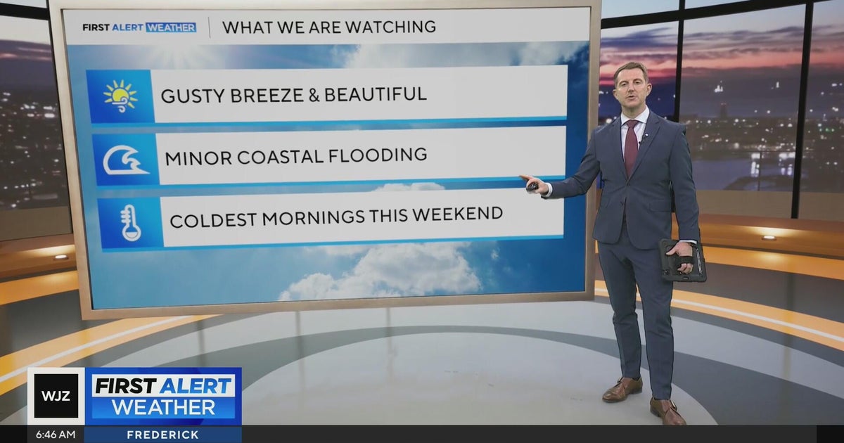 Beautiful stretch of weather in Maryland this week
CBS News Beautiful stretch of weather in Maryland this week Baltimore police investigate reported shooting along Belair Road Cool, nice, breezy weather continues in Maryland 1 killed in triple shooting near NW Baltimore…
Air quality
Air quality is satisfactory, and air pollution poses little or no risk.
Forecast
- TueGood (28)
- WedGood (32)
Lewiston, ID reporting area · 1 hr ago. Data from AirNow (EPA and its state, local and tribal partners); preliminary and subject to change.
Sun & moon
Almanac
MonthlyLewiston Area, records since 1881. Normals 1991–2020. Data from NOAA's Regional Climate Centers (ACIS).
Nearby
- Pullman 42 km
- Lewiston 5 km
- Moscow 39 km
- Clarkston 7 km
- Clarkston Heights-Vineland 8 km
- West Clarkston-Highland 7 km
- Orofino 56 km
Forecasters' discussion
From the National Weather Service office in OTX, issued 4 hrs ago
Key Messages
- Dry weather continues through Wednesday with mild afternoon temperatures.
- Breezy winds down the Okanogan Valley on Tuesday.
- Cooler weather with increased precipitation chances Thursday night through the weekend.
Synopsis
Dry weather is expected through Wednesday, with variable cloud cover and mild temperatures. Cooler weather and increasing precipitation chances arrive Thursday through the weekend.
Discussion
Today through Wednesday: The Low has finally reached the California coastline and still pushing upper level clouds across the Pacific Northwest. Dry, warm conditions are expected over the Inland Northwest through most of Wednesday. Precip chances across the region remain near 0 percent through Wednesday. Winds will be generally calm except a brief period of breezy winds down the Okanogan Valley on Tuesday morning with gusts into the upper 20 mph range. Omak has a 30-50 percent probability of gusts near 30 mph. The midweek highs will be in the 60s and low 70s. Overnight lows will be in the upper 20s and 30s. Overnight patchy frost could impact any remaining gardens and sensitive seasonal plants.
Late Wednesday through Friday: The Low finally ejects northeast toward Montana as a trough moves into the Pacific Northwest overnight Wednesday into Thursday. A wrap around band of moisture will bring increased shower chances to Southeast WA and the Idaho Panhandle on Thursday and Friday with a 40-80 percent probability of at least a tenth of an inch. A trough pattern will be over the Pacific Northwest behind the exiting Low. Friday will have mountain showers with breezy winds across the Basin. Wind speeds will be teens with gust into the 25-35 mph range for most. Waterville Plateau and Southeast WA have a 20-40 percent probability of reaching 40 mph gusts. Temperatures will trend cooler. Thursday and Friday highs will be in 50s to low 60s. Overnight lows will be in the 30s.
Saturday through Monday: Through the weekend, models are struggling on the incoming low and precip chances. The 3-7 day cluster analysis shows a near 50/50 split on whether the Inland northwest will be under a flat ridge or widespread precip Low. The consensus is keeping the precip on the west side of the Cascades. Current forecast keeps the small chance of showers across the Inland Northwest. If the drying trend continues, the precip chances will likely start to decline. Snow levels dropping down to around 4000 feet through the weekend. Back country trekkers should prepare for cold, possibly light snow conditions. Highs will be in the 50s to low 60s. Overnight lows will be in the upper 20s and 30s. /JDC
Aviation
12Z TAFS: Mid and high clouds will continue to stream across the region under southwest flow aloft. This will promote VFR conditions through the period with ceilings well above 10k ft AGL. Winds will increase from the north through the Okanogan Valley and northeast through the Purcell Trench of north Idaho this morning. Gusts up 25-30 mph are expected at KOMK before 20z. Lighter wind gusts of 15-20 mph will reach KMWH-KCOE. The midlevel clouds will decrease Tuesday afternoon but scattered to broken high clouds will remain in place. Lighter winds return region-wide Tuesday evening and night.
FORECAST CONFIDENCE AND/OR ALTERNATE SCENARIOS: High confidence in VFR conditions. High confidence in breezy north winds through the Okanogan Valley Tuesday morning. Moderate confidence for a few hours of gusts around 15kts at KCOE, KGEG, and KMWH.
-----------------------
Confidence descriptors: Low - Less than a 30 percent chance Moderate - 30 to 70 percent chance High - Greater than a 70 percent chance
For additional probabilistic information for NWS Spokane airports, please refer to the Aviation Dashboard on our webpage: https:/www.weather.gov/otx/avndashboard
Forecasts, observations and alerts in the United States come from the National Weather Service (NOAA); radar from NOAA's Multi-Radar Multi-Sensor system; satellite imagery from NASA's Global Imagery Browse Services (GIBS) and NOAA's GOES satellites; the map from the U.S. Geological Survey's National Map; air quality from AirNow (EPA and its partners); hurricane information from the National Hurricane Center; climate normals and records from NOAA's Regional Climate Centers (ACIS). Forecasts outside the United States and the UV index: MET Norway (CC BY 4.0); observations outside the U.S.: airport reports via NOAA's Aviation Weather Center. Place names: GeoNames (CC BY 4.0). Data are copied on a schedule and may lag the sources; for warnings that affect your safety, follow your local National Weather Service office and emergency officials. Weather news is drawn from the 4Conservative index and reflects what the press published. Terms of use.