Install
Clarkston Heights-Vineland, WA Weather
Current conditions
Observed at Lewiston, Lewiston-Nez Perce County Airport · 1 hr ago
Forecast
10-day-
Monday Night
A slight chance of rain showers. Partly cloudy, with a low around 38. Chance of precipitation is 20%.
-
Tuesday
A chance of rain showers before 5pm. Partly sunny, with a high near 59. Chance of precipitation is 30%.
-
Tuesday Night
Partly cloudy, with a low around 37.
National Weather Service forecast updated 4 days ago.
Hourly
Hourly forecast- Now42°23%
- 3 AM41°23%
- 4 AM40°23%
- 5 AM40°20%
- 6 AM39°20%
- 7 AM38°20%
- 8 AM39°20%
- 9 AM42°20%
- 10 AM46°20%
- 11 AM50°29%
- 12 PM53°29%
- 1 PM56°29%
- 2 PM58°29%
- 3 PM59°29%
- 4 PM58°29%
- 5 PM57°14%
- 6 PM55°14%
- 7 PM52°14%
- 8 PM49°14%
- 9 PM47°14%
- 10 PM46°14%
- 11 PM45°12%
- Wed12 AM43°12%
- 1 AM41°12%
Daily forecast
Details- ThuOct 22Chance Rain Showers then Light Rain97%47°67°
- FriOct 23Slight Chance Light Rain then Mostly Sunny22%34°59°
- SatOct 24Sunny38°61°
- SunOct 25Mostly Sunny38°63°
- MonOct 26Mostly Sunny then Slight Chance Rain Showers23%38°61°
- TodayOct 27Chance Rain Showers29%37°59°
- WedOct 28Mostly Sunny13%36°59°
- ThuOct 29Sunny37°57°
- FriOct 30Partly cloudy38°57°
Days after the National Weather Service's seven are MET Norway's outlook, a computer model with no forecaster's review.
Radar
Full mapWeather news in Washington
More weather news-
 Washington DC weather update: Pleasant sunny day with 22°C high and no rain expected
Washington DC, October 26, 2026 – Today, Washington DC is set to experience a pleasant day characterized by abundant sunshine and mild temperatures. The high will reach 22°C while the low hovers around 8°C, making it an…
-
 Washington DC weather forecast: Warm temperatures and sunshine expected today
Washington DC, October 25, 2026 – Today marks a splendid day in Washington DC as residents can expect ample sunshine and warm temperatures, making it a pleasant conclusion to the weekend. The high will reach a…
-
 ☔ More spotty showers through Tuesday and beyond - Kris
It's been a soggy start to the workweek, and we are far from finished with the showers. However, we do have some breaks in the wet weather. It will be a cool, breezy day, Tuesday, with highs in the lower 50s. The odds…
-
 Rain is here to dampen your Monday ☔
An active weather pattern is here for the start of the workweek. We'll see rainy weather by the end of the day, with more wet weather and a transition to colder late fall temperatures. An active weather pattern is here…
-
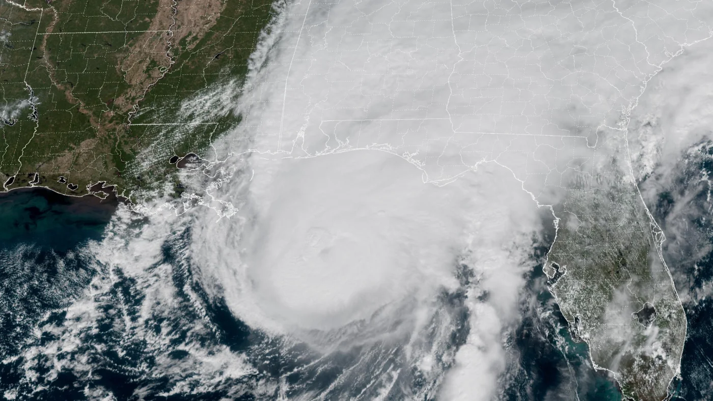 How AI is transforming hurricane forecasts
A satellite image provided by the National Oceanic and Atmospheric Administration (NOAA) shows Hurricane Isaias approaching the Gulf Coast of Alabama and Florida on Friday, Oct. 9 2026. NOAA/NOAA hide caption Hurricane…
-
 Yellow wind warning issued across Strathspey for Tuesday
A yellow wind warning has been issued by the Met Office for tomorrow after Storm Boelo brought disruption across the Highlands and North East. Starting at 3am on Tuesday, gusts of 50-60mph are expected and commuters are…
- Saudi Arabia issues red and orange alerts as heavy thunderstorms threaten several regions
JEDDAH — Red and orange weather alerts remain in effect as moderate to heavy thunderstorms continue to sweep across several Saudi regions on Monday, bringing heavy rainfall and the risk of flash floods, according to the…
-
 Storm Boelo disruption is ridden out in Badenoch and Strathspey
After yesterday’s outages in Glenmore and the Kincraig area reports are that power has been restored - but there are problems in the Strathspey area just above Grantown. So it’s been a very mixed day as Boelo’s winds…
- Two Rounds of Rain and Thunderstorms Expected in Arizona Next Weekend
According to the Arizona Weatherman, Friday through Monday, 30 Oct–2 Nov 2026, expect a one-two punch of rain and thunderstorms to impact the state. Moisture associated with Tropical Storm Vance will work its way into…
-
 Liverpool vs Brighton weather forecast amid latest Met Office warning as Storm Boelo hits
Liverpool undoubtedly face one of their hardest tests this season when they host high-flying Brighton at Anfield on Sunday afternoon just as Storm Boelo hits Merseyside. Football across the country has been impacted by…
Air quality
Acceptable. Unusually sensitive people should consider limiting prolonged outdoor exertion.
Forecast
- TueGood
Clarkston, WA reporting area · 1 hr ago. Data from AirNow (EPA and its state, local and tribal partners); preliminary and subject to change.
Sun & moon
Almanac
MonthlyLewiston Area, records since 1881. Normals 1991–2020. Data from NOAA's Regional Climate Centers (ACIS).
Nearby
- Pullman 39 km
- Lewiston 6 km
- Lewiston Orchards 8 km
- Moscow 39 km
- Clarkston 4 km
- West Clarkston-Highland 2 km
- Colfax 59 km
Forecasters' discussion
From the National Weather Service office in OTX, issued 1 hr ago
Key Messages
- Cool and showery weather pattern continues through the week with several rounds of valley rain and mountain snow showers expected.
- Snow levels fall to 3000 to 4000 feet by Wednesday morning. Expect winter travel conditions over the Cascade passes Tuesday night into Wednesday.
Synopsis
Another weather system will move into the region Tuesday night through Thursday. This will drop snow levels to between 2500 and 3000 feet over the Cascades and North-Central WA. For the ID Panhandle, snow levels will drop to around 4500 feet. Valley rain and mountain snow is expected, bringing winter travel conditions at times over mountain passes.
Discussion
Tuesday through Thursday: The Inland NW will be under the influence of an upper trough resulting in a cool and showery weather pattern. A deep closed low dropping out of southern British Columbia will bring cooler temperatures to the region, along with increasing showers as the mid level become more unstable as 500mb temperatures plunge Tuesday Night and Wednesday to -30C over the northern half of Washington into the North Idaho Panhandle. This combined with lower level upslope flow from west-southwest winds at 850mb into the Cascade crest, and mountains of Northeast Washington and the North ID Panhandle will produce several inches of snow. Bands of convergence into the Cascades also has the potential to produce brief periods of heavier snow with HREF showing around a 30-40 percent chance of 1 inch per hour snow rates Tuesday Night into Wednesday morning. A Winter Weather Advisory remains in place for elevations above 3000 feet in the Cascades from 5 PM Tuesday to 5 PM Wednesday with the highest amounts expected over Stevens and Washington Passes. Wednesday Night into Thursday as the closed low drops south to off the WA coast the flow turns southwest. And some subtle mid level drying will result in a decrease in the intensity and coverage of showers, but enough moisture lingers over the northern mountains and Cascades for additional light rain and mountain snow amounts. Below are the NBM chances for various snow thresholds being reached for the mountain passes from 5 PM Tuesday to 5 PM Thursday, which have increased compared to yesterday's probabilities:
Mountain Pass 2+ inches 4+ inches 6+ inches 8+ inches Stevens Pass 100% 95% 80% 50% Washington Pass 100% 70% 35% 10% Sherman Pass 90% 40% 1% 0% Lookout Pass 90% 50% 0% 0%
Friday through Monday: The influence of the upper low continues Friday and Saturday as another wave associated with the low passes through for more cool and showery conditions with mountain snow showers, and a rain/snow mix in the valleys. On Sunday the low starts to push out and is replaced by an upper ridge on Monday bringing dry weather and slightly warmer temperatures.
Aviation
06Z TAFS: Isolated to scattered shower activity will linger into Tuesday mainly over the ID Panhandle and eastern third of Washington, increasing Tuesday evening as the next weather system moves in. Rain has moistened the boundary layer considerably, with high resolution model data suggesting an increase in IFR and MVFR stratus over Northeast Washington and the Idaho Panhandle tonight including KGEG/KSFF/KCOE, and eventually KPUW later tonight (around 12z). Drier air in the boundary layer in Central WA has a better potential for continued VFR conditions including KEAT/KMWH. Stratus will linger into Tuesday morning before increasing southwest winds in the boundary layer help lift and break up the stratus.
FORECAST CONFIDENCE AND/OR ALTERNATE SCENARIOS: There is high confidence in increasing IFR and MVFR stratus over Northeast Washington into the Idaho Panhandle tonight into Tuesday morning including KGEG/KSFF/KCOE. Confidence in restrictions is lower for KPUW/KLWS as the boundary layer is moist but boundary layer winds not as favorable for low ceilings. Shallow ground fog could also form in the LC Valley with any breaks in the cloud cover tonight. JW
-----------------------
Confidence descriptors: Low - Less than a 30 percent chance Moderate - 30 to 70 percent chance High - Greater than a 70 percent chance
For additional probabilistic information for NWS Spokane airports, please refer to the Aviation Dashboard on our webpage: https:/www.weather.gov/otx/avndashboard
Forecasts, observations and alerts in the United States come from the National Weather Service (NOAA); radar from NOAA's Multi-Radar Multi-Sensor system; satellite imagery from NASA's Global Imagery Browse Services (GIBS) and NOAA's GOES satellites; the map from the U.S. Geological Survey's National Map; air quality from AirNow (EPA and its partners); hurricane information from the National Hurricane Center; climate normals and records from NOAA's Regional Climate Centers (ACIS). Forecasts outside the United States and the UV index: MET Norway (CC BY 4.0); observations outside the U.S.: airport reports via NOAA's Aviation Weather Center. Place names: GeoNames (CC BY 4.0). Data are copied on a schedule and may lag the sources; for warnings that affect your safety, follow your local National Weather Service office and emergency officials. Weather news is drawn from the 4Conservative index and reflects what the press published. Terms of use. How to use Weather