Install
Reno, NV 89512 Weather
Current conditions
Observed at Reno, Reno Tahoe International Airport · 1 hr ago
Forecast
10-day-
Tonight
Rain. Mostly cloudy, with a low around 39. Northwest wind 10 to 15 mph, with gusts as high as 35 mph. Chance of precipitation is 80%.
-
Friday
A chance of rain before 8am. Mostly sunny, with a high near 57. North wind around 10 mph. Chance of precipitation is 40%.
-
Friday Night
Mostly clear, with a low around 30. Northeast wind 0 to 10 mph.
National Weather Service forecast updated 16 hrs ago.
Hourly
Hourly forecast- Now52°49%
- 9 PM51°49%
- 10 PM49°49%
- 11 PM48°89%
- Fri12 AM48°89%
- 1 AM47°89%
- 2 AM46°70%
- 3 AM45°70%
- 4 AM43°70%
- 5 AM43°28%
- 6 AM40°28%
- 7 AM39°28%
- 8 AM40°
- 9 AM44°
- 10 AM48°
- 11 AM50°
- 12 PM52°
- 1 PM54°
- 2 PM55°
- 3 PM56°
- 4 PM57°
- 5 PM55°
- 6 PM54°
- 7 PM51°
10-day forecast
Details- TodayOct 22Showers And Thunderstorms87%39°59°
- FriOct 23Chance Light Rain then Mostly Sunny36%30°57°
- SatOct 24Sunny32°61°
- SunOct 25Sunny34°65°
- MonOct 26Sunny35°66°
- TueOct 27Mostly Sunny36°66°
- WedOct 28Mostly Sunny36°65°
- ThuOct 29Partly cloudy38°60°
- FriOct 30Cloudy39°62°
- SatOct 31Partly cloudy40°64°
Days after the National Weather Service's seven are MET Norway's outlook, a computer model with no forecaster's review.
Radar
Full mapWeather news near Reno
More weather news- Thunderstorms with marble-sized hail in the Greater Lake Tahoe Area and Greater Reno-Carson City-Minden area Wednesday
The Greater Lake Tahoe Area and Greater Reno-Carson City-Minden area are the focus of a weather alert for strong thunderstorms issued at 4:19 p.m. on Wednesday by the National Weather Service. The alert is in effect…
-
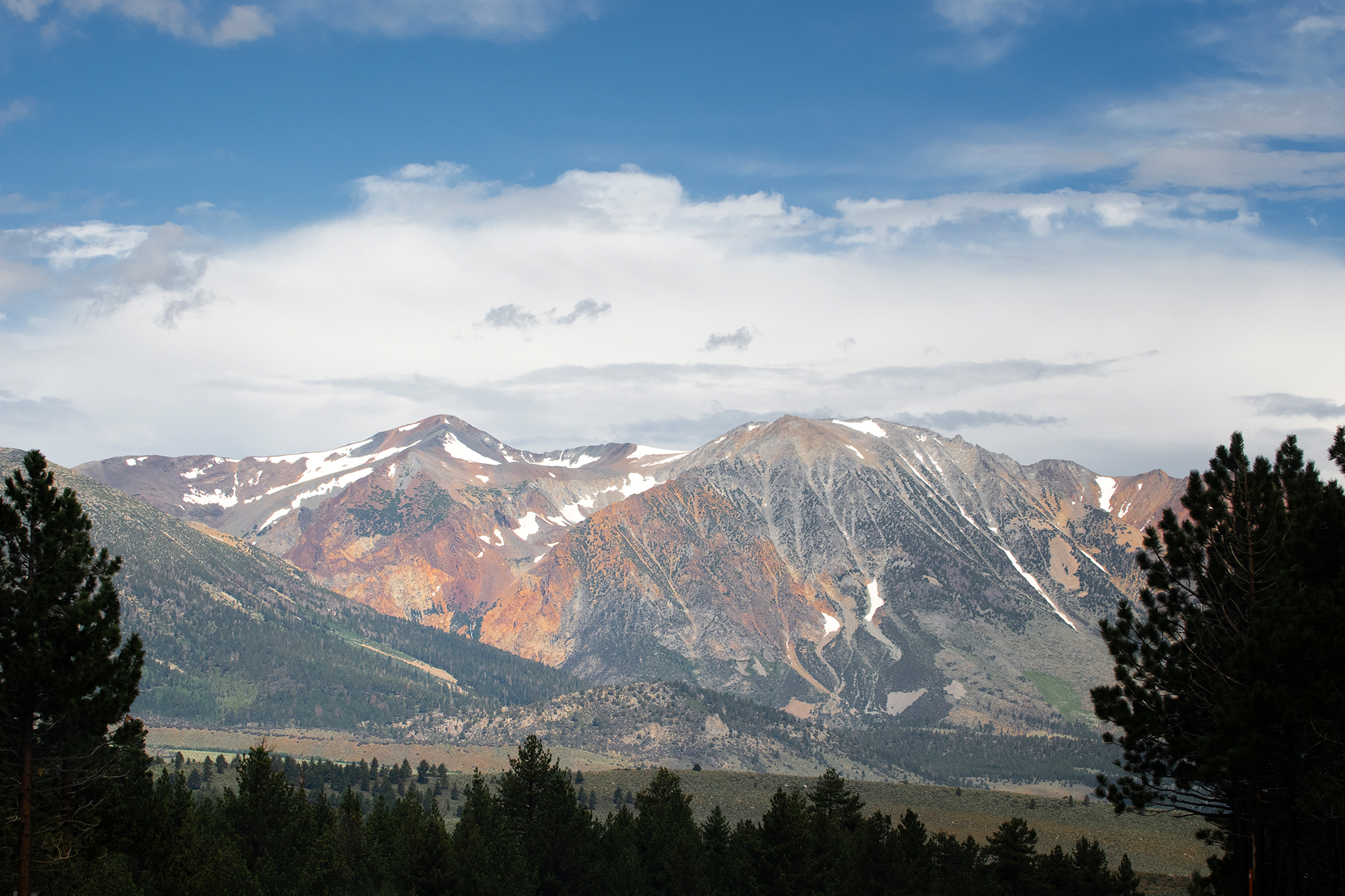 Storm to bring snow to high peaks in the Sierra Nevada
Mammoth Lakes could see snow from the storm moving into the Sierra Nevada this week. A storm moving through California this week is forecast to deliver snow to high peaks in the Sierra Nevada on Wednesday, with snow…
- Weather alert issued for Lake Tahoe early Wednesday evening, says the NWS
A weather alert was issued by the NWS Reno NV on Wednesday at 4:19 p.m. for strong thunderstorms until 5 p.m. for Lake Tahoe. Expect marble-sized hail (0.5 inches) and wind gusts of up to 40 mph. "At 4:19 p.m., Doppler…
-
 Winter Weather Advisory for 7 Counties in California: First Snow of the Season
A Winter Weather Advisory is in effect above 8,000 feet in the Sierra Nevada from 11 a.m. Wednesday to 11 a.m. PDT Thursday, bringing the first snow of the season. There is an 80 percent chance of 4 inches or more along…
- California-Nevada Border Weather Alert: Up to 10 Inches of Heavy Mountain Snow Oct. 21-22
By Country Herald Staff, Sierra Nevada, CA – Winter weather advisories have been issued across California's Sierra Nevada near the Nevada border, with up to 10 inches of mountain snow possible Wednesday, October 21…
-
 Wednesday Web Weather
KOLO | 8 News Now RENO, Nev. (KOLO) - An area of low pressure will track into the region through Friday. Valley rain and High Sierra snow are likely at times, with snow levels mainly above 7,500′. A few thunderstorms…
-
 Tracking rain and snow chances
| Videos | 2news.com KTVN There is a slight storm chance on Tuesday, with a much better chance for valley rain and mountain snow on Wednesday and Thursday. Churchill County Search and Rescue say three stranded children…
-
 Tuesday Web Weather
KOLO | 8 News Now RENO, Nev. (KOLO) - An area of low pressure will drop down the coast on Tuesday and then track into the region Wednesday through Friday. Valley rain and High Sierra snow are likely at times, with snow…
-
 Gusty, sunny Monday in store for Reno, Lake Tahoe
KRXI2 Typical fall weather seems to be finally making its way into northern Nevada this week! But on Monday, we're sticking in the 70s, with a high of 75 degrees in Reno and sunny conditions We'll be on fire weather…
-
 More sunshine, dry conditions to wrap up your weekend in Reno
KRXI2 It's been warm and dry all weekend here in northern Nevada, and those beautiful conditions will stick around for your Sunday Reno's forecasted high comes in at 78 degrees, a little warmer than it typically is this…
Air quality
Air quality is satisfactory, and air pollution poses little or no risk.
Forecast
- ThuGood
- FriGood
- SatGood
Reno-Sparks, NV reporting area · 1 hr ago. Data from AirNow (EPA and its state, local and tribal partners); preliminary and subject to change.
Sun & moon
Almanac
MonthlyVirginia City, records since 1887. Normals 1991–2020. Data from NOAA's Regional Climate Centers (ACIS).
Nearby
- Sparks 4 km
- Carson City 43 km
- Fernley 47 km
- Sun Valley 6 km
- Truckee 41 km
- Spanish Springs 14 km
- Dayton 39 km
- Incline Village 36 km
- Cold Springs 21 km
- Johnson Lane 56 km
- Indian Hills 51 km
- Silver Springs 51 km
Forecasters' discussion
From the National Weather Service office in REV, issued 6 hrs ago
Key Messages
* Persistent rain this afternoon and tonight may cause localized flooding in northeastern Lassen County, Surprise Valley, northern Washoe County and northwestern Pershing County, especially near burn scars.
* Showers and isolated thunderstorms may produce small hail, gusty outflows and brief downpours this afternoon and evening. Snow bursts above 8000 feet may make Mono County passes slick.
* Northeast to east wind Friday night into Saturday bring rough conditions on Lake Tahoe and low wind chills on exposed Sierra peaks. Dry weather and cold nights prevail this weekend.
Discussion
Storm precipitation so far:
* 36-hour quantitative precipitation estimates ending 11 AM PDT shows 0.25-0.75 inch around Tahoe/Truckee, Alpine County, Carson Valley and Lovelock/Fallon, locally over 1 inch east of Fallon. Estimates are generally under 0.25 inch across eastern Plumas/Lassen counties, Surprise Valley and northern Washoe County; elsewhere, mostly 0.05-0.50 inch, including Sierra Valley, Reno-Sparks, and Lyon, Mineral and Mono counties. Snowfall reports reached 3-5 inches in the high terrain west of Mammoth Lakes.
This afternoon through Friday morning:
* Satellite shows the closed low lifting northeast across California, with rain bands from Tahoe/Reno to Lovelock and the Black Rock Desert. Cold air aloft supports 700-500-mb lapse rates near 6.5-7.5C/km. Residual boundary-layer moisture and any heating beneath cloud breaks favor weak instability and a 20% thunderstorm chance, with small hail, downpours and gusty outflows.
* Mono County snow levels lower from 8000 to around 7500 feet this evening. Convective snow bursts support keeping the Winter Weather Advisory above 8000 feet through 5 PM, with lighter accumulations thereafter.
* Upper-level divergence ahead of a 90-110 kt jet and convergence along the cold front/outflow boundaries will make rain more widespread and persistent this afternoon and tonight. Thunderstorm chances diminish this evening, but continued ascent through moist air sustains steadier, locally heavy rain.
Aviation
KRNO... Mainly VFR; 30% chance of TSRA through 23Z with brief MVFR visibility and gusts to 35 kt. West gusts to 20 kt 23-03Z, then north winds overnight. Showers return 07-15Z with ceilings near 3500 ft AGL.
Regional... SHRA/isolated TS through 00Z bring mountain obscuration, brief MVFR/IFR and outflow gusts to 35 kt. Wet ground/light winds favor KTRK IFR visibility after 07Z. For 12-15Z, 18Z LAMP gives a 40-55% chance of visibility below 1 SM if showers persist. KTVL trends MVFR after 09Z; MVFR ceilings may linger at both through late Friday morning. Weekend concerns: KTRK fog/freezing fog and Sierra crest turbulence Friday night/Saturday.
-Johnston
Forecasts, observations and alerts in the United States come from the National Weather Service (NOAA); radar from NOAA's Multi-Radar Multi-Sensor system; satellite imagery from NASA's Global Imagery Browse Services (GIBS) and NOAA's GOES satellites; the map from the U.S. Geological Survey's National Map; air quality from AirNow (EPA and its partners); hurricane information from the National Hurricane Center; climate normals and records from NOAA's Regional Climate Centers (ACIS). Forecasts outside the United States and the UV index: MET Norway (CC BY 4.0); observations outside the U.S.: airport reports via NOAA's Aviation Weather Center. Place names: GeoNames (CC BY 4.0). Data are copied on a schedule and may lag the sources; for warnings that affect your safety, follow your local National Weather Service office and emergency officials. Weather news is drawn from the 4Conservative index and reflects what the press published. Terms of use.