Install
Fernley, NV Weather
Current conditions
Forecast for this hour (no station report in the last two hours)
Forecast
10-day-
Today
A chance of rain after 5pm. Mostly sunny, with a high near 70. East wind 0 to 5 mph. Chance of precipitation is 30%.
-
Tonight
A chance of rain before 11pm. Mostly cloudy, with a low around 44. North wind 0 to 5 mph. Chance of precipitation is 30%.
-
Wednesday
A chance of showers and thunderstorms between 11am and 2pm, then showers and thunderstorms. Mostly cloudy, with a high near 65. East wind 0 to 5 mph. Chance of precipitation is 90%. New rainfall amounts between a quarter and half of an inch possible.
National Weather Service forecast updated 10 hrs ago.
Hourly
Hourly forecast- Now69°12%
- 4 PM69°12%
- 5 PM70°30%
- 6 PM68°30%
- 7 PM65°30%
- 8 PM63°22%
- 9 PM58°22%
- 10 PM56°22%
- 11 PM54°
- Wed12 AM52°
- 1 AM51°
- 2 AM49°
- 3 AM48°
- 4 AM46°
- 5 AM46°
- 6 AM45°
- 7 AM44°
- 8 AM46°13%
- 9 AM51°13%
- 10 AM55°13%
- 11 AM59°32%
- 12 PM62°32%
- 1 PM63°32%
- 2 PM64°58%
Daily forecast
Details- TodayOct 20Mostly Sunny then Chance Light Rain30%44°70°
- WedOct 21Chance Showers And Thunderstorms93%42°65°
- ThuOct 22Light Rain Likely66%37°58°
- FriOct 23Sunny31°58°
- SatOct 24Sunny33°59°
- SunOct 25Mostly Sunny34°62°
- MonOct 26Mostly Sunny34°61°
- TueOct 27Cloudy45°63°
- WedOct 28Cloudy48°65°
Days after the National Weather Service's seven are MET Norway's outlook, a computer model with no forecaster's review.
Radar
Full mapWeather news near Fernley
More weather news-
 Evening weather forecast for October 16
| Videos | 2news.com KTVN Warm and dry weather prevails through the weekend with east to southeast breezes this afternoon. Increasing south to southwest winds by Monday afternoon as a storm approaches the west coast…
-
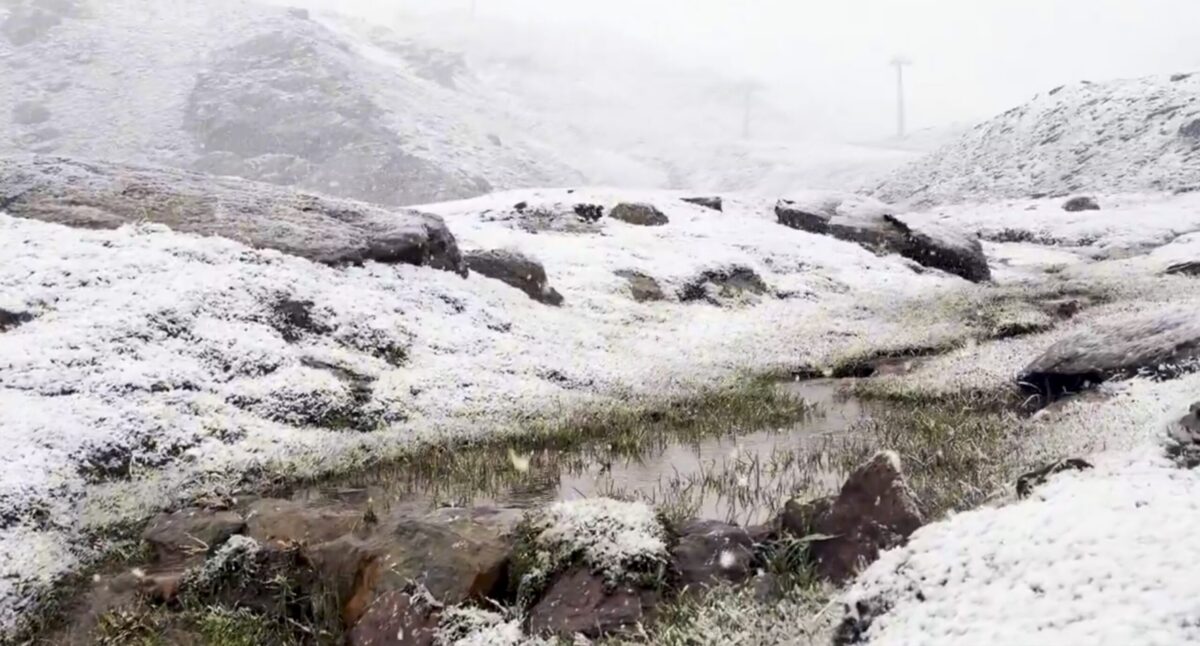 Sierra Nevada turns white early: First autumn snow hits peaks above Borreguiles
First snow of the season in Sierra Nevada. Credit: SN X First proper snow of the autumn has arrived on Sierra Nevada’s high ground this weekend, turning upper slopes white just as the resort looks forward to the 2026/27…
-
 Sunshine, warmer temperatures continue across northern Nevada Saturday
A beautiful Friday evening from News4/FOX11's Porsche Reno SkyCam Saturday is shaping up to be a beautiful day across the Truckee Meadows, with plenty of sunshine and temperatures climbing into the upper 70s in Reno…
-
 A Beautiful Fall Weekend in Southern Nevada
KTNV Las Vegas TONIGHT: Clear Low: 62 ° Winds: NE 5-10SATURDAY: Partly cloudy High: 79° Winds: NE 5-15SUNDAY: Sunny High: 79° Winds: Light NEFridayâs HaikuClear and cool tonightA beautiful fall weekendHighs around…
-
 Gusty North Winds Continue in Southern Nevada
ktnv.com Gusty North Winds Continue in Southern Nevada
-
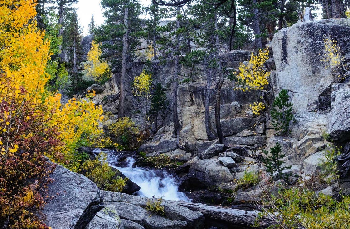 Drought Status Update for California-Nevada
NIDIS and its partners will issue future drought status updates as conditions evolve. Water Year 2026 Recap: Near-Normal Precipitation and a Warm Water Year Caused Mixed Drought Conditions This update is based on data…
-
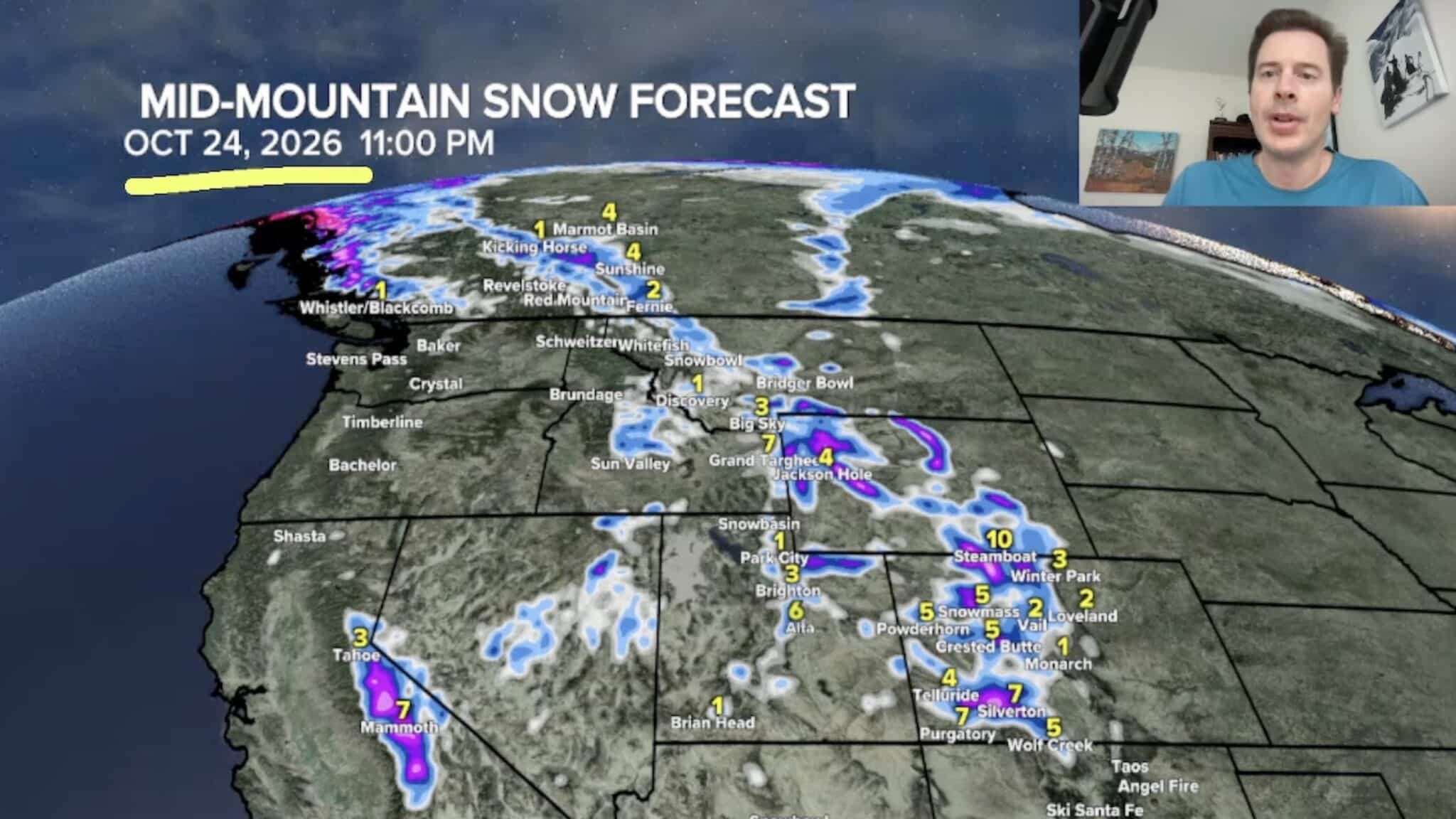 Sierra Nevada, Colorado, and Wyoming Could See A Lot More Snow Next Week
The Sierra Nevada is positioned to receive some of the highest snowfall totals in Tomer’s latest forecast. The incoming storm is expected to dig south into California, generating snowfall across the High Sierra. Tomer…
-
 America’s Most Turbulent Flights Come From Utah & Nevada!
If you fly between Salt Lake City and Denver, buckle up. Six of America's ten roughest flight routes involve Utah or Nevada, where the Rocky Mountains and strong winds create consistent turbulence for travelers…
- Moisture From Hurricane Rachel Brought Measurable Snowfall to the Sierra Nevada
As Hurricane Rachel transitioned to a tropical storm and hooked toward Southern California, the system’s remnants coincided with a cold low-pressure system, bringing an early season dusting of snow to the Sierra Nevada…
-
 Dangerous Freeze Warnings Issued for Nevada, Idaho and Utah as Temperatures Plummet
Freeze Warnings are in effect tonight across parts of Utah, Nevada and Idaho, with lows in the mid to upper 20s on the Snake River Plain around Idaho Falls and Pocatello, and 28 in Lincoln County, Nevada. The warnings…
Air quality
Air quality is satisfactory, and air pollution poses little or no risk.
Forecast
- TueGood
- WedGood
- ThuGood
Fernley, NV reporting area · 1 hr ago. Data from AirNow (EPA and its state, local and tribal partners); preliminary and subject to change.
Sun & moon
Nearby
- Reno 49 km
- Sparks 44 km
- Sun Valley 45 km
- Spanish Springs 39 km
- Dayton 51 km
- Fallon 43 km
- Silver Springs 22 km
- Lemmon Valley 51 km
Forecasters' discussion
From the National Weather Service office in REV, issued 13 hrs ago
Key Messages
* Cooling trend continues today with increased southeast breezes for Mono and Mineral counties, and showers with embedded lightning this afternoon and evening.
* A slow moving storm will bring wetting rains and high elevation snow to the region Wednesday and Thursday.
* Cool but mainly dry Friday into the weekend. Unsettled pattern could bring a storm or two next week.
Discussion
A storm currently off the CA coast will begin a sharp change to a cooler and wetter weather pattern starting today, with the main impacts expected from late Wednesday morning through Thursday night as this system moves slowly inland.
* For today, widespread cloud cover expands over CA-NV. Overall, winds will be lighter compared to Monday, except for Mineral and eastern Mono counties where increasing southeast flow brings wind gusts of 30-40 mph this afternoon. Bands of mainly light rain showers are also expected to form across the eastern Sierra and west central NV this afternoon, with embedded lightning strikes within these bands. These showers will generally move to the northwest across western NV and northeast CA through this evening. Precip amounts through tonight will be generally 0.10" or less with fast shower motions along with the transition from a dry to a wetter air mass.
* Confidence continues to grow in a widespread wetting rain event (70+% chance of rainfall totals exceeding 0.25") starting Wednesday, as larger areas of rain and thunderstorms develop around late morning/midday near the eastern Sierra and expand north and east through Wednesday afternoon-evening. Stronger forcing and instability (CAPE values up to 500 J/kg) and precipitable water values rising to 0.6-0.8" will support areas of more organized storms capable of producing locally heavy rainfall and minor accumulations of small hail.
* Additional shower bands with embedded lightning are projected to form Wednesday night mainly south of US-50, followed by another round of larger rain/thunderstorm areas through Thursday across much of the region with chilly daytime highs mainly in the upper 40s to upper 50s. As the low travels inland, wrap-around rain bands are also anticipated. Areas of west central NV near and east of US-95 most favored to see these bands through Thursday night, ending early Friday as the low exits to the eastern Great Basin.
* While this rain will include beneficial impacts such as greatly reducing fire potential, recharging the waterways, and easing the dust buildup from an overall dry early fall, areas with more persistent heavier showers/storms could receive total rainfall of 1-2" for this 2-day event. This could lead to flooding in poor drainage areas or on recent burn scars including the Hawk, Bull and Bug fires near Reno. With autumn leaf and needle drop happening, gutters and drains should be checked/cleared before the rain begins. Watch for slick roads as oils and other vehicle fluid deposits combine with the rainfall, leading to slower commutes from Wednesday afternoon through Thursday.
* For higher Sierra elevations (mainly above 8000-8500 ft), snow could impact higher passes/summits including Ebbetts, Tioga, Sonora, Carson and Mt Rose at times from Wednesday night through Thursday. These areas have a 80+% chance of at least 2" of snow and a 40-70% chance for at least 4", with higher-end scenarios producing up to 12" for higher peaks of the Sierra crest and White Mountains in Mono County. Although the majority of the Tahoe and eastern Sierra communities aren't expecting snow with this event, now is a good time to ensure your vehicle is ready for winter travel (good tire tread, wipers & battery, having chains handy and checking your survival kit).
Aviation
* FL100 wind gusts of 35-40 kt will produce areas of LLWS until around 16Z this morning near most of the main terminals (except KMMH). Otherwise, lighter E-SE winds are expected across the main terminals through the remainder of today. VFR conditions prevail although mid-high cloud cover increases. Isolated -SHRA after 21Z for the Sierra terminals and after 00Z for western NV sites could produce brief mountain top obscurations at times thru 06Z this evening.
* More widespread rain from Wednesday afternoon through Thursday brings longer periods of MVFR or IFR conditions and terrain obscurations to the main terminals. Thunderstorm chances peak at 20-25% between 20-02Z Wednesday afternoon-early evening. MJD
Forecasts, observations and alerts in the United States come from the National Weather Service (NOAA); radar from NOAA's Multi-Radar Multi-Sensor system; satellite imagery from NASA's Global Imagery Browse Services (GIBS) and NOAA's GOES satellites; the map from the U.S. Geological Survey's National Map; air quality from AirNow (EPA and its partners); hurricane information from the National Hurricane Center; climate normals and records from NOAA's Regional Climate Centers (ACIS). Forecasts outside the United States and the UV index: MET Norway (CC BY 4.0); observations outside the U.S.: airport reports via NOAA's Aviation Weather Center. Place names: GeoNames (CC BY 4.0). Data are copied on a schedule and may lag the sources; for warnings that affect your safety, follow your local National Weather Service office and emergency officials. Weather news is drawn from the 4Conservative index and reflects what the press published. Terms of use.