Install
Bullhead City, AZ 86430 Weather
Current conditions
Forecast for this hour (no station report in the last two hours)
Forecast
10-day-
Saturday
Sunny, with a high near 79. North wind 12 to 25 mph, with gusts as high as 36 mph.
-
Saturday Night
Mostly clear, with a low around 62. North wind 7 to 10 mph.
-
Sunday
Sunny, with a high near 80.
National Weather Service forecast updated 2 days ago.
Hourly
Hourly forecast- Now79°
- 3 PM79°
- 4 PM78°
- 5 PM77°
- 6 PM75°
- 7 PM72°
- 8 PM70°
- 9 PM68°
- 10 PM67°
- 11 PM66°
- Sun12 AM65°
- 1 AM65°
- 2 AM64°
- 3 AM63°
- 4 AM62°
- 5 AM62°
- 6 AM62°
- 7 AM62°
- 8 AM63°
- 9 AM66°
- 10 AM70°
- 11 AM74°
- 12 PM77°
- 1 PM79°
10-day forecast
Details- TonightOct 22Clear58°
- FriOct 23Sunny62°77°
- TodayOct 24Sunny62°79°
- SunOct 25Sunny62°80°
- MonOct 26Sunny63°82°
- TueOct 27Sunny63°83°
- WedOct 28Mostly Sunny64°82°
- ThuOct 29Mostly Sunny11%80°
- FriOct 30Cloudy65°82°
- SatOct 31Rain0.37 in62°79°
Days after the National Weather Service's seven are MET Norway's outlook, a computer model with no forecaster's review.
Radar
Full mapWeather news near Bullhead City
More weather news-
 Bullhead City, AZ Weather Forecast – Hourly & 15-Day
United States · Arizona Sensitive people should reduce strenuous and prolonged outdoor exertion. Air quality is favorable for outdoor activities. ✓Air quality is acceptable for most people. Sunglasses and sun protection…
-
 Strong wind, chilly temperatures headed to western North Carolina this weekend
President Trump delivers remarks at a Midterm Rally at Laughlin/Bullhead International Airport in Bullhead City, Arizona. ASHEVILLE, N.C. (WLOS) — The Western Carolinas are set to experience a weather whiplash this…
-
 Frost and Freeze Alerts end this morning before temperatures climb
President Trump delivers remarks at a Midterm Rally at Laughlin/Bullhead International Airport in Bullhead City, Arizona. BOISE, Idaho (CBS2) — A cold start brings frost and freezing temperatures to parts of southwest…
-
 MOST ACCURATE FORECAST: Cooler, drier air settles into Arizona
PHOENIX — The powerful fall storm that brought severe weather to Arizona this week has moved out of the state. The storm system triggered 16 Tornado Warnings across Arizona on Wednesday and Thursday. A likely tornado…
-
 Severe weather is leaving Arizona. Here’s what to expect next
After several days of severe weather across Arizona, mainly quiet conditions return for Friday and the weekend. Ian Schwartz has your First Alert forecast. PHOENIX (AZFamily) — After several days of severe weather…
-
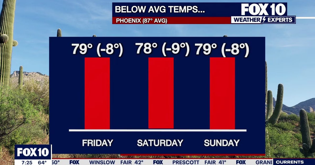 Arizona weather forecast: Cooler highs and sunny weekend skies in Phoenix
PHOENIX - Friday morning temperatures across Phoenix show most residents starting in the mid-to-upper 50s or low 60s. Wickenburg recorded upper 40s, while temperatures reached 59 degrees in Mesa, Phoenix-Mesa Gateway…
-
 MOST ACCURATE FORECAST: Tornado Watch for much of Arizona
PHOENIX — A powerful fall storm is moving through Arizona. Strong to severe storms are impacting parts of the state again Thursday. The storm threat shifts into eastern Arizona this afternoon before clearing out…
-
 After a stormy few days in Arizona, sunshine and fall temps return Friday
TUCSON, Ariz. (13 News) - Tornado Watch in Cochise, Graham, and Greenlee Counties until 8pm tonight. Severe weather potential remains this afternoon and evening throughout Arizona. A Flood Watch is still valid for our…
-
 Golf Ball-Sized Hailstones Pummel Parts of Arizona in Rare Storm
Tornado watches were issued for several areas—the first in Arizona since 2010. What would you like to watch today?
-
 Tornado Watch in effect for parts of southeast Arizona
TUCSON, Ariz. (13 News) - Another active day across the state. Main threat will be heavy rain, strong winds, hail, and potentially a tornado. A Tornado Watch has been issued for to Graham, Greenlee, and Cochise counties…
Sun & moon
Almanac
MonthlyBullhead City, records since 1977. Normals 1991–2020. Data from NOAA's Regional Climate Centers (ACIS).
Nearby
- Kingman 45 km
- New Kingman-Butler 48 km
- Golden Valley 30 km
- Laughlin 4 km
- Needles 34 km
- Mohave Valley 24 km
- Golden Shores 41 km
- Dolan Springs 55 km
Forecasters' discussion
From the National Weather Service office in VEF, issued 13 hrs ago
Key Messages
* Gusty north winds today with lingering shower and storm chances in northwestern Arizona.
* Quiet and seasonable conditions through at least Wednesday, with signs of a more active pattern returning late in the week.
Discussion
through Halloween.
Water vapor imagery shows a trough overhead with a vort max over southern CA in the process of pinching off into a closed low. Behind the shortwave, gusty north winds are currently pushing through the southern Great Basin and into the northern Mojave Desert. These will continue advance southward, encompassing most of the CWA by sunrise. Strongest winds anticipated in Death Valley and the southern Owens Valley where gusts of 40-50 mph are possible through the morning hours. Elsewhere, expecting gusts generally 20-35 mph, weakening during the 2nd half of the day. The formation of the closed low will cause the system to slowly exit the region, lingering over northwestern AZ this afternoon. The cold air aloft, residual moisture, and daytime heating should drive isolated to scattered showers and maybe even a few storms over eastern Mohave County (20- 40%), with lower chances (10-20%) over southeastern NV and the Colorado River Valley. Can't completely rule out an isolated instance of flash flooding in eastern Mohave County, but odds are 5% at best.
Our low finally exits on Sunday, leaving us in a zonal pattern for a few days before transitioning to southwesterly flow later in the week. From Sunday - Thursday, the forecast calls for seasonable temperatures, light breezes, and dry conditions. Late in the week, ensemble guidance shows an energized subtropical jet trying to push moisture into the southwestern US. Cluster analysis shows several variations of offshore troughing during this time, so there remains a fair amount of uncertainty, but there appears to be a good signal for the existence of an offshore trough and southwesterly flow over us. Should this come to fruition, we should see an increase in southwest winds and low to moderate (10-50%) precipitation chances around Halloween weekend.
Aviation
For Harry Reid...For the 06Z Forecast Package...Light northwest will persist a few more hours. A push of stronger northwest winds are expected tonight, likely after 09Z. Gusts up to 25KT are expected with these stronger winds with the push of winds, especially at onset. Gusty northwest will continue through Saturday morning into the afternoon, then will slowly diminishing 21Z. Gusts should end by 00Z. Northwest will continue into Saturday evening but will remain at 10-15KT for the first part of the night, then lighter winds will arrive by 06Z. VFR mostly clear skies will persist through the TAF period.
For the rest of southern Nevada, northwest Arizona and southeast California...For the 06Z Forecast Package...Expect an increase in winds overnight at most locations as a cold front pushes through the region. Gusts 25-35KT are expected behind the front. Gusty north to northwest winds last into the first half of the day Saturday, then likely begin diminishing late afternoon and evening. Mostly clear skies last through the TAF period. Other a few isolated showers in Mohave County Saturday night, it will be dry across the region.
Spotter Information Statement
Spotters are encouraged to report any significant weather or impacts according to standard operating procedures.
Forecasts, observations and alerts in the United States come from the National Weather Service (NOAA); radar from NOAA's Multi-Radar Multi-Sensor system; satellite imagery from NASA's Global Imagery Browse Services (GIBS) and NOAA's GOES satellites; the map from the U.S. Geological Survey's National Map; air quality from AirNow (EPA and its partners); hurricane information from the National Hurricane Center; climate normals and records from NOAA's Regional Climate Centers (ACIS). Forecasts outside the United States and the UV index: MET Norway (CC BY 4.0); observations outside the U.S.: airport reports via NOAA's Aviation Weather Center. Place names: GeoNames (CC BY 4.0). Data are copied on a schedule and may lag the sources; for warnings that affect your safety, follow your local National Weather Service office and emergency officials. Weather news is drawn from the 4Conservative index and reflects what the press published. Terms of use.