Install
Milton, FL 32572 Weather
Current conditions
Forecast for this hour (no station report in the last two hours)
Forecast
10-day-
Today
Sunny, with a high near 81. North wind 0 to 5 mph.
-
Tonight
Clear, with a low around 54. North wind 0 to 5 mph.
-
Friday
Sunny, with a high near 80. Northeast wind around 5 mph.
National Weather Service forecast updated 9 hrs ago.
Hourly
Hourly forecast- Now77°
- 1 PM80°
- 2 PM81°
- 3 PM81°
- 4 PM80°
- 5 PM78°
- 6 PM74°
- 7 PM69°
- 8 PM66°
- 9 PM64°
- 10 PM62°
- 11 PM60°
- Fri12 AM59°
- 1 AM58°
- 2 AM57°
- 3 AM56°
- 4 AM55°
- 5 AM54°
- 6 AM54°
- 7 AM54°
- 8 AM57°
- 9 AM62°
- 10 AM69°
- 11 AM73°
10-day forecast
Details- TodayOct 22Sunny54°81°
- FriOct 23Sunny51°80°
- SatOct 24Sunny55°75°
- SunOct 25Sunny54°75°
- MonOct 26Sunny53°76°
- TueOct 27Sunny54°77°
- WedOct 28Mostly Sunny53°78°
- ThuOct 29Partly cloudy57°79°
- FriOct 30Partly cloudy57°79°
- SatOct 31Partly cloudy53°80°
Days after the National Weather Service's seven are MET Norway's outlook, a computer model with no forecaster's review.
Radar
Full mapWeather news near Milton
More weather news-
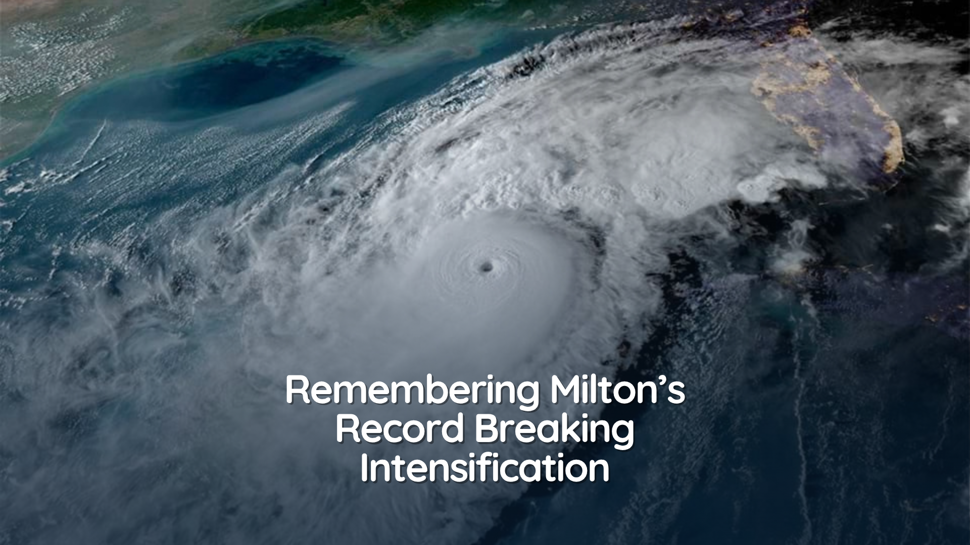 How Hurricane Milton Made Atlantic Hurricane History
35 mph to 160 mph. That's how quickly Hurricane Milton intensified in October 2024, going from a tropical depression to a Category 5 hurricane in less than 49 hours. The incredible transformation set a record for the…
-
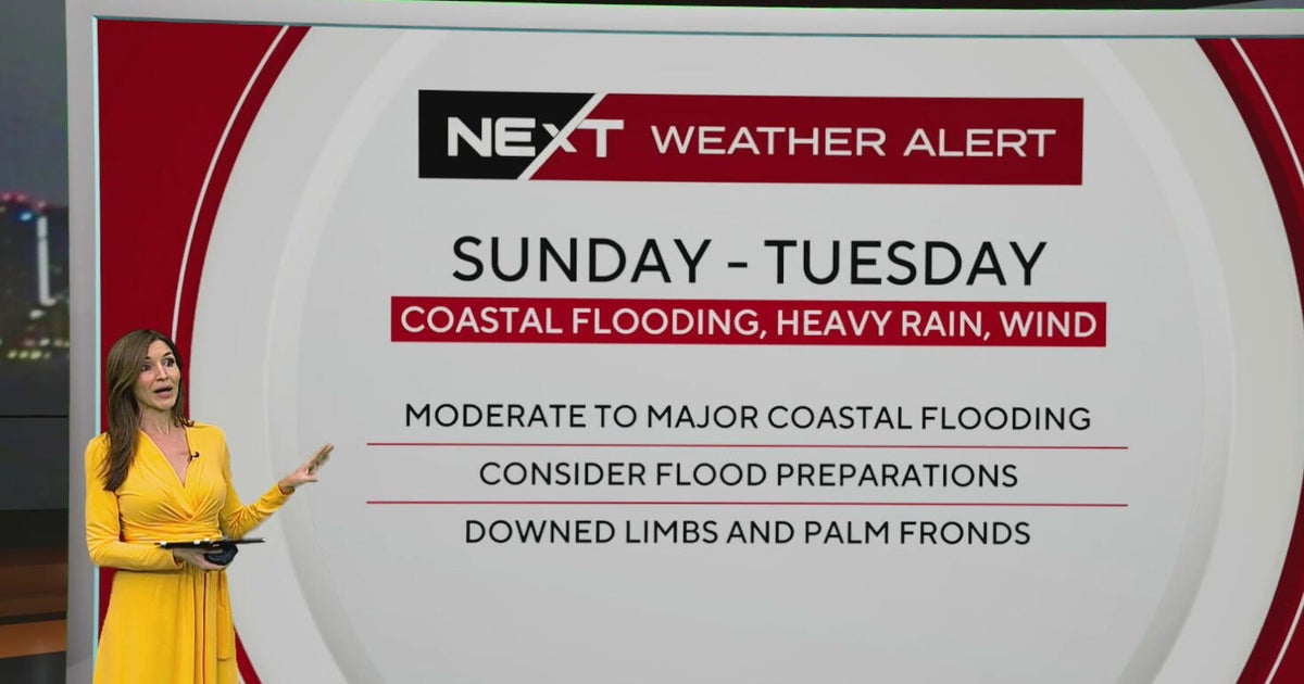 South Florida sees spotty showers ahead of weekend flooding, strong wind threats
October 22, 2026 / 7:30 AM EDT / CBS Miami South Florida will see warmer temperatures and spotty afternoon showers Thursday as the region prepares for a stretch of wet and windy weather that could bring heavy downpours…
-
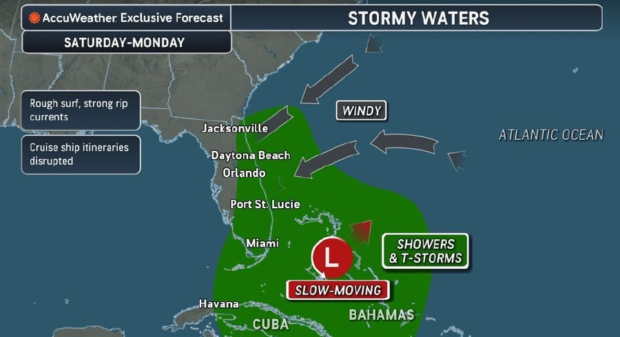 Rough Seas, Dangerous Rip Currents Threaten Florida Coast Ahead Of Possible Tropical Development
Persistent onshore winds and a slow-moving area of low pressure near the Bahamas are expected to bring hazardous surf, strong rip currents, and marine travel disruptions along Florida’s Atlantic coast starting this…
-
 Atlantic storms churn up dangerous, rough seas from Florida coast to Northeast
Subtropical Storm Josephine is expected to become a strong extratropical cyclone with hurricane-force winds as it churns in the mid-Atlantic off the U.S. East Coast, forecasters said. Josephine is bringing high winds…
-
 Another beautiful day Thursday before a big weather change arrives in Central Florida
ORLANDO, Fla. — Central Florida is in for another beautiful day, with cool temperatures to start the morning and warm, mostly sunny conditions expected this afternoon. However, changes are on the way as windy weather…
-
 Central Florida has low chances for rain and temperatures peaking at lower 80s
Thursday is dry with a low chance of showers along the Treasure Coast. Temperatures will peak around 81 degrees and skies will be sunny, according to NWS Melbourne. Winds are blowing north to northeast at 10-15 mph with…
- Subtropical Storm Josephine expected to strengthen. Any Florida impacts?
Subtropical Storm Josephine is expected to strengthen into a "powerful extratropical cyclone with hurricane-force winds by early Friday," Oct. 23. ➤ Spaghetti models for Subtropical Storm Josephine Forecasters have been…
-
 Sunshine, cooler temperatures continue Wednesday across Central Florida
ORLANDO, Fla. — Central Florida is enjoying another stretch of beautiful weather on Wednesday, with plenty of sunshine, cooler temperatures and dry conditions continuing across the region. Afternoon highs are expected…
-
 South Florida stays beautiful, breezy on Wednesday before heavy rain, king tides bring flood risk
The rest of Wednesday is expected to be beautiful, breezy and mainly dry. However, big changes are on the way that will be leading to a NEXT Weather Alert issues starting Sunday. CBS News Miami NEXT Weather…
-
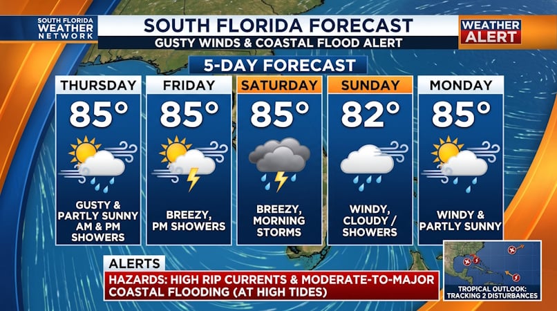 Gusty Winds, Coastal Flooding, and Dangerous Rip Currents Threaten South Florida into Early Next Week
Donna Thomas has studied hurricanes for two decades. She holds a PhD in history when her experience with Hurricane Andrew ultimately led her to earn a degree in broadcast meteorology from Mississippi State University…
Air quality
Acceptable. Unusually sensitive people should consider limiting prolonged outdoor exertion.
Forecast
- ThuModerate
- FriModerate
- SatModerate
Pensacola, FL reporting area · 1 hr ago. Data from AirNow (EPA and its state, local and tribal partners); preliminary and subject to change.
Sun & moon
Almanac
MonthlyPensacola Area, records since 1879. Normals 1991–2020. Data from NOAA's Regional Climate Centers (ACIS).
Nearby
- East Pensacola Heights 28 km
- Pensacola 31 km
- Navarre 34 km
- Ferry Pass 23 km
- Bellview 34 km
- Crestview 47 km
- Wright 45 km
- Fort Walton Beach 49 km
- Brent 28 km
- West Pensacola 34 km
- Ensley 26 km
- Pace 13 km
Forecasters' discussion
From the National Weather Service office in MOB, issued 5 hrs ago
Key Messages
Issued at 646 AM CDT Thu Oct 22 2026
- Moderate to strong northeast winds may create hazardous conditions for small craft over most of the marine area Friday night into Monday morning.
- A High Risk of rip currents is expected for beach areas from Saturday through Sunday night.
- Dry conditions continue through the forecast period.
Update
Issued at 646 AM CDT Thu Oct 22 2026
The current forecast is on track and no updates are needed. /13
Discussion
Issued at 1221 AM CDT Thu Oct 22 2026
Now through Saturday night, a mean upper trough remains located along the East Coast into the weekend, with an upper ridge stretching north along the Mississippi River. A nor'easter located off the Mid Atlantic region moves off, with additional shortwave energy moving into the mean trough. This energy organizes into a closed system off the Carolina coast, which then meanders south to over the southern tip of Florida by Saturday night. An associated surface low is slow to develop, eventually forming a weak low over the Caribbean. The pressure gradient along the East Coast to Gulf tightens as a surface high organizes over the Mid-Atlantic region, bringing increasing northeasterly flow over the Southeast and associated waters. A drier airmass over the forecast area and nearby for the weekend is maintained over the period. The forecast remains dry, but increasing northeasterly winds will may an increase in the risk of fire issues when combined with lower daytime relative humidities. The increasing northerly flow also brings a bit cooler airmass, with high temperatures falling closer to seasonal norms for the weekend. The ridge west of the forecast area will help to create a west to east gradient of temperatures, with higher temperatures over western portions of the forecast area, cooler east. Around 80 east to low 80s west fall into the mid 70s east/upper 70s west by Saturday. The dry airmass will help overnight radiational cooling, with low temperatures remaining below seasonal norms, especially well inland. Low temperatures ranging from the mid 40s north of Highway 84 to mid 50s along and south of the I-10 corridor expected.
Sunday through Wednesday sees a stream of shortwave energy moving through a mean upper trough over the western Conus and over the upper ridge, shifting the ridge south, and a weak shortwave trough passing over the Southeast Wednesday. With little to no moisture return over the Southeast as the surface high over the eastern Conus is maintained, a dry forecast continues. High temperatures see a rise to well above seasonal norms through the extended, and low temperatures remaining below seasonal norms.
Taking a look at the Rip Risk on area beaches, a Low Risk is maintained through the rest of the week. With the tightening pressure gradient over the Gulf, increasing northeast to easterly winds will bring increased swell to area beaches and a return of High Risk of Rip Currents this weekend into the coming week. /16
Aviation
(12Z TAFS) Issued at 646 AM CDT Thu Oct 22 2026
VFR conditions will prevail through the period. /13
Forecasts, observations and alerts in the United States come from the National Weather Service (NOAA); radar from NOAA's Multi-Radar Multi-Sensor system; satellite imagery from NASA's Global Imagery Browse Services (GIBS) and NOAA's GOES satellites; the map from the U.S. Geological Survey's National Map; air quality from AirNow (EPA and its partners); hurricane information from the National Hurricane Center; climate normals and records from NOAA's Regional Climate Centers (ACIS). Forecasts outside the United States and the UV index: MET Norway (CC BY 4.0); observations outside the U.S.: airport reports via NOAA's Aviation Weather Center. Place names: GeoNames (CC BY 4.0). Data are copied on a schedule and may lag the sources; for warnings that affect your safety, follow your local National Weather Service office and emergency officials. Weather news is drawn from the 4Conservative index and reflects what the press published. Terms of use.