Install
Pensacola, FL 32503 Weather
Current conditions
Observed at Pensacola - Pensacola International Airport · 19 min ago
Forecast
10-day-
Today
Sunny, with a high near 77. Northeast wind around 5 mph.
-
Tonight
Clear, with a low around 54. Northeast wind 0 to 5 mph.
-
Thursday
Sunny, with a high near 79. North wind 0 to 5 mph.
National Weather Service forecast updated 2 hrs ago.
Hourly
Hourly forecast- Now73°
- 1 PM75°
- 2 PM76°
- 3 PM76°
- 4 PM77°
- 5 PM75°
- 6 PM73°
- 7 PM70°
- 8 PM66°
- 9 PM64°
- 10 PM63°
- 11 PM61°
- Thu12 AM59°
- 1 AM59°
- 2 AM58°
- 3 AM56°
- 4 AM56°
- 5 AM55°
- 6 AM54°
- 7 AM54°
- 8 AM57°
- 9 AM62°
- 10 AM69°
- 11 AM72°
10-day forecast
Details- TodayOct 21Sunny54°77°
- ThuOct 22Sunny54°79°
- FriOct 23Sunny55°78°
- SatOct 24Sunny54°74°
- SunOct 25Sunny54°74°
- MonOct 26Sunny54°76°
- TueOct 27Sunny56°77°
- WedOct 28Mostly sunny61°78°
- ThuOct 29Sunny61°79°
- FriOct 30Partly cloudy62°80°
Days after the National Weather Service's seven are MET Norway's outlook, a computer model with no forecaster's review.
Radar
Full mapWeather news near Pensacola
More weather news-
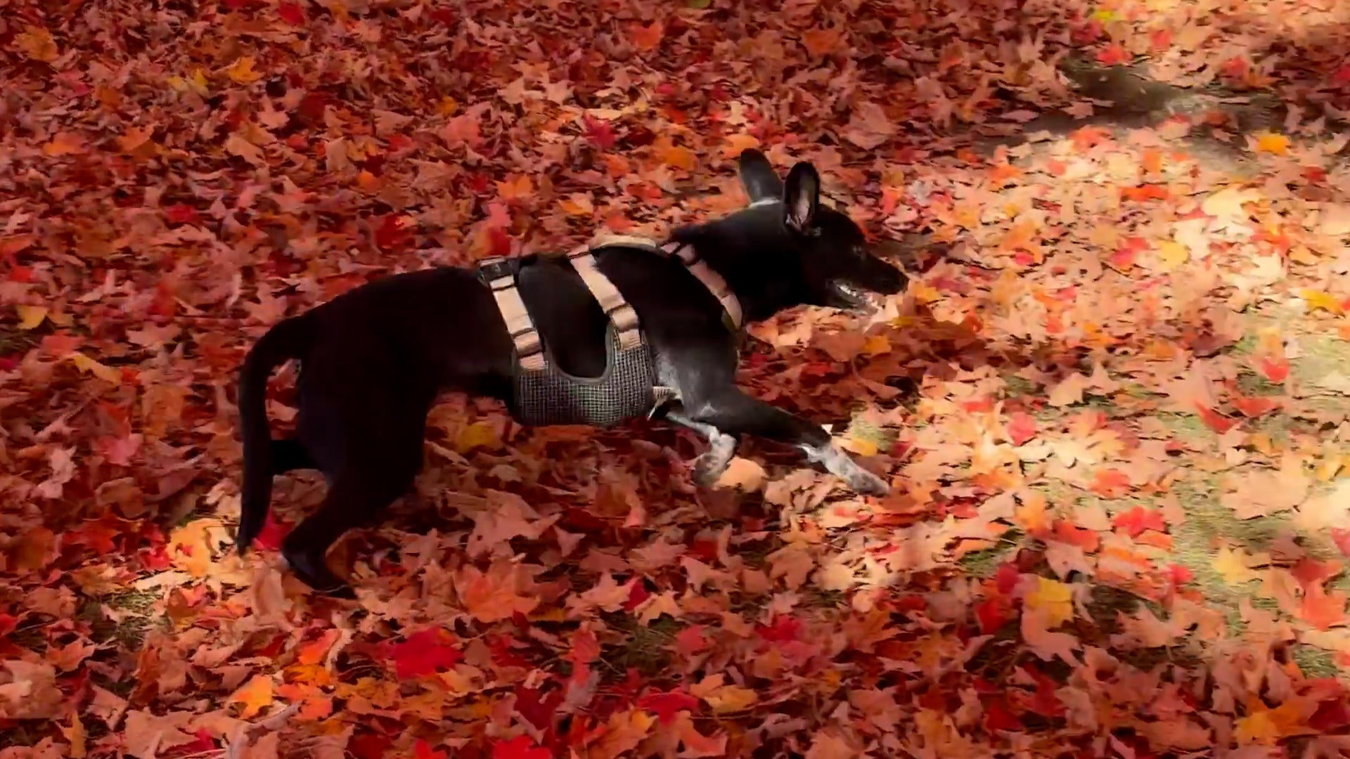 Dog gets the zoomies among peak New England foliage
Adorable dog gets the zoomies among colorful New England leaves The Weather Channel Adorable dog gets the zoomies among colorful New England leaves Adorable footage shows a dog bounding through piles of vibrant leaves…
-
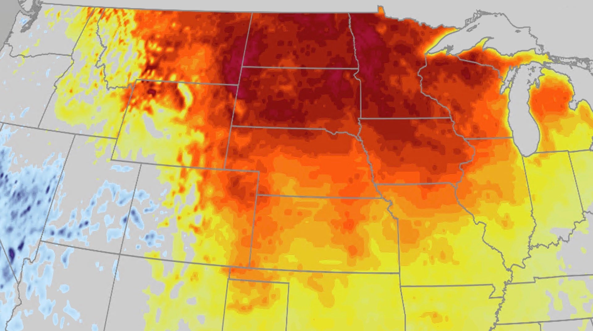 Warm fall temperatures build across Central US this week
The Weather Channel Pattern change brings back warm fall temperatures for Central US After a few days of chilly fall temperatures, a pattern change is bringing back the warm temperatures to the Central US. Heat will…
- Hurricane Zeta Arrives on the Gulf Coast – Dramatic Space Station Flyover Video
Science, Space and Technology News 2026 Hurricane Zeta Arrives on the Gulf Coast – Dramatic Space Station Flyover Video For the fifth time this year, a named tropical storm or hurricane is going to make landfall in…
-
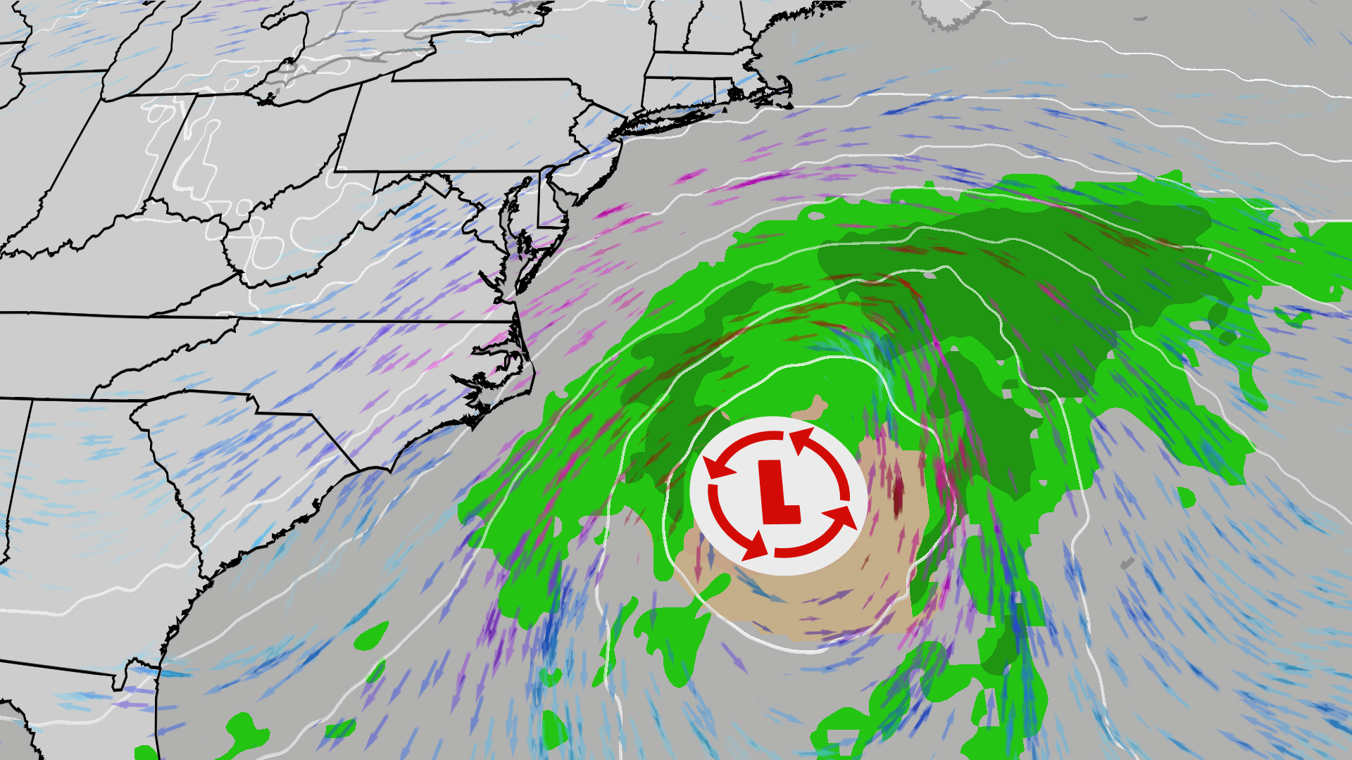 East Coast on alert; High surf, 50 mph gusts possible
The Weather Channel Nor’easter could bring beach erosion, gusty winds to East Coast An area off the East Coast is worth watching this weekend. Increased wave action and beach erosion are possible along areas already hit…
-
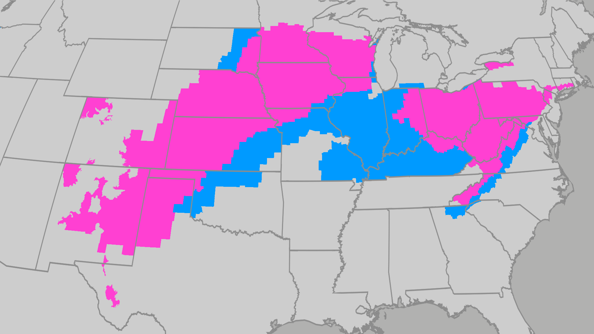 Over 80 million people under frost and freeze alerts
The Weather Channel Temps drop for millions across the Central Plains, Midwest, Northeast A powerful cold front has brought a major taste of fall to millions across the East. Many across the South and East will feel…
-
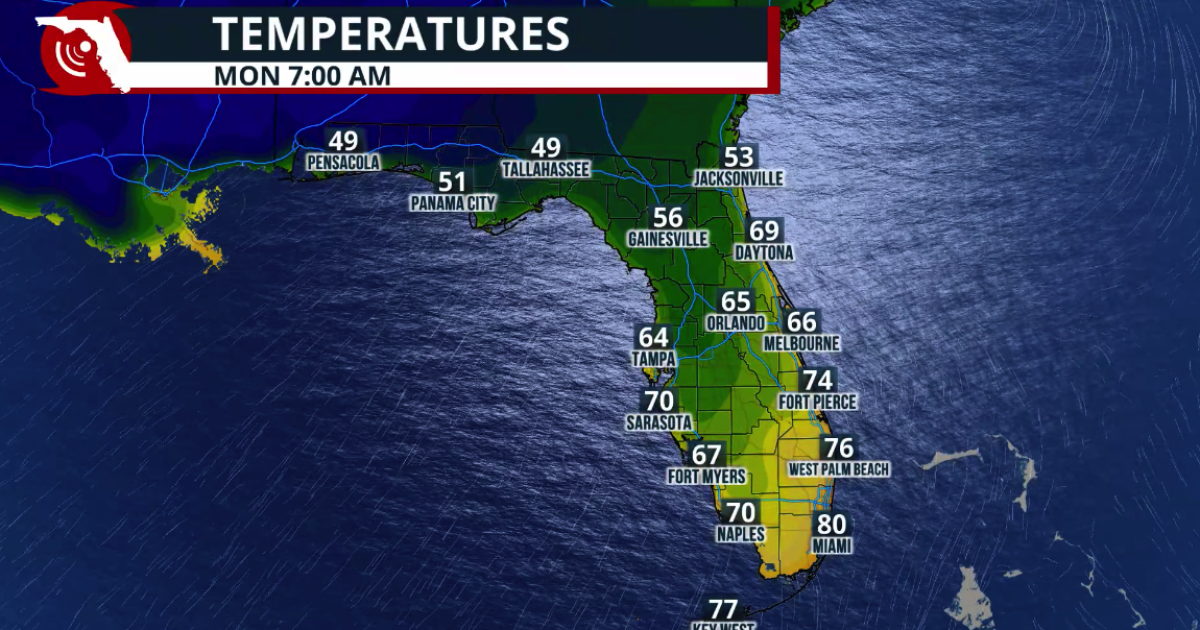 Fall arrives in Florida this weekend
www.fpren.org Update your Zip Code Fall arrives in Florida this weekend The cold front marks the leading edge of a cooler and drier air mass moving southward across the eastern United States. Behind the boundary, winds…
-
 Frost flowers: how to find ice ribbons on plants at dawn
The Weather Channel Look down this weekend: frost flowers could bloom at your feet A hard freeze after a warm week could grow frost flowers, thin curling ribbons of ice, on plant stems across the Ozarks and the Ohio and…
-
 The front is starting to arrive in the Houston area
Click2Houston The front is starting to arrive in the Houston area The wind will start to pick up soon. Are you prepared for some cooler air? Houston firefighters share heating and fire safety tips as temperatures begin…
-
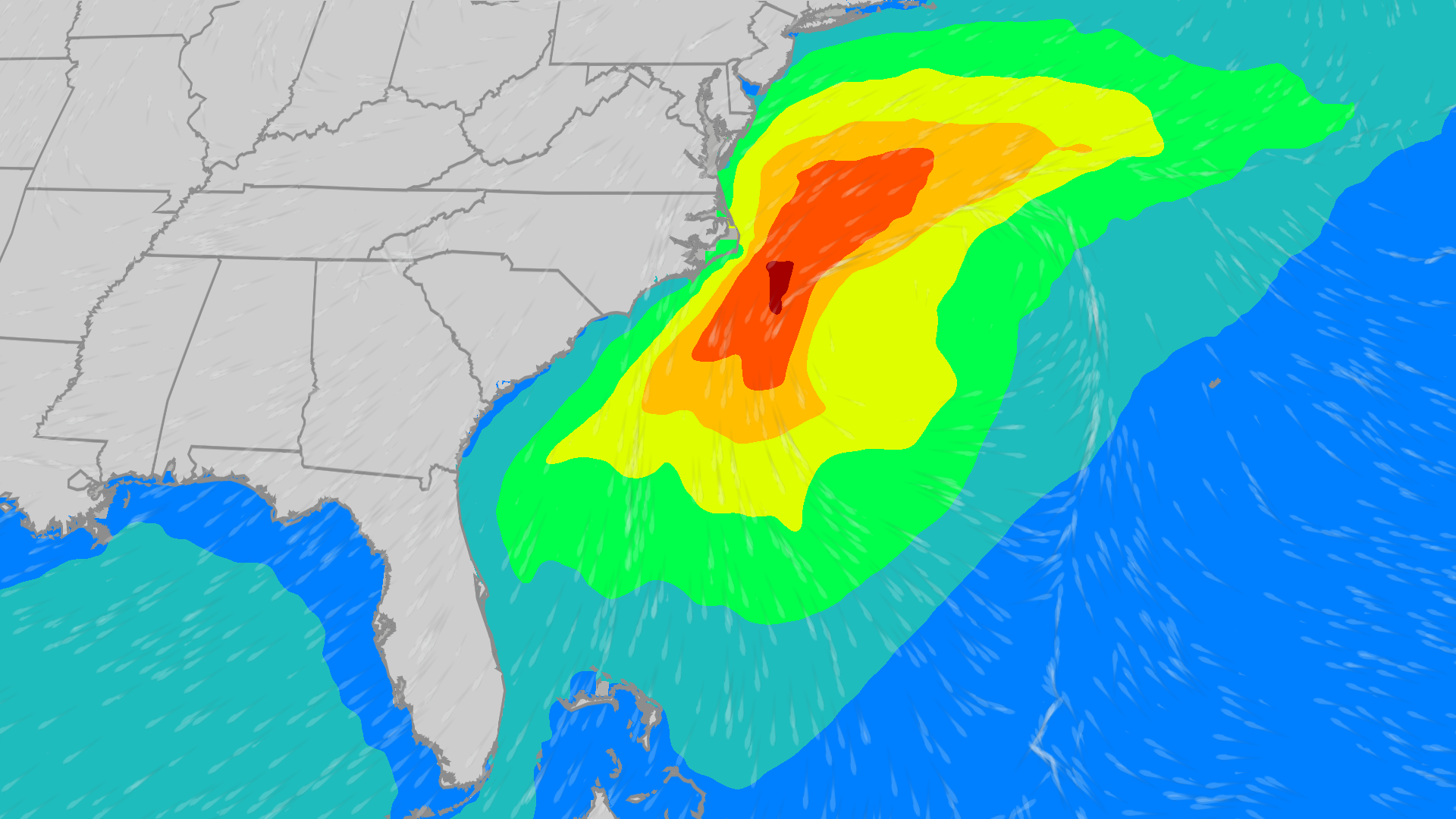 East Coast on alert: Coastal low to bring high wind, waves
The Weather Channel Coastal low could bring high wind, waves to East Coast Though the Atlantic tropics have been quiet since Isaias, there is an area worth watching off the East Coast that could bring wind and waves…
-
 Cold Front Is Here For A Cool Weekend
Click2Houston Cold Front Is Here For A Cool Weekend Flock cams: privacy vs safety Rare penny worth more than $200K on display in Houston Cold front coming: Enjoy the cool down and stay safe Cypress homeowner raises…
Air quality
Acceptable. Unusually sensitive people should consider limiting prolonged outdoor exertion.
Forecast
- WedModerate
- ThuModerate
- FriModerate
Pensacola, FL reporting area · 1 hr ago. Data from AirNow (EPA and its state, local and tribal partners); preliminary and subject to change.
Sun & moon
Almanac
MonthlyPensacola Area, records since 1879. Normals 1991–2020. Data from NOAA's Regional Climate Centers (ACIS).
Nearby
- East Pensacola Heights 4 km
- Navarre 34 km
- Ferry Pass 6 km
- Bellview 10 km
- Wright 55 km
- Fort Walton Beach 57 km
- Brent 3 km
- West Pensacola 7 km
- Ensley 9 km
- Pace 17 km
- Foley 46 km
- Midway 20 km
Forecasters' discussion
From the National Weather Service office in MOB, issued 1 hr ago
Key Messages
Issued at 1147 AM CDT Wed Oct 21 2026
- Moderate to strong northeast winds may create hazardous conditions for small craft over most of the marine area Friday night into Monday morning.
- A High Risk of rip currents is expected for beach areas from Friday night through Sunday night.
- Dry conditions continue through the forecast period.
Discussion
Issued at 1147 AM CDT Wed Oct 21 2026
A large upper ridge over the central CONUS slowly progresses into much of the eastern states through this weekend as a large eastern states upper trof mostly moves well off into the western Atlantic though leaves a weaker upper trof lingering just off the East Coast. The upper ridge dampens out Monday into Tuesday as an upper trof advances across the western half of the CONUS, possibly into the Plains. A surface ridge persists across much of the eastern states, and strengthens over the southeastern states Friday night into Saturday. Meanwhile on Friday night and Saturday, a surface low is anticipated to develop near/east of the Bahamas and track slowly northward, with the pressure gradient tightening over the forecast area between this system and the strengthening surface ridge. This results in moderate to strong winds developing over the marine area Friday night into Saturday night along with the rip current risk increasing to High and continuing through at least Sunday night, with a bit cooler air potentially flowing into the area as well. The pressure gradient looks to relax Monday into Tuesday which could lead to a decreasing rip current risk. Our dry weather continues on into next Wednesday as deep layer moisture remains limited. Highs on Thursday and Friday will be in the upper 70s to lower 80s, then highs on Saturday through Monday will be in the mid to upper 70s. Temperatures then trend a bit warmer going into next Wednesday by which time highs will be in the upper 70s to lower 80s. Lows each night will mostly range from the mid/upper 40s well inland to the lower or mid 50s at the coast. /29
Aviation
(18Z TAFS) Issued at 1147 AM CDT Wed Oct 21 2026
VFR conditions continue through Thursday morning. Northeasterly winds mostly around 5 knots this afternoon become calm or light and variable this evening, then return to around 5 knots Thursday morning. /29
Marine
Issued at 1143 PM CDT Tue Oct 20 2026
Light to moderate northeasterly winds will continue through Friday. Moderate to strong northeasterly to easterly winds develop Friday night and linger into the weekend. Wind gusts may approach gale force mainly well offshore Saturday night and Sunday. A Small Craft Advisory will likely become necessary for much of the marine area starting Friday and running until ending at some point on Monday. /16
Forecasts, observations and alerts in the United States come from the National Weather Service (NOAA); radar from NOAA's Multi-Radar Multi-Sensor system; satellite imagery from NASA's Global Imagery Browse Services (GIBS) and NOAA's GOES satellites; the map from the U.S. Geological Survey's National Map; air quality from AirNow (EPA and its partners); hurricane information from the National Hurricane Center; climate normals and records from NOAA's Regional Climate Centers (ACIS). Forecasts outside the United States and the UV index: MET Norway (CC BY 4.0); observations outside the U.S.: airport reports via NOAA's Aviation Weather Center. Place names: GeoNames (CC BY 4.0). Data are copied on a schedule and may lag the sources; for warnings that affect your safety, follow your local National Weather Service office and emergency officials. Weather news is drawn from the 4Conservative index and reflects what the press published. Terms of use.