Install
Wilmington, NC 28405 Weather
Current conditions
Observed at Wilmington International Airport · 25 min ago
Forecast
10-day-
Tonight
Clear, with a low around 49. North wind around 7 mph.
-
Wednesday
Sunny, with a high near 73. North wind 7 to 12 mph, with gusts as high as 17 mph.
-
Wednesday Night
Clear, with a low around 46. North wind 3 to 7 mph.
National Weather Service forecast updated 4 hrs ago.
Hourly
Hourly forecast- Now56°
- 1 AM54°
- 2 AM53°
- 3 AM52°
- 4 AM51°
- 5 AM50°
- 6 AM50°
- 7 AM49°
- 8 AM50°
- 9 AM54°
- 10 AM59°
- 11 AM63°
- 12 PM66°
- 1 PM69°
- 2 PM71°
- 3 PM71°
- 4 PM71°
- 5 PM70°
- 6 PM66°
- 7 PM62°
- 8 PM59°
- 9 PM58°
- 10 PM56°
- 11 PM55°
10-day forecast
Details- TonightOct 20Clear49°
- TodayOct 21Sunny46°73°
- ThuOct 22Sunny48°70°
- FriOct 23Sunny50°70°
- SatOct 24Sunny53°70°
- SunOct 25Sunny54°72°
- MonOct 26Sunny53°75°
- TueOct 27Sunny75°
- WedOct 28Cloudy0.02 in51°74°
- ThuOct 29Mostly sunny53°71°
Days after the National Weather Service's seven are MET Norway's outlook, a computer model with no forecaster's review.
Radar
Full mapWeather news near Wilmington
More weather news- UPDATE: Coastal New Hanover placed under a high surf advisory until Tuesday morning
Charlotte Observer The creation of this content included the use of AI based on templates created, reviewed and edited by journalists in the newsroom. Read more on our AI policy here. On Tuesday at 2:14 a.m. an updated…
- Cold front off NC coast watched for possible tropical development
The low-pressure cold front that has brought chilly, blustery weather and dangerous conditions to the North Carolina coast this weekend could develop into a subtropical weather system later this week. The next name on…
-
 Storm Warnings Issued Off the North and South Carolina Coast as Conditions Intensify
Storm Warnings are in effect for offshore waters from Oregon Inlet, North Carolina, to Little River Inlet, South Carolina, with north winds of 35 to 40 knots, gusts to 50 knots and seas up to 18 feet. A nor’easter is…
-
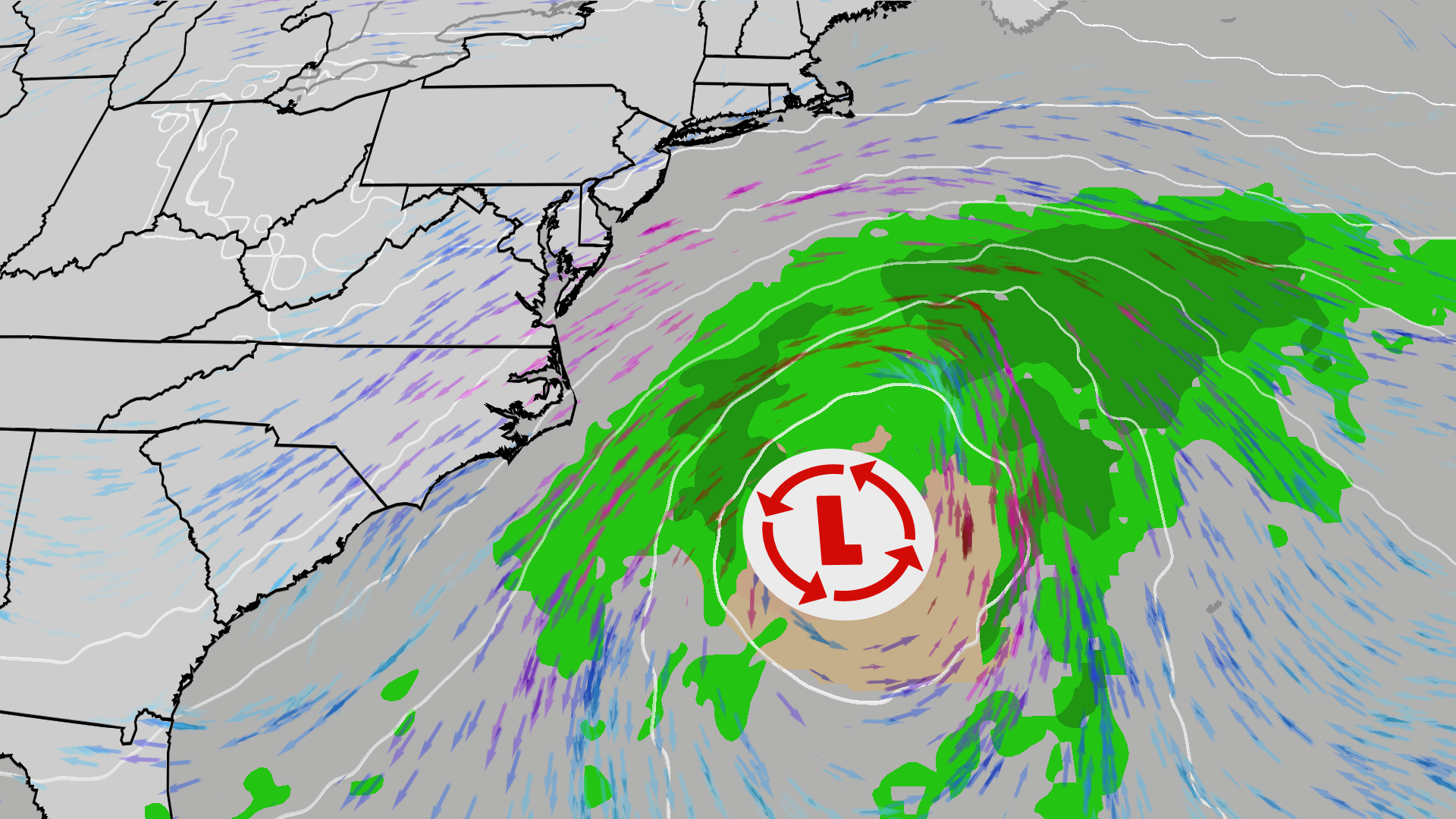 East Coast on alert; High surf, 50 mph gusts possible
The Weather Channel Nor’easter could bring beach erosion, gusty winds to East Coast An area off the East Coast is worth watching this weekend. Increased wave action and beach erosion are possible along areas already hit…
-
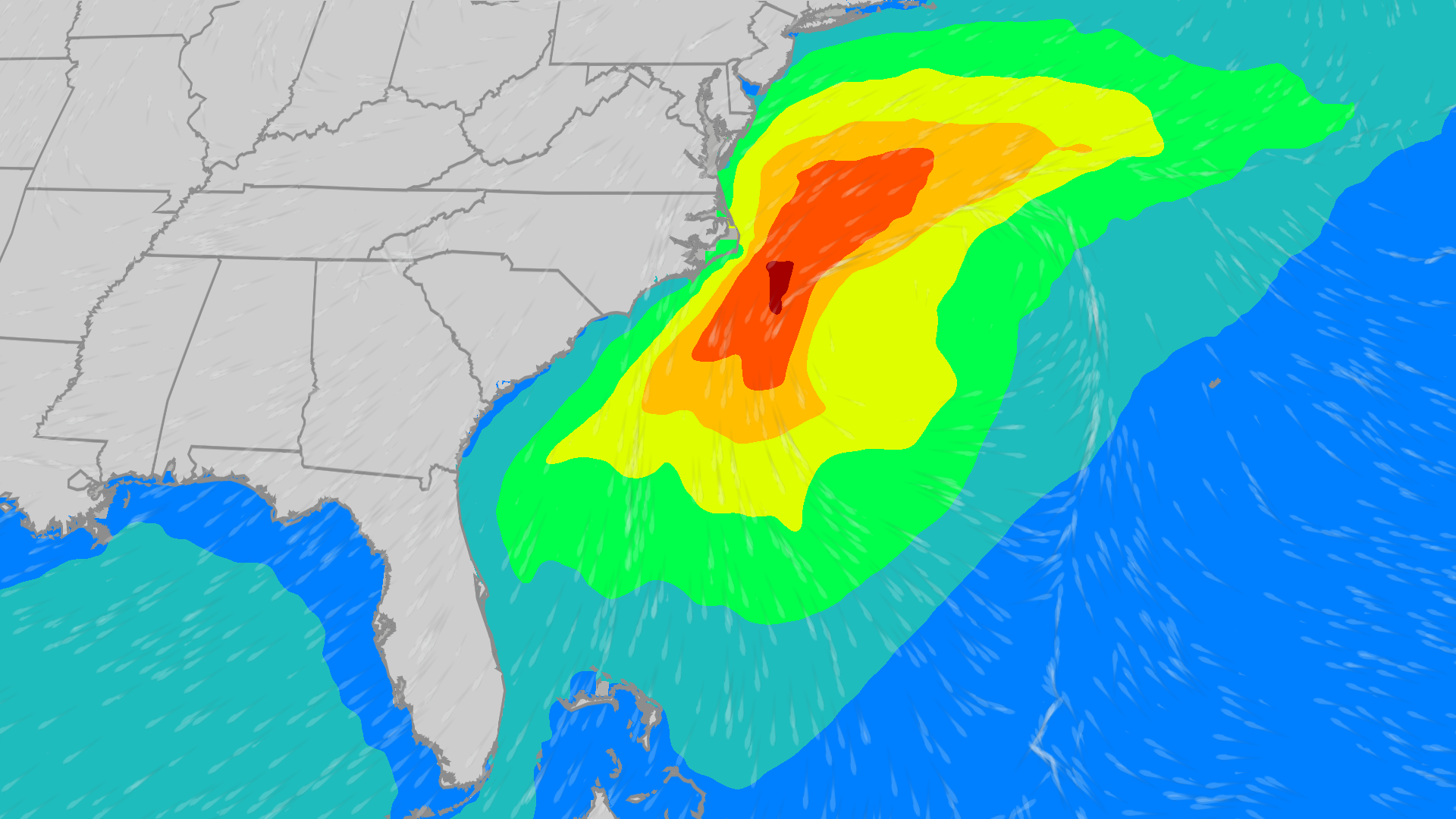 East Coast on alert: Coastal low to bring high wind, waves
The Weather Channel Coastal low could bring high wind, waves to East Coast Though the Atlantic tropics have been quiet since Isaias, there is an area worth watching off the East Coast that could bring wind and waves…
-
 Hurricane Isaias Brings Tornadoes, Rain to the Carolinas
“We saw several tornado warnings active on Sunday afternoon in the Wake County area. The National Weather Service has confirmed two tornadoes of EF1 strength in Wake County. Several others were not far away, including…
-
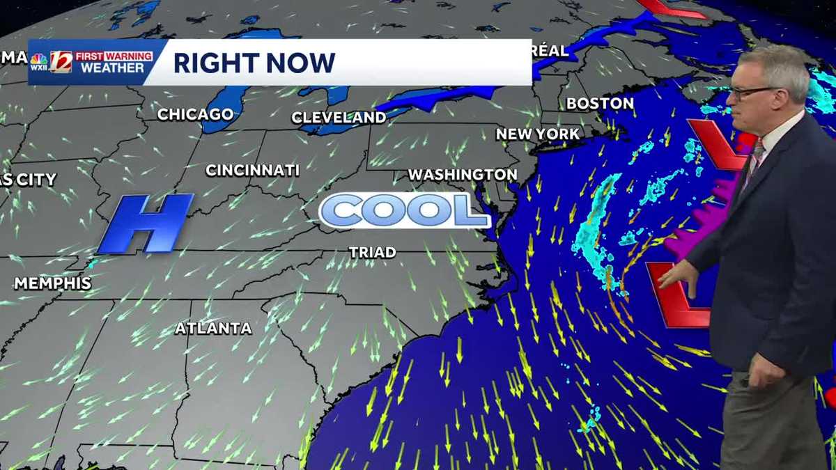 Sunny and seasonably cool weather across North Carolina this week
WXII Cold mornings will lead to seasonable, sunny afternoons in North Carolina this week Dress for 30s and 40s in the mornings Sunny weather will warm temperatures into the 60s and 70s in the afternoons Dry weather will…
-
-
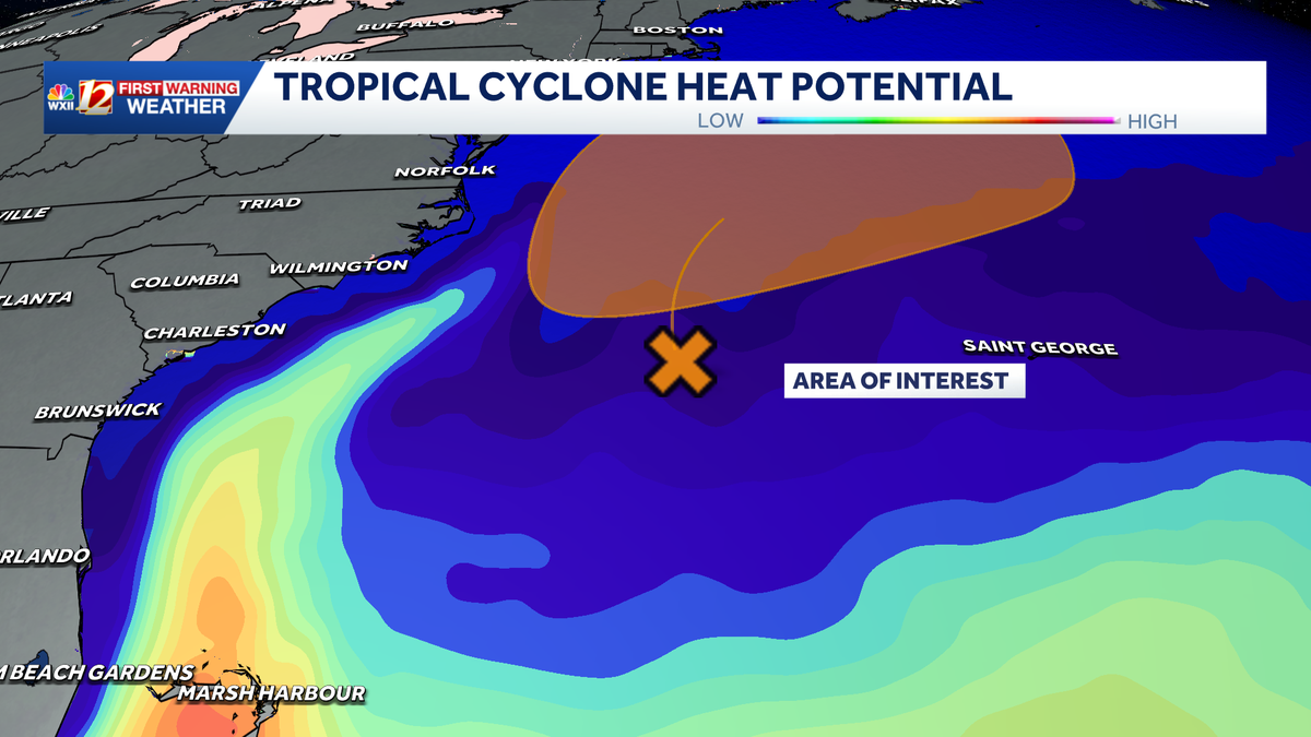
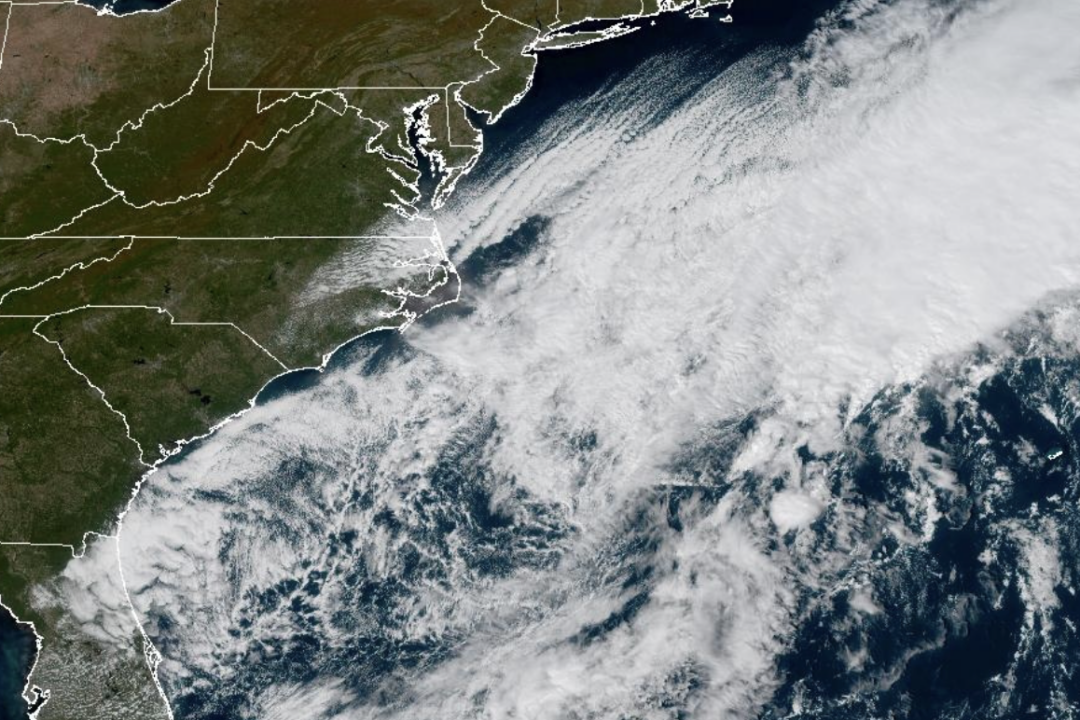 Weather System Off North Carolina Could Become Nor’Easter or Tropical Storm: What to Know
The National Weather Service and its National Hurricane Center are tracking a storm system sitting off the coast of North Carolina that has the opportunity to become either a proper Nor’easter or a Tropical Storm and is…
-
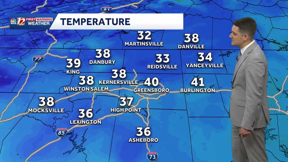 Cold Sunday morning in North Carolina, beautiful fall weather this week
WXII Cold Sunday morning in North Carolina, beautiful fall weather this week Meteorologist Dylan Hudler has your Sunday forecast Brrrr! Cold fall air is here! Sunday morning is the first time in the 30s for many…
Air quality
Air quality is satisfactory, and air pollution poses little or no risk.
Forecast
- WedGood (40)
- ThuGood (40)
- FriGood (40)
New Hanover County, NC reporting area · 1 hr ago. Data from AirNow (EPA and its state, local and tribal partners); preliminary and subject to change.
Sun & moon
Almanac
MonthlyWilmington Area, records since 1874. Normals 1991–2020. Data from NOAA's Regional Climate Centers (ACIS).
Nearby
- Leland 16 km
- Masonboro 10 km
- Murraysville 4 km
- Myrtle Grove 15 km
- Kings Grant 0 km
- Oak Island 47 km
- Ogden 5 km
- Carolina Beach 26 km
- Boiling Spring Lakes 32 km
- Long Beach 46 km
- Silver Lake 14 km
- Wrightsboro 6 km
Forecasters' discussion
From the National Weather Service office in ILM, issued 4 hrs ago
What Has Changed
Rip Current headlines for the Surf Forecast have been updated.
Key Messages
1) A deep layer of northerly winds will maintain a dry Canadian airmass through the remainder of the week.
Discussion
KEY MESSAGE 1...A deep layer of northerly winds will maintain a dry Canadian airmass through the remainder of the week.
Persistent northerly flow continues over the Carolinas between a ridge over the southern Plains and a nearly stationary low east of the northern Outer Banks. This low is expected to continue meandering while drifting northward off the mid- Atlantic coast through Thursday before being shunted away to the northeast. With high pressure in control of the weather locally, dry weather, clear skies, and generally below normal temperatures are forecast through the end of the week.
New Canadian high pressure will expand south across the Great Lakes late this week. As the high moves south this weekend, our wind directions may veer easterly enough to bring more humidity onshore, but with sufficient ridging continuing aloft to maintain dry weather.
Aviation
VFR with northerly winds continuing through the valid TAF period. Gusts return mid to late morning Wednesday, although weaker than on Tuesday.
Extended Outlook...VFR will continue through the period. Breezy northeasterly winds could gust to 25 knots at times Friday and Saturday.
Forecasts, observations and alerts in the United States come from the National Weather Service (NOAA); radar from NOAA's Multi-Radar Multi-Sensor system; satellite imagery from NASA's Global Imagery Browse Services (GIBS) and NOAA's GOES satellites; the map from the U.S. Geological Survey's National Map; air quality from AirNow (EPA and its partners); hurricane information from the National Hurricane Center; climate normals and records from NOAA's Regional Climate Centers (ACIS). Forecasts outside the United States and the UV index: MET Norway (CC BY 4.0); observations outside the U.S.: airport reports via NOAA's Aviation Weather Center. Place names: GeoNames (CC BY 4.0). Data are copied on a schedule and may lag the sources; for warnings that affect your safety, follow your local National Weather Service office and emergency officials. Weather news is drawn from the 4Conservative index and reflects what the press published. Terms of use.