Install
Carolina Beach, NC Weather
Current conditions
Forecast for this hour (no station report in the last two hours)
Forecast
10-day-
Saturday
Mostly sunny, with a high near 71. Northeast wind around 21 mph, with gusts as high as 29 mph.
-
Saturday Night
Mostly clear, with a low around 57. Northeast wind 16 to 20 mph, with gusts as high as 26 mph.
-
Sunday
Sunny, with a high near 72.
National Weather Service forecast updated 1 day ago.
Hourly
Hourly forecast- Now69°
- 6 PM67°
- 7 PM65°
- 8 PM63°
- 9 PM61°
- 10 PM60°
- 11 PM59°
- Sun12 AM58°
- 1 AM58°
- 2 AM57°
- 3 AM57°
- 4 AM57°
- 5 AM57°
- 6 AM57°
- 7 AM57°
- 8 AM58°
- 9 AM61°
- 10 AM64°
- 11 AM68°
- 12 PM69°
- 1 PM71°
- 2 PM71°
- 3 PM71°
- 4 PM71°
10-day forecast
Details- TonightOct 22Clear50°
- FriOct 23Sunny54°69°
- TodayOct 24Mostly Sunny57°71°
- SunOct 25Sunny56°72°
- MonOct 26Sunny52°71°
- TueOct 27Sunny56°71°
- WedOct 28Mostly Sunny15%59°71°
- ThuOct 29Slight Chance Rain Showers16%72°
- FriOct 30Rain0.18 in64°71°
- SatOct 31Cloudy65°73°
Days after the National Weather Service's seven are MET Norway's outlook, a computer model with no forecaster's review.
Radar
Full mapWeather news near Carolina Beach
More weather news-
 FIRST ALERT: Coastal storm could become tropical throughout the week
MYRTLE BEACH, SC (WMBF) - A coastal storm is settled in just off the North Carolina coastline, bringing dangerous conditions to the beaches. This Nor’easter has the potential at becoming tropical by the end of the week…
-
 Brewing nor’easter threatens East Coast with days of coastal flooding, strong winds and pounding surf
🌧️ ⚠️ NEXT NOR'EASTER: FOX Weather Meteorologist Michael Estime shares an update on the next Nor'easter expected to hit the East Coast, bringing the threat of heavy rain, winds, rough waves and coastal flooding this…
-
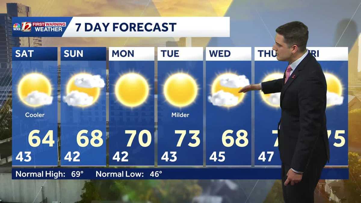 Slightly cooler fall weather this weekend, sunny and dry stretch continues in North Carolina
Meteorologist Dylan Hudler has your Saturday forecast Slightly cooler fall weather this weekend, sunny and dry stretch continues in North Carolina Meteorologist Dylan Hudler has your Saturday forecast This weekend is a…
-
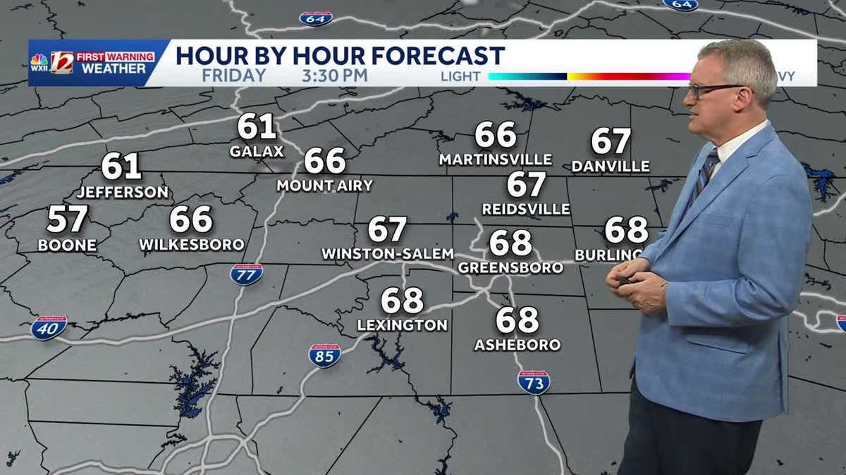 North Carolina temperatures dip a bit this weekend and it's dry, dry, dry...
Chilly North Carolina mornings will be followed by cool afternoon sunshine this weekend It's layering weather! You'll need a jacket early in the morning to combat the chill It will feel more pleasant by late morning…
-
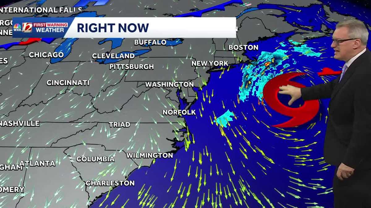 Sunny and dry Piedmont Triad weather Thursday | North Carolina temperatures this weekend
North Carolina will experience pleasant fall weather for most of the week. The beaches will remain windy, with large waves and concerns about coastal flooding. It's layering weather! You'll need a jacket early in the…
-
 Nor'easter destroys sand barrier as it pummels North Carolina
The Weather Network
-
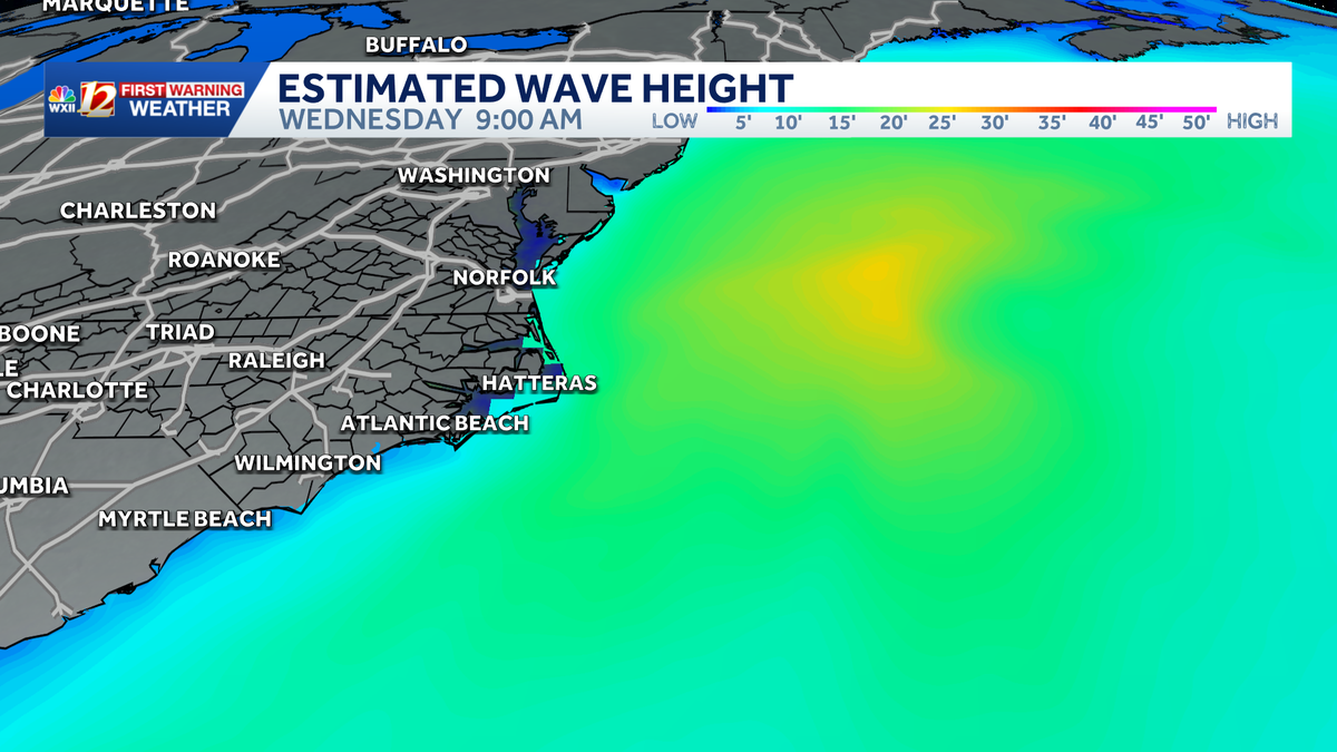 Slow-moving storm near North Carolina coast could gain tropical characteristics this week | Dangerous surf, flood threat for the Outer Banks
Coastal storm may become subtropical this week. Beach erosion, flooding is making travel difficult and the Outer Banks. A nor'easter is taking shape along the same powerful cold front that brought cooler temperatures to…
-
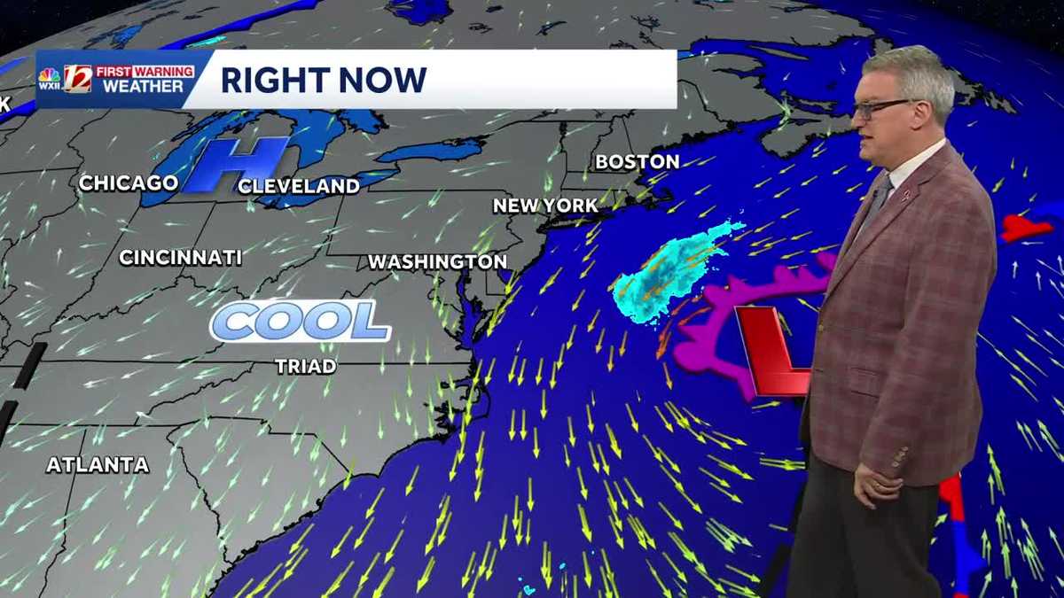 Beautiful North Carolina weather continues this week | Triad temperatures fall again this weekend
Cool Piedmont Triad mornings this week, sunny & pleasant afternoons WXII Despite the chilly start, afternoon temperatures were warmer than average on Tuesday afternoon The high temperature at Piedmont Triad…
-
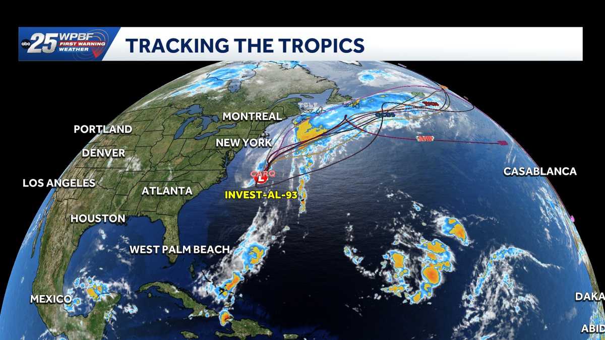 Low pressure off North Carolina could briefly turn subtropical while sending rough surf up the East Coast
A storm-force non-tropical low-pressure system located a few hundred miles off the North Carolina coast is producing shower and thunderstorm activity primarily west of its center. According to the National Hurricane…
-
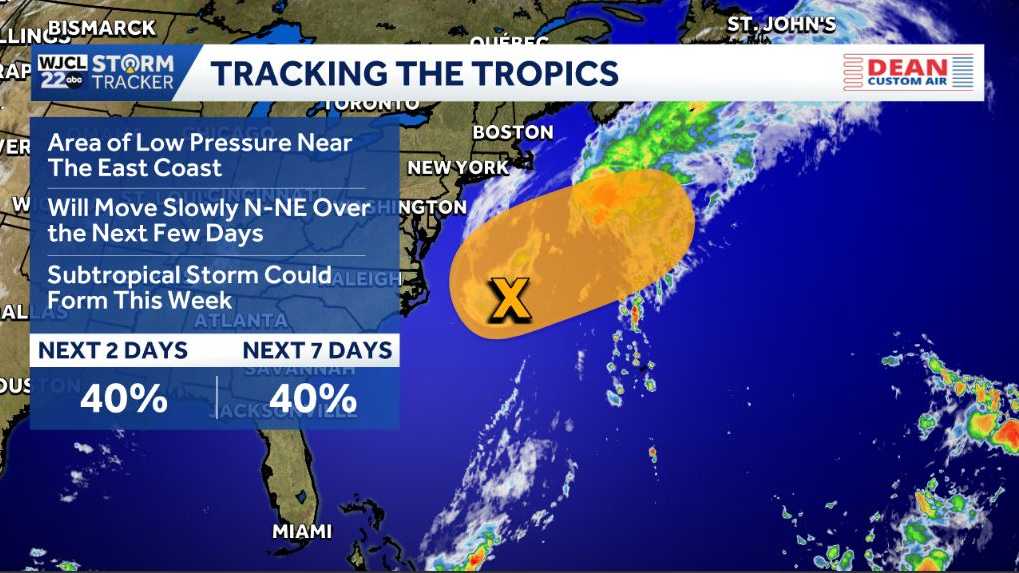 Possible tropical development near North Carolina could bring dangerous surf to the East Coast
Tracking a chance for development in the Atlantic An area of low pressure is a few hundred miles east of North Carolina. It’s along a frontal boundary that’s producing a large area of showers. It will have a chance to…
Air quality
Air quality is satisfactory, and air pollution poses little or no risk.
Forecast
- SatGood (38)
- SunGood (32)
- MonGood (40)
New Hanover County, NC reporting area · 1 hr ago. Data from AirNow (EPA and its state, local and tribal partners); preliminary and subject to change.
Sun & moon
Almanac
MonthlyWilmington Area, records since 1874. Normals 1991–2020. Data from NOAA's Regional Climate Centers (ACIS).
Nearby
- Wilmington 23 km
- Leland 28 km
- Masonboro 17 km
- Murraysville 29 km
- Myrtle Grove 11 km
- Kings Grant 25 km
- Oak Island 28 km
- Ogden 27 km
- Boiling Spring Lakes 16 km
- Long Beach 25 km
- Silver Lake 13 km
- Wrightsboro 28 km
Forecasters' discussion
From the National Weather Service office in ILM, issued 10 hrs ago
What Has Changed
As of 630 AM EDT... Aviation section updated for the 12Z TAF issuance.
As of 3 AM EDT... All sections have been updated except for the Key Messages. The Coastal Flood Advisory was extended through this evening's high tide for all tidal areas. A High Surf Advisory was issued for New Hanover County.
Key Messages
1) High pressure will bring lots of dry weather, breezy conditions at times, and seasonable temperatures through mid next week.
2) Minor coastal flooding and hazardous marine/surf conditions are expected through at least early next week.
Discussion
KEY MESSAGE 1...High pressure will bring lots of dry weather, coastal breezes, and near to below normal temperatures through mid next week.
Persistent high pressure will dominate the weather through mid next week leading to dry conditions and generally near to below normal temperatures. A few showers could brush the coast at times but no significant rainfall is expected. Breezy conditions with gusts up to around 35 mph at times are also expected, especially near the coast, due to low pressure well to the southeast from near The Bahamas northeast to Bermuda.
KEY MESSAGE 2...Minor coastal flooding and hazardous marine/surf conditions are expected through at least early next week.
An extended period of enhanced northeast winds due to strong high pressure to the north and low pressure developing near The Bahamas will lead to hazardous marine/surf conditions. Also, increasing astronomical tides and NE winds will lead to minor coastal flooding.
Coastal Flooding: Minor coastal flooding is expected during each high tide cycle for the next several days along the SE NC and NE SC coasts, including the lower Cape Fear River. The highest tides should occur during the morning high tide cycles.
High Surf: High seas up to near 10 ft within 20 nm will likely lead to 6+ ft surf heights into early next week, especially for E-facing beaches. We have raised a High Surf Advisory for New Hanover County where confidence is highest in 6 ft breakers occurring starting today. In addition, the large waves coupled with high water levels should result in some erosion, especially for E-facing beaches.
Aviation
High confidence in VFR conditions as high pressure prevails. NE winds will prevail, gusting to near 20-25 kt during the daytime.
Extended Outlook... VFR to prevail with NE winds gusting to around 25 knots at times Sunday. There is a small chance of low clouds affecting the coastal terminals due to low-level clouds off the coast. High pressure brings dry weather and clear skies early next week.
Forecasts, observations and alerts in the United States come from the National Weather Service (NOAA); radar from NOAA's Multi-Radar Multi-Sensor system; satellite imagery from NASA's Global Imagery Browse Services (GIBS) and NOAA's GOES satellites; the map from the U.S. Geological Survey's National Map; air quality from AirNow (EPA and its partners); hurricane information from the National Hurricane Center; climate normals and records from NOAA's Regional Climate Centers (ACIS). Forecasts outside the United States and the UV index: MET Norway (CC BY 4.0); observations outside the U.S.: airport reports via NOAA's Aviation Weather Center. Place names: GeoNames (CC BY 4.0). Data are copied on a schedule and may lag the sources; for warnings that affect your safety, follow your local National Weather Service office and emergency officials. Weather news is drawn from the 4Conservative index and reflects what the press published. Terms of use.