Install
Coal Fork, WV Weather
Current conditions
Observed at Charleston, Yeager Airport · 1 hr ago
Forecast
10-day-
Friday
Sunny, with a high near 68.
-
Friday Night
Clear, with a low around 42.
-
Saturday
Sunny, with a high near 68.
National Weather Service forecast updated 2 days ago.
Hourly
Hourly forecast- Now41°
- 8 AM41°
- 9 AM44°
- 10 AM50°
- 11 AM55°
- 12 PM59°
- 1 PM62°
- 2 PM64°
- 3 PM66°
- 4 PM65°
- 5 PM62°
- 6 PM59°
- 7 PM55°
- 8 PM50°
- 9 PM49°
- 10 PM48°
- 11 PM47°
- Sat12 AM46°
- 1 AM46°
- 2 AM45°
- 3 AM45°
- 4 AM44°
- 5 AM44°
- 6 AM43°
10-day forecast
Details- TueOct 20Areas Of Fog then Sunny38°70°
- WedOct 21Areas Of Fog then Sunny37°70°
- ThuOct 22Patchy Fog then Sunny41°68°
- TodayOct 23Sunny42°68°
- SatOct 24Sunny41°68°
- SunOct 25Sunny46°71°
- MonOct 26Mostly Sunny47°71°
- TueOct 27Cloudy50°68°
- WedOct 28Cloudy48°66°
- ThuOct 29Mostly sunny49°68°
Days after the National Weather Service's seven are MET Norway's outlook, a computer model with no forecaster's review.
Radar
Full mapWeather news in West Virginia
More weather news-
 Freeze expected tonight in six West Virginia counties before mild, dry week
CHARLESTON, W.Va. — One more frosty night is in store for parts of West Virginia before a mild, dry stretch settles in for the week ahead. The MetroNews forecast calls for a freeze tonight into early Monday in…
- A Long Stretch of Dry and Sunny Weather in West Virginia
WDTV 5 BRIDGEPORT, W.Va (WDTV) - Weather Overview: A Stretch of Sunny Days and Chilly Nights The next 10 days look mainly dry and sunny here in North Central West Virginia (NCWV). For each afternoon, temperatures reach…
-
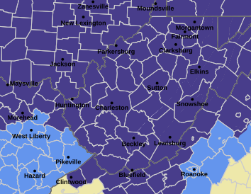 West Virginia under freeze warning for tonight
CHARLESTON, W.Va. — The National Weather has issued a freeze warning for the entire state for overnight Saturday into Sunday. The warning is posted for 1 a.m. to 9 a.m. Sunday. Meteorologists said sub-freezing…
-
 Dangerous Freeze Watch Issued for Maryland, DC, West Virginia and New Jersey as Temperatures Plummet
Freeze Watches are in effect from late Saturday night through Sunday morning across western Maryland, West Virginia and northern New Jersey, with lows in the upper 20s to low 30s possible. A strong cold front moves…
-
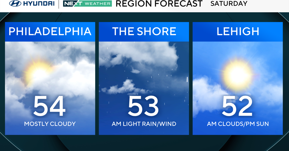 Sunny Friday in Philadelphia region ahead of weekend chill. Here's the weather forecast.
Updated on: October 23, 2026 / 6:16 AM EDT / CBS Philadelphia Our fabulous fall forecast continues! We're looking at another sunny day with highs in the lower 60s around Philadelphia. It's a little cooler than…
-
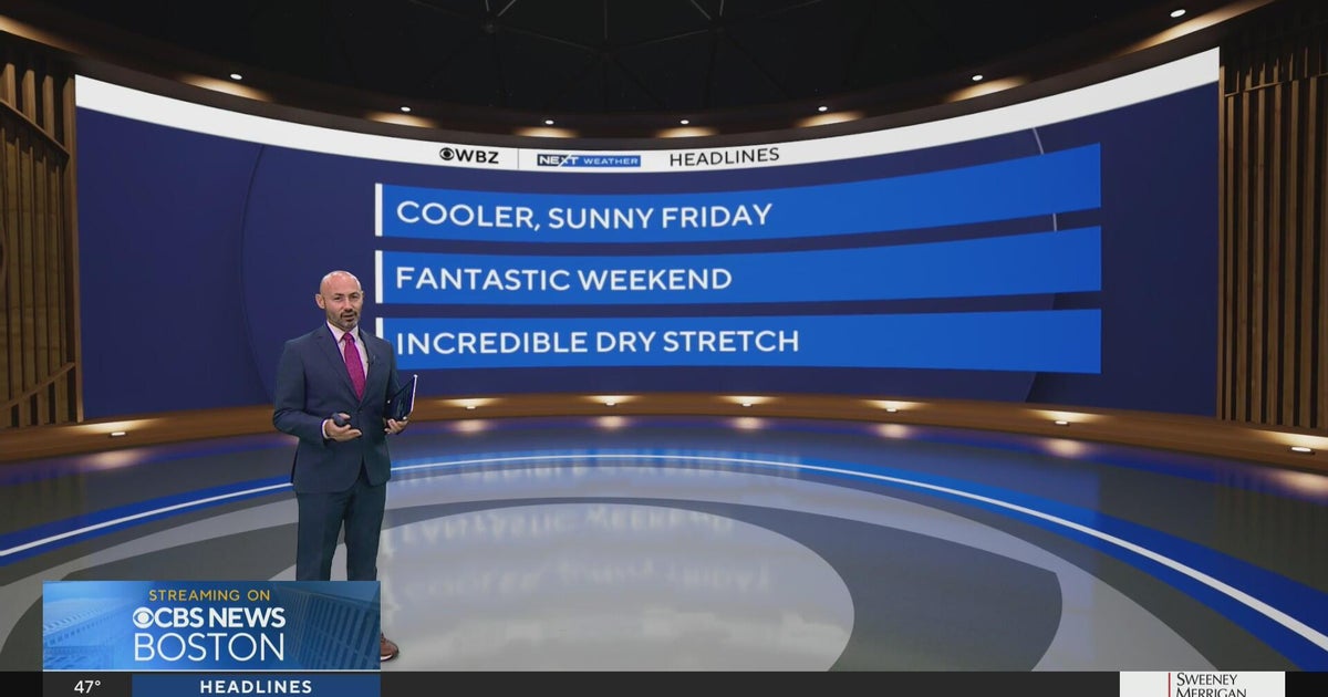 Next Weather: WBZ morning forecast for Oct. 23, 2026
WBZ This Morning 5am CBS News Detroit 5am CBS News Miami 5am CBS News Philadelphia 5am KDKA-TV Morning News 5am
-
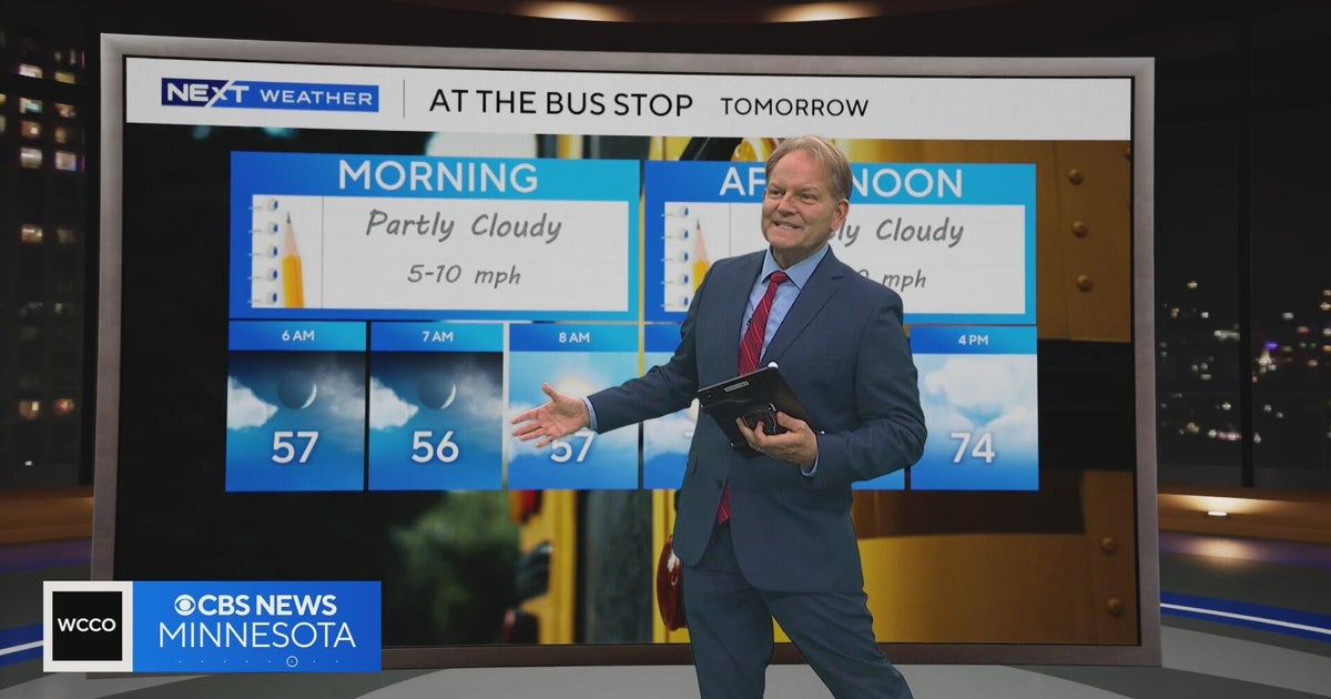 Minnesota sees chances for rain and more seasonable temps soon | Next Weather 10 p.m. Oct. 22, 2026
CBS News Minnesota is a local news organization that is part of CBS News and Stations. Also referred to as WCCO-TV and channel 4, CBS News Minnesota offers local breaking news, weather coverage and investigative…
-
 Slaughden Quay
Tides for Slaughden Quay, East of England - BBC Weather BBC Right now, the tide in Slaughden Quay is Tide tables for the next 7 days For more information, please see FAQs. © Crown copyright and database right
-
 Cold Halloween night expected in New Hampshire. See full holiday forecast
AccuWeather just released its Halloween weekend forecast, predicting "a spooky mix of chilly temperatures, gusty winds, rain and even mountain snow" across the country. While the weather service predicts New England…
-
 Pensacola's Halloween weather forecast calls for warm, dry night
Pensacola's weather forecast for Halloween night is expected to be fairly normal, if not slightly warmer than usual, according to the latest forecasts. Halloween temperatures in the Florida Panhandle usually jump…
Air quality
Air quality is satisfactory, and air pollution poses little or no risk.
Charleston, WV reporting area · 1 hr ago. Data from AirNow (EPA and its state, local and tribal partners); preliminary and subject to change.
Sun & moon
Almanac
MonthlyCharleston Area, records since 1892. Normals 1991–2020. Data from NOAA's Regional Climate Centers (ACIS).
Nearby
- Charleston 10 km
- Teays Valley 39 km
- South Charleston 17 km
- Saint Albans 29 km
- Cross Lanes 26 km
- Oak Hill 50 km
- Dunbar 19 km
- Nitro 30 km
- Hurricane 45 km
- Sissonville 25 km
- Summersville 58 km
- Pinch 11 km
Forecasters' discussion
From the National Weather Service office in RLX, issued 5 hrs ago
What Has Changed
Areas of patchy frost will be possible each night through the weekend mostly across the mountains and northern lowlands. 06z aviation forecast discussion updated.
Key Messages
1) Dry weather and comfortable temperatures for the next week. Dense valley fog will be possible each morning through the weekend as will areas of patchy frost across the mountains and northern lowlands.
Discussion
KEY MESSAGE 1...
High pressure to our north will remain a solid influence over our weather pattern through the weekend and into next week. Dry weather is anticipated for the next seven days as a result. Temperatures will be fairly moderate and comfortable over the next week. High temperatures each afternoon will be around to slightly above the seasonable normal for the area with the lowlands reaching the mid 60s to lower 70s each day and the mountains staying in the 50s to mid 60s.
Low temperatures each night will drop into the 30s to mid 40s. The lower end of the range will be more common across the mountains, but these lower temperatures could creep into the northern and central lowlands Saturday and Sunday nights leading to some areas of patchy frost. The growing season is still active across the lowlands. Dense fog is expected to form each morning, particularly in the river valley and sheltered mountain valleys.
Dew points will be fairly dry each afternoon with 30s across the mountains and 40s in the lowlands. Relative humidity values will be in the comfortable to slightly dry range (40 to 60%) Friday and Saturday with a few valleys reaching the 20s and 30s. Warmer temperatures Sunday and Monday will cause drier RH values in the 30s and 20s across a decent chunk of the lowlands and mountain valleys. Recovery is expected each night though and winds will be calm to light through the period so fire weather concerns are low at this time.
A slow moving front will cross the area mid week and stall ahead of a cold front that will move through late next week. Currently, rain chances do not look to return until next weekend with the crossing of the cold front. However, fleeting chances for isolated showers are possible Thursday into Friday.
Aviation
VFR conditions due to high pressure will be prominent through the period, outside of dense fog formation across the river and mountain valleys between ~09z and ~14z this morning. IFR conditions or lower should be expected with any fog formation. Most likely sites to be impacted by fog this morning include, but are not strictly limited to CRW and EKN. VFR conditions expected area wide after fog lifts and scatters later this morning.
Winds will be calm across most of the area this morning, light and variable across the mountain ridges. Winds will be light (4-7 knots) and NE'rly this afternoon.
FORECAST CONFIDENCE AND ALTERNATE SCENARIOS THROUGH 06Z SATURDAY...
FORECAST CONFIDENCE: HIGH
ALTERNATE SCENARIOS: Timing, location, and impacts caused by dense fog may vary from the forecast.
EXPERIMENTAL TABLE OF FLIGHT CATEGORY OBJECTIVELY SHOWS CONSISTENCY OF WFO FORECAST TO AVAILABLE MODEL INFORMATION: H = HIGH: TAF CONSISTENT WITH ALL MODELS OR ALL BUT ONE MODEL. M = MEDIUM: TAF HAS VARYING LEVEL OF CONSISTENCY WITH MODELS. L = LOW: TAF INCONSISTENT WITH ALL MODELS OR ALL BUT ONE MODEL.
Forecasts, observations and alerts in the United States come from the National Weather Service (NOAA); radar from NOAA's Multi-Radar Multi-Sensor system; satellite imagery from NASA's Global Imagery Browse Services (GIBS) and NOAA's GOES satellites; the map from the U.S. Geological Survey's National Map; air quality from AirNow (EPA and its partners); hurricane information from the National Hurricane Center; climate normals and records from NOAA's Regional Climate Centers (ACIS). Forecasts outside the United States and the UV index: MET Norway (CC BY 4.0); observations outside the U.S.: airport reports via NOAA's Aviation Weather Center. Place names: GeoNames (CC BY 4.0). Data are copied on a schedule and may lag the sources; for warnings that affect your safety, follow your local National Weather Service office and emergency officials. Weather news is drawn from the 4Conservative index and reflects what the press published. Terms of use.