Install
Alum Creek, WV Weather
Current conditions
Observed at Charleston, Yeager Airport · 28 min ago
Forecast
10-day-
Monday
Sunny, with a high near 72. East wind around 1 mph.
-
Monday Night
Partly cloudy, with a low around 42. Wind around 0 mph.
-
Tuesday
Mostly sunny, with a high near 74. Northeast wind around 2 mph.
National Weather Service forecast updated 1 day ago.
Hourly
Hourly forecast- Now42°
- 7 AM42°
- 8 AM42°
- 9 AM44°
- 10 AM50°
- 11 AM56°
- 12 PM63°
- 1 PM68°
- 2 PM70°
- 3 PM71°
- 4 PM72°
- 5 PM70°
- 6 PM67°
- 7 PM62°
- 8 PM56°
- 9 PM53°
- 10 PM51°
- 11 PM50°
- Tue12 AM48°
- 1 AM47°
- 2 AM46°
- 3 AM46°
- 4 AM45°
- 5 AM44°
Daily forecast
Details- SunOct 25Sunny42°71°
- TodayOct 26Sunny42°72°
- TueOct 27Mostly Sunny50°74°
- WedOct 28Mostly Cloudy48°74°
- ThuOct 29Mostly Sunny46°75°
- FriOct 30Mostly Sunny51°76°
- SatOct 31Partly Sunny19%56°76°
- SunNov 1Heavy rain0.48 in60°67°
- MonNov 2Cloudy0.03 in60°72°
Days after the National Weather Service's seven are MET Norway's outlook, a computer model with no forecaster's review.
Radar
Full mapWeather news in West Virginia
More weather news-
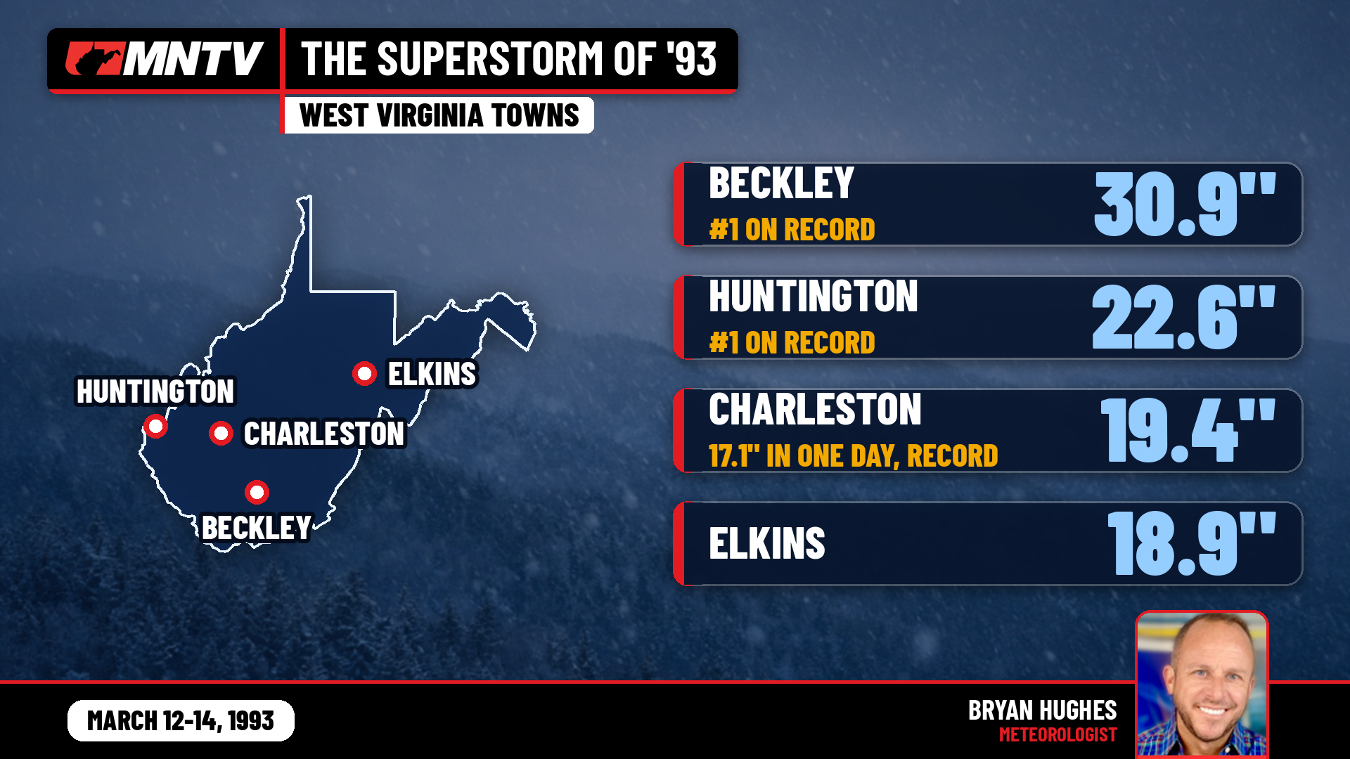 The Storm of the Century: When West Virginia Disappeared Under Feet of Snow
I’ve been forecasting West Virginia weather for 27 years, and there’s one storm folks still bring up at the grocery store, at ballgames, and in my Facebook comments: March 12-14, 1993. You might know it as the…
-
 Mild and dry fall weather with clear skies in the Philadelphia region | NEXT Weather
CBS News Bay Area Evening Edition 11pm WBZ This Morning 5am CBS News Detroit 5am CBS News Los Angeles Weekend 11pm CBS News Miami 5am CBS News Philadelphia 5am KDKA-TV Morning News 5am
-
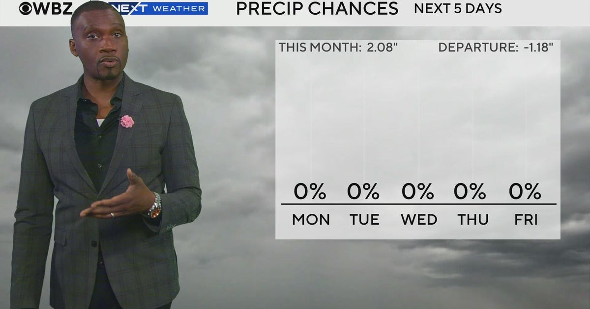 Next Weather: WBZ morning forecast for Oct. 26, 2026
CBS News Bay Area Evening Edition 11pm WBZ This Morning 5am CBS News Detroit 5am CBS News Los Angeles Weekend 11pm CBS News Miami 5am CBS News Philadelphia 5am KDKA-TV Morning News 5am
-
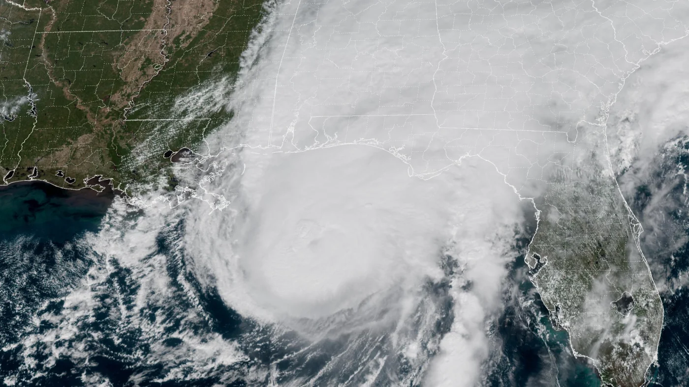 How AI is transforming hurricane forecasts
A satellite image provided by the National Oceanic and Atmospheric Administration (NOAA) shows Hurricane Isaias approaching the Gulf Coast of Alabama and Florida on Friday, Oct. 9 2026. NOAA/NOAA hide caption Hurricane…
-
 Storm Boelo clears but more wind and rain bears down on UK
After a weekend of heavy downpours and severe gales, Storm Boelo is moving away from the UK and the weather has turned calmer. However, this may not last long as another deep area of low pressure is already approaching…
-
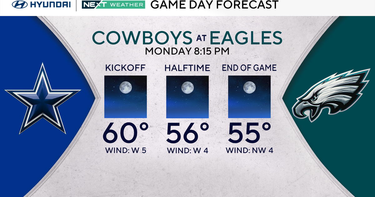 Terrific stretch of October weather continues for Philadelphia Eagles-Dallas Cowboys game Monday
October 25, 2026 / 11:52 PM EDT / CBS Philadelphia It will be a beautiful start to the workweek with plenty of sunshine, light winds and temperatures climbing to around 70 degrees in the Philadelphia region. We're…
-
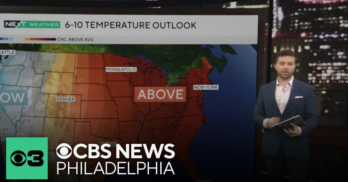 Beautiful stretch of October weather in Philadelphia region
CBS News Philadelphia is a local news organization that is part of CBS News and Stations. Also referred to as KYW-TV and channel 3, CBS News Philadelphia offers local breaking news, weather coverage and investigative…
-
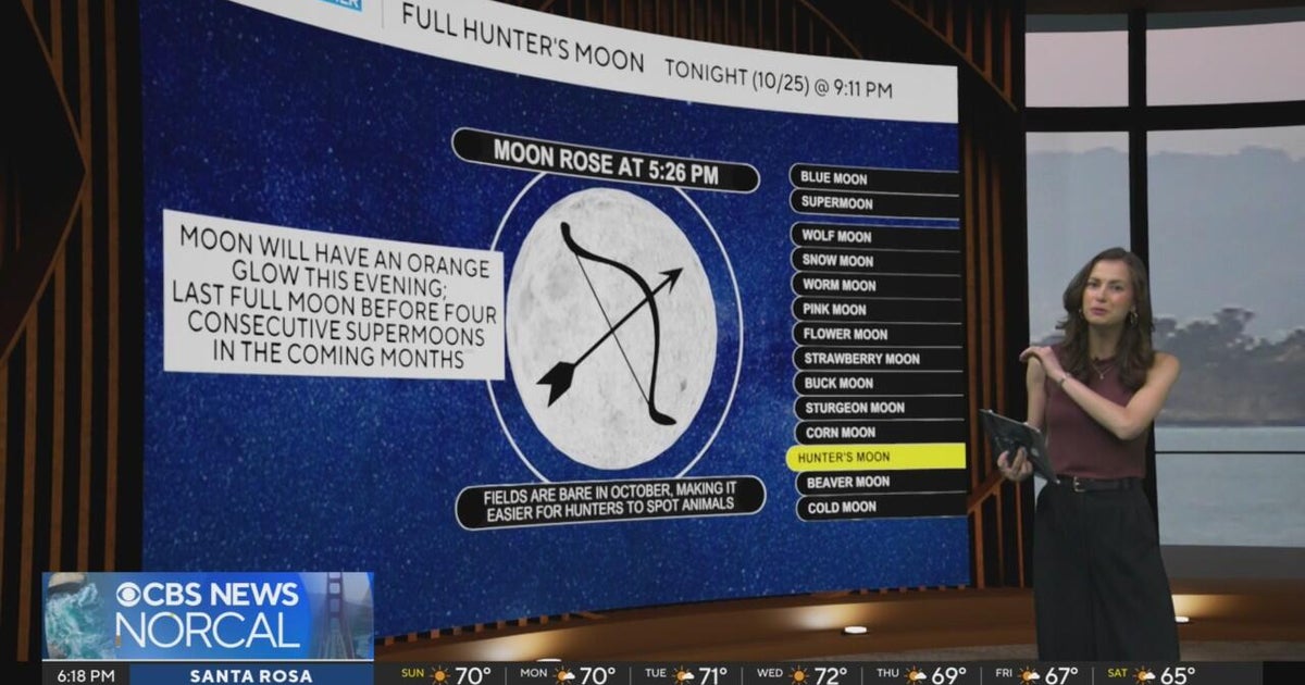 First Alert Weather Sunday evening forecast 10-25-26
CBS News Bay Area Evening Edition Weekend 6pm CBS News Detroit Weekend 6:30pm CBS News Miami 6:30pm CBS Philadelphia at 6:30pm KDKA News Weekend 10pm Your Community Stories From Your Reporters CBS News Texas 5:30pm
-
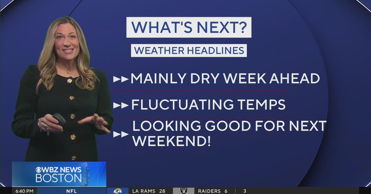 Next Weather: WBZ Evening Update for Oct. 25
CBS News Colorado Weekend 5pm CBS News Detroit Weekend 6:30pm CBS News Miami 6:30pm CBS Philadelphia at 6:30pm KDKA News Weekends 6:30pm CBS News Texas 5:30pm
-
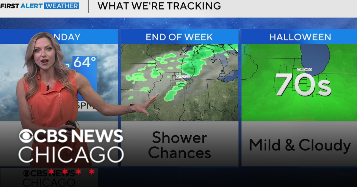 Areas of fog in Chicago Sunday night
CBS News Colorado Weekend 5pm CBS News Detroit Weekend 6:30pm CBS News Miami 6:30pm CBS Philadelphia at 6:30pm KDKA News Weekends 6:30pm CBS News Texas 5:30pm
Air quality
Air quality is satisfactory, and air pollution poses little or no risk.
Charleston, WV reporting area · 2 hrs ago. Data from AirNow (EPA and its state, local and tribal partners); preliminary and subject to change.
Sun & moon
Almanac
MonthlyCharleston Area, records since 1892. Normals 1991–2020. Data from NOAA's Regional Climate Centers (ACIS).
Nearby
- Huntington 57 km
- Charleston 17 km
- Teays Valley 21 km
- South Charleston 13 km
- Saint Albans 11 km
- Cross Lanes 15 km
- Dunbar 10 km
- Nitro 15 km
- Pea Ridge 47 km
- Hurricane 24 km
- Barboursville 44 km
- Sissonville 31 km
Forecasters' discussion
From the National Weather Service office in RLX, issued 4 hrs ago
What Has Changed
Forecast remains on track with no change to continued messaging of dry weather this week.
Key Messages
1) Conquering high pressure will maintain dry weather through the end of the calendar month. Next chance for rain returns to the forecast late in the weekend.
Discussion
KEY MESSAGE 1...
Forecast messaging of dry weather amid anchored high pressure remains much of the same for the final days of the calendar month. Strong ridging aloft will slowly slide eastward through the course of the work week, while at the surface, a backdoor cold front quietly passes over the area on Tuesday before lifting north as a warm front. Main implications to the forecast with this slight pattern change will then be a slight increase in temperatures and less river valley fog and frost potential during the overnight hours as a result. Otherwise, prominently dry weather prevails today through the start of the weekend.
The ridge breaks down for the end of October, opening the door for precipitation to return to the Ohio Valley. Model guidance suggests this arriving in the form of a southern stream disturbance late next weekend, with rain returning to the forecast for the first time in over a week.
Aviation
Conquering high pressure continues to control flight conditions heading into the new work week. Early morning fog developing in the sheltered river valleys will branch into prominently clear skies by the afternoons. This pattern prospers into the end of the calendar month.
FORECAST CONFIDENCE AND ALTERNATE SCENARIOS THROUGH 06Z TUESDAY...
FORECAST CONFIDENCE: Medium to High.
ALTERNATE SCENARIOS: Timing and location of fog could vary this morning.
EXPERIMENTAL TABLE OF FLIGHT CATEGORY OBJECTIVELY SHOWS CONSISTENCY OF WFO FORECAST TO AVAILABLE MODEL INFORMATION: H = HIGH: TAF CONSISTENT WITH ALL MODELS OR ALL BUT ONE MODEL. M = MEDIUM: TAF HAS VARYING LEVEL OF CONSISTENCY WITH MODELS. L = LOW: TAF INCONSISTENT WITH ALL MODELS OR ALL BUT ONE MODEL.
DATE MON 10/26/26 UTC 1HRLY 05 06 07 08 09 10 11 12 13 14 15 16 EDT 1HRLY 01 02 03 04 05 06 07 08 09 10 11 12 CRW CONSISTENCY H H H H H H M L M H H H HTS CONSISTENCY H H H H H H H H H H H H BKW CONSISTENCY H H H H H H H H H H H H EKN CONSISTENCY H H H H H H M L M H H H PKB CONSISTENCY H H H H M M M L H H H H CKB CONSISTENCY H H H H H H H H H H H H
Forecasts, observations and alerts in the United States come from the National Weather Service (NOAA); radar from NOAA's Multi-Radar Multi-Sensor system; satellite imagery from NASA's Global Imagery Browse Services (GIBS) and NOAA's GOES satellites; the map from the U.S. Geological Survey's National Map; air quality from AirNow (EPA and its partners); hurricane information from the National Hurricane Center; climate normals and records from NOAA's Regional Climate Centers (ACIS). Forecasts outside the United States and the UV index: MET Norway (CC BY 4.0); observations outside the U.S.: airport reports via NOAA's Aviation Weather Center. Place names: GeoNames (CC BY 4.0). Data are copied on a schedule and may lag the sources; for warnings that affect your safety, follow your local National Weather Service office and emergency officials. Weather news is drawn from the 4Conservative index and reflects what the press published. Terms of use. How to use Weather