Install
Alderson, WV Weather
Current conditions
Forecast for this hour (no station report in the last two hours)
Forecast
10-day-
Friday
Sunny, with a high near 68.
-
Friday Night
Clear, with a low around 35.
-
Saturday
Sunny, with a high near 64.
National Weather Service forecast updated 3 days ago.
Hourly
Hourly forecast- Now49°
- 11 AM54°
- 12 PM58°
- 1 PM63°
- 2 PM65°
- 3 PM66°
- 4 PM65°
- 5 PM63°
- 6 PM59°
- 7 PM55°
- 8 PM50°
- 9 PM47°
- 10 PM45°
- 11 PM43°
- Sat12 AM42°
- 1 AM40°
- 2 AM39°
- 3 AM38°
- 4 AM37°
- 5 AM36°
- 6 AM35°
- 7 AM35°
- 8 AM36°
- 9 AM39°
10-day forecast
Details- TueOct 20Sunny40°71°
- WedOct 21Sunny38°70°
- ThuOct 22Sunny40°69°
- TodayOct 23Sunny35°68°
- SatOct 24Sunny36°64°
- SunOct 25Sunny41°69°
- MonOct 26Mostly Sunny43°71°
- TueOct 27Partly cloudy40°72°
- WedOct 28Cloudy46°66°
- ThuOct 29Cloudy47°65°
Days after the National Weather Service's seven are MET Norway's outlook, a computer model with no forecaster's review.
Radar
Full mapWeather news in West Virginia
More weather news-
 Freeze expected tonight in six West Virginia counties before mild, dry week
CHARLESTON, W.Va. — One more frosty night is in store for parts of West Virginia before a mild, dry stretch settles in for the week ahead. The MetroNews forecast calls for a freeze tonight into early Monday in…
- A Long Stretch of Dry and Sunny Weather in West Virginia
WDTV 5 BRIDGEPORT, W.Va (WDTV) - Weather Overview: A Stretch of Sunny Days and Chilly Nights The next 10 days look mainly dry and sunny here in North Central West Virginia (NCWV). For each afternoon, temperatures reach…
-
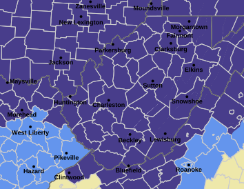 West Virginia under freeze warning for tonight
CHARLESTON, W.Va. — The National Weather has issued a freeze warning for the entire state for overnight Saturday into Sunday. The warning is posted for 1 a.m. to 9 a.m. Sunday. Meteorologists said sub-freezing…
-
 Dangerous Freeze Watch Issued for Maryland, DC, West Virginia and New Jersey as Temperatures Plummet
Freeze Watches are in effect from late Saturday night through Sunday morning across western Maryland, West Virginia and northern New Jersey, with lows in the upper 20s to low 30s possible. A strong cold front moves…
-
 BBC Audio | What in the World | Five ways El Niño is affecting weather around the world
El Niño has been strengthening for several months now and is already having a significant impact on global weather patterns. Countries including Indonesia, India and the United States have been experiencing droughts…
-
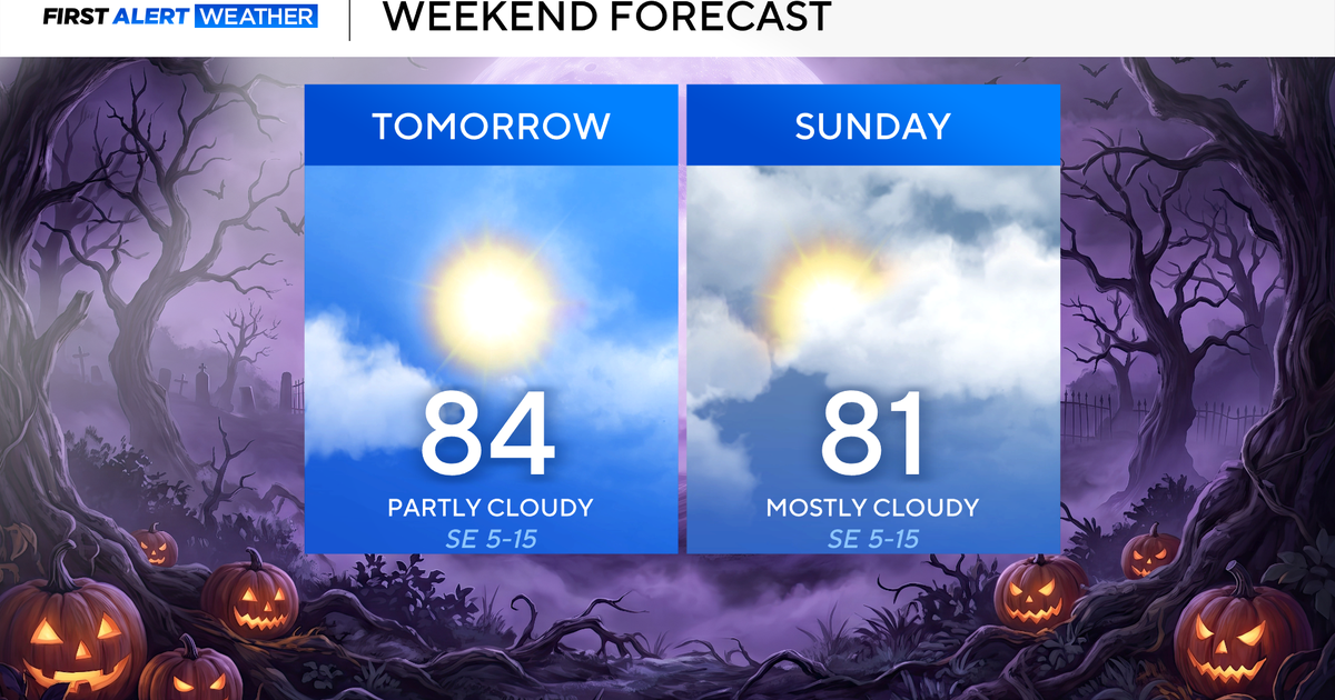 Clouds build in over the weekend as temperatures stay above average in the 80s across North Texas
October 23, 2026 / 8:00 AM CDT / CBS Texas North Texans are waking up to temperatures mainly in the 50s and 60s on Friday morning, with some clouds across portions of the area. In the afternoon and into the weekend…
-
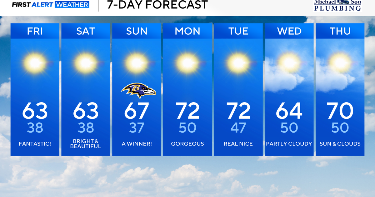 Maryland to enjoy nicest fall weekend weather of season yet
Updated on: October 23, 2026 / 8:46 AM EDT / CBS Baltimore A strong area of high pressure will protect our weather through the weekend and beyond. This type of weather pattern delivers us plenty of sunshine, seasonably…
-
 October's full Hunter's Moon to light up night sky this weekend
October's full Moon, nicknamed the Hunter's Moon, is set to light up the night sky this weekend. It will be visible in the UK from Sunday 25 October into the morning of Monday 26 October. Marking the 11th full Moon of…
-
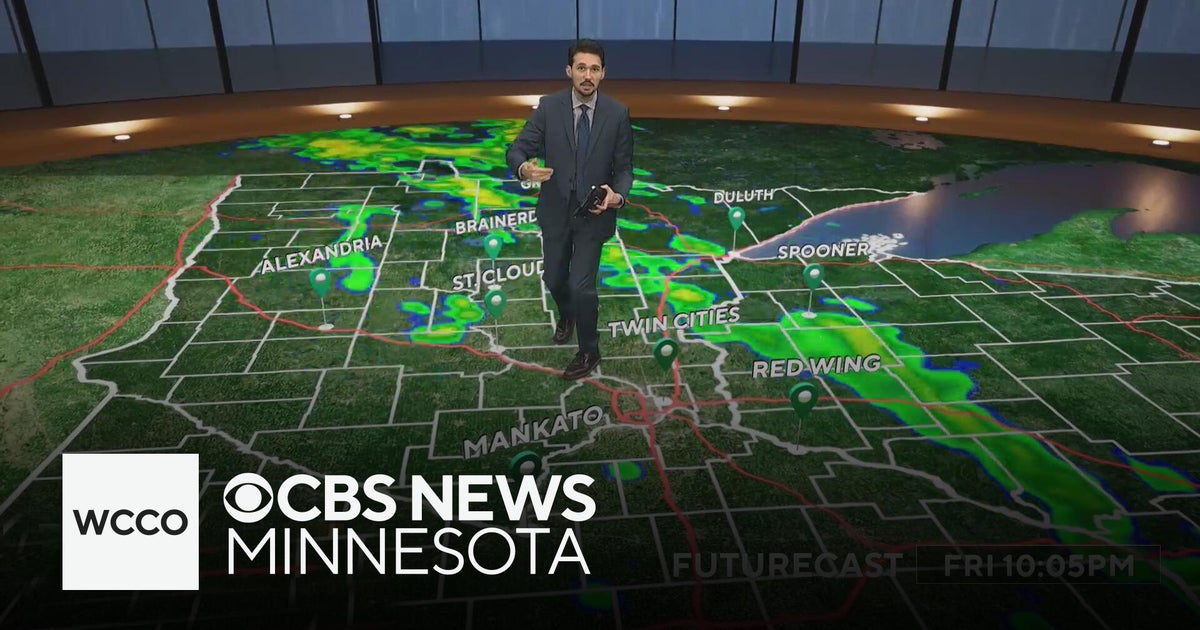 Last taste of mild fall weather in Minnesota | Oct. 23, 2026
CBS News Minnesota is a local news organization that is part of CBS News and Stations. Also referred to as WCCO-TV and channel 4, CBS News Minnesota offers local breaking news, weather coverage and investigative…
-
 Last taste of fall warmth Friday in Twin Cities ahead of cool, soggy weekend
Updated on: October 23, 2026 / 6:56 AM CDT / CBS Minnesota Friday will be on last summerlike October day in the Twin Cities with highs in the low-to-mid 70s. It will be a breezy end to the work week, with southerly…
Air quality
Air quality is satisfactory, and air pollution poses little or no risk.
Greenbrier County, WV reporting area · 1 hr ago. Data from AirNow (EPA and its state, local and tribal partners); preliminary and subject to change.
Sun & moon
Almanac
MonthlyWhite Sulphur Springs, records since 1895. Normals 1991–2020. Data from NOAA's Regional Climate Centers (ACIS).
Nearby
- Blacksburg 59 km
- Beckley 48 km
- Oak Hill 52 km
- Princeton 57 km
- Covington 57 km
- Lewisburg 19 km
- Shady Spring 40 km
- Fayetteville 54 km
- Pearisburg 45 km
- Crab Orchard 52 km
- Hinton 23 km
- White Sulphur Springs 31 km
Forecasters' discussion
From the National Weather Service office in RNK, issued 3 hrs ago
What Has Changed
Aviation updated.
Models continue to have problems with forecasting dewpoints, especially during the afternoon, which impacts the RH forecast. Continue to lower them. Low temperatures were also lowered as wedging developing over the region starting tonight, will start to advect cooler air from the Northeast down into the Mid- Atlantic states.
Key Messages
1) Dry with seasonable temperatures through middle of next week.
Discussion
KEY MESSAGE 1:Dry with seasonable temperatures through middle of next week.
The region will continue to remain under the influence of surface high pressure through the middle of next week. With high pressure and mostly clear skies over the region through the next week, temperatures look to moderate to more seasonable values in the 60s and 70s for highs each day, and 30s/40s for lows at night. Overnight temperatures were lowered some as surface wedging looks to develop tonight across the region. This will help advect cooler air from the Northeast into the Mid- Atlantic states over the next several days as high pressure remains quasi-stationary across the Northeast.
At this time, no precipitation is expected through at least the end of next week, and is not looking likely for the remainder of the month.
Aviation
VFR conditions are expected through the TAF period. There is some CAM guidance showing low clouds develop over mountain terminals to include BCB, LWB, and BLF early Saturday morning starting around 10 UTC, but confidence is low at this time to include restrictions on those terminals at this time due to the possibility of lower coverage. Winds look to continue to remain out of the northeast through the TAF period at around 5-10 knots, with gusts up to 15 knots through the 15-00 UTC timeframe today.
EXTENDED OUTLOOK...
VFR conditions likely to continue into next week. Any fog should be limited to over bodies of water, and not foreseeing any issues at the TAF sites.
Forecasts, observations and alerts in the United States come from the National Weather Service (NOAA); radar from NOAA's Multi-Radar Multi-Sensor system; satellite imagery from NASA's Global Imagery Browse Services (GIBS) and NOAA's GOES satellites; the map from the U.S. Geological Survey's National Map; air quality from AirNow (EPA and its partners); hurricane information from the National Hurricane Center; climate normals and records from NOAA's Regional Climate Centers (ACIS). Forecasts outside the United States and the UV index: MET Norway (CC BY 4.0); observations outside the U.S.: airport reports via NOAA's Aviation Weather Center. Place names: GeoNames (CC BY 4.0). Data are copied on a schedule and may lag the sources; for warnings that affect your safety, follow your local National Weather Service office and emergency officials. Weather news is drawn from the 4Conservative index and reflects what the press published. Terms of use.