Install
Hinton, WV Weather
Current conditions
Observed at Beckley, Raleigh County Memorial Airport · 18 min ago
Forecast
10-day-
Saturday
Sunny, with a high near 64. Southeast wind around 3 mph.
-
Saturday Night
Clear, with a low around 34.
-
Sunday
Sunny, with a high near 66.
National Weather Service forecast updated 2 days ago.
Hourly
Hourly forecast- Now41°
- 10 AM44°
- 11 AM48°
- 12 PM53°
- 1 PM58°
- 2 PM61°
- 3 PM63°
- 4 PM64°
- 5 PM63°
- 6 PM60°
- 7 PM56°
- 8 PM51°
- 9 PM48°
- 10 PM45°
- 11 PM42°
- Sun12 AM41°
- 1 AM40°
- 2 AM39°
- 3 AM38°
- 4 AM37°
- 5 AM36°
- 6 AM35°
- 7 AM34°
- 8 AM36°
10-day forecast
Details- ThuOct 22Sunny37°65°
- FriOct 23Sunny38°66°
- TodayOct 24Sunny34°64°
- SunOct 25Sunny36°66°
- MonOct 26Sunny40°69°
- TueOct 27Mostly Sunny45°70°
- WedOct 28Partly Sunny43°69°
- ThuOct 29Cloudy44°70°
- FriOct 30Mostly sunny38°56°
- SatOct 31Cloudy31°59°
Days after the National Weather Service's seven are MET Norway's outlook, a computer model with no forecaster's review.
Radar
Full mapWeather news in West Virginia
More weather news-
 Freeze expected tonight in six West Virginia counties before mild, dry week
CHARLESTON, W.Va. — One more frosty night is in store for parts of West Virginia before a mild, dry stretch settles in for the week ahead. The MetroNews forecast calls for a freeze tonight into early Monday in…
- A Long Stretch of Dry and Sunny Weather in West Virginia
WDTV 5 BRIDGEPORT, W.Va (WDTV) - Weather Overview: A Stretch of Sunny Days and Chilly Nights The next 10 days look mainly dry and sunny here in North Central West Virginia (NCWV). For each afternoon, temperatures reach…
-
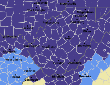 West Virginia under freeze warning for tonight
CHARLESTON, W.Va. — The National Weather has issued a freeze warning for the entire state for overnight Saturday into Sunday. The warning is posted for 1 a.m. to 9 a.m. Sunday. Meteorologists said sub-freezing…
-
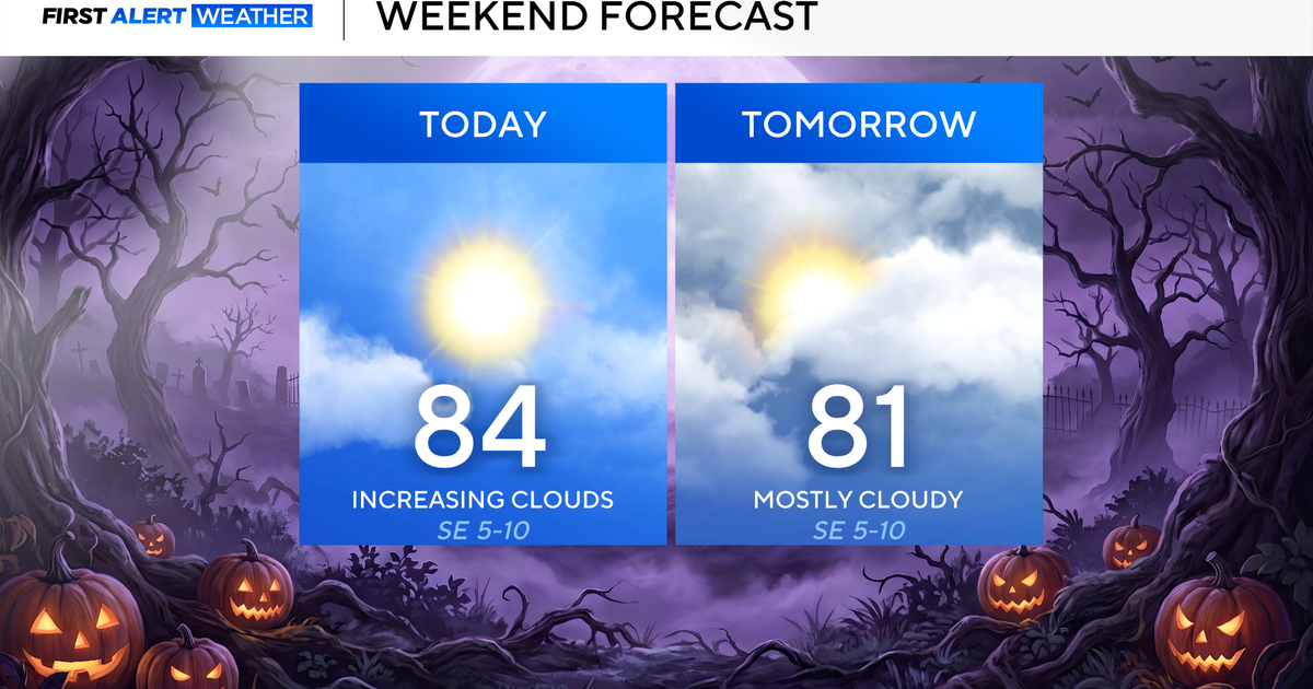 North Texas seeing rain chances return next week
October 24, 2026 / 7:21 AM CDT / CBS Texas North Texas was off to a seasonable start on Saturday morning, with temperatures mainly in the 50s. Temperatures will remain above average this weekend, with highs in the lower…
-
 Storm Boelo to bring gusts of up to 80mph and heavy rain to parts of UK
Second named storm in as many days will hit northern parts of UK as thousands remain without power after Friday’s Storm Austen The UK is bracing for a second storm this weekend, as strong winds and heavy rain are…
-
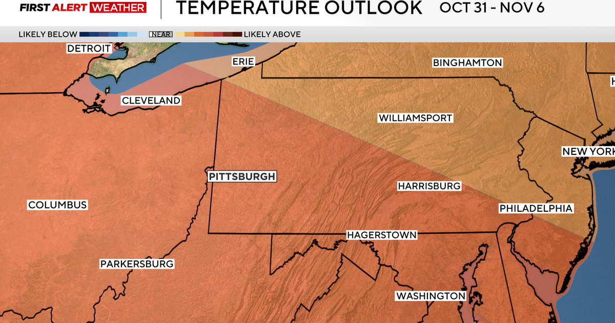 Pittsburgh could see its longest dry stretch of the year, with sunny skies and highs above normal
October 24, 2026 / 7:11 AM EDT / CBS Pittsburgh High pressure sticks around western Pennsylvania all weekend long and into the work week with sunny skies, dry conditions and highs above normal in the mid to upper 60s…
-
 Severe weather possible Tuesday in Southeast Michigan. Here's the timing and what to look for.
Updated on: April 14, 2026 / 11:50 PM EDT / CBS Detroit A severe weather threat exists for Tuesday, and Southeast Michigan is squarely in the path. A potent weather system is dragging unseasonably warm, humid air into…
-
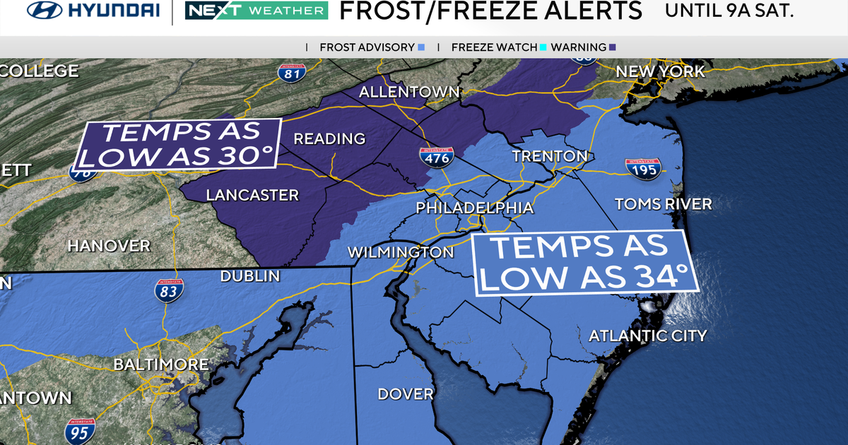 Freeze warning in effect for parts of Philadelphia region as chilly air moves in. Here's the weather forecast.
October 23, 2026 / 11:57 PM EDT / CBS Philadelphia With fall comes some frosty mornings, and that's exactly what's on tap this weekend in the Philadelphia region. Temperatures Saturday morning along the I-95 corridor…
-
 Minnesota weather to feature warm temps Saturday before cooldown | Oct. 23, 2026
CBS News Minnesota is a local news organization that is part of CBS News and Stations. Also referred to as WCCO-TV and channel 4, CBS News Minnesota offers local breaking news, weather coverage and investigative…
-
 Columbus weather: Sunny skies remain this weekend
COLUMBUS, Ohio (WCMH) – Very quiet conditions continue in the forecast in central Ohio. Columbus' weather keeps skies mostly sunny for the foreseeable future. Here are the details from Storm Team 4. A very light…
Air quality
Air quality is satisfactory, and air pollution poses little or no risk.
Greenbrier County, WV reporting area · 2 hrs ago. Data from AirNow (EPA and its state, local and tribal partners); preliminary and subject to change.
Sun & moon
Almanac
MonthlyBeckley Va Hospital, records since 1896. Normals 1991–2020. Data from NOAA's Regional Climate Centers (ACIS).
Nearby
- Beckley 29 km
- Bluefield 54 km
- Oak Hill 40 km
- Princeton 39 km
- Bluefield 58 km
- Lewisburg 42 km
- Shady Spring 19 km
- Fayetteville 46 km
- Crab Orchard 31 km
- Pearisburg 41 km
- White Sulphur Springs 54 km
- Bluewell 52 km
Forecasters' discussion
From the National Weather Service office in RNK, issued 12 hrs ago
What Has Changed
Aviation updated.
Models continue to have problems with forecasting dewpoints, especially during the afternoon, which impacts the RH forecast. Continue to lower them. Low temperatures were also lowered as wedging developing over the region starting tonight, will start to advect cooler air from the Northeast down into the Mid- Atlantic states.
Key Messages
1) Dry with seasonable temperatures through the end of next week.
Discussion
KEY MESSAGE 1:Dry with seasonable temperatures through the end of next week.
The region will continue to remain under the influence of surface high pressure through next week. With high pressure and mostly clear skies over the region through the next week, temperatures look to moderate to more seasonable values in the 60s and 70s for highs each day, and 30s/40s for lows at night. Overnight temperatures were lowered some as surface wedging looks to develop tonight across the region. This will help advect cooler air from the Northeast into the Mid- Atlantic states over the next several days as high pressure remains quasi-stationary across the Northeast.
At this time, no precipitation is expected through at least the end of next week, and is not looking likely for the remainder of the month.
Aviation
VFR conditions are expected through the TAF period. There is some CAM guidance showing low clouds develop over mountain terminals to include BCB, LWB, and BLF early Saturday morning starting around 10 UTC, but confidence is low at this time given the fairly dry airmass in place to include in those terminals.
EXTENDED OUTLOOK...
VFR conditions likely to continue into next week. Any fog should be limited to over bodies of water, and not foreseeing any issues at the TAF sites.
Forecasts, observations and alerts in the United States come from the National Weather Service (NOAA); radar from NOAA's Multi-Radar Multi-Sensor system; satellite imagery from NASA's Global Imagery Browse Services (GIBS) and NOAA's GOES satellites; the map from the U.S. Geological Survey's National Map; air quality from AirNow (EPA and its partners); hurricane information from the National Hurricane Center; climate normals and records from NOAA's Regional Climate Centers (ACIS). Forecasts outside the United States and the UV index: MET Norway (CC BY 4.0); observations outside the U.S.: airport reports via NOAA's Aviation Weather Center. Place names: GeoNames (CC BY 4.0). Data are copied on a schedule and may lag the sources; for warnings that affect your safety, follow your local National Weather Service office and emergency officials. Weather news is drawn from the 4Conservative index and reflects what the press published. Terms of use.