Install
Manchester Center, VT Weather
Current conditions
Observed at Bennington Morse State Airport · 1 hr ago
Forecast
10-day-
Monday
Sunny, with a high near 62.
-
Monday Night
Partly cloudy, with a low around 35.
-
Tuesday
Mostly sunny, with a high near 53.
National Weather Service forecast updated 3 days ago.
Hourly
Hourly forecast- Now55°
- 12 PM58°
- 1 PM60°
- 2 PM61°
- 3 PM62°
- 4 PM61°
- 5 PM60°
- 6 PM58°
- 7 PM55°
- 8 PM52°
- 9 PM50°
- 10 PM48°
- 11 PM46°
- Tue12 AM45°
- 1 AM43°
- 2 AM42°
- 3 AM40°
- 4 AM38°
- 5 AM37°
- 6 AM36°
- 7 AM35°
- 8 AM36°
- 9 AM39°
- 10 AM43°
10-day forecast
Details- ThuOct 22Sunny31°58°
- FriOct 23Sunny24°52°
- SatOct 24Sunny29°56°
- SunOct 25Sunny38°61°
- TodayOct 26Sunny35°62°
- TueOct 27Mostly Sunny29°53°
- WedOct 28Mostly Sunny36°54°
- ThuOct 29Partly cloudy40°61°
- FriOct 30Cloudy0.30 in35°54°
- SatOct 31Mostly sunny35°50°
Days after the National Weather Service's seven are MET Norway's outlook, a computer model with no forecaster's review.
Radar
Full mapWeather news in Vermont
More weather news-
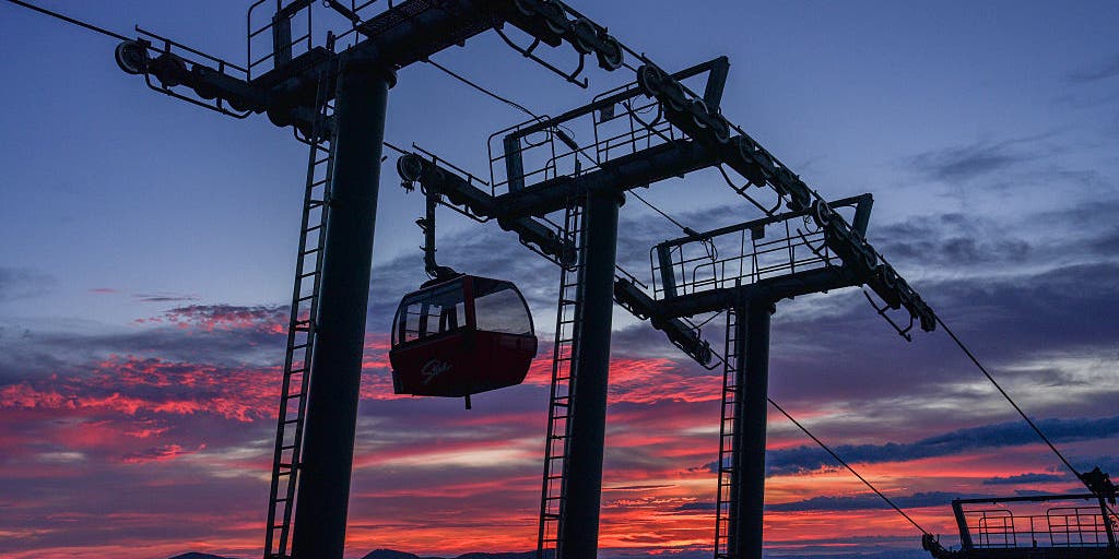 Vermont ski mountains prepare to open as winter weather looms
A ski resort in Colorado unveils preserved snow from last season to provide a rare opportunity for thousands, skiing in October. Chris Miller, the sustainability senior VP at Aspen One, joins FOX Weather to talk about…
-
 Stick season approaches, but a beautiful weekend ahead across Vermont
This year, VTDigger is teaming up with Henry’s Weather Channel to help answer the annual question of when and where peak foliage will make its appearance across the state. Though the best fall foliage is now behind us…
-
 NOAA’s Winter Outlook Predicts Warmer Temperatures and Less Snow for Vermont
At SSBCrack News, our dedicated editorial team brings you the latest and most reliable updates on Defence, Geopolitics, Military Affairs, Science, and Technology. Driven by a passion for national security and strategic…
- Vermont Woolly Bear Points to Mild Winter in Predicting A Harsh Winter Using Wildlife
A Vermont woolly bear crossing a patch of pine needles on an access road this week is feeding the old habit of predicting a harsh winter using wildlife, and this one pointed toward a mild season. Its black ends and wide…
-
 PHOTOS: First snowflakes fly around Vermont
VTDigger Member-supported journalism. Informing and engaging Vermont. This year, VTDigger is teaming up with Henry’s Weather Channel to help answer the annual question of when and where peak foliage will make its…
Air quality
Acceptable. Unusually sensitive people should consider limiting prolonged outdoor exertion.
Forecast
- MonModerate (55)
Bennington, VT reporting area · 1 hr ago. Data from AirNow (EPA and its state, local and tribal partners); preliminary and subject to change.
Sun & moon
Almanac
MonthlyPeru, records since 1964. Normals 1991–2020. Data from NOAA's Regional Climate Centers (ACIS).
Nearby
- Saratoga Springs 60 km
- Queensbury 50 km
- Wilton 56 km
- Rutland 49 km
- Glens Falls 50 km
- North Adams 53 km
- Bennington 35 km
- Glens Falls North 54 km
- Brattleboro 54 km
- Hudson Falls 45 km
- West Glens Falls 53 km
- Rockingham 46 km
Forecasters' discussion
From the National Weather Service office in ALY, issued 5 hrs ago
What Has Changed
No significant changes with this forecast update.
Key Messages
1) Continued high confidence in mainly dry conditions persisting through the end of the week.
Discussion
KEY MESSAGE 1...
A cold front approaching from SE Canada will push southeast across the area during the afternoon to early evening hours. A few light showers may occur in the W. Adirondacks, otherwise the front will pass through dry with just increasing mid level clouds. Ahead of the front, temperatures expected to warm into the mid to upper 60s in valley areas. Winds will shift to the northwest late in the day, with gusts of 15-20 mph developing, with a few gusts to 25 mph. A colder air mass will filter in tonight into Wednesday with below normal temperatures. Another large area of high pressure will build SE from Canada, providing continued dry conditions. The high shifts south/east of our region Wed night into Thu, with a milder S/SW flow developing. This will allow temperatures to warm back to above normal levels. Another moisture-starved cold front is expected to pass through Thu night into Fri, which may bring a few light showers to areas well north/west of Albany. Yet another area of high pressure looks to build in over the upcoming weekend bringing tranquil weather, although temperatures are expected to remain slightly above normal.
Aviation
Through 12z Tuesday...VFR conditions are expected to prevail through the 24 hour TAF period. High level clouds will move across the area this morning, with thicker mid level clouds associated with a cold front passage later this afternoon into this evening. Cigs should remain at VFR levels. Winds will become southerly this morning around 3-6 kt, then shift to northwest behind the cold front and increase to 5-10 kt this afternoon. Occasional gusts of 15-20 kt are expected at KALB/KPSF.
Outlook...
Tuesday Night through Friday: No Operational Impact. NO SIG WX.
Forecasts, observations and alerts in the United States come from the National Weather Service (NOAA); radar from NOAA's Multi-Radar Multi-Sensor system; satellite imagery from NASA's Global Imagery Browse Services (GIBS) and NOAA's GOES satellites; the map from the U.S. Geological Survey's National Map; air quality from AirNow (EPA and its partners); hurricane information from the National Hurricane Center; climate normals and records from NOAA's Regional Climate Centers (ACIS). Forecasts outside the United States and the UV index: MET Norway (CC BY 4.0); observations outside the U.S.: airport reports via NOAA's Aviation Weather Center. Place names: GeoNames (CC BY 4.0). Data are copied on a schedule and may lag the sources; for warnings that affect your safety, follow your local National Weather Service office and emergency officials. Weather news is drawn from the 4Conservative index and reflects what the press published. Terms of use. How to use Weather