Install
River Oaks, TX Weather
Current conditions
Forecast for this hour (no station report in the last two hours)
Forecast
10-day-
Saturday Night
Mostly cloudy, with a low around 62. South southeast wind 5 to 10 mph.
-
Sunday
Partly sunny, with a high near 81. Southeast wind 0 to 10 mph, with gusts as high as 20 mph.
-
Sunday Night
Mostly cloudy, with a low around 59. Southeast wind 0 to 10 mph.
National Weather Service forecast updated 2 days ago.
Hourly
Hourly forecast- Now69°
- 1 AM68°
- 2 AM67°
- 3 AM65°
- 4 AM64°
- 5 AM63°
- 6 AM63°
- 7 AM62°
- 8 AM65°
- 9 AM67°
- 10 AM70°
- 11 AM73°
- 12 PM76°
- 1 PM79°
- 2 PM80°
- 3 PM80°
- 4 PM81°
- 5 PM80°
- 6 PM78°
- 7 PM77°
- 8 PM75°
- 9 PM72°
- 10 PM69°
- 11 PM67°
10-day forecast
Details- ThuOct 22Sunny60°84°
- FriOct 23Mostly Sunny60°85°
- SatOct 24Mostly Sunny62°84°
- TodayOct 25Partly Sunny59°81°
- MonOct 26Mostly Sunny11%61°80°
- TueOct 27Slight Chance Rain Showers22%58°76°
- WedOct 28Mostly Sunny59°78°
- ThuOct 29Partly cloudy58°73°
- FriOct 30Cloudy0.03 in53°70°
- SatOct 31Heavy rain0.70 in57°65°
Days after the National Weather Service's seven are MET Norway's outlook, a computer model with no forecaster's review.
Radar
Full mapWeather news near River Oaks
More weather news-
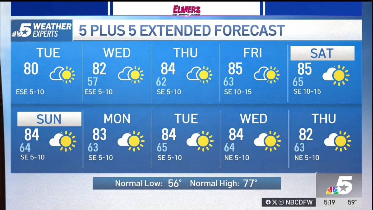 NBC 5 Forecast: A quiet weather pattern for North Texas
NBC 5 Dallas-Fort Worth NBC 5 Forecast: A quiet weather pattern for North Texas
-
 Texas Warms Back Up, West Texas Rain Chances Return by Friday | Texas Weather Roundup
Crashy the Cold Front is long gone, and Texas is warming back up. South winds and a little more humidity are back this week. Most of the state stays dry, but rain chances creep back into West Texas by Thursday and…
-
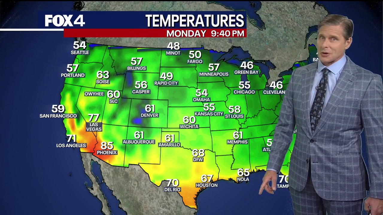 Dallas weather: October 19 overnight forecast
FOX 4 News Dallas-Fort Worth FOX 4 chief meteorologist Dan Henry has an overnight forecast for October 19 in North Texas.
-
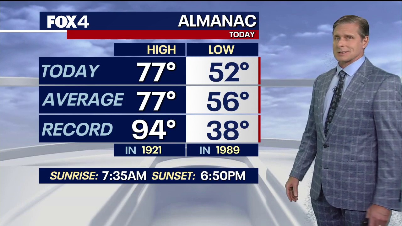 Dallas weather: October 19 evening forecast
FOX 4 News Dallas-Fort Worth It's cool in North Texas with a little more heat on the horizon. FOX 4 chief meteorologist Dan Henry has more in this evening forecast for October 19.
-
 Dog gets the zoomies among peak New England foliage
Adorable dog gets the zoomies among colorful New England leaves The Weather Channel Adorable dog gets the zoomies among colorful New England leaves Adorable footage shows a dog bounding through piles of vibrant leaves…
- Dallas Forecast: Sunny Days Warm Into the 80s as Regional Drought Persists
Dallas starts the week with a forecast for sunny, dry weather and a high near 77 degrees on Monday, Oct. 19. The National Weather Service forecast calls for a low around 55 Monday night, then highs near 81 Tuesday, 84…
-
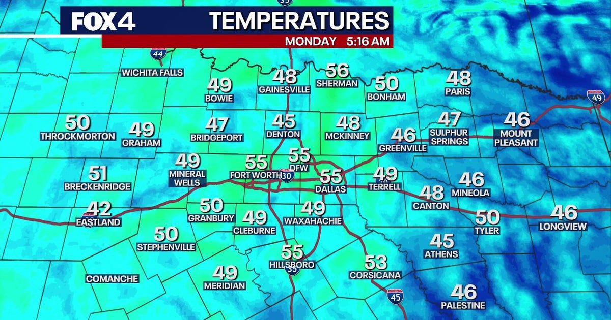 Dallas Weather: Dry week and warming temperatures ahead for DFW
FOX 4's Ali Turiano has the morning forecast for Oct. 19 in North Texas. DALLAS - North Texas will see zero rain and temperatures climbing into the mid-80s this week, while tropical systems remain safely offshore. The…
-
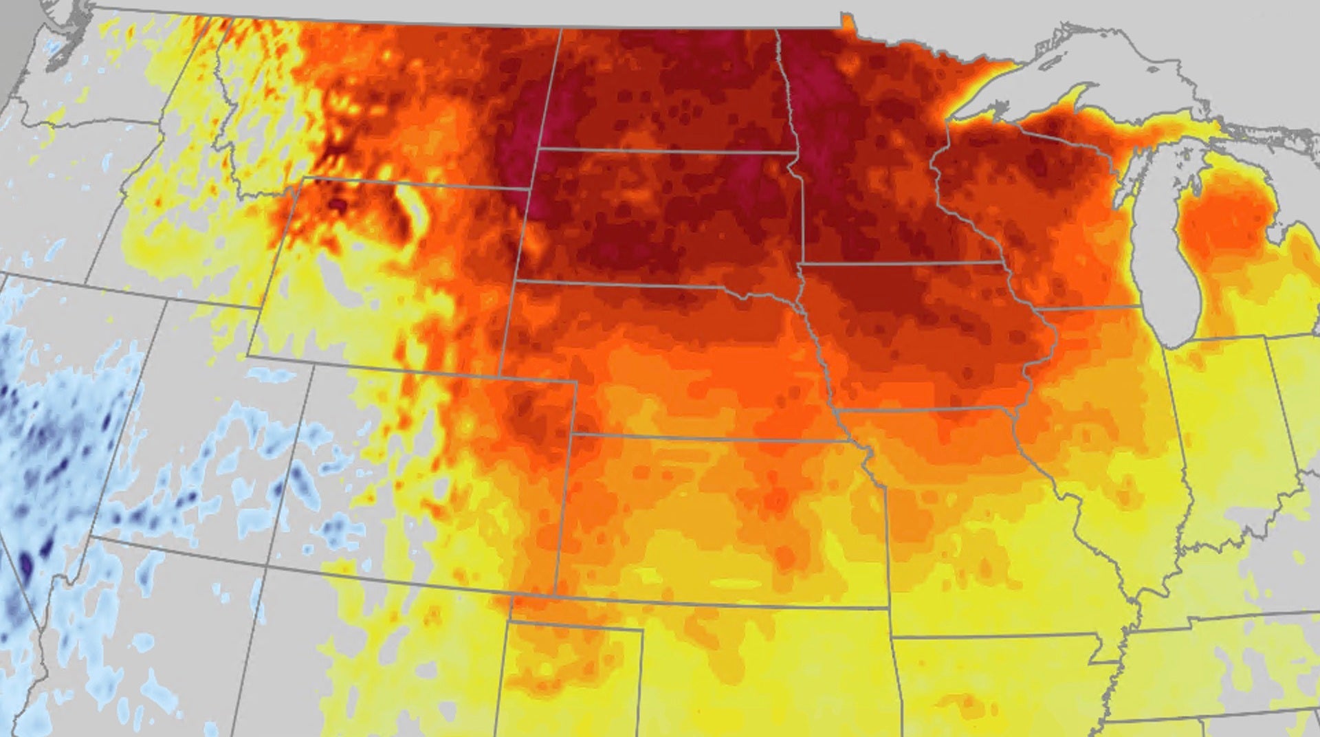 Warm fall temperatures build across Central US this week
The Weather Channel Pattern change brings back warm fall temperatures for Central US After a few days of chilly fall temperatures, a pattern change is bringing back the warm temperatures to the Central US. Heat will…
- MWR Fort Worth has highlighted windy conditions ahead of Fall Fest.
A MWR Fort Worth Facebook post highlighted windy conditions around Fall Fest. The base employs more than 11,000 active-duty, reserve, guard and civilian personnel across over 40 joint tenant commands, generating an…
-
 Dallas weather: Sunday will have sunny and cool temperatures
North Texas will see another day of sunny and cool weather on Sunday, before temperatures pick up near the end of the week, according to the National Weather Service's office in Fort Worth. Sunday's temperature will…
Air quality
Acceptable. Unusually sensitive people should consider limiting prolonged outdoor exertion.
Forecast
- SunModerate
- MonModerate
- TueModerate
Dallas-Fort Worth, TX reporting area · 1 hr ago. Data from AirNow (EPA and its state, local and tribal partners); preliminary and subject to change.
Sun & moon
Almanac
MonthlyFort Worth Meacham Field, records since 1940. Normals 1991–2020. Data from NOAA's Regional Climate Centers (ACIS).
Nearby
- Dallas 55 km
- Fort Worth 9 km
- Arlington 27 km
- Irving 42 km
- Grand Prairie 37 km
- Carrollton 51 km
- Denton 54 km
- Lewisville 48 km
- Flower Mound 38 km
- North Richland Hills 17 km
- Mansfield 34 km
- Euless 30 km
Forecasters' discussion
From the National Weather Service office in FWD, issued 11 hrs ago
Key Messages
- Quiet weather and mostly dry conditions will continue into early next week.
- A change in the weather pattern is expected by late next week, bringing slightly cooler temperatures and at least low rain chances.
Short Term
(This afternoon through Sunday) Issued at 1225 PM CDT Sat Oct 24 2026
Conditions across North Central Texas will remain unseasonably warm and dry through Sunday, as an amplified upper ridge continues to trek eastward from Texas into the Lower Mississippi Valley by Sunday evening. Highs this afternoon will climb into the mid and upper 80s across most areas, under mostly sunny skies. These temperatures remain nearly 10 degrees above normal for late October.
On Sunday, a pronounced upper level low over the Four Corners region will begin to spread increasing high cloudiness across our area, possibly accompanied by an incursion of lower clouds over Central Texas from around daybreak through midday. The combination of decreasing geopotential heights ahead of the low to our west, along with the cloudiness, should help shave a few degrees off our highs for Sunday. It will still feel quite balmy, however, with values remaining several degrees above climatological norms.
Long Term
(Sunday night through next Friday) Issued at 1225 PM CDT Sat Oct 24 2026
The amplified low over the Four Corners this weekend will become an open wave and quickly zip northeastward into the Northern Plains by Monday morning. The southern fringes of this trough will brush North Texas, perhaps introducing some additional cloudiness on Monday. In the wake of this initial upper low, the Southern Plains will be under the influence of an energetic full latitude southwesterly flow regime through next weekend. Model solutions, particularly the Euro and Euro AI ensembles, advertise a fast, subtle shortwave moving from Baja California across North Texas by Tuesday. Neither lift nor moisture will be overly impressive with this feature, yet it may be sufficient to spawn some widely scattered showers across our far western counties during the afternoon. Virtually all of our forecast area will remain rain- free with this system.
A more concerted attempt at clouds and precipitation will occur in the Thursday through Saturday timeframe, as another weakly amplified trough moves out of Mexico across the Southern Plains. Deep layer moisture associated with this system will be fairly substantial, and model solutions depict sustained low and mid level isentropic lift across most of North and Central Texas Friday and Saturday. Rainfall probabilities will climb into the good chance to likely categories from Friday afternoon through Saturday afternoon. While the end of the week and next weekend won't be a total washout, enough precipitation will be spread across this forecast period to potentially impact Halloween plans and other activites.
Day to day temperatures will remain above normal through most of next week, but will recede closer to typical late October values by next weekend.
Aviation
(18Z TAFS) Issued at 1225 PM CDT Sat Oct 24 2026
VFR conditions will prevail at most TAF sites through 00z Sunday evening, as a departing upper level ridge continues to dominate much of Texas. Any cloudiness across the region will be limited for the most part to the high, thin cirrus variety through tonight and Sunday. However, a tap of low level Gulf moisture is expected to develop over Central Texas by late tonight, as low level southeastly flow increases just above the surface. This moisture may be sufficient to muster some scattered to broken MVFR cloudiness across Central Texas from 10z to 17z. While no cloud group was referenced in the Waco TAF, later forecasts may need to include a brief period of SCT-BKN020 at that location. At this time, no ceiling restrictions are anticipated in the D10 area through Sunday.
Southeasterly surface winds will persist at all TAF sites through Sunday, at speeds averaging 4 to 8 knots.
Forecasts, observations and alerts in the United States come from the National Weather Service (NOAA); radar from NOAA's Multi-Radar Multi-Sensor system; satellite imagery from NASA's Global Imagery Browse Services (GIBS) and NOAA's GOES satellites; the map from the U.S. Geological Survey's National Map; air quality from AirNow (EPA and its partners); hurricane information from the National Hurricane Center; climate normals and records from NOAA's Regional Climate Centers (ACIS). Forecasts outside the United States and the UV index: MET Norway (CC BY 4.0); observations outside the U.S.: airport reports via NOAA's Aviation Weather Center. Place names: GeoNames (CC BY 4.0). Data are copied on a schedule and may lag the sources; for warnings that affect your safety, follow your local National Weather Service office and emergency officials. Weather news is drawn from the 4Conservative index and reflects what the press published. Terms of use.