Install
North Richland Hills, TX Weather
Current conditions
Forecast for this hour (no station report in the last two hours)
Forecast
10-day-
Monday
Partly sunny, with a high near 80. Southeast wind 0 to 5 mph.
-
Monday Night
Mostly cloudy, with a low around 62. Southeast wind around 5 mph.
-
Tuesday
A slight chance of rain showers after 4pm. Mostly sunny, with a high near 82. South southeast wind 5 to 10 mph. Chance of precipitation is 20%.
National Weather Service forecast updated 15 hrs ago.
Hourly
Hourly forecast- Now80°
- 5 PM79°
- 6 PM78°
- 7 PM75°
- 8 PM71°
- 9 PM69°
- 10 PM68°
- 11 PM67°
- Tue12 AM66°
- 1 AM65°
- 2 AM64°
- 3 AM64°
- 4 AM63°
- 5 AM63°
- 6 AM62°
- 7 AM62°
- 8 AM62°
- 9 AM64°
- 10 AM69°
- 11 AM72°
- 12 PM75°
- 1 PM77°12%
- 2 PM79°12%
- 3 PM80°12%
10-day forecast
Details- TonightOct 25Mostly Cloudy59°
- TodayOct 26Partly Sunny62°80°
- TueOct 27Mostly Sunny then Slight Chance Rain Showers21%62°82°
- WedOct 28Mostly Sunny64°83°
- ThuOct 29Mostly Cloudy25%62°81°
- FriOct 30Rain Showers Likely56%60°73°
- SatOct 31Chance Showers And Thunderstorms48%62°77°
- SunNov 1Mostly Sunny13%82°
- MonNov 2Cloudy0.04 in68°83°
- TueNov 3Heavy rain0.50 in54°70°
Days after the National Weather Service's seven are MET Norway's outlook, a computer model with no forecaster's review.
Radar
Full mapWeather news in Texas
More weather news-
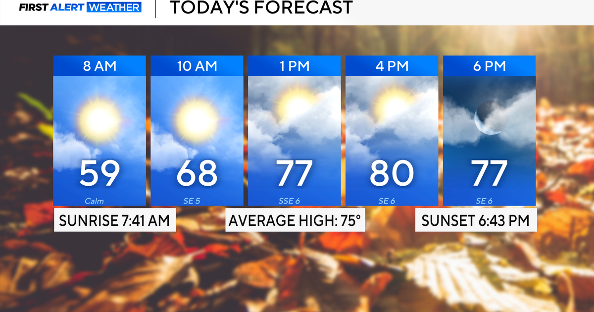 Rain chances on the rise for North Texas this week
October 26, 2026 / 8:16 AM CDT / CBS Texas North Texas woke up to partly to mostly cloudy skies and high temperatures in the 50s and 60s. You'll want to grab that light jacket as you head out the door. We'll continue to…
-
 Severe storms may bring flooding to Texas this week
Heavy rain is likely to continue across the Texas Panhandle on Oct. 26, 2026, bringing even a possibility of flash flooding, per the National Weather Service. After a rainy Sunday, wet weather will likely continue to…
-
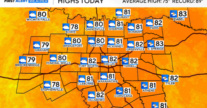 North Texas gets a warm, mild Sunday ahead of clouds and wind this week
October 25, 2026 / 6:51 AM CDT / CBS Texas Expect a warm and dry stretch of weather in North Texas over the next few days, with highs staying in the 80s, but we will see a pattern change as rain chances move in around…
-
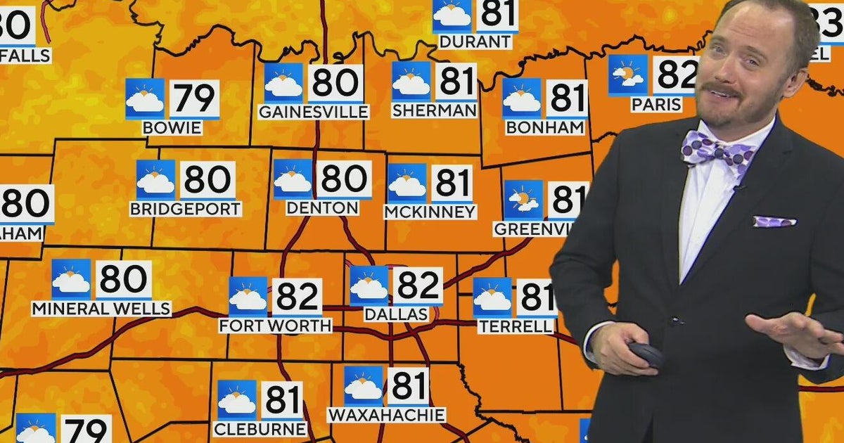 Warm, mild Sunday ahead for North Texas
CBS News Bay Area Morning Edition Weekend 6am WBZ This Morning 8am CBS Colorado Mornings Weekend CBS News Los Angeles Weekend 6am CBS Miami News Sunday Morning CBS News New York Sunday 8am KDKA News This Morning Sunday…
-
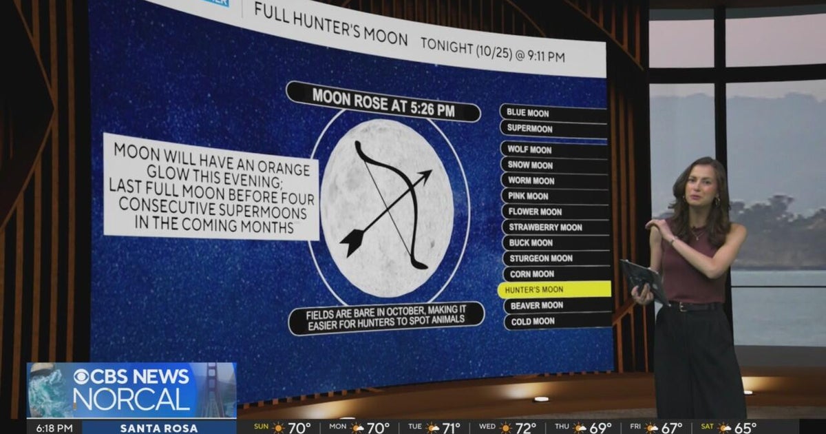 First Alert Weather Sunday evening forecast 10-25-26
CBS News Bay Area Evening Edition Weekend 6pm CBS News Detroit Weekend 6:30pm CBS News Miami 6:30pm CBS Philadelphia at 6:30pm KDKA News Weekend 10pm Your Community Stories From Your Reporters CBS News Texas 5:30pm
-
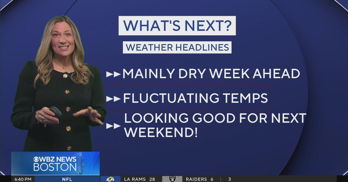 Next Weather: WBZ Evening Update for Oct. 25
CBS News Colorado Weekend 5pm CBS News Detroit Weekend 6:30pm CBS News Miami 6:30pm CBS Philadelphia at 6:30pm KDKA News Weekends 6:30pm CBS News Texas 5:30pm
-
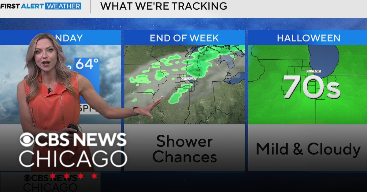 Areas of fog in Chicago Sunday night
CBS News Colorado Weekend 5pm CBS News Detroit Weekend 6:30pm CBS News Miami 6:30pm CBS Philadelphia at 6:30pm KDKA News Weekends 6:30pm CBS News Texas 5:30pm
-
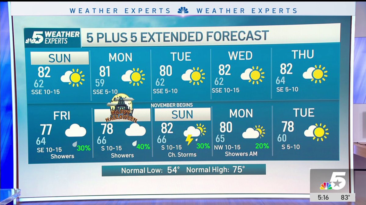 NBC 5 Forecast: A quiet weather pattern continues for North Texas
NBC 5 Dallas-Fort Worth NBC 5 Forecast: A quiet weather pattern continues for North Texas NBC 5 Forecast: Above normal temps, but still nice NBC 5 Forecast: Cool mornings and pleasant afternoons for North Texas
-
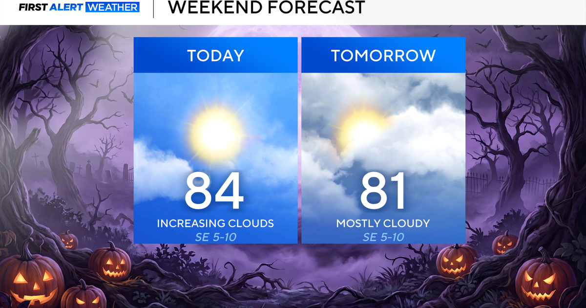 North Texas seeing rain chances return next week
October 24, 2026 / 7:21 AM CDT / CBS Texas North Texas was off to a seasonable start on Saturday morning, with temperatures mainly in the 50s. Temperatures will remain above average this weekend, with highs in the lower…
-
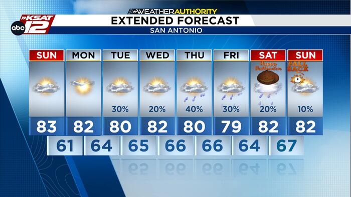 Mild Fall weather continues as rain returns to the forecast
Best opportunity for showers and storms arrives Thursday and Friday, while Halloween rain chances remain uncertain. High clouds will continue to drift across South Central Texas through Monday, but dry air will keep…
Air quality
Acceptable. Unusually sensitive people should consider limiting prolonged outdoor exertion.
Forecast
- MonModerate
- TueModerate
- WedGood
Dallas-Fort Worth, TX reporting area · 1 hr ago. Data from AirNow (EPA and its state, local and tribal partners); preliminary and subject to change.
Sun & moon
Almanac
MonthlyDallas-Fort Worth Area, records since 1898. Normals 1991–2020. Data from NOAA's Regional Climate Centers (ACIS).
Nearby
- Dallas 40 km
- Fort Worth 15 km
- Arlington 16 km
- Plano 54 km
- Garland 56 km
- Irving 26 km
- Grand Prairie 24 km
- Frisco 52 km
- Mesquite 59 km
- Carrollton 34 km
- Denton 43 km
- Richardson 48 km
Forecasters' discussion
From the National Weather Service office in FWD, issued 3 hrs ago
Key Messages
- Above normal temperatures will continue through the workweek, with occasional low rain chances today west of I-35, and across South and Central Texas Tuesday and Wednesday.
- A change in the weather pattern is expected late this week, leading to higher rain chances on Friday and Saturday along with slightly cooler temperatures.
Short Term
(This evening through Wednesday) Issued at 142 PM CDT Mon Oct 26 2026
Rain chances have returned to the short term forecast, with several key ingredients already beginning to set up for our next period of unsettled weather. At the CONUS level, a weak trough continues to shift northeast through the Central Plains, breaking down our stout upper-level ridge and flattening it across the Southeastern US. With this breakdown, continued southerly moisture return and zonal flow aloft will help maintain ongoing showers to the west. This activity should stay to the northwest of the CWA, bringing some light showers to Stephens, Young, Jack, and Montague counties before quickly clearing to the north. Coverage will be sparse, as any showers will already be decaying by the time they make it into western North Texas.
Tuesday, as the trough continues to quickly lift northeast, so too will the chances for widespread showers. Weak mid-level subsidence is expected to scatter ongoing mid/high-level cirrus cloud decks from west to east throughout the day, but strong southerly warm air advection should bring widespread low-level clouds and gray conditions back to NTX/CTX. With the continued overcast cloud cover, temperatures should be kept in check and seasonal, with highs in the low 80s and lows in the mid 60s. Tuesday and Wednesday, short-range guidance is beginning to highlight mid-level moisture return wrapping back across the Gulf, around the surface high pressure currently situated in the Tennessee Valley. With the mid-level moisture and strong southerly advection, there exists a less than 30% for isolated sea breeze-esque convection, primarily for South and Central Texas. While a shower or two may cross into southern portions of the CWA, confidence is too low at this time to indicate more than a slight chance of PoPs for Tuesday and Wednesday.
Long Term
(Thursday through next Tuesday) Issued at 1250 PM CDT Mon Oct 26 2026
Thursday into Friday, another unsettled pattern shift is expected as a strong subtropical jet begins to overspread the area from the west. After several days of moisture return, this jet will provide broad lift to a very moist warm sector, resulting in widespread showers and cloud cover. With very little CAPE in place, any precip will mainly be wetting rains with a rumble of thunder here and there, rather than a large thunderstorm complex. While there is still much uncertainty with precip totals, the period with the greatest chances for rain will be Friday into Saturday. Those with outdoor plans on Friday and Saturday should keep an eye on the forecast for any adjustments to rain potential. Increased cloud cover and beneficial rain will keep high temps in the mid 70s through the weekend, warming back up into the 80s on Sunday.
Going into the extended period, LREF cluster guidance is consistent in continuing an unsettled pattern, with low daily rain chances and seasonal temperatures going into next week. The main uncertainty to watch for will be the interaction between the aforementioned subtropical jet as it pushes east, and a trough progged to dig south in the Day 6-8 period (Sunday into Tuesday). This interaction, and where the subsequent ascent region is, will be the focus for any rain and thunderstorm chances for NTX/CTX. Otherwise, expect highs in the low 80s to continue, with crisp overnight lows in the upper 50s and low 60s.
Aviation
(18Z TAFS) Issued at 1250 PM CDT Mon Oct 26 2026
VFR conditions are expected to continue through the TAF period, with southeasterly winds (120-180) prevailing. Mid and high-level cirrus cloud cover will continue to build in throughout the evening and into the overnight hours as a complex of showers skirts along the northwest portions of D10. Any low CIGs and attendant precip should keep to the west of all DFW area terminals and KACT. While there is a low (less than 15%) chance that MVFR CIGs/SHRA pushes east into range of the terminals, latest LAMP and MOS guidance continues to keep any operational impacts to the west of D10.
Forecasts, observations and alerts in the United States come from the National Weather Service (NOAA); radar from NOAA's Multi-Radar Multi-Sensor system; satellite imagery from NASA's Global Imagery Browse Services (GIBS) and NOAA's GOES satellites; the map from the U.S. Geological Survey's National Map; air quality from AirNow (EPA and its partners); hurricane information from the National Hurricane Center; climate normals and records from NOAA's Regional Climate Centers (ACIS). Forecasts outside the United States and the UV index: MET Norway (CC BY 4.0); observations outside the U.S.: airport reports via NOAA's Aviation Weather Center. Place names: GeoNames (CC BY 4.0). Data are copied on a schedule and may lag the sources; for warnings that affect your safety, follow your local National Weather Service office and emergency officials. Weather news is drawn from the 4Conservative index and reflects what the press published. Terms of use. How to use Weather