Install
Hickory Creek, TX Weather
Current conditions
Forecast for this hour (no station report in the last two hours)
Forecast
10-day-
Monday
Mostly sunny, with a high near 79.
-
Monday Night
Mostly cloudy, with a low around 54.
-
Tuesday
Partly sunny, with a high near 78.
National Weather Service forecast updated 2 days ago.
Hourly
Hourly forecast- Now67°
- 11 AM71°
- 12 PM75°
- 1 PM77°
- 2 PM79°
- 3 PM79°
- 4 PM79°
- 5 PM77°
- 6 PM75°
- 7 PM72°
- 8 PM68°
- 9 PM65°
- 10 PM62°
- 11 PM61°
- Tue12 AM60°
- 1 AM60°
- 2 AM59°
- 3 AM58°
- 4 AM57°
- 5 AM55°
- 6 AM55°
- 7 AM55°
- 8 AM58°
- 9 AM62°
10-day forecast
Details- FriOct 23Sunny53°84°
- SatOct 24Sunny56°84°
- SunOct 25Mostly Sunny54°79°
- TodayOct 26Mostly Sunny54°79°
- TueOct 27Partly Sunny56°78°
- WedOct 28Mostly Sunny56°80°
- ThuOct 29Mostly Sunny56°81°
- FriOct 30Cloudy62°85°
- SatOct 31Cloudy64°82°
- SunNov 1Partly cloudy60°85°
Days after the National Weather Service's seven are MET Norway's outlook, a computer model with no forecaster's review.
Radar
Full mapWeather news in Texas
More weather news-
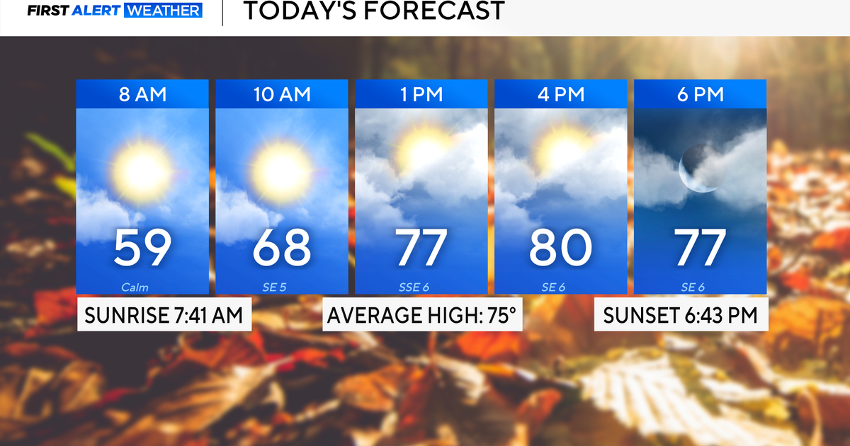 Rain chances on the rise for North Texas this week
October 26, 2026 / 8:16 AM CDT / CBS Texas North Texas woke up to partly to mostly cloudy skies and high temperatures in the 50s and 60s. You'll want to grab that light jacket as you head out the door. We'll continue to…
-
 Severe storms may bring flooding to Texas this week
Heavy rain is likely to continue across the Texas Panhandle on Oct. 26, 2026, bringing even a possibility of flash flooding, per the National Weather Service. After a rainy Sunday, wet weather will likely continue to…
-
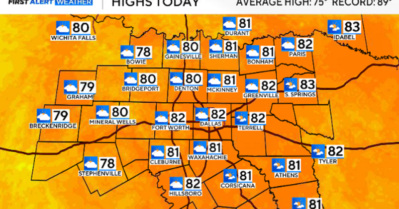 North Texas gets a warm, mild Sunday ahead of clouds and wind this week
October 25, 2026 / 6:51 AM CDT / CBS Texas Expect a warm and dry stretch of weather in North Texas over the next few days, with highs staying in the 80s, but we will see a pattern change as rain chances move in around…
-
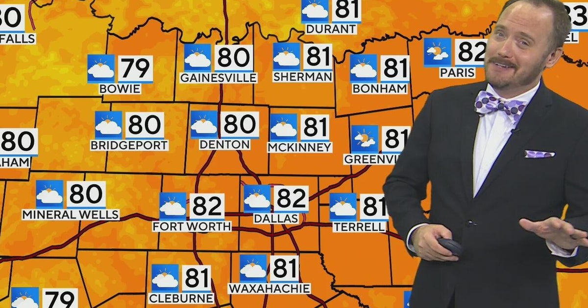 Warm, mild Sunday ahead for North Texas
CBS News Bay Area Morning Edition Weekend 6am WBZ This Morning 8am CBS Colorado Mornings Weekend CBS News Los Angeles Weekend 6am CBS Miami News Sunday Morning CBS News New York Sunday 8am KDKA News This Morning Sunday…
-
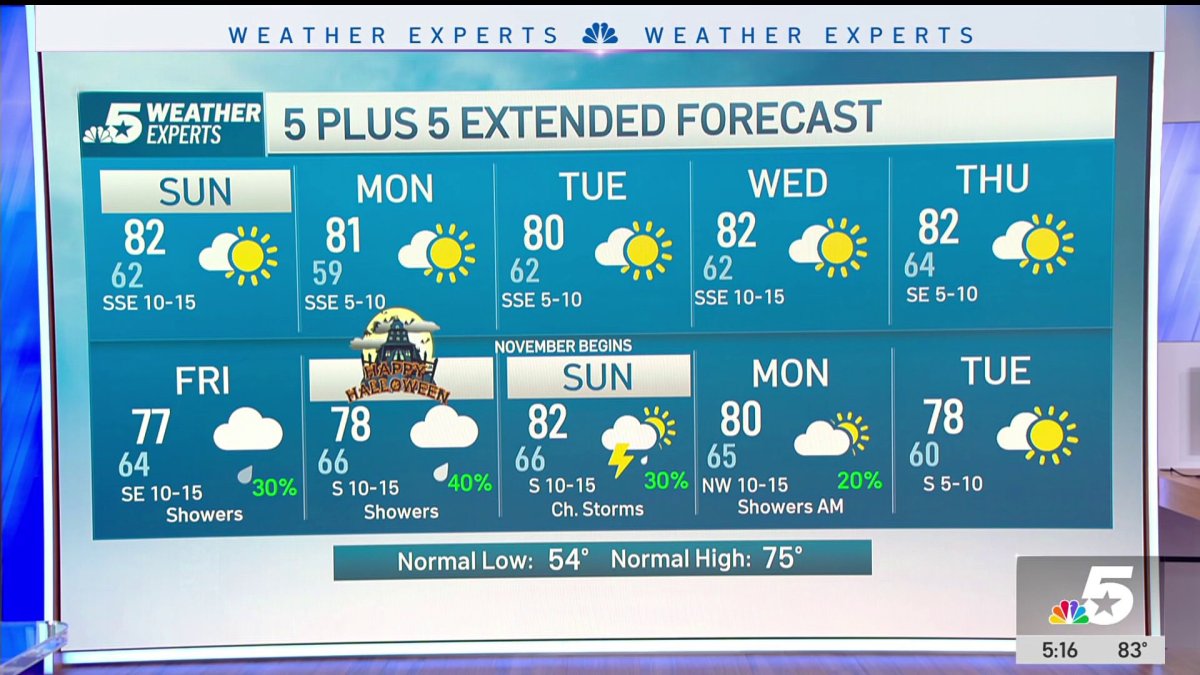 NBC 5 Forecast: A quiet weather pattern continues for North Texas
NBC 5 Dallas-Fort Worth NBC 5 Forecast: A quiet weather pattern continues for North Texas NBC 5 Forecast: Above normal temps, but still nice NBC 5 Forecast: Cool mornings and pleasant afternoons for North Texas
-
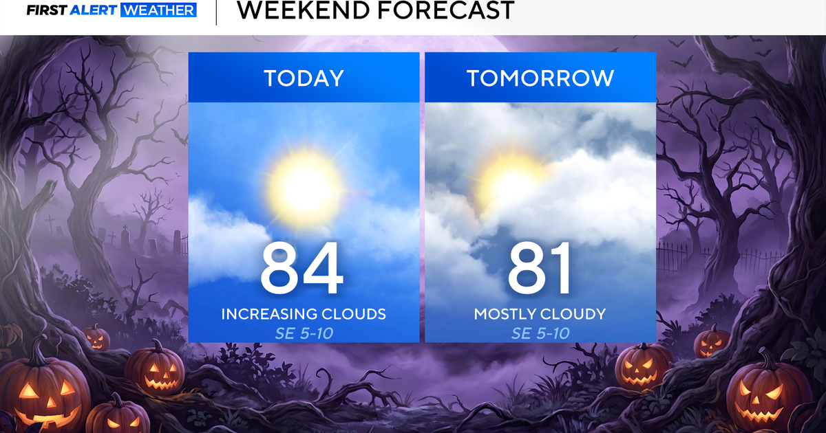 North Texas seeing rain chances return next week
October 24, 2026 / 7:21 AM CDT / CBS Texas North Texas was off to a seasonable start on Saturday morning, with temperatures mainly in the 50s. Temperatures will remain above average this weekend, with highs in the lower…
-
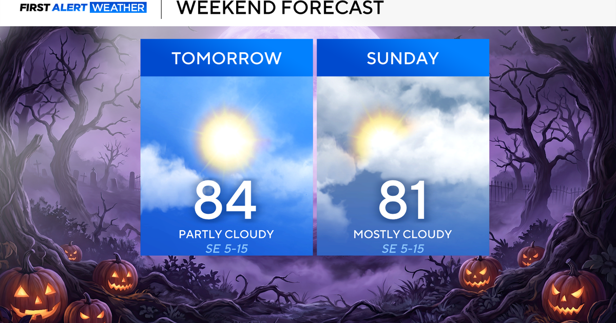 Clouds build in over the weekend as temperatures stay above average in the 80s across North Texas
October 23, 2026 / 8:00 AM CDT / CBS Texas North Texans are waking up to temperatures mainly in the 50s and 60s on Friday morning, with some clouds across portions of the area. In the afternoon and into the weekend…
- Video: What the Super El Niño Means for Texas This Winter
The Gilmer Mirror
-
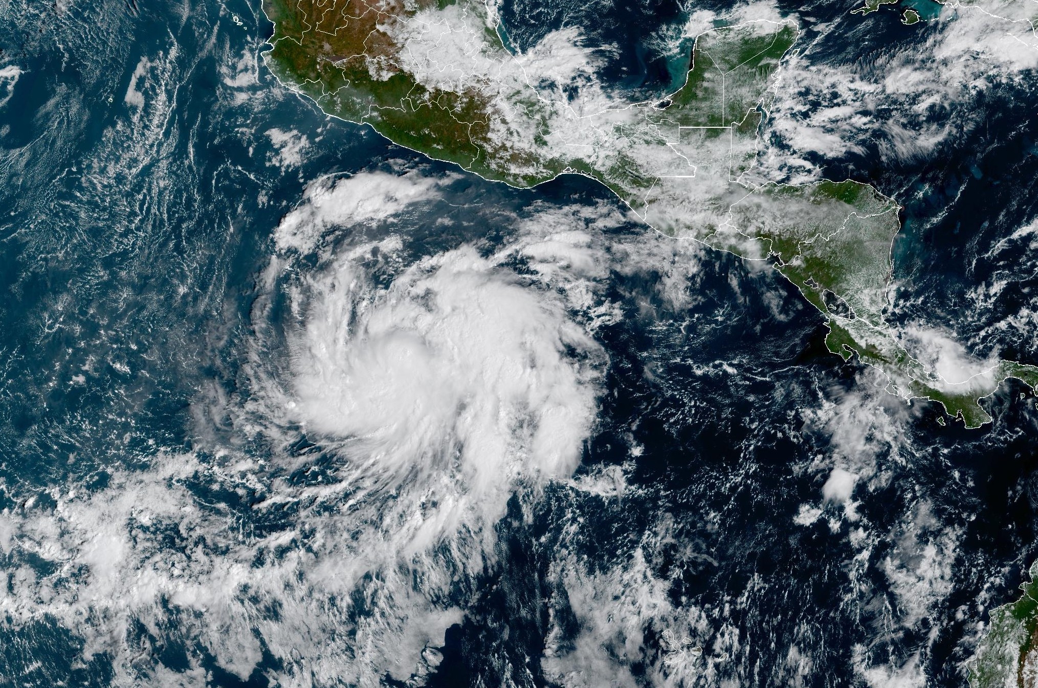 Tropical Storm Vance forms near Mexico. Will it affect Texas?
From there, some weather models show that moisture from Vance could move into parts of South Texas, bringing enhanced rain chances to places like the Rio Grande Valley, San Antonio, and Corpus Christi. Exactly when…
-
 Josephine in Atlantic drifts away, but Pacific moisture might spoil Halloween for Texas
Subtropical Storm Josephine in the North Atlantic is racing away from the United States, while moisture from a strengthening eastern Pacific storm could bring rain to Texas around Halloween next week. Josephine's center…
Sun & moon
Almanac
MonthlyCrockett, records since 1904. Normals 1991–2020. Data from NOAA's Regional Climate Centers (ACIS).
Nearby
Forecasters' discussion
From the National Weather Service office in HGX, issued 3 hrs ago
Key Messages
- Slightly drier conditions remain over the area through Monday.
- Weak upper level disturbances and increasing Gulf moisture will bring low-end chances for showers/storms Tuesday onward.
- Moderate onshore winds and building seas will result in Caution conditions over the marine waters through Tuesday.
Discussion
Issued at 1145 PM CDT Sun Oct 25 2026
Benign conditions are expected tonight with light variable winds and mostly cloudy skies. The lows will be a few degrees warmer tonight, ranging in the mid 50s over the Piney Woods region, the upper 50s to mid 60s for the rest of the inland portions, and the lower 70s along the coast. We could once again see isolated areas with patchy fog developing during the early morning hours, and should burn off quickly around sunrise.
Models have backed off a little with tomorrow's rain chances, and now places the higher rain chances over Matagorda Bays adjacent waters. This coincides with my thinking yesterday, where I mentioned that I think we could still be influenced by the mid to upper level ridge positioned over Louisiana...enough to keep rain chances over most of Southeast Texas fairly low. The forecast now has less than 10% chance of rain for Monday for the majority of the CWA, accompanied by partly cloudy skies and east winds at 5 to 10 mph. Infrequent gusts of 15 to 20 mph will be possible closer to the coasts. The highs will generally be in the lower 80s, with isolated spots possibly reaching the mid 80s. Moisture from the Western Gulf will move in from the Matagorda Bay region Monday night, keeping skies mostly cloudy overnight. This will also bring in warmer nighttime temperatures, with lows ranging in the upper 50s over the Piney Woods region and the lower to upper 60s for the rest of the inland portions.
As an upper level trough moves across the Southern Plains Tuesday morning, the mid level ridge will continue to progress further east, into Southeast CONUS. Having less of the ridge influence and a little more moisture to work with, rain chances will increase, mainly for areas west of I-45. Under a southeast flow, PWATs will continue to rise Tuesday night into Wednesday, ranging between 1.3- 1.8 inches and lead to slightly higher chances of showers and thunderstorms. East winds will briefly return on Thursday along with drier air, thus, we are not expecting as much rain activity that day. Advancing into Friday and Saturday, models point out another healthy surge of moisture moving through the region as a coastal trough potentially develops along the Texas coast.
Cotto
Aviation
(12Z TAF Issuance) Issued at 705 AM CDT Mon Oct 26 2026
VFR conditions will prevail through the period. Winds will be light out of the east-southeast today, becoming light and variable overnight into Tuesday morning.
Bailey
Marine
Issued at 1145 PM CDT Sun Oct 25 2026
Caution Flags remain in effect through Monday night for moderate east winds and Seas of 4-6 feet, possibly reaching 7 feet offshore. There is also a moderate to high risk for strong rip currents along the Gulf facing beaches. Winds relax a bit and seas subside a foot or two Tuesday into Wednesday. Light to occasionally moderate east winds and seas between 3-5 feet will continue through the rest of the week.
Rain chances are expected to return this week as the ridge shifts east and surface moisture converges over the Western Gulf waters. Expect isolated to scattered showers and thunderstorms most days. Locally higher winds and seas could occur in and near strong storms.
Cotto
Forecasts, observations and alerts in the United States come from the National Weather Service (NOAA); radar from NOAA's Multi-Radar Multi-Sensor system; satellite imagery from NASA's Global Imagery Browse Services (GIBS) and NOAA's GOES satellites; the map from the U.S. Geological Survey's National Map; air quality from AirNow (EPA and its partners); hurricane information from the National Hurricane Center; climate normals and records from NOAA's Regional Climate Centers (ACIS). Forecasts outside the United States and the UV index: MET Norway (CC BY 4.0); observations outside the U.S.: airport reports via NOAA's Aviation Weather Center. Place names: GeoNames (CC BY 4.0). Data are copied on a schedule and may lag the sources; for warnings that affect your safety, follow your local National Weather Service office and emergency officials. Weather news is drawn from the 4Conservative index and reflects what the press published. Terms of use. How to use Weather