Install
The Village, OK Weather
Current conditions
Observed at Oklahoma City, Wiley Post Airport · 33 min ago
Forecast
10-day-
Sunday
Partly sunny, with a high near 79.
-
Sunday Night
Mostly cloudy, with a low around 61.
-
Monday
Partly sunny, with a high near 75.
National Weather Service forecast updated 2 days ago.
Hourly
Hourly forecast- Now70°
- 12 PM74°
- 1 PM76°
- 2 PM78°
- 3 PM79°
- 4 PM79°
- 5 PM78°
- 6 PM77°
- 7 PM74°
- 8 PM72°
- 9 PM70°
- 10 PM68°
- 11 PM66°
- Mon12 AM65°
- 1 AM64°
- 2 AM63°
- 3 AM62°
- 4 AM62°
- 5 AM61°
- 6 AM61°
- 7 AM61°
- 8 AM62°
- 9 AM63°
- 10 AM65°
10-day forecast
Details- ThuOct 22Sunny61°80°
- FriOct 23Mostly Sunny61°80°
- SatOct 24Mostly Sunny62°80°
- TodayOct 25Partly Sunny61°79°
- MonOct 26Partly Sunny17%59°75°
- TueOct 27Chance Rain Showers29%57°70°
- WedOct 28Mostly Sunny15%58°72°
- ThuOct 29Light rain0.46 in61°68°
- FriOct 30Cloudy57°66°
- SatOct 31Heavy rain1.08 in58°63°
Days after the National Weather Service's seven are MET Norway's outlook, a computer model with no forecaster's review.
Radar
Full mapWeather news near The Village
More weather news-
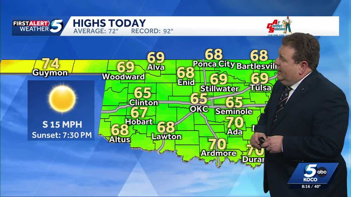 TIMELINE: Cool temperatures across Oklahoma before slight warmup
Oklahoma started Sunday with chilly temperatures in the 30s and 40s, but sunny skies and a light south wind are expected to bring highs of 65 degrees. Oklahoma residents experienced a cold start to Sunday, with…
-
 Weather Of The World: October 18
A view of the Garonne River at a historically low level due to a lack of rainfall, successive summer heat waves and the prefecture's low-water management policy in Toulouse, in southwestern France, on Oct. 14, 2026…
- Panaje Rainfall Record Brings More Wet Days to Coastal Karnataka
Panaje in Dakshina Kannada recorded Karnataka’s highest rainfall over a 24-hour period ending at 8.30 am on Saturday, with 16.7 centimetres of rain as heavy showers continued across the coastal belt. The rainfall was…
-
 Ocracoke travelers urged to reconsider plans as nor’easter nears
A long-duration coastal storm is forecast to bring coastal flooding, overwash and possible ferry disruptions around Ocracoke, prompting fresh warnings for late-October travel. Travelers bound for Ocracoke Island over…
-
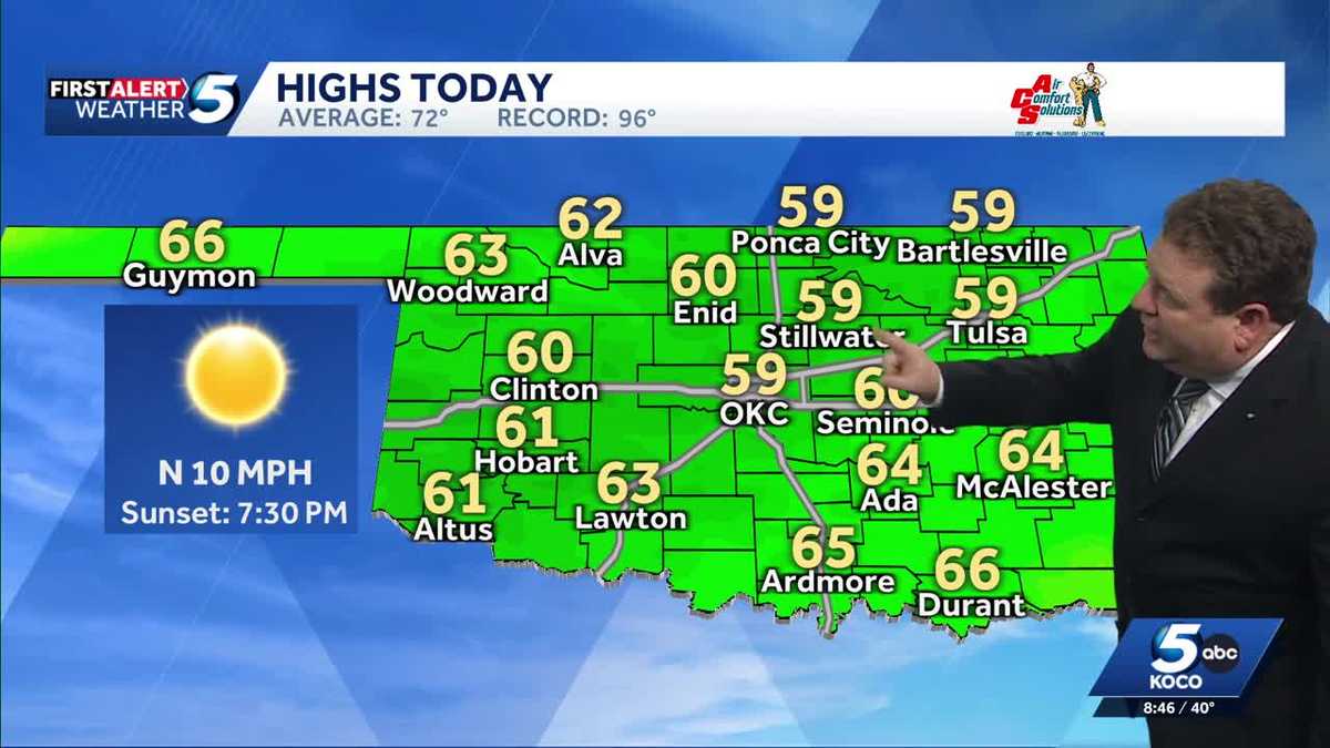 FORECAST: Cold start to weekend in Oklahoma
KOCO 5 Meteorologist Steve Carano shows you the cold start and the high temperatures Oklahoma will see on Saturday. >> Go to the KOCO weather page | Get KOCO on the Go | Subscribe to KOCO 5's YouTube channel | Sign up…
-
 Pennsylvania weather: Cold, cloudy, breezy in upper 40s
Alert!: Freeze watch Saturday night through Sunday morning (WBRE/WYOU) — Skies will clear and winds will diminish Saturday night with high pressure moving overhead. The clear sky and light winds will allow for cooling…
- Wind-Whipped Oklahoma City Friday Sets Stage for Big Fall Warmup
North winds will run 17 to 22 mph Friday, with gusts reaching up to 33 mph, according to the National Weather Service office in Norman. Rain is not expected, so the main outdoor nuisance will be the wind, especially for…
-
 Cold front brings cold weather to San Antonio. Here's the forecast.
San Antonio residents are enjoying cooler weather this week thanks to a strong Texas cold front. A jacket or long sleeves will still be needed on Saturday, October 16, as breezy conditions continue. According to the…
-
 20 Places Around the World Where Rainfall Reaches Extreme Levels
Did you know some places around the world make umbrellas seem barely worth the effort, mainly because it rains so much? The wettest regions on Earth are often found in mountainous regions, tropical forests, and coastal…
-
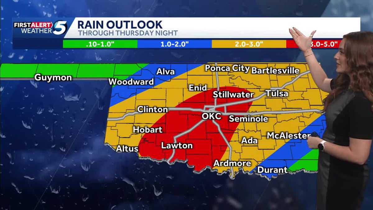 FORECAST: More rain and flooding risk for the rest of Thursday in Oklahoma
Oklahoma has already seen heavy rain and flooding, and we're not done just yet heading into the back half of Thursday. A flood watch remains in effect until 7 p.m. Thursday due to the expected rain. KOCO 5 Meteorologist…
Air quality
Acceptable. Unusually sensitive people should consider limiting prolonged outdoor exertion.
Forecast
- SunModerate (70)
- MonModerate (70)
- TueModerate (80)
Oklahoma City, OK reporting area · 2 hrs ago. Data from AirNow (EPA and its state, local and tribal partners); preliminary and subject to change.
Sun & moon
Almanac
MonthlyOklahoma City Area, records since 1890. Normals 1991–2020. Data from NOAA's Regional Climate Centers (ACIS).
Nearby
Forecasters' discussion
From the National Weather Service office in OUN, issued 4 hrs ago
Key Messages
Updated at 613 AM CDT Sun Oct 25 2026
- First wave of rainfall potential will primarily stay west of the area.
- The next chances of rain will be across the northwest half of the area Monday Night/Tuesday, and areawide late Thursday through the end of the week.
- Above normal temperatures through the upcoming week.
Near Term
(Through Sunday) Issued at 222 AM CDT Sun Oct 25 2026
High clouds will be on the increase today as both the upper ridge just to the east and the upper low over the Mojave Desert shift slightly eastward allowing the plume of mid and high level moisture to shift eastward into the area. The upper low is expected to open up into a trough today and begin ejecting northeast. The precipitation area over New Mexico will shift slowly east with some potential for additional development across west Texas and the panhandles today. Any precipitation today in the Norman forecast area will be confined to northwestern Oklahoma. Highs today will be near or slightly lower than yesterday thanks to the increasing clouds and the upper ridge shifting slightly east away from the area.
Short Term
(Sunday night through Tuesday night) Issued at 222 AM CDT Sun Oct 25 2026
The slower/farther west trend continues with any precipitation chances associated with the first wave ejecting from Arizona toward the Northern Plains. Precipitation chances are not expected to be any farther east than a Cherokee-Altus-Quanah line with this first wave, and 30+ percent chances of showers/storms is confined to far northwest Oklahoma north of a Gage-Woodward-Alva line tonight and tomorrow.
All of the operational synoptic models show a secondary wave developing over the Sierra Madre Oriental Mountains tonight and moving toward the Southern Plains and aiding in developing showers and thunderstorms Monday Night and Tuesday. With the forecast trajectory, the precipitation chances would be across the northwestern half of the forecast area with no significant rain chances across the southeast. The NBM produces POPs of 40-60 percent across portions of northwestern Oklahoma late Monday night. There is some uncertainty though in the development and evolution of this secondary wave as the vort max seems to appear over the Sierra Madres associated with convection, giving at least some possibility that this may be associated with convective feedback in the models, although all of the operational models are showing somewhat the same development.
Regardless of the specific evolution, we remain under southwesterly flow aloft and will continue to be quite warm.
Long Term
(Wednesday through Saturday) Issued at 222 AM CDT Sun Oct 25 2026
Any low-level cold air continues to be stuck in the northwestern United States or under the large scale mean trough over the western U.S., so our above average temperatures will persist through the rest of the week. A wave in the southwesterly flow aloft is shown by most models to approach late this week bringing more widespread rain chances Friday into Saturday. Temperatures will be modulated by clouds and precipitation, but will continue to be above average for this time of year.
Forecasts, observations and alerts in the United States come from the National Weather Service (NOAA); radar from NOAA's Multi-Radar Multi-Sensor system; satellite imagery from NASA's Global Imagery Browse Services (GIBS) and NOAA's GOES satellites; the map from the U.S. Geological Survey's National Map; air quality from AirNow (EPA and its partners); hurricane information from the National Hurricane Center; climate normals and records from NOAA's Regional Climate Centers (ACIS). Forecasts outside the United States and the UV index: MET Norway (CC BY 4.0); observations outside the U.S.: airport reports via NOAA's Aviation Weather Center. Place names: GeoNames (CC BY 4.0). Data are copied on a schedule and may lag the sources; for warnings that affect your safety, follow your local National Weather Service office and emergency officials. Weather news is drawn from the 4Conservative index and reflects what the press published. Terms of use. How to use Weather