Install
Edmond, OK Weather
Current conditions
Observed at Oklahoma City, Wiley Post Airport · 20 min ago
Forecast
10-day-
Friday Night
Partly cloudy, with a low around 60. South southeast wind around 9 mph.
-
Saturday
Partly sunny, with a high near 80. South southeast wind around 8 mph.
-
Saturday Night
Mostly cloudy, with a low around 60. South southeast wind around 6 mph.
National Weather Service forecast updated 17 hrs ago.
Hourly
Hourly forecast- Now74°
- 8 PM71°
- 9 PM69°
- 10 PM68°
- 11 PM67°
- Sat12 AM66°
- 1 AM65°
- 2 AM64°
- 3 AM63°
- 4 AM63°
- 5 AM62°
- 6 AM61°
- 7 AM60°
- 8 AM60°
- 9 AM62°
- 10 AM67°
- 11 AM71°
- 12 PM74°
- 1 PM77°
- 2 PM78°
- 3 PM79°
- 4 PM80°
- 5 PM78°
- 6 PM78°
Daily forecast
DetailsRadar
Full mapWeather news near Edmond
More weather news-
 Lacey Swope's Thursday Outdoor Forecast (Oct. 22, 2026)
News 9 is an excellent source of news coverage in Oklahoma City, Oklahoma, and throughout all of Oklahoma. Just click on our site and be more informed! Lacey Swope’s Thursday Outdoor Forecast (Oct. 22, 2026) News 9…
-
 Lacey Swope's Thursday Bus Stop Forecast (Oct. 22, 2026)
News 9 is an excellent source of news coverage in Oklahoma City, Oklahoma, and throughout all of Oklahoma. Just click on our site and be more informed! Lacey Swope’s Thursday Bus Stop Forecast (Oct. 22, 2026) News 9…
-
 Lacey Swope's Wednesday Outdoor Forecast (Oct. 21, 2026)
News 9 is an excellent source of news coverage in Oklahoma City, Oklahoma, and throughout all of Oklahoma. Just click on our site and be more informed! Lacey Swope’s Wednesday Outdoor Forecast (Oct. 21, 2026) News 9…
-
 Lacey Swope's Wednesday Bus Stop Forecast (Oct. 21, 2026)
News 9 is an excellent source of news coverage in Oklahoma City, Oklahoma, and throughout all of Oklahoma. Just click on our site and be more informed! Lacey Swope’s Wednesday Bus Stop Forecast (Oct. 21, 2026) News 9…
- Oklahoma's holiday weather forecast: What to expect Halloween to Christmas
Oklahomans are soon entering the holiday season, and temperatures have already started to drop. If you need to plan your Halloween costume based on the weather, or figure out how to best prepare for Thanksgiving…
-
 Heavy rain boosts Oklahoma lake levels but drought concerns remain
Recent rainfall in Oklahoma has improved lake levels and farm ponds, but the state remains in a significant drought and needs more rain for full recovery. Nearly a foot of rain in parts of Oklahoma last week brought…
-
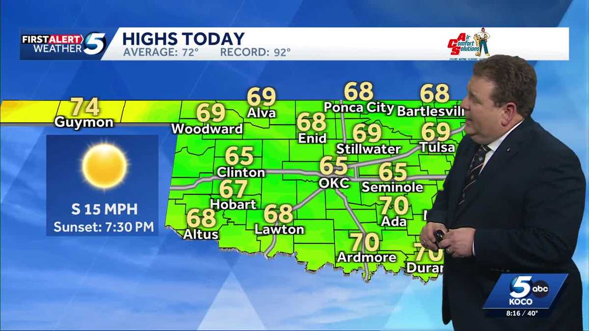 TIMELINE: Cool temperatures across Oklahoma before slight warmup
Oklahoma started Sunday with chilly temperatures in the 30s and 40s, but sunny skies and a light south wind are expected to bring highs of 65 degrees. Oklahoma residents experienced a cold start to Sunday, with…
-
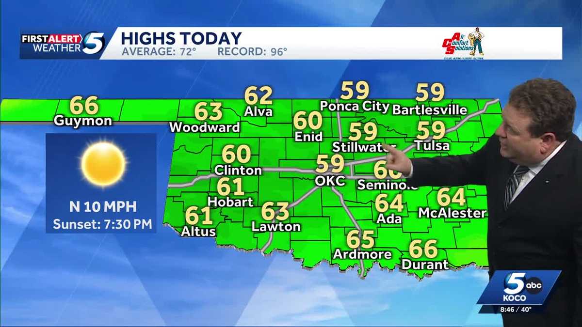 FORECAST: Cold start to weekend in Oklahoma
KOCO 5 Meteorologist Steve Carano shows you the cold start and the high temperatures Oklahoma will see on Saturday. >> Go to the KOCO weather page | Get KOCO on the Go | Subscribe to KOCO 5's YouTube channel | Sign up…
- Wind-Whipped Oklahoma City Friday Sets Stage for Big Fall Warmup
North winds will run 17 to 22 mph Friday, with gusts reaching up to 33 mph, according to the National Weather Service office in Norman. Rain is not expected, so the main outdoor nuisance will be the wind, especially for…
-
 Drought Improves for Much of Oklahoma
TULSA, Okla. — Since mid-summer, Oklahoma has quickly fallen into drought. The Drought Monitor, released each Thursday by the scientists with the University of Nebraska at Lincoln, shows improvement for much of the…
Air quality
Acceptable. Unusually sensitive people should consider limiting prolonged outdoor exertion.
Forecast
- FriUnhealthy for Sensitive Groups (110) Action day
- SatModerate (100)
- SunModerate (70)
Oklahoma City, OK reporting area · 1 hr ago. Data from AirNow (EPA and its state, local and tribal partners); preliminary and subject to change.
Sun & moon
Almanac
MonthlyOklahoma City Area, records since 1890. Normals 1991–2020. Data from NOAA's Regional Climate Centers (ACIS).
Nearby
- Oklahoma City 21 km
- Norman 48 km
- Moore 35 km
- Midwest City 24 km
- Yukon 30 km
- Del City 24 km
- Mustang 37 km
- Bethany 20 km
- El Reno 45 km
- Choctaw 26 km
- Guthrie 26 km
- Warr Acres 19 km
Forecasters' discussion
From the National Weather Service office in OUN, issued 1 hr ago
Key Messages
Updated at 539 PM CDT Fri Oct 23 2026
- Above normal temperatures and dry conditions through the weekend.
- Higher rain chances return to western areas early next week
- Rain chances increase again towards the end of next week.
Near Term
(Rest of today and tonight) Issued at 104 PM CDT Fri Oct 23 2026
Long wave ridging continues across Oklahoma and Texas today, with a pronounced long wave trough through California and the desert southwest. The daily weather pattern in the inter mountain west looks quite similar to a typical Oklahoma day in April. This feature has helped bring severe thunderstorms and heavy rainfall well to the west of our forecast area.
For us, only some high cirrus clouds riding the ridge, leaving most of us with dirty sunshine and warm temperatures. Surface features include a lee trough which stretches from a surface low in Montana all the way to eastern New Mexico. This surface trough relaxes a bit in the south plains, keeping our winds southerly and relatively light.
Without the high cloud cover, our temperatures may have made a run to be even higher than what the latest observations are showing. Even with the high clouds, most surface observations are showing temperatures in the mid 70s, shooting for highs in the lower 80s. Tonight, lows will only drop into the upper 50s, with some areas limited to near 60 in proximity to the high cloud cover.
Fox
Short Term
(Saturday through Sunday night) Issued at 104 PM CDT Fri Oct 23 2026
Through Sunday, temperatures will remain above normal for most of the area, and well above normal in our Texas Counties. The normal highs for this time of year are in the lower 70s, so temperatures near 80 degrees are nearly 10 degrees above normal.
Short range numerical modeling is in surprising agreement in the (lack of) movement of the long wave trough. Convective allowing models and synoptic scale models agree that the trough will make incremental eastward progress through Saturday, keeping rain and thunderstorm chances quite low (< 10%) in western Oklahoma. Heavy rainfall will be possible in the Texas panhandle, but all we should see is an increase in high cloud cover, and slightly "lower" temperatures...which will still be above normal.
Late Sunday, thunderstorm chances creep upward in far western Oklahoma, topping out around 40-60% in areas west of US 81 and north of I-40. After midnight on Sunday / early Monday morning, rain and thunderstorm chances remain low (30-50%), but very slowly creep eastward to near the I-35 corridor.
Fox
Long Term
(Monday through next Thursday) Issued at 104 PM CDT Fri Oct 23 2026
While the trough and rain chances move east, this should be a nice pattern. However, once the trough gets near central Oklahoma, the long fetch of subtropical moisture disappear faster than kids being told to clean up. More scientifically, the moisture plume evident on water vapor imagery today...finally dries up. While we may still see scattered rainfall or thunderstorms Monday or Tuesday, the chances decrease to 10-30% as the main trough approaches overhead. Latest ensemble blends put the rainfall amounts in our forecast area between 0 and about 1/2 inch. Rainfall would be more welcome, most of us won't see much more than a few showers.
Later in the week, the range of possibilities widens further. Long range forecasting is hard enough, but check out these ranges for OKC:
Thursday morning ensemble forecast guidance Low temp: between 48 and 61 F High temp: between 66 and 76 F PoP: between 1% and 46% Precip: between 0.00 and 0.89"
and that is just Thursday morning. The same wide ranges will continue into the Halloween weekend, although it is just out of this official forecast period. However, there is a potential for another heavy rain event just after this forecast range.
But...what is known now is there is strong (more than 60% of members) are showing increasing rain chances beginning on Thursday, as another upper level trough approaches, along with another fetch of subtropical jet. While the timing is uncertain, with the evidence in the wide range of ensemble data, it does appear that a pattern change to a wet pattern is likely by the end of next weekend. However, it is too early to make final decisions based on all of this, especially with the uncertainty of timing.
Forecasts, observations and alerts in the United States come from the National Weather Service (NOAA); radar from NOAA's Multi-Radar Multi-Sensor system; satellite imagery from NASA's Global Imagery Browse Services (GIBS) and NOAA's GOES satellites; the map from the U.S. Geological Survey's National Map; air quality from AirNow (EPA and its partners); hurricane information from the National Hurricane Center; climate normals and records from NOAA's Regional Climate Centers (ACIS). Forecasts outside the United States and the UV index: MET Norway (CC BY 4.0); observations outside the U.S.: airport reports via NOAA's Aviation Weather Center. Place names: GeoNames (CC BY 4.0). Data are copied on a schedule and may lag the sources; for warnings that affect your safety, follow your local National Weather Service office and emergency officials. Weather news is drawn from the 4Conservative index and reflects what the press published. Terms of use.