Install
Bellmore, NY Weather
Current conditions
Observed at Farmingdale - Republic Airport · 33 min ago
Forecast
10-day-
Today
Mostly sunny, with a high near 59. Northeast wind 14 to 17 mph, with gusts as high as 31 mph.
-
Tonight
Mostly cloudy, with a low around 46. North wind around 14 mph, with gusts as high as 29 mph.
-
Thursday
Sunny, with a high near 64. North wind around 15 mph, with gusts as high as 26 mph.
National Weather Service forecast updated 7 hrs ago.
Hourly
Hourly forecast- Now49°
- 10 AM52°
- 11 AM53°
- 12 PM55°
- 1 PM57°
- 2 PM59°
- 3 PM59°
- 4 PM59°
- 5 PM59°
- 6 PM57°
- 7 PM56°
- 8 PM54°
- 9 PM52°
- 10 PM51°
- 11 PM50°
- Thu12 AM50°
- 1 AM49°
- 2 AM48°
- 3 AM48°
- 4 AM48°
- 5 AM47°
- 6 AM47°
- 7 AM46°
- 8 AM48°
10-day forecast
Details- TodayOct 21Mostly Sunny46°59°
- ThuOct 22Sunny44°64°
- FriOct 23Sunny42°55°
- SatOct 24Sunny43°56°
- SunOct 25Sunny48°61°
- MonOct 26Sunny50°65°
- TueOct 27Mostly Sunny47°62°
- WedOct 28Cloudy51°58°
- ThuOct 29Cloudy50°60°
- FriOct 30Cloudy56°64°
Days after the National Weather Service's seven are MET Norway's outlook, a computer model with no forecaster's review.
Radar
Full mapWeather news near Bellmore
More weather news-
 Sunny stretch of weather continues with fall-like temperatures
CBS News - The 5:33 | Legacy of the LIRR Massacre - On The Dot with David Schechter: Wildfires & Climate Change Sunny stretch of weather continues with fall-like temperatures Union workers locked out of largest East…
-
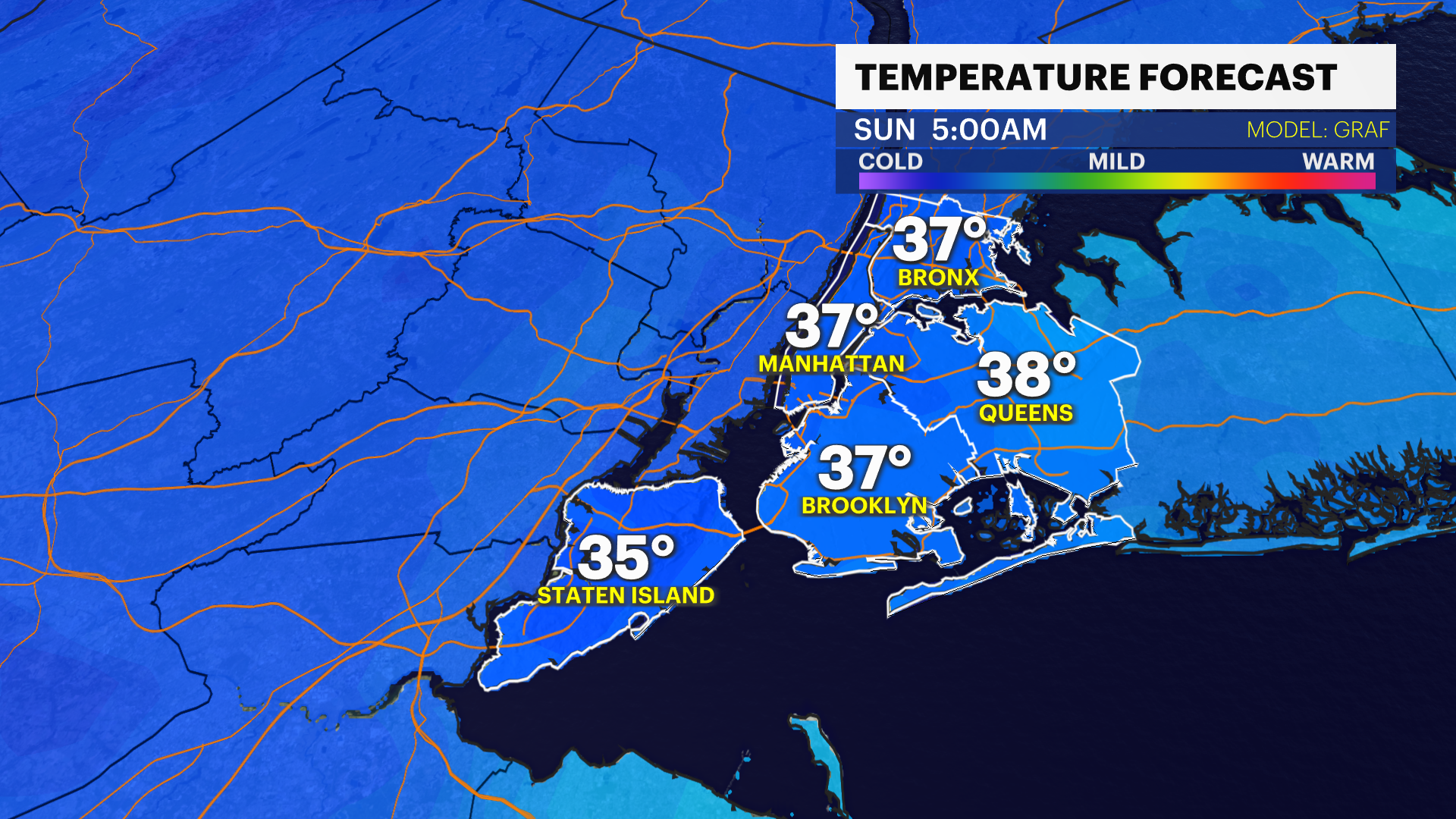 Blast of cold brings a chilly weekend to the Bronx
Oct 17, 2026, 5:45 AM A damp and breezy start to the morning. Windy & feels like only 50-degrees this afternoon Freezing temperatures are not expected Sunday morning for Long Island, but it will feel like the low 30s…
-
 Heavy rain, colder temps moving through New York City
CBS News - The 5:33 | Legacy of the LIRR Massacre - On The Dot with David Schechter: Wildfires & Climate Change Heavy rain, colder temps moving through New York City First Alert Weather: Severe thunderstorms Friday…
-
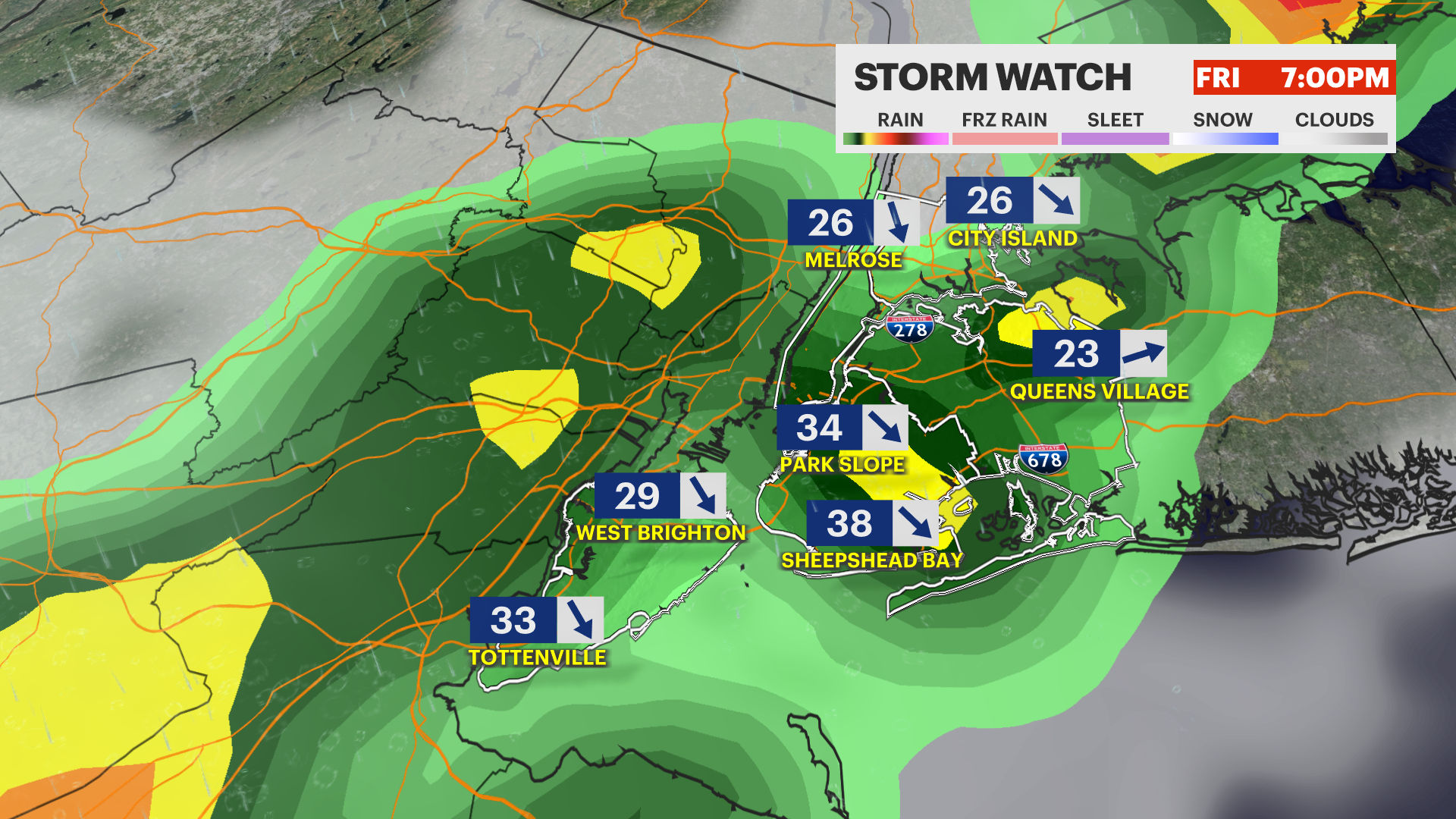 STORM WATCH: Strong to severe thunderstorms today with a dramatic drop in temps this weekend in the Bronx
News12 | Long Island STORM WATCH: Strong to severe thunderstorms today with a dramatic drop in temps this weekend in the Bronx Keep umbrellas handy. Another round of gusty storms arrives this evening. Oct 16, 2026…
- NYC Weather: Warm Wednesday, Rainy Friday, Chilly Weekend
New York City is starting Wednesday clear and around 67 degrees, with one more warm, humid day ahead before fall makes a forceful return. Skies should stay mostly sunny for much of the day, with temperatures climbing to…
-
 Freeze alerts stretch from Missouri to New York for Sunday
Temps drop for millions across the Central Plains, Midwest, Northeast The first real taste of fall is settling in for millions, including a few first frosts and freezes of the season for some in the Midwest and East…
-
 First Alert Weather: Bright sunshine, crisp air for Sunday in New York - 10/17/26
CBS News Detroit Weekend 11pm CBS News Los Angeles Weekend 8pm CBS News Philadelphia Weekend KDKA News Weekend 11pm CBS News Texas Weekend 10pm
-
 First Alert Weather: Clear skies with chilly temps Sunday in New York - 10/17/26
CBS News Bay Area Evening Edition Weekend 6pm CBS News Detroit Weekend 6pm CBS News Los Angeles Weekend 6pm CBS News Philadelphia 7:30pm Health Watch on CBS News Sacramento CBS News Texas Saturday 5pm
-
 Dangerous Freeze Warnings for 7 Counties in New York as Temperatures Plummet
Freeze Warnings take effect tonight across parts of New York, with lows in the upper 20s to around 30 expected from the Hudson Valley to Buffalo. The warnings run into 9 a.m. EDT Sunday. Frost and freeze conditions…
-
 First Alert Weather: Feels like November Saturday in New York - 10/17/26
CBS News Bay Area Morning Edition Weekend 6am WBZ This Morning 8am CBS News Chicago Saturday 8am CBS Colorado Mornings Weekend CBS News Los Angeles Weekend 6am CBS News Miami This Morning 9am WCCO News Saturday Morning…
Air quality
Air quality is satisfactory, and air pollution poses little or no risk.
Forecast
- WedGood (26)
Long Island Region, NY reporting area · 1 hr ago. Data from AirNow (EPA and its state, local and tribal partners); preliminary and subject to change.
Sun & moon
Almanac
MonthlyNew York-Kennedy Airport Area, records since 1948. Normals 1991–2020. Data from NOAA's Regional Climate Centers (ACIS).
Nearby
- New York City 41 km
- Brooklyn 36 km
- Queens 26 km
- Manhattan 39 km
- The Bronx 35 km
- New Rochelle 35 km
- Mount Vernon 38 km
- Brentwood 27 km
- Hempstead 9 km
- Levittown 6 km
- Freeport 5 km
- West Babylon 16 km
Forecasters' discussion
From the National Weather Service office in OKX, issued 2 hrs ago
What Has Changed
Updated for Aviation.
Key Messages
1) Mainly dry conditions will continue into early next week with gusty N-NE winds continuing through the end of this week.
2) Minor coastal flooding expected across the south shore back bays of Nassau, western portions of the Great South Bay, and lower NY Harbor with late this afternoon/early evening high tide. Additional localized minor coastal flooding possible on Thursday.
Key Message 1
The low pressure/nor'easter located about 350 miles southeast of Fire Island will continue meandering today before gradually picking up speed tonight, then track ENE-NE away from the coast Thursday into Friday.
The main sensible weather impact will be from the continuation of gusty N-NE winds, especially close to the coast. Gusts 25-35 mph are anticipated with a low chance of a few immediate coast locations reaching 40 mph, mainly along the southeast coast of Long Island. Further inland, gusts 20-25 mph are expected. Gusts may become occasional or end away from the coast tonight where gusts 25-35 mph remain possible. By Thursday, gusts should be weaker as the storm starts moving further offshore.
Otherwise, a weak surface trough/cold front will move across the northeast late Thursday into Thursday night. This is associated with a fast moving northern stream trough that will help push the storm well offshore. Behind these systems, high pressure will reestablish itself over southeast Canada Thursday night and then builds over the northeast Friday into the weekend. The high will remain in control into early next week.
The forecast is largely dry through the next week. The only exception is for the east end/forks of Long Island where a brief shower is possible this evening as some moisture could pivot well NW of the offshore storm. There is a good amount of low level dry air to overcome, so it may just end up being a few sprinkles.
Mid and upper level clouds will increase from the SE through the day today with mostly cloudy conditions likely for eastern half of the area. These clouds will diminish late tonight into Thursday. Mostly clear conditions are then forecast through early next week.
The warmest day for the rest of the week will be Thursday where highs will reach the low to mid 60s. Temperatures should then be a bit below normal until a warming trend begins early next week.
Outlook For 12z Thursday Through Sunday
Thursday and Friday: VFR. N winds G15-20kt.
Saturday and Sunday: VFR.
Detailed information, including hourly TAF wind component forecasts, can be found at: https:/www.weather.gov/zny/n90
Forecasts, observations and alerts in the United States come from the National Weather Service (NOAA); radar from NOAA's Multi-Radar Multi-Sensor system; satellite imagery from NASA's Global Imagery Browse Services (GIBS) and NOAA's GOES satellites; the map from the U.S. Geological Survey's National Map; air quality from AirNow (EPA and its partners); hurricane information from the National Hurricane Center; climate normals and records from NOAA's Regional Climate Centers (ACIS). Forecasts outside the United States and the UV index: MET Norway (CC BY 4.0); observations outside the U.S.: airport reports via NOAA's Aviation Weather Center. Place names: GeoNames (CC BY 4.0). Data are copied on a schedule and may lag the sources; for warnings that affect your safety, follow your local National Weather Service office and emergency officials. Weather news is drawn from the 4Conservative index and reflects what the press published. Terms of use.