Install
South Vineland, NJ Weather
Current conditions
Forecast for this hour (no station report in the last two hours)
Forecast
10-day-
Today
Areas of frost before 9am. Sunny, with a high near 68. West wind 0 to 5 mph.
-
Tonight
Mostly clear, with a low around 45. Northwest wind 0 to 5 mph.
-
Tuesday
Sunny, with a high near 67. Northeast wind 0 to 5 mph.
National Weather Service forecast updated 10 hrs ago.
Hourly
Hourly forecast- Now65°
- 3 PM67°
- 4 PM67°
- 5 PM67°
- 6 PM63°
- 7 PM58°
- 8 PM55°
- 9 PM51°
- 10 PM50°
- 11 PM49°
- Tue12 AM49°
- 1 AM48°
- 2 AM48°
- 3 AM48°
- 4 AM47°
- 5 AM47°
- 6 AM47°
- 7 AM46°
- 8 AM47°
- 9 AM51°
- 10 AM57°
- 11 AM60°
- 12 PM63°
- 1 PM65°
10-day forecast
Details- TodayOct 26Areas Of Frost then Sunny45°68°
- TueOct 27Sunny39°67°
- WedOct 28Mostly Sunny44°66°
- ThuOct 29Mostly Sunny48°69°
- FriOct 30Sunny50°74°
- SatOct 31Mostly Sunny49°70°
- SunNov 1Mostly Cloudy then Slight Chance Rain Showers40%52°69°
- MonNov 2Showers0.05 in49°72°
- TueNov 3Partly cloudy60°73°
- WedNov 4Cloudy63°73°
Days after the National Weather Service's seven are MET Norway's outlook, a computer model with no forecaster's review.
Radar
Full mapWeather news in New Jersey
More weather news-
 Sunshine Sticks Around New Jersey, but Cooler Days Arrive Before the Weekend
Home » New Jersey » Sunshine Sticks Around New Jersey, but Cooler Days Arrive Before the Weekend New Jersey, Weather Report NEW JERSEY — Sunshine dominates the forecast from Tuesday, October 20, through Saturday…
-
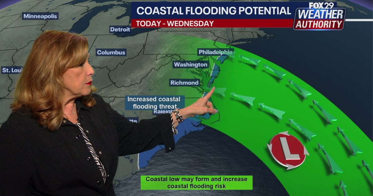 Coastal flooding threat looms for New Jersey, Delaware as nor'easter develops offshore
A developing nor'easter off the Carolina coast is expected to stay offshore but will still bring high winds, heavy surf, and possible coastal flooding along the Jersey Shore and Delaware beaches this week. PHILADELPHIA…
-
 El Niño: When the Pacific makes waves in New Jersey
You’ve probably heard that El Niño, a natural climate pattern that begins when warm ocean water develops in the tropical Pacific, is unfolding right now. El Niño is expected to strengthen through the fall and have its…
-
 New Jersey Columbus Day Weekend Weather Takes a Wet Turn as Rain Threatens Sunday and Monday Plans
Home » New Jersey » Jersey Shore » Ocean County » Jackson Township » New Jersey Columbus Day Weekend Weather Takes a Wet Turn as Rain Threatens Sunday and Monday Plans Jackson Township, New Jersey, Ocean County NEW…
-
 Farmers’ Almanac Predicts Thanksgiving Weather Forecast
Oct 26, 2026 at 12:16 PM EDT The Farmers’ Almanac has predicted that weather across the U.S. will be fairly typical of late November over Thanksgiving week, with a mix of cool and mild conditions, snow possible in some…
-
 This October is on track to be one of the warmest on record in the Twin Cities | Oct. 26, 2026
CBS News Minnesota is a local news organization that is part of CBS News and Stations. Also referred to as WCCO-TV and channel 4, CBS News Minnesota offers local breaking news, weather coverage and investigative…
-
 Halloween eye safety dos and don’ts: Skip store-bought costume contacts, go easy on glitter
CBS News Minnesota is a local news organization that is part of CBS News and Stations. Also referred to as WCCO-TV and channel 4, CBS News Minnesota offers local breaking news, weather coverage and investigative…
-
 Eyeball olives and a marshmallow spiderweb: How to make a scary snack board
CBS News Minnesota is a local news organization that is part of CBS News and Stations. Also referred to as WCCO-TV and channel 4, CBS News Minnesota offers local breaking news, weather coverage and investigative…
-
 Get your flu shot now, as it may take about 2 weeks to take full effect
Scott Swanson, vice president of Cub Pharmacy, says flu season typically peaks in December and January, so a shot at the end of October protects you by mid-November, ahead of holiday gatherings. Walk-ins and…
-
 A strong cyclone is nearing India’s eastern coast
A potentially dangerous cyclone is rapidly intensifying in the Bay of Bengal and is expected to strike eastern India as soon as late Tuesday into early Wednesday local time. The storm, Cyclone Arnab, is growing into…
Air quality
Acceptable. Unusually sensitive people should consider limiting prolonged outdoor exertion.
Forecast
- MonModerate (60)
- TueModerate (55)
Southern Bay, NJ reporting area · 1 hr ago. Data from AirNow (EPA and its state, local and tribal partners); preliminary and subject to change.
Sun & moon
Almanac
MonthlyMillville Municipal Airport, records since 1943. Normals 1991–2020. Data from NOAA's Regional Climate Centers (ACIS).
Nearby
- Philadelphia 57 km
- Camden 54 km
- Wilmington 56 km
- Cherry Hill 54 km
- Vineland 4 km
- Jackson 39 km
- Sicklerville 31 km
- Mount Laurel 56 km
- Dover 53 km
- Atlantic City 53 km
- Sewell 37 km
- Pennsauken 57 km
Forecasters' discussion
From the National Weather Service office in PHI, issued 59 min ago
What Has Changed
No significant weather concerns this week.
Key Messages
1. No significant weather concerns this week.
Discussion
KEY MESSAGE 1...No significant weather concerns this week.
High pressure centered near the Ohio and Tennessee Valleys will sag into the Gulf Coast states. A weak cold front will pass through the region tonight, and then Canadian high pressure builds into the Northeast on Tuesday. That high will eventually move offshore as the week progresses.
The front that will pass through the region tonight will pass through dry, and high temperatures on Tuesday will be a few degrees cooler compared to today. Some patchy fog may develop late tonight, however, as the drier air may not filter down until Tuesday afternoon. As the week progresses, high temperatures will warm into the upper 60s and low 70s, and then into the mid 70s or so by Friday. Temperatures will still be slightly above normal for next weekend, but a bit cooler compared to Friday. The next chance for precipitation does not come until at least next Sunday or perhaps later. A dry stretch of weather is ahead.
Aviation
The following discussion is for KPHL, KPNE, KTTN, KABE, KRDG, KILG, KMIV, KACY and surrounding areas.
Rest of today...VFR/SKC. W-NW winds 5 to 10 kt. High confidence.
Tonight...VFR. Cannot rule out patchy fog resulting in localized VSBY restrictions. Light N winds, becoming NE 5 to 10 kt after 06Z. Moderate confidence.
Tuesday...VFR. NE winds 5 to 10 kt. High confidence.
Outlook...
Tuesday night through Saturday...VFR. No significant weather.
Forecasts, observations and alerts in the United States come from the National Weather Service (NOAA); radar from NOAA's Multi-Radar Multi-Sensor system; satellite imagery from NASA's Global Imagery Browse Services (GIBS) and NOAA's GOES satellites; the map from the U.S. Geological Survey's National Map; air quality from AirNow (EPA and its partners); hurricane information from the National Hurricane Center; climate normals and records from NOAA's Regional Climate Centers (ACIS). Forecasts outside the United States and the UV index: MET Norway (CC BY 4.0); observations outside the U.S.: airport reports via NOAA's Aviation Weather Center. Place names: GeoNames (CC BY 4.0). Data are copied on a schedule and may lag the sources; for warnings that affect your safety, follow your local National Weather Service office and emergency officials. Weather news is drawn from the 4Conservative index and reflects what the press published. Terms of use. How to use Weather