Install
Pennsauken, NJ Weather
Current conditions
Observed at Philadelphia, Northeast Philadelphia Airport · 1 hr ago
Forecast
10-day-
Today
Patchy frost before 9am. Sunny, with a high near 66. Northwest wind around 0 mph.
-
Tonight
Mostly clear, with a low around 41. West wind around 0 mph.
-
Monday
Sunny, with a high near 69. West wind 0 to 5 mph.
National Weather Service forecast updated 11 hrs ago.
Hourly
Hourly forecast- Now66°
- 4 PM66°
- 5 PM65°
- 6 PM63°
- 7 PM59°
- 8 PM53°
- 9 PM50°
- 10 PM48°
- 11 PM46°
- Mon12 AM45°
- 1 AM44°
- 2 AM43°
- 3 AM43°
- 4 AM42°
- 5 AM41°
- 6 AM41°
- 7 AM41°
- 8 AM42°
- 9 AM47°
- 10 AM54°
- 11 AM59°
- 12 PM63°
- 1 PM66°
- 2 PM68°
10-day forecast
Details- TodayOct 25Patchy Frost then Sunny41°66°
- MonOct 26Sunny50°69°
- TueOct 27Sunny42°66°
- WedOct 28Mostly Sunny46°65°
- ThuOct 29Mostly Sunny51°70°
- FriOct 30Sunny51°74°
- SatOct 31Mostly Sunny53°72°
- SunNov 1Cloudy0.39 in55°70°
- MonNov 2Rain0.80 in46°63°
- TueNov 3Partly cloudy40°49°
Days after the National Weather Service's seven are MET Norway's outlook, a computer model with no forecaster's review.
Radar
Full mapWeather news near Pennsauken
More weather news-
 Old Farmer’s Almanac Forecasts Rain, Snow Showers for Northeast on Thanksgiving
With autumnal foliage colors and cooler temperatures settling in across the Philadelphia region, it’s time to start our attentions to the upcoming holiday and winter season. Take a look at… The Almanac's Thanksgiving…
-
 When does the first frost hit your state? Here are the average dates
A light freeze of 29°F to 32°F is enough to kill buckwheat, tomatoes, peppers, and basil, according to University of Georgia Cooperative Extension. Meteorologists track freezes rather than frost, because a freeze is…
-
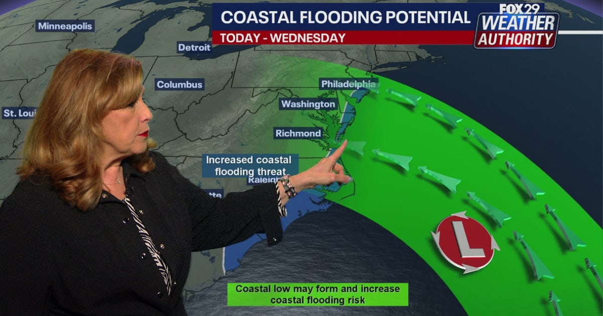 Coastal flooding threat looms for New Jersey, Delaware as nor'easter develops offshore
A developing nor'easter off the Carolina coast is expected to stay offshore but will still bring high winds, heavy surf, and possible coastal flooding along the Jersey Shore and Delaware beaches this week. PHILADELPHIA…
- Philadelphia Weather: Chilly Saturday, Sunny Week Ahead
Philadelphia is starting Saturday, October 17, under light rain and a raw north wind, with temperatures hovering around 50 degrees. The rain is a brief opening act, but the bigger story is the fast fall reset: a high…
-
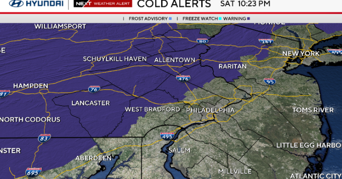 Sunny and chilly Sunday in Philadelphia area, freeze possible in some areas. Here's the weather forecast.
October 17, 2026 / 10:45 PM EDT / CBS Philadelphia Sunday starts cold with temperatures in the 30s and some spots at or below freezing north and west of Philadelphia. A freeze alert is in effect from 1 a.m. to 9 a.m…
- South Philadelphia Gets a Cold Sunday After Friday’s Storm Watch
South Philadelphia residents heading to the Eagles game at 1 p.m. Sunday should expect sunshine and temperatures in the 50s, with the 40s possible for morning tailgaters, FOX 29 Philadelphia reported. The chill follows…
-
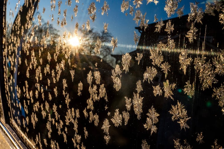 The National Weather Service issued a Sunday freeze warning for these Pa. counties
Upper Bucks, western Montgomery, and western Chester Counties could see temperatures as low as 31 degrees Fahrenheit Sunday, forecasters said. The National Weather Service issued a freeze warning for the early morning…
-
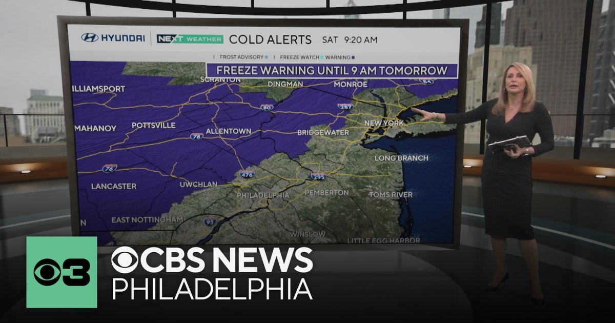 Freeze warning in Pennsylvania after wet Saturday | NEXT Weather
CBS News Freeze warning in Pennsylvania after wet Saturday | NEXT Weather Philadelphia region sees more than 20-degree drop in temperatures Saturday Camden Catholic beats Kipp Cooper Norcross and more in Week 6 of…
-
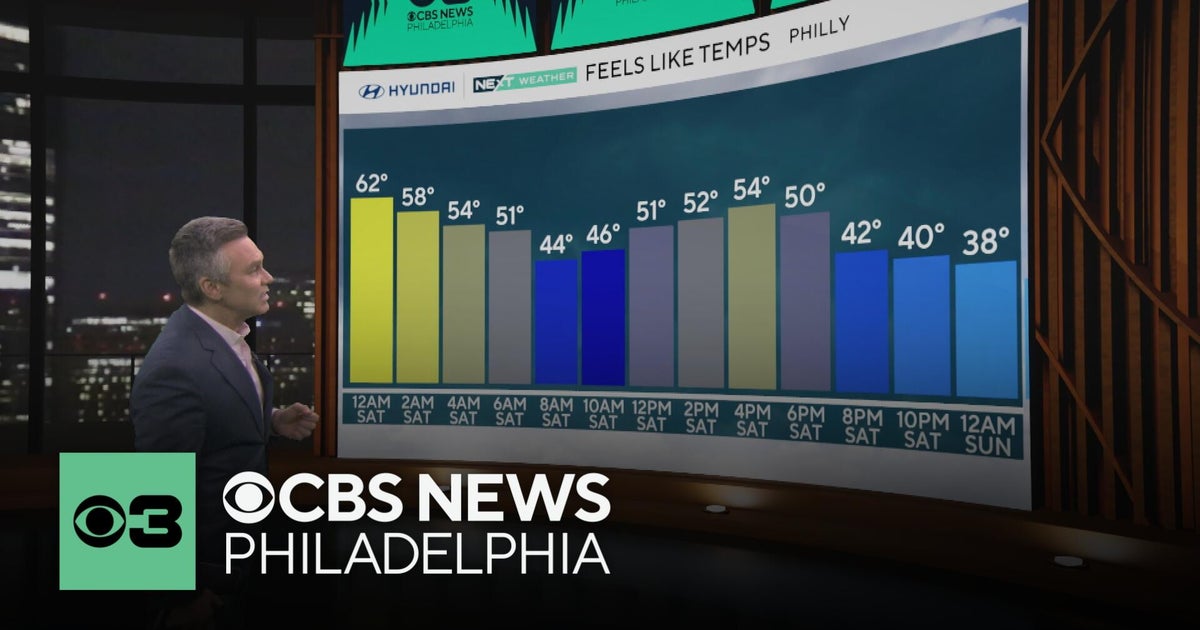 Philadelphia region sees more than 20-degree drop in temperatures Saturday
CBS News Philadelphia region sees more than 20-degree drop in temperatures Saturday Camden Catholic beats Kipp Cooper Norcross and more in Week 6 of Friday Football Frenzy For fans, LeBron James being a Sixer still…
-
 Sunshine Sticks Around New Jersey, but Cooler Days Arrive Before the Weekend
Home » New Jersey » Sunshine Sticks Around New Jersey, but Cooler Days Arrive Before the Weekend New Jersey, Weather Report NEW JERSEY — Sunshine dominates the forecast from Tuesday, October 20, through Saturday…
Air quality
Acceptable. Unusually sensitive people should consider limiting prolonged outdoor exertion.
Forecast
- SunModerate (65)
- MonModerate (65)
Riverline, NJ reporting area · 1 hr ago. Data from AirNow (EPA and its state, local and tribal partners); preliminary and subject to change.
Sun & moon
Almanac
MonthlyPhiladelphia Area, records since 1873. Normals 1991–2020. Data from NOAA's Regional Climate Centers (ACIS).
Nearby
- Philadelphia 9 km
- Trenton 39 km
- Camden 6 km
- Cherry Hill 3 km
- Bensalem 19 km
- Abington 19 km
- Jackson 26 km
- Levittown 29 km
- Havertown 22 km
- Sicklerville 28 km
- Mount Laurel 14 km
- Sewell 22 km
Forecasters' discussion
From the National Weather Service office in PHI, issued 20 min ago
What Has Changed
Issued Frost Advisories for portions of southern New Jersey and the Delmarva tonight where the growing season remains active.
Key Messages
1. One more round of frost impacts are expected tonight where the growing season continues.
2. Dry weather continues and above normal temperatures are expected for much of the week into the start of the weekend.
Discussion
KEY MESSAGE 1...One more round of frost impacts are expected tonight where the growing season continues.
Little change in the overall synoptic pattern continues as surface high pressure remains overhead. The high will begin to shift southward tonight allowing a light southwesterly return flow to develop. As a result, temperatures will begin to gradually moderate through Monday.
But before we reach the new week, one more round of chilly temperatures are expected tonight. Ideal radiational cooling conditions look to take place with light/calm winds and clear skies. NBM has been quite poor the past few days with the extent of radiational cooling, so have blended in some colder and better performing guidance over the past couple of nights (MOS/NBM10). This should allow most of the area to again see lows mainly in the mid 30s to low 40s around the region. Have issued one more set of Frost Advisories, mainly across extreme southern New Jersey and the Delmarva where the growing season remains active. Some areas of patchy shallow ground fog is also expected early Monday morning.
KEY MESSAGE 2...Dry weather continues and above normal temperatures are expected for much of the week into the start of the weekend.
As what has been the case for the past week or so, dry weather is expected to prevail over the next 5-7 days. However this time, above-normal temperatures for late October/early November are expected to be accompanied by this dry stretch.
Surface high pressure will largely be in control through much of the week, however there will be one dry cold front that is progged to cross through the area Monday night into Tuesday. From Tuesday and beyond, expansive high pressure is expected to dominate as upper level ridging develops over the majority of the Central-Eastern CONUS with positive 500 mb anomalies.
Aviation
The following discussion is for KPHL, KPNE, KTTN, KABE, KRDG, KILG, KMIV, KACY and surrounding areas.
Today...VFR/SKC. Southwest winds around 3-6 kt. High confidence.
Tonight...VFR/SKC. A few areas of localized patchy ground fog is possible after 09Z, especially at RDG and MIV so have included a brief tempo group. Winds light and variable to at times calm. High confidence overall, lesser confidence in where areas of ground fog may develop.
Monday...VFR/SKC. West-northwest winds around 5-10 kt. High confidence.
Outlook...
Monday night through Friday...VFR. No significant weather expected.
Forecasts, observations and alerts in the United States come from the National Weather Service (NOAA); radar from NOAA's Multi-Radar Multi-Sensor system; satellite imagery from NASA's Global Imagery Browse Services (GIBS) and NOAA's GOES satellites; the map from the U.S. Geological Survey's National Map; air quality from AirNow (EPA and its partners); hurricane information from the National Hurricane Center; climate normals and records from NOAA's Regional Climate Centers (ACIS). Forecasts outside the United States and the UV index: MET Norway (CC BY 4.0); observations outside the U.S.: airport reports via NOAA's Aviation Weather Center. Place names: GeoNames (CC BY 4.0). Data are copied on a schedule and may lag the sources; for warnings that affect your safety, follow your local National Weather Service office and emergency officials. Weather news is drawn from the 4Conservative index and reflects what the press published. Terms of use. How to use Weather