Install
Trenton, NJ Weather
Current conditions
Observed at Trenton-Mercer Airport · 1 hr ago
Forecast
10-day-
Saturday Night
Patchy frost after 4am. Mostly clear, with a low around 35.
-
Sunday
Patchy frost before 8am. Sunny, with a high near 66.
-
Sunday Night
Clear, with a low around 38.
National Weather Service forecast updated 2 days ago.
Hourly
Hourly forecast- Now37°
- 6 AM36°
- 7 AM36°
- 8 AM38°
- 9 AM43°
- 10 AM51°
- 11 AM57°
- 12 PM61°
- 1 PM63°
- 2 PM64°
- 3 PM66°
- 4 PM66°
- 5 PM64°
- 6 PM60°
- 7 PM54°
- 8 PM52°
- 9 PM48°
- 10 PM45°
- 11 PM43°
- Mon12 AM42°
- 1 AM42°
- 2 AM42°
- 3 AM41°
- 4 AM41°
10-day forecast
Details- ThuOct 22Sunny42°67°
- FriOct 23Sunny33°61°
- SatOct 24Patchy Frost then Sunny35°64°
- TodayOct 25Patchy Frost then Sunny38°66°
- MonOct 26Sunny47°69°
- TueOct 27Sunny42°66°
- WedOct 28Partly Sunny44°62°
- ThuOct 29Cloudy45°68°
- FriOct 30Mostly sunny43°59°
- SatOct 31Sunny39°58°
Days after the National Weather Service's seven are MET Norway's outlook, a computer model with no forecaster's review.
Radar
Full mapWeather news near Trenton
More weather news-
 First Alert Weather Day: Rainy, windy, falling temps
FOX19 | Cincinnati First Alert Weather Day: Rainy, windy, falling temps 18-year-old in custody after police standoff in Middletown Norwood firefighters rescue teen trapped in crashed stolen vehicle 3 kids, 1 adult…
-
 Sunshine Sticks Around New Jersey, but Cooler Days Arrive Before the Weekend
Home » New Jersey » Sunshine Sticks Around New Jersey, but Cooler Days Arrive Before the Weekend New Jersey, Weather Report NEW JERSEY — Sunshine dominates the forecast from Tuesday, October 20, through Saturday…
-
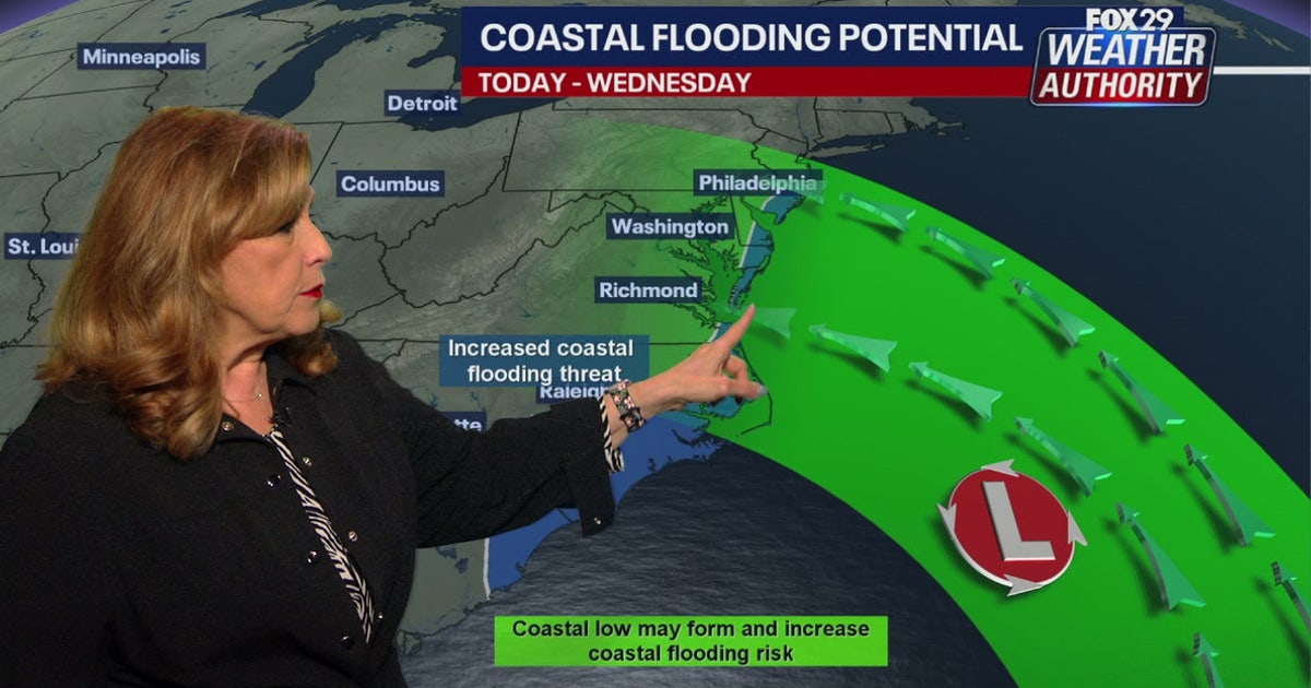 Coastal flooding threat looms for New Jersey, Delaware as nor'easter develops offshore
A developing nor'easter off the Carolina coast is expected to stay offshore but will still bring high winds, heavy surf, and possible coastal flooding along the Jersey Shore and Delaware beaches this week. PHILADELPHIA…
-
 El Niño: When the Pacific makes waves in New Jersey
You’ve probably heard that El Niño, a natural climate pattern that begins when warm ocean water develops in the tropical Pacific, is unfolding right now. El Niño is expected to strengthen through the fall and have its…
-
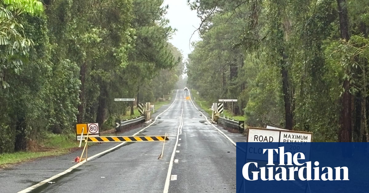 ‘Unusually large’ multi-state storm causing severe weather for Australia’s east – with more on the way
BoM predicts hail, damaging winds, flash flooding and power outages across southern Queensland, western NSW, the ACT and eastern Victoria on Sunday afternoon Large parts of eastern Australia were put on alert for severe…
-
 First Alert Weather: Freezing temps overnight for some parts of New York - 10/24/26
CBS News - The 5:33 | Legacy of the LIRR Massacre - On The Dot with David Schechter: Wildfires & Climate Change First Alert Weather: Freezing temps overnight for some parts of New York - 10/24/26 Trump, Obama make…
-
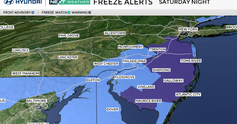 Frosty start to Sunday in Philadelphia region; fabulous fall weather for Eagles-Cowboys Monday
October 24, 2026 / 11:38 PM EDT / CBS Philadelphia Sunday will be a beautiful fall day in the Philadelphia region with plenty of sunshine, light winds and temperatures beginning to moderate after another frosty start…
-
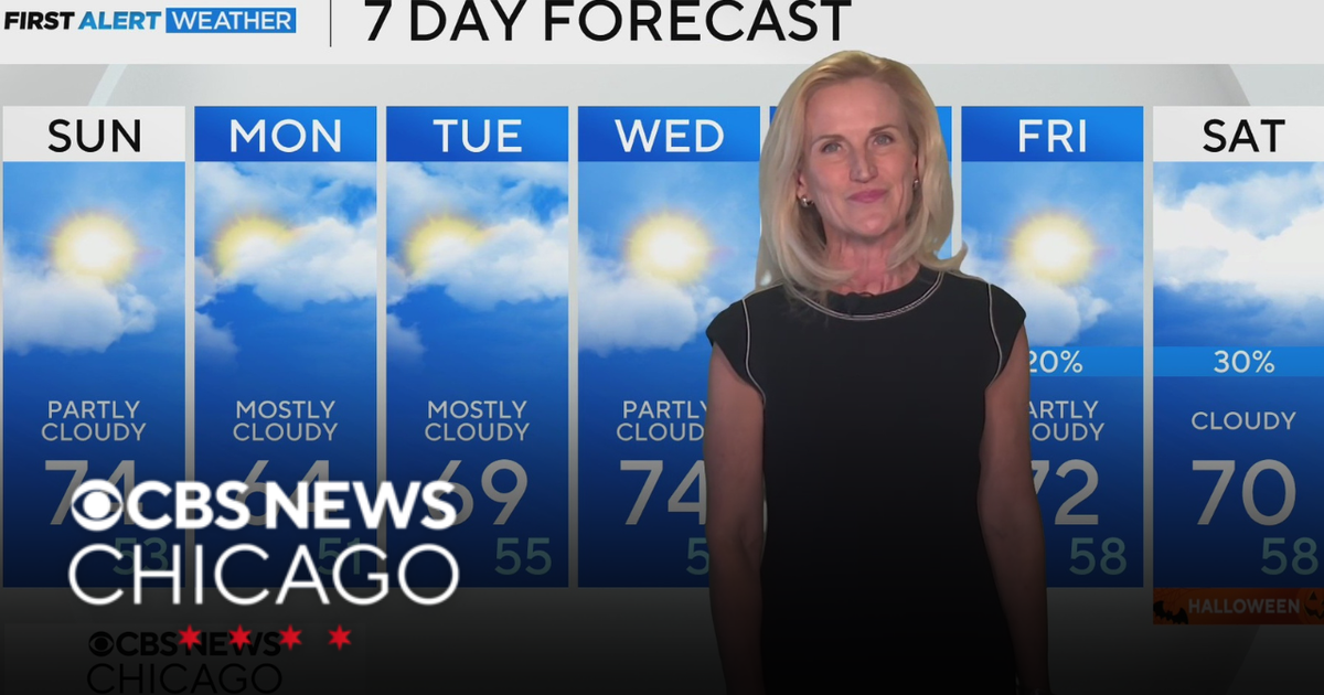 Scattered clouds for Saturday night in Chicago
CBS News Bay Area Evening Edition Weekend 5pm CBS News Philadelphia 7:30pm KDKA News at 7 CBS13 News Weekend 5pm CBS News Texas Saturday 5pm
-
 First Alert Weather: Sun and clouds Saturday in New York - 10/24/26
CBS News - The 5:33 | Legacy of the LIRR Massacre - On The Dot with David Schechter: Wildfires & Climate Change First Alert Weather: Sun and clouds Saturday in New York - 10/24/26 First Alert Weather: Near normal temps…
-
 Storm Boelo: Travel disrupted and events cancelled as UK hit by wind and rain
Fresh deluge of wet weather comes after Storm Austen brought strong winds to many regions on Friday Amber weather warnings have come into force as the worst of Storm Boelo could be set to hit parts of the UK. Storm…
Air quality
Acceptable. Unusually sensitive people should consider limiting prolonged outdoor exertion.
Forecast
- SunModerate (65)
- MonModerate (65)
Central, NJ reporting area · 1 hr ago. Data from AirNow (EPA and its state, local and tribal partners); preliminary and subject to change.
Sun & moon
Nearby
- Philadelphia 46 km
- Edison 44 km
- Camden 46 km
- Cherry Hill 40 km
- Bensalem 22 km
- New Brunswick 39 km
- Piscataway 43 km
- Abington 34 km
- Jackson 50 km
- Lakewood 47 km
- Levittown 10 km
- East Brunswick 36 km
Forecasters' discussion
From the National Weather Service office in PHI, issued 2 hrs ago
What Has Changed
All sections updated. No significant changes.
Key Messages
1. Another round of frost and freeze impacts are expected tonight where the growing season continues.
2. Spotty minor tidal flooding may linger today.
Discussion
KEY MESSAGE 1...Another round of frost and freeze impacts are expected tonight where the growing season continues.
Little change in the overall synoptic pattern is expected today and tonight with strong surface high pressure essentially overhead. The high will weaken Monday and drift to the south. Slow moderation of temperatures begin today and continue Monday.
Frost Advisories and Freeze Warnings will continue into the morning with clear skies and calm air across the area. We'll see lows in the 30s across most areas with 40s along the shore. Colder temps, perhaps some upper 20s, may be observed in the Pine Barrens and up across the deeper valleys of North NJ and across into the southern Poconos. Like yesterday, we'll evaluate the overnight lows to determine if more counties will join the 'Growing Season Ended' list. Check out our recent Public Information Statements to see the Current status of the growing season.
Temperatures today will be a few degrees milder than on Saturday under sunny skies. With skies remaining clear tonight, another round of frost is possible tonight into Monday morning. Lows around the region will mainly be in the mid 30s to low 40s. Depending on how Sat night's frost advisories pan out will determine where frost advisories may be warranted for the upcoming night...more details to come in future updates.
KEY MESSAGE 2...Spotty minor tidal flooding may linger today.
Water levels are continuing to decrease in the back bay areas of Ocean County, NJ and Sussex County, Delaware and no further widespread tidal flooding is expected. Spotty minor tidal flooding may linger in the back bays though today.
Aviation
The following discussion is for KPHL, KPNE, KTTN, KABE, KRDG, KILG, KMIV, KACY and surrounding areas.
thru 12Z Sunday...VFR/SKC. Calm winds. High confidence.
Sunday...VFR/SKC. Calm winds in the morning, settling out of the southwest less than 5 kts after 15-16Z. High confidence.
Outlook...
Sunday night through Thursday...VFR. No significant weather expected.
Forecasts, observations and alerts in the United States come from the National Weather Service (NOAA); radar from NOAA's Multi-Radar Multi-Sensor system; satellite imagery from NASA's Global Imagery Browse Services (GIBS) and NOAA's GOES satellites; the map from the U.S. Geological Survey's National Map; air quality from AirNow (EPA and its partners); hurricane information from the National Hurricane Center; climate normals and records from NOAA's Regional Climate Centers (ACIS). Forecasts outside the United States and the UV index: MET Norway (CC BY 4.0); observations outside the U.S.: airport reports via NOAA's Aviation Weather Center. Place names: GeoNames (CC BY 4.0). Data are copied on a schedule and may lag the sources; for warnings that affect your safety, follow your local National Weather Service office and emergency officials. Weather news is drawn from the 4Conservative index and reflects what the press published. Terms of use.