Install
Four Oaks, NC Weather
Current conditions
Forecast for this hour (no station report in the last two hours)
Forecast
10-day-
Saturday
Sunny, with a high near 70. Northeast wind 5 to 13 mph.
-
Saturday Night
Partly cloudy, with a low around 47. Northeast wind 3 to 9 mph.
-
Sunday
Mostly sunny, with a high near 72. Northeast wind 7 to 13 mph, with gusts as high as 21 mph.
National Weather Service forecast updated 8 hrs ago.
Hourly
Hourly forecast- Now63°
- 12 PM65°
- 1 PM67°
- 2 PM69°
- 3 PM70°
- 4 PM70°
- 5 PM69°
- 6 PM66°
- 7 PM62°
- 8 PM58°
- 9 PM56°
- 10 PM55°
- 11 PM54°
- Sun12 AM53°
- 1 AM52°
- 2 AM51°
- 3 AM49°
- 4 AM49°
- 5 AM48°
- 6 AM48°
- 7 AM48°
- 8 AM48°
- 9 AM53°
- 10 AM58°
10-day forecast
Details- TonightOct 23Mostly Clear48°
- TodayOct 24Sunny47°70°
- SunOct 25Mostly Sunny44°72°
- MonOct 26Sunny42°71°
- TueOct 27Sunny48°74°
- WedOct 28Mostly Sunny50°71°
- ThuOct 29Mostly Sunny51°74°
- FriOct 30Sunny77°
- SatOct 31Partly cloudy52°71°
- SunNov 1Cloudy51°75°
Days after the National Weather Service's seven are MET Norway's outlook, a computer model with no forecaster's review.
Radar
Full mapWeather news near Four Oaks
More weather news-
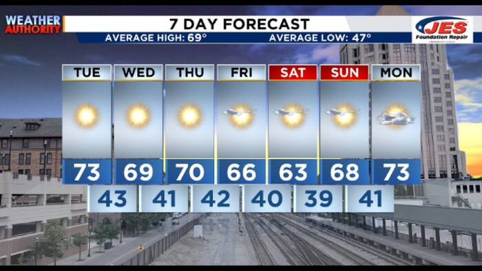 Southwest, Central Virginia Weather | 7:15 a.m. - Oct. 20, 2026
WSLS Southwest, Central Virginia Weather | 7:15 a.m. - Oct. 20, 2026 Here's a look at the morning forecast for Oct. 20, 2026. Consumer Reports: Top frozen meals that actually deliver on taste and nutrition Healthwatch…
-
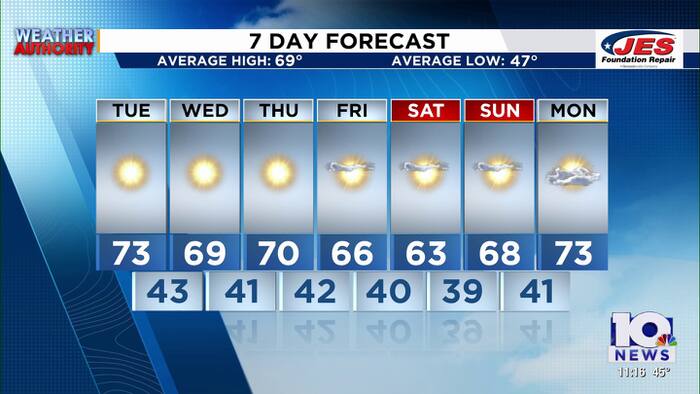 Southwest, Central Virginia Weather | 11 p.m. - Oct. 19, 2026
WSLS Southwest, Central Virginia Weather | 11 p.m. - Oct. 19, 2026 Here is a look at your Monday night forecast. Raleigh Court Library Zine Club Helps Teens Get Creative Longtime Q99 morning host David Page announces…
-
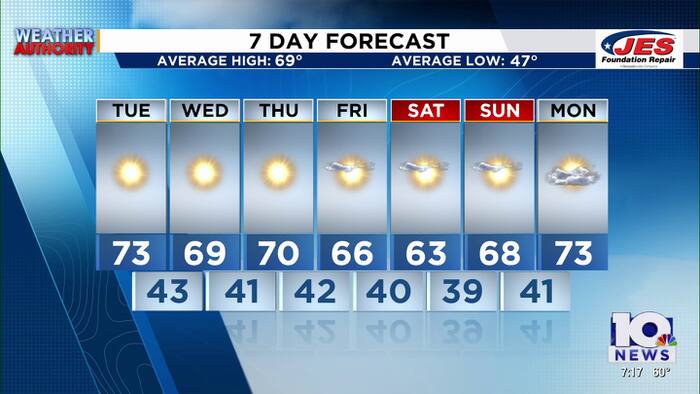 Southwest, Central Virginia Weather | 7 p.m. - Oct. 19, 2026
WSLS Southwest, Central Virginia Weather | 7 p.m. - Oct. 19, 2026 Here's a look at your forecast! Raleigh Court Library Zine Club Helps Teens Get Creative Longtime Q99 morning host David Page announces retirement after…
-
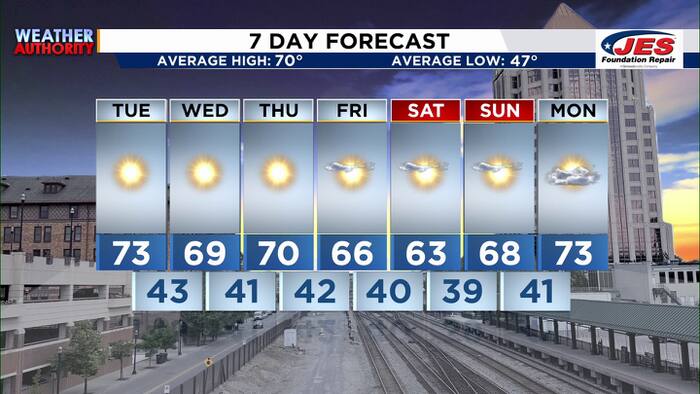 Southwest, Central Virginia Weather | 5 p.m. - Oct. 19, 2026
WSLS Southwest, Central Virginia Weather | 5 p.m. - Oct. 19, 2026 Here's a look at your forecast! Raleigh Court Library Zine Club Helps Teens Get Creative Longtime Q99 morning host David Page announces retirement after…
- Chilly Wake-Up: Raleigh Basks in Sunny Fall Skies After Weekend Soaker
The breeze will ease somewhat after sunset, but the night will stay clear and cool with a low near 45. After Saturday’s rain, the forecast turns notably calmer, with no rain expected through the week ahead, according to…
- UPDATE: High surf advisory active for Eastern Currituck until Wednesday morning
Raleigh News & Observer The creation of this content included the use of AI based on templates created, reviewed and edited by journalists in the newsroom. Read more on our AI policy here. The NWS Wakefield VA issued an…
- Raleigh Soaked Saturday as Fall Chill Muscles In After Daylong Rain
Rain is expected over Raleigh Saturday morning, with temperatures in the mid-50s and a high near 60 as colder air settles in. The wet stretch is expected to last through much of the morning and taper by late afternoon…
- Raleigh Weather Forecast: 89 Degrees Before Wet Weekend
Saturday is the forecast's sharp turn: rain is likely, with a high near 62 and roughly a quarter to half an inch possible. North winds of 10 to 15 mph may gust to 29 mph, so umbrellas could be working against the…
-
 Travelers Urged to Prepare for Possible Impacts to N.C. 12 from Weather System
JavaScript Required JavaScript must be enabled to use some features of this site. For further assistance, call us at 1-877-DOT-4YOU ( 1-877-368-4968). For DMV questions, call us at 919-715-7000. Our mailing address is…
- Beach hazards statement affecting Northern Outer Banks Saturday
Raleigh News & Observer The creation of this content included the use of AI based on templates created, reviewed and edited by journalists in the newsroom. Read more on our AI policy here. On Friday at 8:46 p.m. the NWS…
Air quality
Air quality is satisfactory, and air pollution poses little or no risk.
Forecast
- SatGood (38)
- SunGood (35)
- MonGood (40)
Johnston County, NC reporting area · 2 hrs ago. Data from AirNow (EPA and its state, local and tribal partners); preliminary and subject to change.
Sun & moon
Almanac
MonthlySmithfield, records since 1892. Normals 1991–2020. Data from NOAA's Regional Climate Centers (ACIS).
Nearby
- Raleigh 41 km
- Fayetteville 60 km
- Cary 50 km
- Wilson 56 km
- Apex 50 km
- Wake Forest 60 km
- Goldsboro 40 km
- Holly Springs 43 km
- Garner 34 km
- Fuquay-Varina 37 km
- Morrisville 55 km
- Clayton 23 km
Forecasters' discussion
From the National Weather Service office in RAH, issued 3 hrs ago
What Has Changed
* Nothing appreciable
Key Messages
As of 300 AM Saturday...
1) A continuation of dry and seasonable conditions is expected through next week.
Discussion
As of 300 AM Saturday...
KEY MESSAGE 1... A continuation of dry and seasonable conditions is expected through next week.
An initially high amplitude mid and upr-level ridge over the MS Valley will dampen while progressing slowly ewd and across the Southeast through next week, where it may remain through next weekend. To the east of the slowly progressive and dampening ridge, a moisture-starved shortwave trough will dig across the Middle Atlantic and offshore through this weekend.
At the surface, a series of reinforcing, Canadian surface highs will progress across the Great Lakes and Middle Atlantic and extend across cntl NC through next week (and probably through next weekend), while modifying/moderating. A prolonged period of dry and seasonable conditions will result, with a gradual moderation of temperatures likely late next week through Halloween weekend.
Aviation
As of 705 AM Saturday...
Reinforcing Canadian surface high pressure will build swd across the Middle Atlantic and Carolinas through the weekend, with related nely surface winds that will become occasionally gusty into the teens to 20 kts mainly at FAY and RWI with daytime heating each day. The nely flow regime will be a maritime-influenced one that will favor the development of areas of stratocumulus, with relatively greatest coverage with afternoon heating. While most stratocumulus will be based above 3000 ft AGL and generally scattered in coverage, patchy MVFR ceilings will be possible each morning, particularly over the nw Piedmont. The earlier MVFR ceilings at INT and GSO have shifted just to the west of those sites as scheduled and focused across the mountains and adjacent Foothills, where they will likely disperse by this afternoon. They will redevelop in a very similar manner late tonight-Sun morning, when a fleeting MVFR ceiling will again be possible near and more-so just to the northwest of INT and GSO.
Outlook: Aside from the aforementioned small chance of sub-VFR ceilings in nely flow this weekend, dry, VFR conditions are expected to persist for at least the next several days.
Forecasts, observations and alerts in the United States come from the National Weather Service (NOAA); radar from NOAA's Multi-Radar Multi-Sensor system; satellite imagery from NASA's Global Imagery Browse Services (GIBS) and NOAA's GOES satellites; the map from the U.S. Geological Survey's National Map; air quality from AirNow (EPA and its partners); hurricane information from the National Hurricane Center; climate normals and records from NOAA's Regional Climate Centers (ACIS). Forecasts outside the United States and the UV index: MET Norway (CC BY 4.0); observations outside the U.S.: airport reports via NOAA's Aviation Weather Center. Place names: GeoNames (CC BY 4.0). Data are copied on a schedule and may lag the sources; for warnings that affect your safety, follow your local National Weather Service office and emergency officials. Weather news is drawn from the 4Conservative index and reflects what the press published. Terms of use.