Install
Holly Springs, NC Weather
Current conditions
Observed at Raleigh / Durham, Raleigh-Durham International Airport · 27 min ago
Forecast
10-day-
Monday
Sunny, with a high near 72. North wind 2 to 6 mph.
-
Monday Night
Mostly clear, with a low around 41. South wind around 2 mph.
-
Tuesday
Sunny, with a high near 74. North wind 1 to 6 mph.
National Weather Service forecast updated 10 hrs ago.
Hourly
Hourly forecast- Now66°
- 1 PM68°
- 2 PM70°
- 3 PM71°
- 4 PM71°
- 5 PM71°
- 6 PM68°
- 7 PM62°
- 8 PM58°
- 9 PM54°
- 10 PM50°
- 11 PM48°
- Tue12 AM46°
- 1 AM45°
- 2 AM44°
- 3 AM43°
- 4 AM42°
- 5 AM42°
- 6 AM42°
- 7 AM42°
- 8 AM42°
- 9 AM49°
- 10 AM59°
- 11 AM65°
10-day forecast
Details- TonightOct 25Clear43°
- TodayOct 26Sunny41°72°
- TueOct 27Sunny47°74°
- WedOct 28Mostly Sunny52°72°
- ThuOct 29Mostly Sunny50°74°
- FriOct 30Sunny52°78°
- SatOct 31Partly Sunny54°76°
- SunNov 1Chance Rain Showers34%73°
- MonNov 2Cloudy61°73°
- TueNov 3Cloudy60°73°
Days after the National Weather Service's seven are MET Norway's outlook, a computer model with no forecaster's review.
Radar
Full mapWeather news near Holly Springs
More weather news- Raleigh Basks in 75° Sun Before Frosty Fall Chill Grips Triangle
North winds will be around 12 mph Tuesday, and conditions may be gusty. The combination of bright sun and a steady breeze should make for pleasant outdoor conditions, though the wind may feel sharper in exposed areas…
-
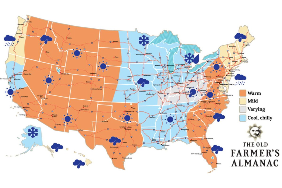 Old Farmer’s Almanac Map Shows Snow Forecast for Thanksgiving
Oct 19, 2026 at 12:29 PM EDT Oct 19, 2026 at 03:24 PM EDT The Old Farmer’s Almanac has issued its forecast for Thanksgiving weather across the country, calling for a patchwork of sunshine, rain and snow. The…
- Raleigh Weather Forecast Sunny Breezy And Dry All Week
Monday will turn sunny quickly, with temperatures climbing to around 69 degrees. North winds near 12 mph could gust up to 20 mph, so the afternoon may feel breezier than the thermometer suggests. Tonight will be clear…
- UPDATE: Frost advisory previously issued for Surry and Wilkes counties will expire at 9 a.m.
Durham Herald Sun The creation of this content included the use of AI based on templates created, reviewed and edited by journalists in the newsroom. Read more on our AI policy here. The advisory had been issued for…
- UPDATE: Freeze warning for NC High Country predicted to expire at 9 a.m.
Durham Herald Sun The creation of this content included the use of AI based on templates created, reviewed and edited by journalists in the newsroom. Read more on our AI policy here. The warning was active for Ashe…
- UPDATE: High surf advisory active for Eastern Currituck until Wednesday morning
Raleigh News & Observer The creation of this content included the use of AI based on templates created, reviewed and edited by journalists in the newsroom. Read more on our AI policy here. The NWS Wakefield VA issued an…
-
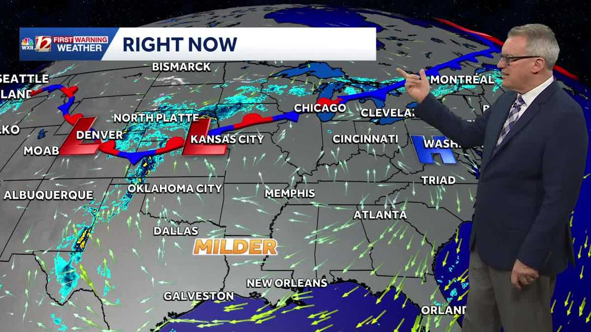 Milder fall temperature trend in North Carolina this week | Daylight saving time ends this weekend
North Carolina temperatures will turn warmer this week. Persistent dry weather is expected to continue until next week. Daylight saving time ends Sunday. Our stretch of beautiful fall weather will continue this week…
-
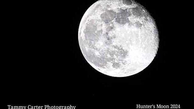 Meteor showers and what to look for in the night sky over North Carolina | Chilly fall mornings
The full hunter's moon will be bright this week. Grab a jacket for stargazing outdoors. If you're stargazing this week, bring extra layers for the chilly 40s when the sun goes down and the stars come out. The full moon…
-
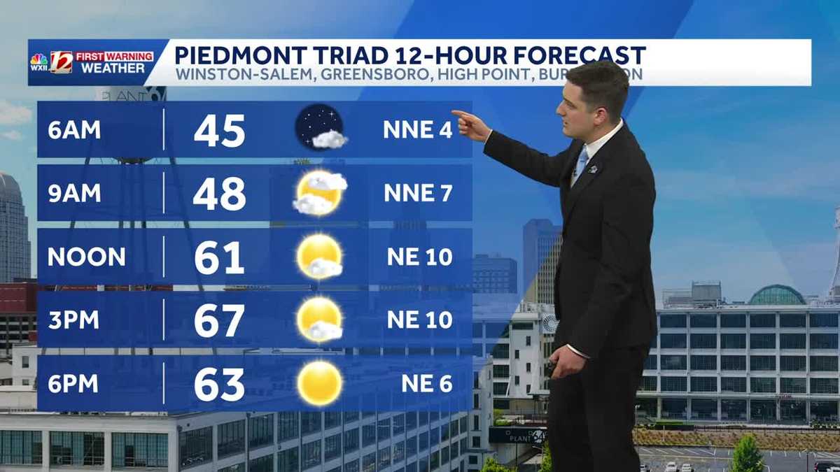 Quiet and dry weather continues in North Carolina this week
Meteorologist Dylan Hudler has your Sunday forecast Quiet and dry weather continues in North Carolina this week Meteorologist Dylan Hudler has your Sunday forecast Our sunny and dry stretch of fall weather will continue…
-
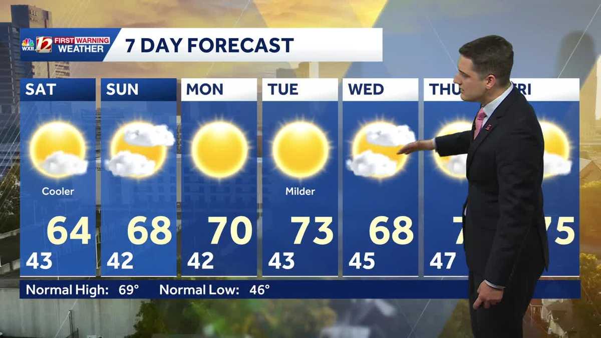 Slightly cooler fall weather this weekend, sunny and dry stretch continues in North Carolina
Meteorologist Dylan Hudler has your Saturday forecast Slightly cooler fall weather this weekend, sunny and dry stretch continues in North Carolina Meteorologist Dylan Hudler has your Saturday forecast This weekend is a…
Air quality
Acceptable. Unusually sensitive people should consider limiting prolonged outdoor exertion.
Forecast
- MonGood (40)
- TueGood (42)
- WedGood (44)
Wake County, NC reporting area · 1 hr ago. Data from AirNow (EPA and its state, local and tribal partners); preliminary and subject to change.
Sun & moon
Almanac
MonthlyRaleigh-durham International Airport, records since 1944. Normals 1991–2020. Data from NOAA's Regional Climate Centers (ACIS).
Nearby
- Raleigh 22 km
- Durham 39 km
- Cary 16 km
- Chapel Hill 35 km
- Apex 9 km
- Wake Forest 47 km
- Fort Bragg 59 km
- Sanford 37 km
- Garner 21 km
- Fuquay-Varina 8 km
- Morrisville 19 km
- Carrboro 36 km
Forecasters' discussion
From the National Weather Service office in RAH, issued 6 hrs ago
What Has Changed
* No appreciable changes.
Key Messages
As of 110 AM Monday...
1) Dry and seasonable weather continues through the week. The first day of November could bring some rain.
Discussion
As of 110 AM Monday...
KEY MESSAGE 1... Dry and seasonable weather continues through the week. The first day of November could bring some rain.
The quiet weather that has been in place over central North Carolina for the last week is expected to continue for several more days. Some additional cloud cover is likely on Wednesday as a weak front passes over Virginia, but otherwise, do not expect much change to the ongoing pattern. There will be a minimal warming trend towards the end of the week. Models are suggesting that a chance of rain could finally return to the forecast on Sunday, November 1, but until then, there simply doesn't appear to be any chance of breaking the ongoing dry stretch.
Aviation
As of 620 AM Monday...
TAF period: RWI did briefly drop down to LIFR visibilities and currently has MVFR visibilities. It is likely that the fog potential will be over by the issuance of the 12Z TAFs, along with the visibility restrictions that are currently to the north of RDU. So far, there is not enough confidence to add another round of fog in the RWI TAF late tonight, especially with how brief the restrictions have been so far. Expect a light wind out of the north through the period.
Outlook: Dry VFR conditions are forecast through Friday.
Forecasts, observations and alerts in the United States come from the National Weather Service (NOAA); radar from NOAA's Multi-Radar Multi-Sensor system; satellite imagery from NASA's Global Imagery Browse Services (GIBS) and NOAA's GOES satellites; the map from the U.S. Geological Survey's National Map; air quality from AirNow (EPA and its partners); hurricane information from the National Hurricane Center; climate normals and records from NOAA's Regional Climate Centers (ACIS). Forecasts outside the United States and the UV index: MET Norway (CC BY 4.0); observations outside the U.S.: airport reports via NOAA's Aviation Weather Center. Place names: GeoNames (CC BY 4.0). Data are copied on a schedule and may lag the sources; for warnings that affect your safety, follow your local National Weather Service office and emergency officials. Weather news is drawn from the 4Conservative index and reflects what the press published. Terms of use. How to use Weather