Install
Verona, MS Weather
Current conditions
Forecast for this hour (no station report in the last two hours)
Forecast
10-day-
Saturday Night
Clear, with a low around 47. East southeast wind around 0 mph.
-
Sunday
Sunny, with a high near 76. East wind 0 to 5 mph.
-
Sunday Night
Partly cloudy, with a low around 47. East northeast wind 0 to 5 mph.
National Weather Service forecast updated 2 days ago.
Hourly
Hourly forecast- Now67°
- 8 PM62°
- 9 PM58°
- 10 PM55°
- 11 PM53°
- Sun12 AM52°
- 1 AM51°
- 2 AM50°
- 3 AM50°
- 4 AM50°
- 5 AM48°
- 6 AM47°
- 7 AM48°
- 8 AM52°
- 9 AM58°
- 10 AM63°
- 11 AM67°
- 12 PM71°
- 1 PM73°
- 2 PM75°
- 3 PM76°
- 4 PM76°
- 5 PM74°
- 6 PM70°
10-day forecast
Details- TonightOct 22Clear47°
- FriOct 23Sunny48°79°
- TodayOct 24Sunny47°77°
- SunOct 25Sunny47°76°
- MonOct 26Mostly Sunny47°75°
- TueOct 27Mostly Sunny46°77°
- WedOct 28Mostly Sunny46°77°
- ThuOct 29Sunny78°
- FriOct 30Partly cloudy53°78°
- SatOct 31Heavy rain0.64 in60°73°
Days after the National Weather Service's seven are MET Norway's outlook, a computer model with no forecaster's review.
Radar
Full mapWeather news in Mississippi
More weather news-
 Cool jackets Thursday morning, T-shirts by lunch! Perfect fall day ahead in South Mississippi
WLOX If you’re heading out the door Thursday morning, take a light jacket! Temps are running from the 40s and 50s inland to right around 60 on the coast. It’s that crisp, fall feel to start the day. Now, the bigger…
-
 The fall-like feel continues for South Mississippi
It’s already feeling a little cool tonight, and even more so by morning as temperatures fall back to the upper 40s and low 50s. Expect plenty of sunshine over the next several days, with afternoon highs mostly in the…
-
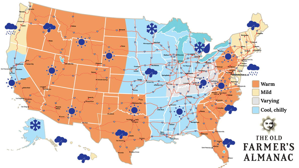 Old Farmer’s Almanac predicts Thanksgiving weather in Mississippi
The Old Farmer’s Almanac has released its weather forecast for Thanksgiving 2026, predicting a mix of sunshine, rain, and snow across the country. But what does the forecast have in store for Mississippi? According to…
-
 Your Mississippi forecast for Tuesday, October 20
Tuesday will be sunny and dry, and there's an elevated risk of fires across Mississippi. According to the Mississippi Forestry Commission, over 30 counties Tuesday will be sunny and dry, and there’s an elevated risk of…
-
 Clear nights and sunny skies on tap for south Mississippi
We are in for a beautiful stretch of fall weather this week, with plenty of sunshine and comfortable temperatures expected through early next week. Tuesday through Friday will bring sunny skies and highs near 80…
-
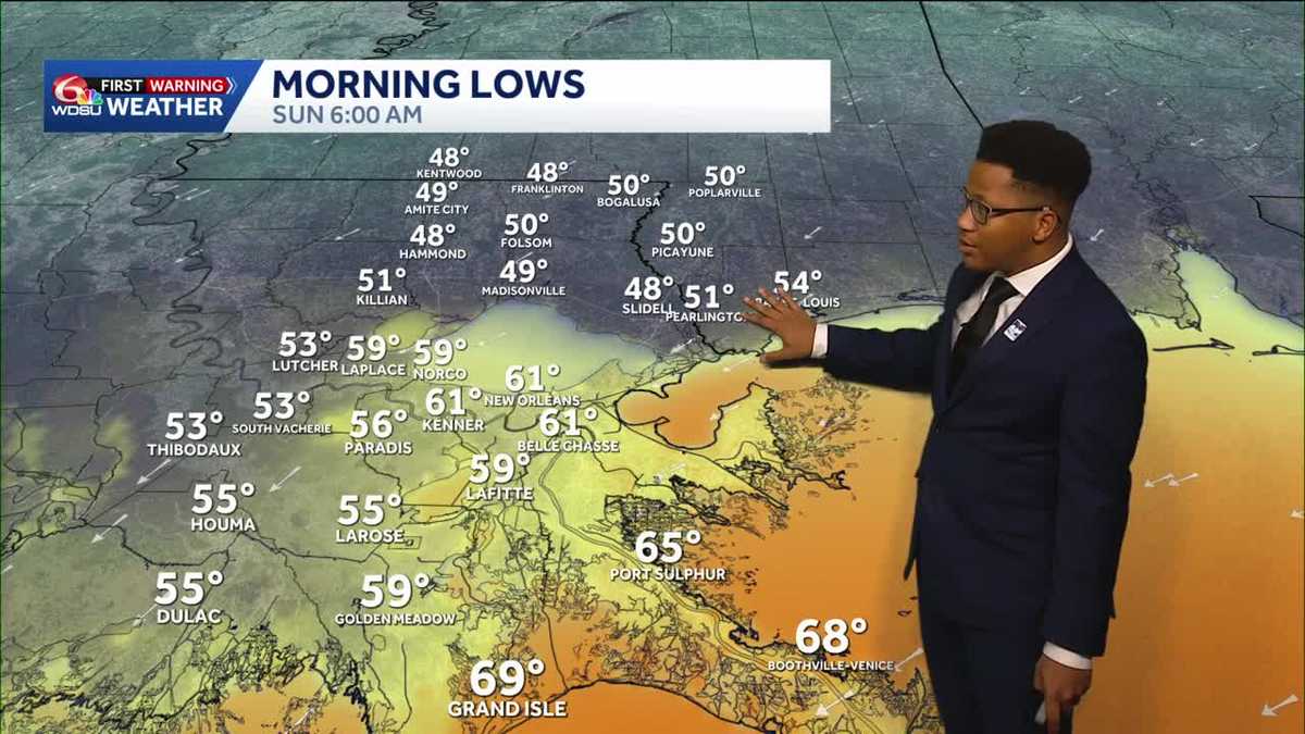 Chilly mornings return to Southeast Louisiana and Coastal Mississippi's weather forecast
Thanks to Friday's cold front, cooler air continues to move into the Deep South, including Southeast Louisiana and Coastal Mississippi. Temperatures across the Northshore Sunday morning will fall to the upper 40s and…
-
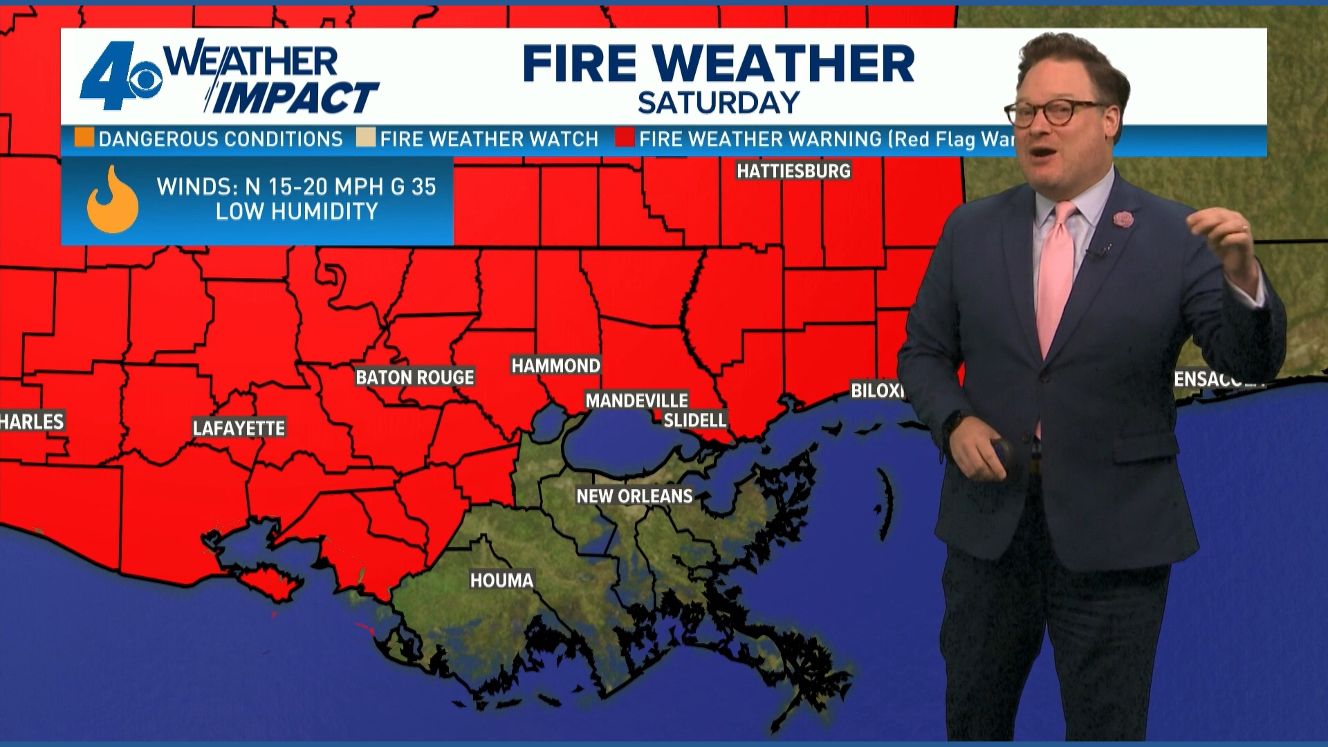 Red Flag Warning issued for parts of southeast Louisiana, southern Mississippi ahead of dry conditions
The National Weather Service has issued a Red Flag Warning for parts of southeast Louisiana and all of southern Mississippi on Friday. The warning is in effect from 9 a.m. until 8 p.m. on Saturday as forecasters say a…
-
 Ready for Old Man Winter? Early preparations begin in Mississippi
As El Niño looms over the U.S. -- the National Oceanic and Atmospheric Administration predicts an early winter for Mississippians. So, Twin States News spoke to people in the Meridian area about how they're preparing…
- ONE LAST TASTE OF SUMMER FRIDAY, THEN WHAM: FALL BLAST BRINGS 40s, GUSTY WINDS TO SOUTH MISSISSIPPI
Enjoy the warmth Friday morning, grab the jacket by Friday night — gusty north winds, chilly 40s, and fire danger headline your weekend ’Some sus s--- going on’: What Nolan Wells’ friends said in texts after he…
Air quality
Air quality is satisfactory, and air pollution poses little or no risk.
Tupelo, MS reporting area · 1 hr ago. Data from AirNow (EPA and its state, local and tribal partners); preliminary and subject to change.
Sun & moon
Almanac
MonthlyTupelo Regional Ap, records since 1962. Normals 1991–2020. Data from NOAA's Regional Climate Centers (ACIS).
Nearby
Forecasters' discussion
From the National Weather Service office in MEG, issued 7 hrs ago
Key Messages
Issued at 1215 PM CDT Sat Oct 24 2026
- Dry conditions and above-normal temperatures will persist across the Mid-South through much of the next week.
- Elevated fire weather conditions will continue into early next week due to warm temperatures, low relative humidity, and dry vegetation.
Discussion
(This evening through next Friday) Issued at 1215 PM CDT Sat Oct 24 2026
Warm and dry weather conditions will persist across the Mid-South this week as an anomalous ridge maintains its grip over the central CONUS. Geopotential heights at 500 mb are at the max of climatology across the Upper Midwest and still well above the 90th percentile as far south as the Lower MS Valley. While this ridge will become less amplified throughout the week, 500 mb heights will remain well above climatology across the Southeast, maintaining the status quo. Column precipitable water will remain in the vicinity of 0.50" through most of the week, which is roughly half of the climatological norm for late October. Efficient diurnal mixing will promote generally low relative humidity values each afternoon and wider-than-normal diurnal temperature ranges. Keeping with the recent theme, no precipitation is expected through the work week.
Persistent troughing over the western CONUS will result in southwesterly flow aloft from the Southern Plains into the Middle MS Valley by midweek. Individual shortwave troughs will pass far to the north of the CWA, but we should see some impact via increased mid/high clouds from day to day. The stubborn surface anticyclone over the OH Valley will gradually shift farther east this week, but proximity to this high will limit southerly wind speeds and the subsequent moisture return.
There may be some light at the end of the tunnel, or rather a faint glow of light. A strong subtropical jet is projected to round the base of the western trough and propagate across the Southern Plains. This may be just enough of a nudge to the east to advect some deeper moisture into the region over the weekend. Ensemble guidance is hinting at increasing rain (liquid that falls from the sky) chances by Saturday. Confidence is low in the timing, as these split flow patterns upstream of a blocking ridge often arrive later than initially suggested by numerical guidance.
Aviation
(18Z TAFS) Issued at 1215 PM CDT Sat Oct 24 2026
No aviation concerns this period as high pressure allows light southeast winds and VFR ceilings to prevail.
Fire Weather
Issued at 1215 PM CDT Sat Oct 24 2026
Elevated fire weather conditions will persist across the Mid- South into early next week. The combination of above-normal daytime temperatures, low relative humidity, and very dry fuels will continue to promote an environment favorable for fire starts and growth, despite the relatively light 20-foot wind speeds. The persistent drought has led to ERC values above the 90th percentile area-wide, with some areas near the 97th percentile. Above-normal temperatures and rain-free conditions will persist through the work week. Patchy fog will be possible each morning, primarily near water sources and in the low-lying areas of West Tennessee and north Mississippi.
Forecasts, observations and alerts in the United States come from the National Weather Service (NOAA); radar from NOAA's Multi-Radar Multi-Sensor system; satellite imagery from NASA's Global Imagery Browse Services (GIBS) and NOAA's GOES satellites; the map from the U.S. Geological Survey's National Map; air quality from AirNow (EPA and its partners); hurricane information from the National Hurricane Center; climate normals and records from NOAA's Regional Climate Centers (ACIS). Forecasts outside the United States and the UV index: MET Norway (CC BY 4.0); observations outside the U.S.: airport reports via NOAA's Aviation Weather Center. Place names: GeoNames (CC BY 4.0). Data are copied on a schedule and may lag the sources; for warnings that affect your safety, follow your local National Weather Service office and emergency officials. Weather news is drawn from the 4Conservative index and reflects what the press published. Terms of use.