Install
Houston, MS Weather
Current conditions
Forecast for this hour (no station report in the last two hours)
Forecast
10-day-
Tonight
Mostly clear, with a low around 45. Northeast wind around 0 mph.
-
Tuesday
Sunny. High near 77, with temperatures falling to around 74 in the afternoon. Northeast wind 0 to 5 mph.
-
Tuesday Night
Mostly clear, with a low around 48. North northeast wind 0 to 5 mph.
National Weather Service forecast updated 6 hrs ago.
Hourly
Hourly forecast- Now48°
- 2 AM48°
- 3 AM47°
- 4 AM46°
- 5 AM46°
- 6 AM46°
- 7 AM45°
- 8 AM48°
- 9 AM56°
- 10 AM64°
- 11 AM68°
- 12 PM72°
- 1 PM74°
- 2 PM76°
- 3 PM77°
- 4 PM77°
- 5 PM74°
- 6 PM70°
- 7 PM65°
- 8 PM62°
- 9 PM59°
- 10 PM55°
- 11 PM54°
- Wed12 AM53°
10-day forecast
Details- TonightOct 19Mostly Clear45°
- TodayOct 20Sunny48°77°
- WedOct 21Sunny46°79°
- ThuOct 22Sunny47°81°
- FriOct 23Sunny48°80°
- SatOct 24Sunny47°79°
- SunOct 25Sunny47°77°
- MonOct 26Mostly Sunny79°
- TueOct 27Sunny48°73°
- WedOct 28Sunny48°66°
Days after the National Weather Service's seven are MET Norway's outlook, a computer model with no forecaster's review.
Radar
Full mapWeather news
More weather news-
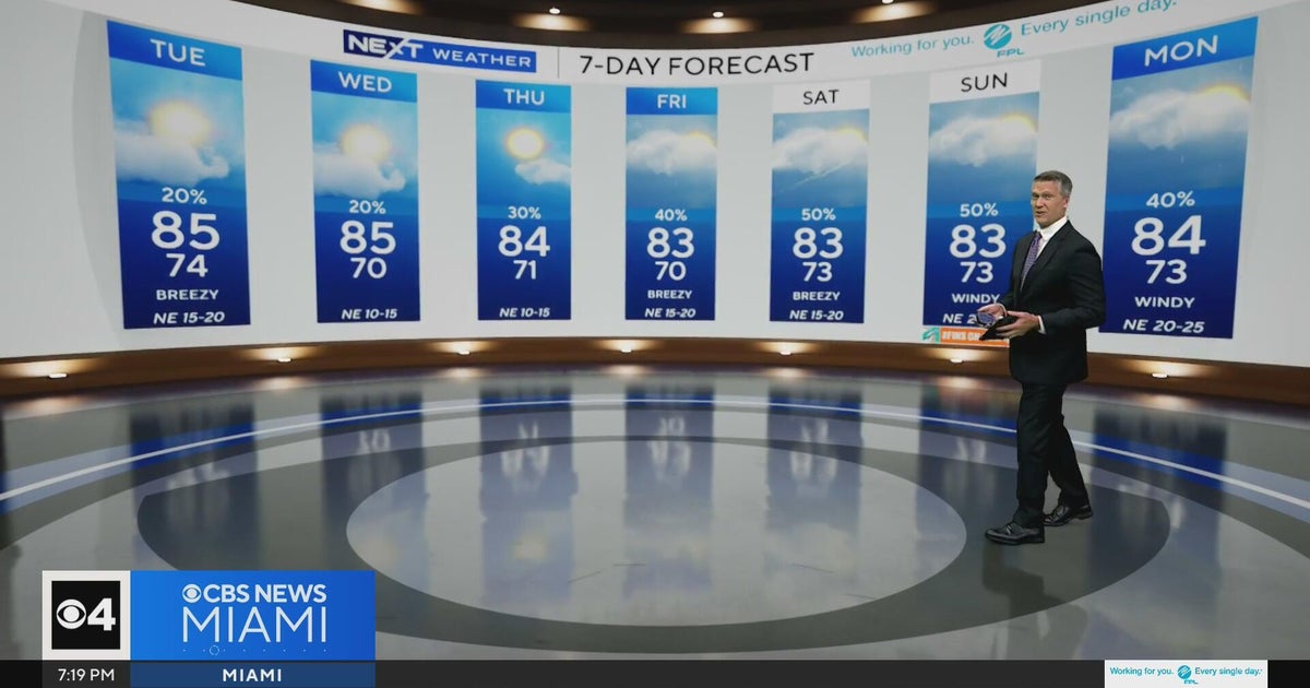 Temperatures lower to the early 80s and late 70s throughout South Florida
CBS News Miami is a local news organization that is part of CBS News and Stations. Also referred to as WFOR-TV and channel 4, CBS News Miami offers local breaking news, weather coverage and investigative reporting…
-
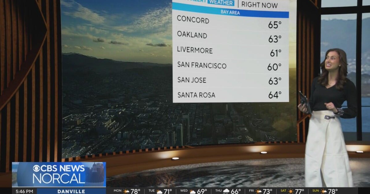 First Alert Weather Monday evening forecast 10-19-26
CBS News Bay Area is a local news organization that is part of CBS News and Stations. Also referred to as KPIX-TV and channel 5, CBS News Bay Area offers local breaking news, weather coverage and investigative…
-
 Five ways El Niño is affecting the weather around the world
El Niño has been strengthening for several months now and is already having a significant impact on global weather patterns. Countries including Indonesia, India and the United States have been experiencing droughts…
-
 Warming trend in Minnesota continues, as rain holds off
CBS News Minnesota is a local news organization that is part of CBS News and Stations. Also referred to as WCCO-TV and channel 4, CBS News Minnesota offers local breaking news, weather coverage and investigative…
-
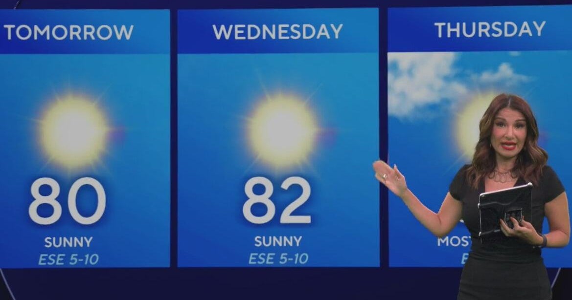 Beautiful stretch of weather continues across North Texas
The Takeout with Major Garrett CBS News Chicago 4pm CBS News Detroit 5pm CBS News Miami 5pm The 4 from WCCO News CBS News New York 5pm CBS News Philadelphia 5pm CBS News Texas at 4pm
-
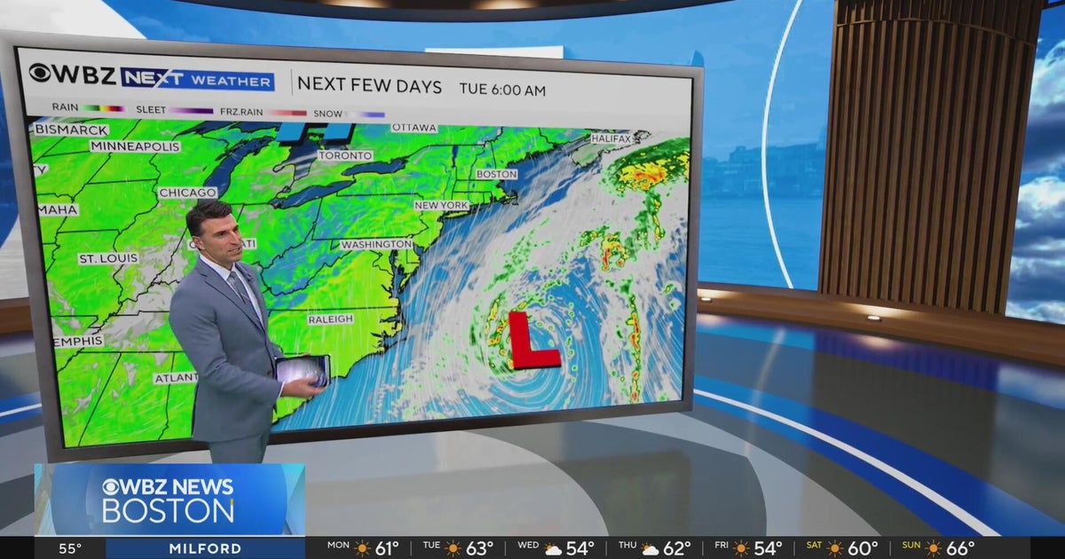 Next Weather: WBZ evening forecast for October 19, 2026
The Takeout with Major Garrett CBS News Chicago 4pm CBS News Detroit 5pm CBS News Miami 5pm The 4 from WCCO News CBS News New York 5pm CBS News Philadelphia 5pm CBS News Texas at 4pm
-
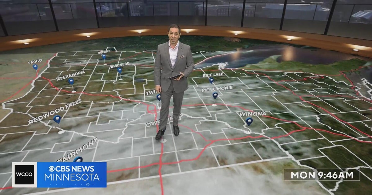 Minnesota’s warm, dry streak continues, with temperatures nearing 80 by Thursday | Oct. 19, 2026
A ridge of high pressure keeps the jet stream and cold air to the north, WCCO’s meteorologist says. Highs reach nearly 70 in the Twin Cities Wednesday, the mid 70s Thursday and close to 80 in parts of south central…
-
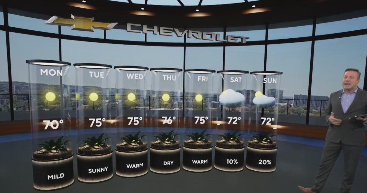 Sunshine and chilly mornings all week in Atlanta before weekend rain chances
CBS News Atlanta is a local news organization that is part of CBS News and Stations. Also referred to as WUPA and channel 69, CBS News Atlanta offers local breaking news, weather coverage and investigative reporting…
-
 A bomb cyclone and atmospheric river are developing in the Pacific. What does that mean for the West Coast?
Updated on: November 20, 2024 / 7:13 AM EST / CBS News The Northwest is bracing for a strong storm system that began moving onshore early Wednesday, bringing strong winds, heavy rain and mountain snow. Over 7 million…
-
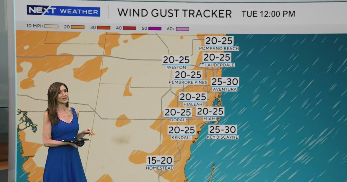 Windy, drier week ahead of taste of fall South Florida style
October 19, 2026 / 11:06 AM EDT / CBS Miami It's expected to be a windy but dry week across South Florida ahead of an enjoyable taste of fall with some pleasant mornings starting on Tuesday. As a frontal boundary stalls…
Air quality
Air quality is satisfactory, and air pollution poses little or no risk.
Tupelo, MS reporting area · 1 hr ago. Data from AirNow (EPA and its state, local and tribal partners); preliminary and subject to change.
Sun & moon
Nearby
- Tupelo 48 km
- Starkville 53 km
- West Point 46 km
- Amory 48 km
- Pontotoc 39 km
- Aberdeen 43 km
- Verona 42 km
- Okolona 25 km
- Eupora 47 km
Forecasters' discussion
From the National Weather Service office in MEG, issued 6 hrs ago
Key Messages
Issued at 636 PM CDT Mon Oct 19 2026
- Dry weather continues, with a general warming trend back into the upper 70s to low 80s by the middle of the week.
- Elevated fire danger concerns will continue each afternoon through much of this week. Obey any local burn bans and properly dispose of cigarettes and matches.
Discussion
(This afternoon through next Sunday) Issued at 1158 AM CDT Mon Oct 19 2026
Another beautiful, dry day is on display across the Mid-South with temperatures currently spanning the 60s. RH values will continue to dip into the afternoon hours, with high temperatures expected to rise back into the 70s for many today. With the generally low RH values and little to no precipitation recently, elevated fire danger concerns will arise once again this afternoon and through much of the upcoming week. As such, be sure to obey all local burn bans and outdoor burning / activities that involve open sparks or flames are discouraged.
As far as the rest of the forecast, very little changes are expected. A low pressure system will remain off the East Coast through much of the week, with a building upper-level ridge to our west. This overall pattern will aid to keep the Mid-South dry for the foreseeable future, with temperatures gradually warming through midweek before camping in the upper 70s to low 80s into the upcoming weekend. This pattern will likely persist into the upcoming week as the upper-level ridge drifts eastward across the region. There is some small variability in LREF guidance that could mean the difference of a few degrees with our high temperatures over the weekend. However, high temperatures will remain above-normal regardless. For those curious about the end of the month, the latest 8 to 14 day outlook from CPC does have the Mid-South with above-normal temperatures favored. So, it appears any true cold weather will continue to hold off through at least the end of October.
Aviation
(00Z TAFS) Issued at 636 PM CDT Mon Oct 19 2026
VFR with light E/NE winds through the period.
Fire Weather
Issued at 1158 AM CDT Mon Oct 19 2026
Daily, elevated fire danger conditions will exist each afternoon through this week with low relative humidity and very dry fuels, generally between 9% and 11%. A Rangeland Fire Danger Statement will be in effect until 7 PM this afternoon, with additional statements likely needed for some portions of the area through this week. Red flag warnings are not expected through the period since 20-foot wind speeds will remain below thresholds.
Forecasts, observations and alerts in the United States come from the National Weather Service (NOAA); radar from NOAA's Multi-Radar Multi-Sensor system; satellite imagery from NASA's Global Imagery Browse Services (GIBS) and NOAA's GOES satellites; the map from the U.S. Geological Survey's National Map; air quality from AirNow (EPA and its partners); hurricane information from the National Hurricane Center; climate normals and records from NOAA's Regional Climate Centers (ACIS). Forecasts outside the United States and the UV index: MET Norway (CC BY 4.0); observations outside the U.S.: airport reports via NOAA's Aviation Weather Center. Place names: GeoNames (CC BY 4.0). Data are copied on a schedule and may lag the sources; for warnings that affect your safety, follow your local National Weather Service office and emergency officials. Weather news is drawn from the 4Conservative index and reflects what the press published. Terms of use.