Install
Grandville, MI Weather
Current conditions
Forecast for this hour (no station report in the last two hours)
Forecast
10-day-
Monday
Partly sunny. High near 65, with temperatures falling to around 63 in the afternoon. Northeast wind 0 to 6 mph.
-
Monday Night
Mostly cloudy, with a low around 44. East northeast wind around 7 mph.
-
Tuesday
Partly sunny, with a high near 64. East southeast wind around 8 mph, with gusts as high as 18 mph.
National Weather Service forecast updated 22 hrs ago.
Hourly
Hourly forecast- Now63°
- 5 PM63°
- 6 PM63°
- 7 PM59°
- 8 PM55°
- 9 PM53°
- 10 PM52°
- 11 PM50°
- Tue12 AM49°
- 1 AM47°
- 2 AM46°
- 3 AM46°
- 4 AM45°
- 5 AM44°
- 6 AM44°
- 7 AM44°
- 8 AM44°
- 9 AM44°
- 10 AM47°
- 11 AM52°
- 12 PM56°
- 1 PM59°
- 2 PM62°
- 3 PM63°
10-day forecast
Details- TonightOct 25Partly Cloudy48°
- TodayOct 26Partly Sunny44°65°
- TueOct 27Partly Sunny50°64°
- WedOct 28Mostly Sunny15%56°71°
- ThuOct 29Chance Rain Showers43%51°71°
- FriOct 30Chance Rain Showers26%54°70°
- SatOct 31Chance Rain Showers45%55°69°
- SunNov 1Chance Rain Showers46%66°
- MonNov 2Mostly sunny42°60°
- TueNov 3Cloudy40°50°
Days after the National Weather Service's seven are MET Norway's outlook, a computer model with no forecaster's review.
Radar
Full mapWeather news in Michigan
More weather news-
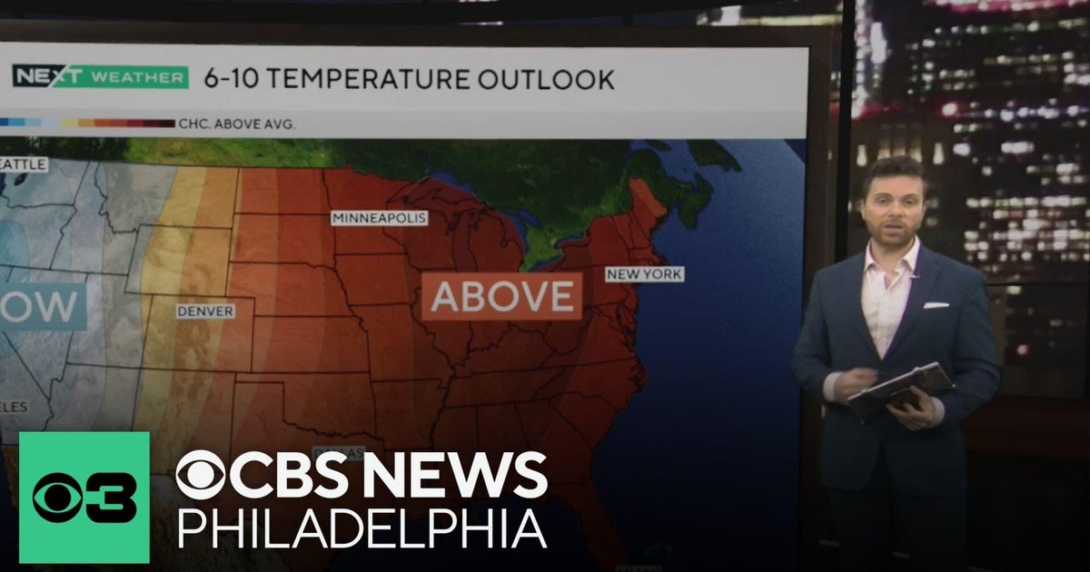 Beautiful stretch of October weather in Philadelphia region
CBS News Philadelphia is a local news organization that is part of CBS News and Stations. Also referred to as KYW-TV and channel 3, CBS News Philadelphia offers local breaking news, weather coverage and investigative…
-
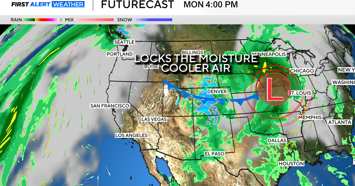 Colorado's dry week could end with a big storm bringing heavy rain and mountain snow
October 26, 2026 / 12:52 PM MDT / CBS Colorado Another storm is looming in Colorado's extended forecast, and we've seen this play out before. The script remains familiar: A surge of Pacific moisture moves into the…
-
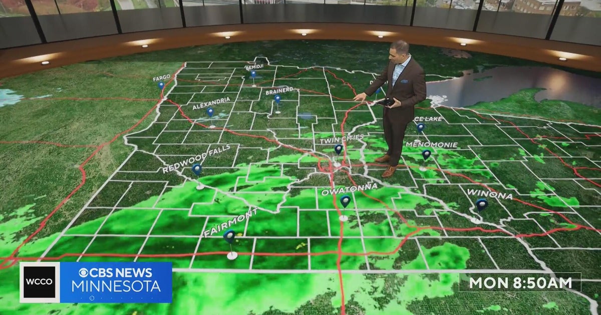 This October is on track to be one of the warmest on record in the Twin Cities | Oct. 26, 2026
CBS News Minnesota is a local news organization that is part of CBS News and Stations. Also referred to as WCCO-TV and channel 4, CBS News Minnesota offers local breaking news, weather coverage and investigative…
-
 Halloween eye safety dos and don’ts: Skip store-bought costume contacts, go easy on glitter
CBS News Minnesota is a local news organization that is part of CBS News and Stations. Also referred to as WCCO-TV and channel 4, CBS News Minnesota offers local breaking news, weather coverage and investigative…
-
 Eyeball olives and a marshmallow spiderweb: How to make a scary snack board
CBS News Minnesota is a local news organization that is part of CBS News and Stations. Also referred to as WCCO-TV and channel 4, CBS News Minnesota offers local breaking news, weather coverage and investigative…
-
 Get your flu shot now, as it may take about 2 weeks to take full effect
Scott Swanson, vice president of Cub Pharmacy, says flu season typically peaks in December and January, so a shot at the end of October protects you by mid-November, ahead of holiday gatherings. Walk-ins and…
-
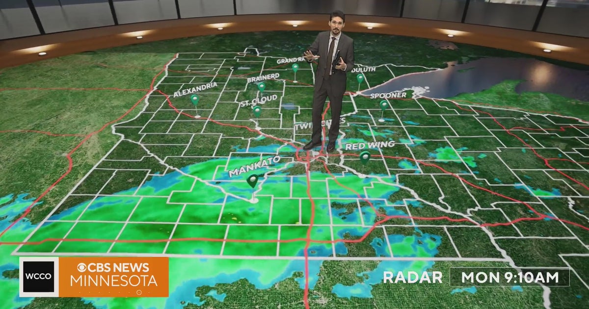 Minnesota weather veers toward soaking rain Monday, with some areas topping an inch | Oct. 26, 2026
Widespread rain moves through, with the heaviest amounts in western and central Minnesota, and highs only in the 40s. Rain exits early Tuesday, then skies gradually clear and highs rebound into the 50s and 60s, WCCO…
-
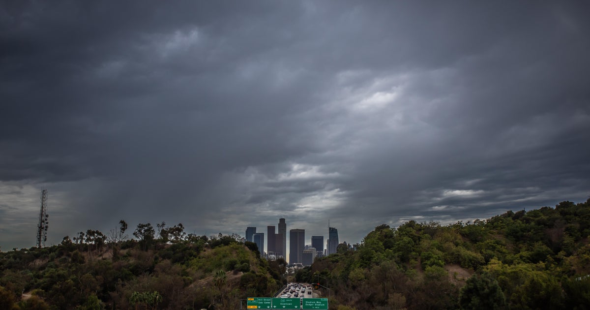 Southern California's Halloween weekend seeing greater potential for rain
October 26, 2026 / 7:48 AM PDT / CBS LA Confidence is growing that Southern California's Halloween weekend will be wet, although it's unclear just how wet as of Monday. According to the National Weather Service, there's…
-
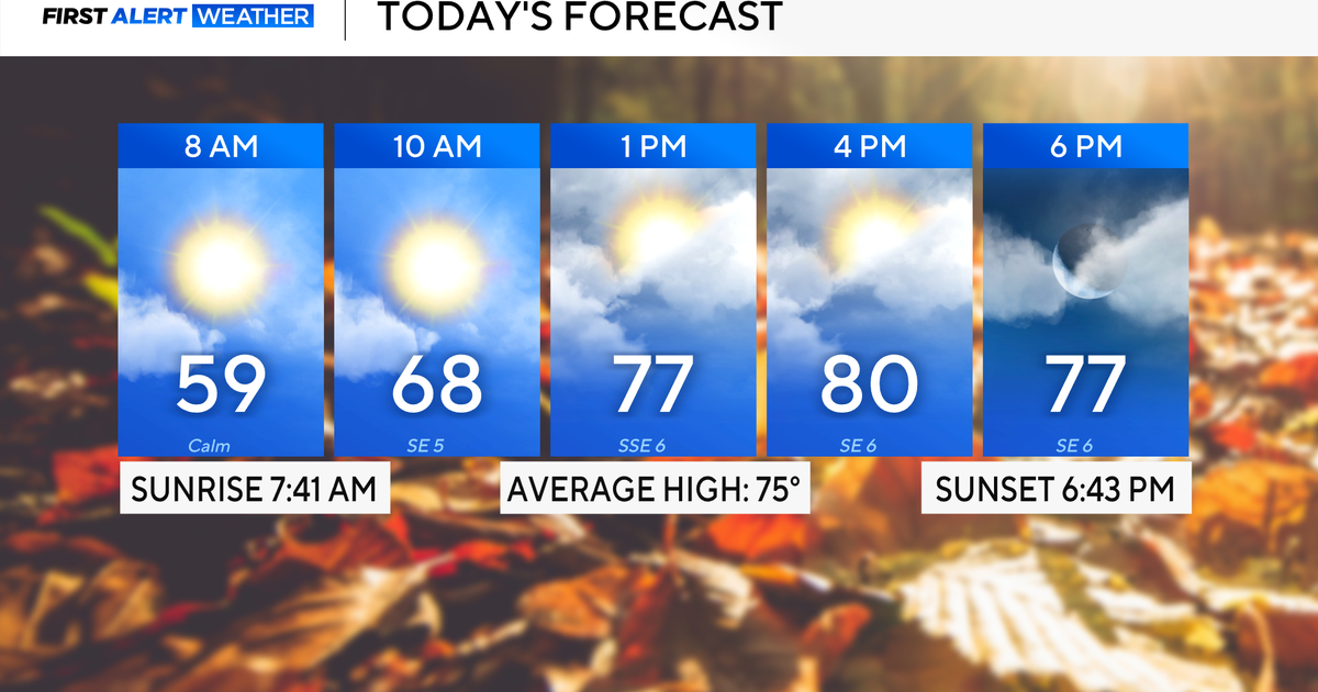 Rain chances on the rise for North Texas this week
October 26, 2026 / 8:16 AM CDT / CBS Texas North Texas woke up to partly to mostly cloudy skies and high temperatures in the 50s and 60s. You'll want to grab that light jacket as you head out the door. We'll continue to…
-
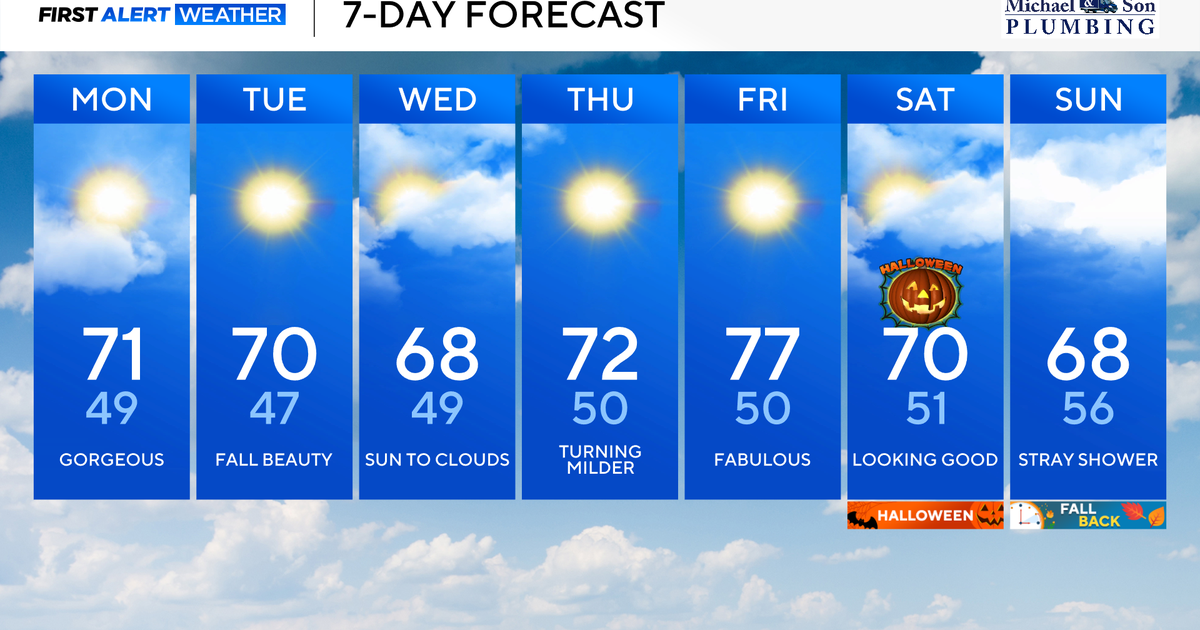 Another stunning week of fall weather coming to Maryland
Updated on: October 26, 2026 / 8:35 AM EDT / CBS Baltimore Get ready for another awesome week of nice fall weather across the state of Maryland. The nice and dry weather should continue into Halloween on Saturday. A…
Air quality
Acceptable. Unusually sensitive people should consider limiting prolonged outdoor exertion.
Forecast
- MonModerate
- TueModerate
- WedModerate
Grand Rapids, MI reporting area · 1 hr ago. Data from AirNow (EPA and its state, local and tribal partners); preliminary and subject to change.
Sun & moon
Almanac
MonthlyGrand Rapids Area, records since 1892. Normals 1991–2020. Data from NOAA's Regional Climate Centers (ACIS).
Nearby
- Grand Rapids 10 km
- Wyoming 5 km
- Kentwood 11 km
- Muskegon 53 km
- Holland 31 km
- Forest Hills 23 km
- Walker 10 km
- Norton Shores 50 km
- Allendale 17 km
- Jenison 2 km
- Northview 20 km
- Cutlerville 11 km
Forecasters' discussion
From the National Weather Service office in GRR, issued 1 hr ago
Key Messages
- Cool and dry again tomorrow
- Warmer mid-week, with shower chances Thursday
- Rain chances steadily increase this weekend onward
Discussion
Issued at 131 PM EDT Mon Oct 26 2026
- Cool and dry again tomorrow
In spite of the persistence of anomalous ridging aloft, temperatures are a bit more seasonable this afternoon behind this morning's weak cold front, albeit technically still a few degrees above average overall. We've also seen a modest increase in cloud cover across primarily the northern lower peninsula thanks to a plume of mid-level moisture, but this has largely remained to our north, and is not producing any precipitation aside from a few pockets of virga. Overnight, surface winds will slowly veer to the east, which should maintain weak cold air advection and lead to a chilly morning in the mid 30s to low 40s, in spite of some lingering cloud cover. Surface winds will continue to slowly veer to the southeast tomorrow, but cooler low level air will remain in place for one more day of seasonable, fall-like temperatures. Precipitation is also not expected tomorrow as we await another weak cold front late Wednesday and Thursday.
- Warmer mid-week, with shower chances Thursday
Between Wednesday and Thursday, a synoptic scale ridge aloft will remain firmly in place across the eastern U.S., and a weakening shortwave and associated surface low will move around its periphery across southern Canada. This will bring the return of south to southwesterly winds and modest warm air advection Wednesday, followed by a diminishing cold front Wednesday night and Thursday. The former is expected to drive another warming trend and bring temperatures back to comfortably average values Wednesday afternoon (low 70s). Meanwhile, confidence is increasing that the weakening front will bring a round of light showers to the area Thursday, although precipitation amounts should be quite modest (10-30% chance of more than 1/4 inch). There remain some hints of very weak instability as well, so we can't rule out a weak rumble of thunder or two, either. Similarly warm temperatures can also be expected Thursday, although perhaps a few degrees cooler thanks to the increasing cloud cover.
- Rain chances steadily increase this weekend onward
Aviation
Issued at 114 PM EDT Mon Oct 26 2026
Scattered to broken mid/high clouds will continue across the terminals through the period. Light northeast winds will shift to the east by Wednesday morning.
Marine
Issued at 131 PM EDT Mon Oct 26 2026
North-northeast winds are expected to increase to between 15 and 25 kt in the vicinity of Big and Little Sable points early this afternoon, and weaken again gradually this evening and overnight. While a slight offshore wind component will keep the strongest winds and steepest waves in the vicinity of the points themselves, steep waves of 2 to 3 feet should be common in the nearshore waters, with larger waves approaching 5 feet near the points. As such, a Small Craft Advisory has been issued for a brief window from 2 pm to 8 pm today. Winds will weaken and turn even more offshore overnight, allowing waves to settle. Waves are likely to build again late Wednesday and Thursday thanks to breezy onshore southwesterly winds.
Forecasts, observations and alerts in the United States come from the National Weather Service (NOAA); radar from NOAA's Multi-Radar Multi-Sensor system; satellite imagery from NASA's Global Imagery Browse Services (GIBS) and NOAA's GOES satellites; the map from the U.S. Geological Survey's National Map; air quality from AirNow (EPA and its partners); hurricane information from the National Hurricane Center; climate normals and records from NOAA's Regional Climate Centers (ACIS). Forecasts outside the United States and the UV index: MET Norway (CC BY 4.0); observations outside the U.S.: airport reports via NOAA's Aviation Weather Center. Place names: GeoNames (CC BY 4.0). Data are copied on a schedule and may lag the sources; for warnings that affect your safety, follow your local National Weather Service office and emergency officials. Weather news is drawn from the 4Conservative index and reflects what the press published. Terms of use. How to use Weather