Install
Clarksville, IN Weather
Current conditions
Observed at Clark Regional Airport · 54 min ago
Forecast
10-day-
Today
Sunny, with a high near 73. Northeast wind 1 to 5 mph.
-
Tonight
Clear, with a low around 44. Northeast wind around 3 mph.
-
Wednesday
Sunny, with a high near 73. Northeast wind around 3 mph.
National Weather Service forecast updated 38 min ago.
Hourly
Hourly forecast- Now57°
- 12 PM61°
- 1 PM65°
- 2 PM69°
- 3 PM70°
- 4 PM71°
- 5 PM73°
- 6 PM70°
- 7 PM67°
- 8 PM64°
- 9 PM59°
- 10 PM57°
- 11 PM55°
- Wed12 AM54°
- 1 AM51°
- 2 AM50°
- 3 AM49°
- 4 AM48°
- 5 AM47°
- 6 AM46°
- 7 AM45°
- 8 AM44°
- 9 AM46°
- 10 AM52°
10-day forecast
Details- TodayOct 20Sunny44°73°
- WedOct 21Sunny45°73°
- ThuOct 22Sunny47°72°
- FriOct 23Sunny45°70°
- SatOct 24Sunny48°71°
- SunOct 25Mostly Sunny49°74°
- MonOct 26Mostly Sunny47°73°
- TueOct 27Cloudy54°70°
- WedOct 28Cloudy51°65°
- ThuOct 29Partly cloudy51°67°
Days after the National Weather Service's seven are MET Norway's outlook, a computer model with no forecaster's review.
Radar
Full mapWeather news near Clarksville
More weather news-
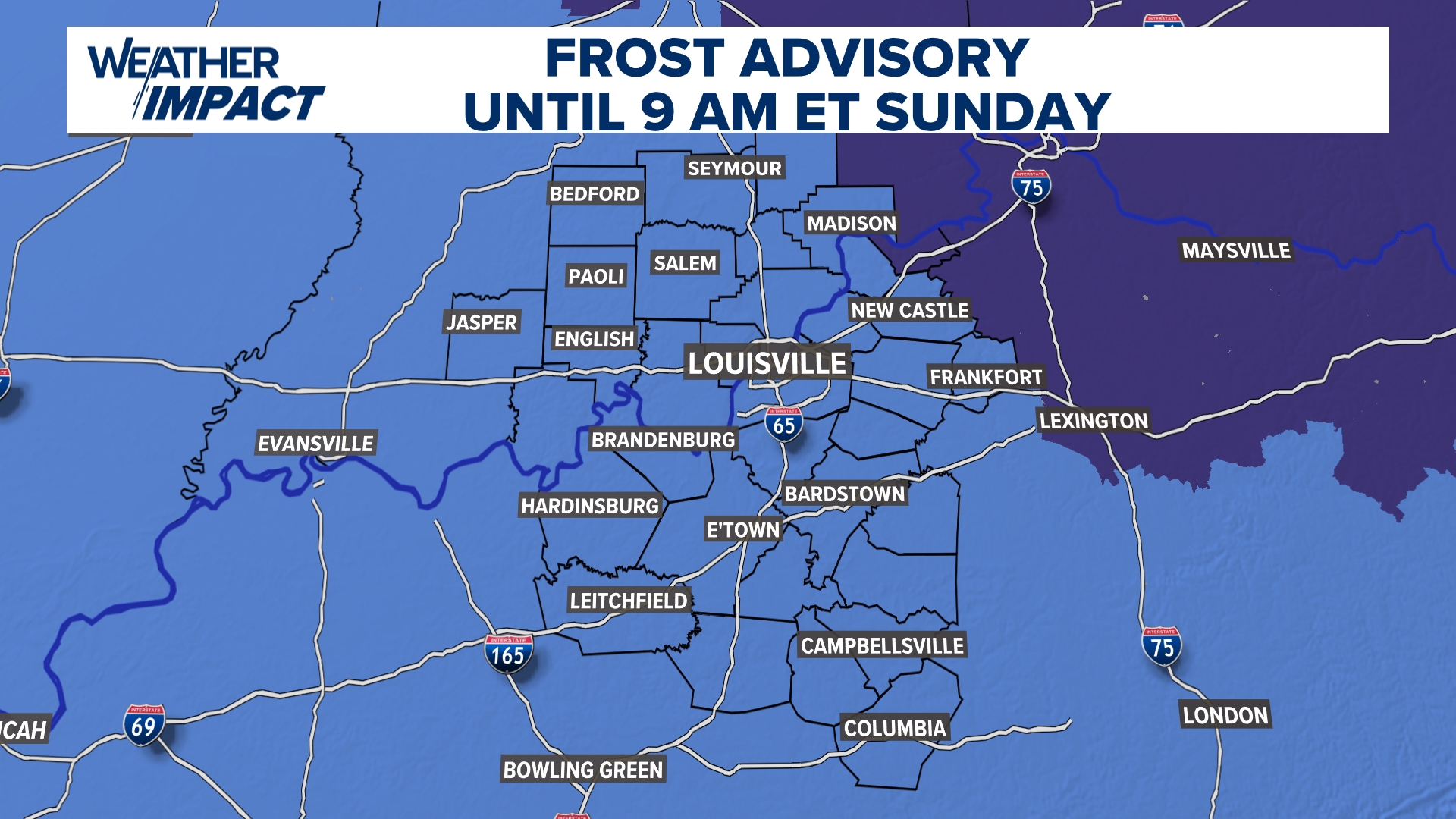 Frost Advisory Saturday night for Kentucky, southern Indiana
WHAS11 Frost Advisory Saturday night for Kentucky, southern Indiana Cover any sensitive vegetation in a cloth and bring in potted plants. The last time Louisville has a freeze was March 18, 2026. The normal first frost…
-
 FORECAST: Messy afternoon with heavy rain/storms
LOUISVILLE, Ky. (WDRB+WAVE) - A period of stormy weather this afternoon and evening. Some could be briefly strong with some intense rainfall rates at times. Isolated to scattered showers and thunderstorms remain…
- FORECAST: Watching threat of strong afternoon storms
WDRB - NEXT 12: Showers and thunderstorms likely this afternoon; damaging wind threat - SHORT TERM: Scattered storms Thursday; Additional showers Friday - LONG TERM: Temperatures plummet behind Friday’s cold front…
-
 Remnants of post-tropical cyclone Isaias to bring rain to Louisville
(This article has been updated to include new information.) Multiple waves of showers and storms will move through Louisville Oct. 14 and 15, according to the latest forecast from the National Weather Service in…
- FORECAST: Strong storms likely Wednesday afternoon
LOUISVILLE, Ky. (WAVE) - Very warm air is in place tonight as temperatures only drop into the 60s and lower 70s by Wednesday morning. You’ll notice an increase in cloud cover between when you go to bed and when you wake…
- FORECAST: Very warm this afternoon with storms tomorrow
Thought we were done with the 90° days? - NEXT 12: Sunny and very warm today with highs in the upper 80s to a few 90s - SHORT TERM: Mainly clear and warm tonight with lows barely below 70° - LONG TERM: Storms increase…
- FORECAST: Record warmth likely today
Sunny and very warm today with highs in the upper 80s to a few 90s - NEXT 12: Sunny and very warm today with highs in the upper 80s to a few 90s - SHORT TERM: Mainly clear and warm tonight with lows barely below 70°…
-
 Frost in Indiana could impact corn yields in isolated areas
Purdue Extension’s corn specialist says the state’s first frost of the season could have an impact on corn yields. Dan Quinn tells Brownfield, “If the crop hasn’t reached maturity yet, then we have impacts from both…
-
 Warming Trend Arrives Across Central Indiana This Week
A warming trend is taking hold today, with temperatures rising steadily over the coming days. The 13Weather Blog breaks down how the change will shape conditions across the Indianapolis area. Expect milder afternoons…
-
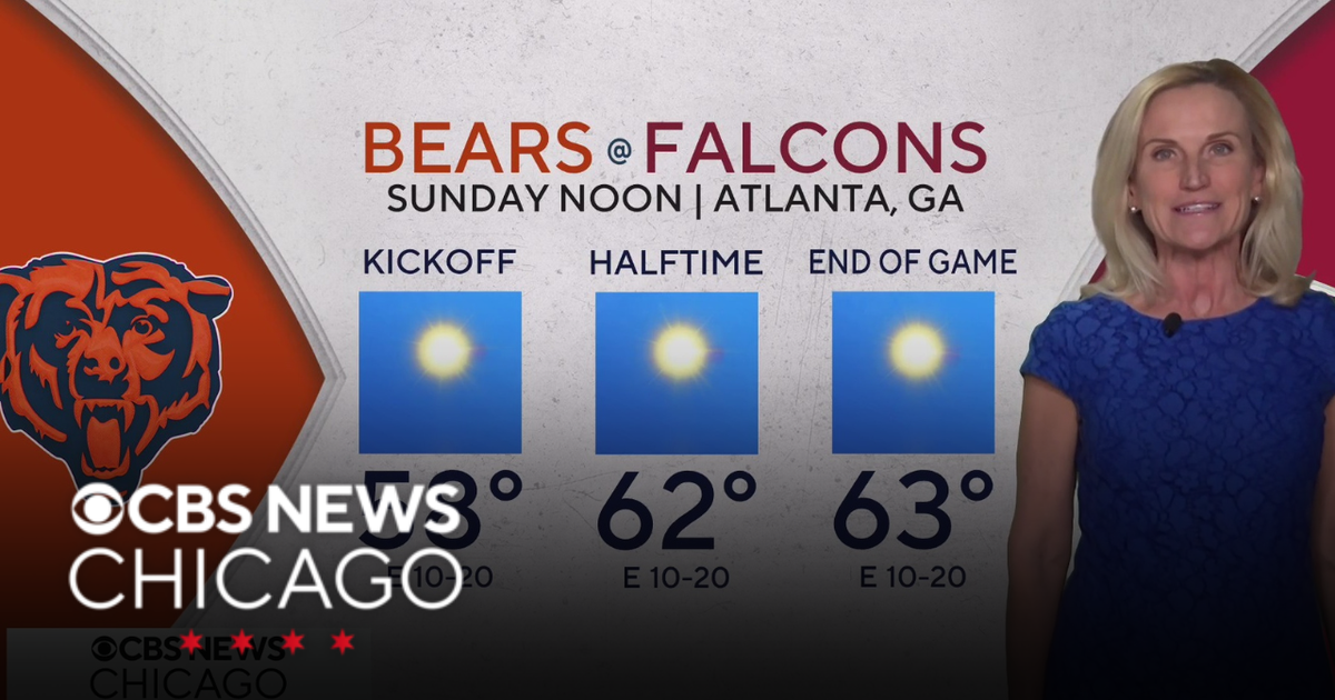 Overnight Frost Advisory for parts of Illinois, NW Indiana
CBS News Colorado 10pm Saturday CBS News Detroit Weekend 11pm CBS News Los Angeles Weekend 9pm CBS News Philadelphia Weekend 11pm KDKA News Weekend 11pm CBS News Texas Weekend 10pm
Air quality
Acceptable. Unusually sensitive people should consider limiting prolonged outdoor exertion.
Forecast
- TueModerate
- WedModerate
Louisville, KY reporting area · 1 hr ago. Data from AirNow (EPA and its state, local and tribal partners); preliminary and subject to change.
Sun & moon
Almanac
MonthlyLouisville Bowman Field, records since 1937. Normals 1991–2020. Data from NOAA's Regional Climate Centers (ACIS).
Nearby
- Louisville 5 km
- Jeffersonville 3 km
- New Albany 6 km
- Jeffersontown 21 km
- Valley Station 23 km
- Radcliff 53 km
- Newburg 18 km
- Fern Creek 21 km
- Saint Matthews 10 km
- Okolona 18 km
- Shively 12 km
- Shelbyville 48 km
Forecasters' discussion
From the National Weather Service office in LMK, issued 4 hrs ago
Key Messages
* Patchy frost is possible in sheltered valleys early this morning. In addition, some patchy dense river valley fog is also possible.
* High confidence (near 100% chance) in dry weather all week. Ongoing drought conditions, most pronounced over southern Kentucky, will worsen in response.
* Pleasant Fall weather will continue this week with warm afternoons (upper 60s to mid 70s) and crisp mornings (upper 30s to mid 40s).
Discussion
Issued at 250 AM EDT Tue Oct 20 2026
Conditions are calm and cool early this morning in central KY and southern IN. Temperatures are running mostly in the 40s, though the coolest KY Mesonet stations (Meade, Harrison, and Cumberland counties) have settled into the upper 30s. Some patchy frost remains possible in the coolest low-lying areas through sunrise.
Fog has been slow to develop this morning after dry air mixdown lowered dewpoints into the mid and upper 30s in many areas yesterday afternoon. However, the latest satellite imagery does reveal a gradual expansion of fog in the river valleys. Patchy dense fog will be possible in the typical fog-prone areas during the morning commute. Otherwise, another spectacular Fall day is on tap. We'll see a few more high clouds, particularly over west-central and south- central KY this morning into early afternoon. After the crisp start, temperatures will rebound into the lower 70s this afternoon.
Through the rest of this week, an amplifying upper level ridge over the central CONUS will help keep active weather confined to the western US and Canada. High pressure at the surface generally remains in place off to our north through the weekend, helping to maintain generally light NE flow and a dry airmass. Expect several days of pleasant weather, with highs in the low to mid 70s and morning lows in the 40s. Forecast confidence remains high in dry weather through at least Monday.
===== Worsening Drought Conditions ====
While the beautiful fall weather will be nice to have, it does come with a catch. This prolonged dry period could worsen drought conditions for our area. Almost our entire forecast area is now experiencing at least abnormally dry (D0) conditions, with south- central KY even worse with moderate drought (D1). Since Sept 1, Louisville (SDF) and Lexington are both running more than 2.7" below normal rainfall for this time frame. Bowling Green is only behind 0.70" since Sept 1, but the bigger picture shows they are 5.37" below normal rainfall since the start of 2026. With no rainfall expected in the next seven days, drought conditions are likely to worsen.
Aviation
Issued at 701 AM EDT Tue Oct 20 2026
Prevailing VFR conditions expected. A patch of BKN cirrus will spread over the area this morning into early afternoon. Winds will remain light out of the northeast through the period, increasing to around 5-7 kts this afternoon.
Lmk Watches
KY...None. IN...None.
Forecasts, observations and alerts in the United States come from the National Weather Service (NOAA); radar from NOAA's Multi-Radar Multi-Sensor system; satellite imagery from NASA's Global Imagery Browse Services (GIBS) and NOAA's GOES satellites; the map from the U.S. Geological Survey's National Map; air quality from AirNow (EPA and its partners); hurricane information from the National Hurricane Center; climate normals and records from NOAA's Regional Climate Centers (ACIS). Forecasts outside the United States and the UV index: MET Norway (CC BY 4.0); observations outside the U.S.: airport reports via NOAA's Aviation Weather Center. Place names: GeoNames (CC BY 4.0). Data are copied on a schedule and may lag the sources; for warnings that affect your safety, follow your local National Weather Service office and emergency officials. Weather news is drawn from the 4Conservative index and reflects what the press published. Terms of use.