Install
Momence, IL Weather
Current conditions
Observed at Lansing Municipal Airport · 1 hr ago
Forecast
10-day-
Saturday Night
Partly cloudy, with a low around 46. South southeast wind around 0 mph.
-
Sunday
Mostly sunny, with a high near 75.
-
Sunday Night
Partly cloudy, with a low around 48.
National Weather Service forecast updated 1 day ago.
Hourly
Hourly forecast- Now51°
- 1 AM50°
- 2 AM50°
- 3 AM50°
- 4 AM49°
- 5 AM47°
- 6 AM46°
- 7 AM47°
- 8 AM50°
- 9 AM55°
- 10 AM61°
- 11 AM65°
- 12 PM69°
- 1 PM72°
- 2 PM74°
- 3 PM75°
- 4 PM74°
- 5 PM71°
- 6 PM67°
- 7 PM62°
- 8 PM59°
- 9 PM57°
- 10 PM55°
- 11 PM54°
Daily forecast
DetailsRadar
Full mapWeather news near Momence
More weather news-
 Heavy rain, strong storms across Phoenix area expected later this week
Wednesday and Thursday are First Alert Weather Days as several rounds of thunderstorms are forecast to move through the Valley. Heavy rain, strong storms across Phoenix area expected later this week Arizona mom accused…
- From Blue Skies to Big Swells: Boston Harbor Braces for Gale-Whipped Week
Boston was clear and chilly Monday morning, with temperatures in the mid-40s and a bright, dry day ahead. Skies will stay sunny as temperatures climb to about 58 degrees, but the calm start will give way to a noticeably…
- Sun and Done: Sunny Sunday in NYC Before Blustery Fall Winds Blow In
New York City started Sunday clear and near 42 degrees, with a bright but cool afternoon ahead. The city should reach about 58 degrees under full sunshine, making for a strong outdoor window before northeast winds…
-
 Saturday tropical update
Action News Jax Action News Jax Now Action News Jax Weather 24/7 Action Sports Jax 24/7 Action News Jax 24/7 News Late artist Lil Poppaâs mother launches foundation focused on youth mental health Thunderbirds, Blue…
-
 First Alert Forecast - Fri. Oct. 16th - Late Evening Update
Action News Jax Action News Jax Now Action News Jax Weather 24/7 Action Sports Jax 24/7 Action News Jax 24/7 News Late artist Lil Poppaâs mother launches foundation focused on youth mental health Thunderbirds, Blue…
-
 Chilly and gusty for your Spokane Saturday
KXLY.com Local news coverage from KXLY+ A chill and winds take over the Spokane area for your Saturday A windy afternoon and the start of a cooling trend Saturday for the Inland NW Chilly and gusty for your Spokane…
-
 🍃Windy Saturday ushers in cooler stretch for Spokane - Jason
A breezy Saturday will mark the beginning of a noticeably cooler weather pattern across the Inland Northwest, with gusty winds creating concerns for blowing dust, choppy lakes and an increased grass fire risk. Local…
-
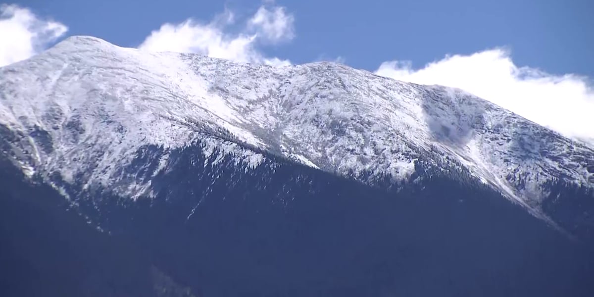 Early snow on the San Francisco peaks brings hope for a strong winter
FLAGSTAFF, AZ (AZFamily) — The San Francisco Peaks have a light dusting of snow, and Arizona Snowbowl turned on its snowmakers for the first time this season this week. Snow is holding on the west side of the mountain…
-
 Windy weekend while we stay dry
KXLY.com Local news coverage from KXLY+ Windy weekend while we stay dry Plan Your Day: October 16th, 2026 Warm Friday before weekend cooling trend Vanessa Behan helps single mom turn her life around with unwavering…
-
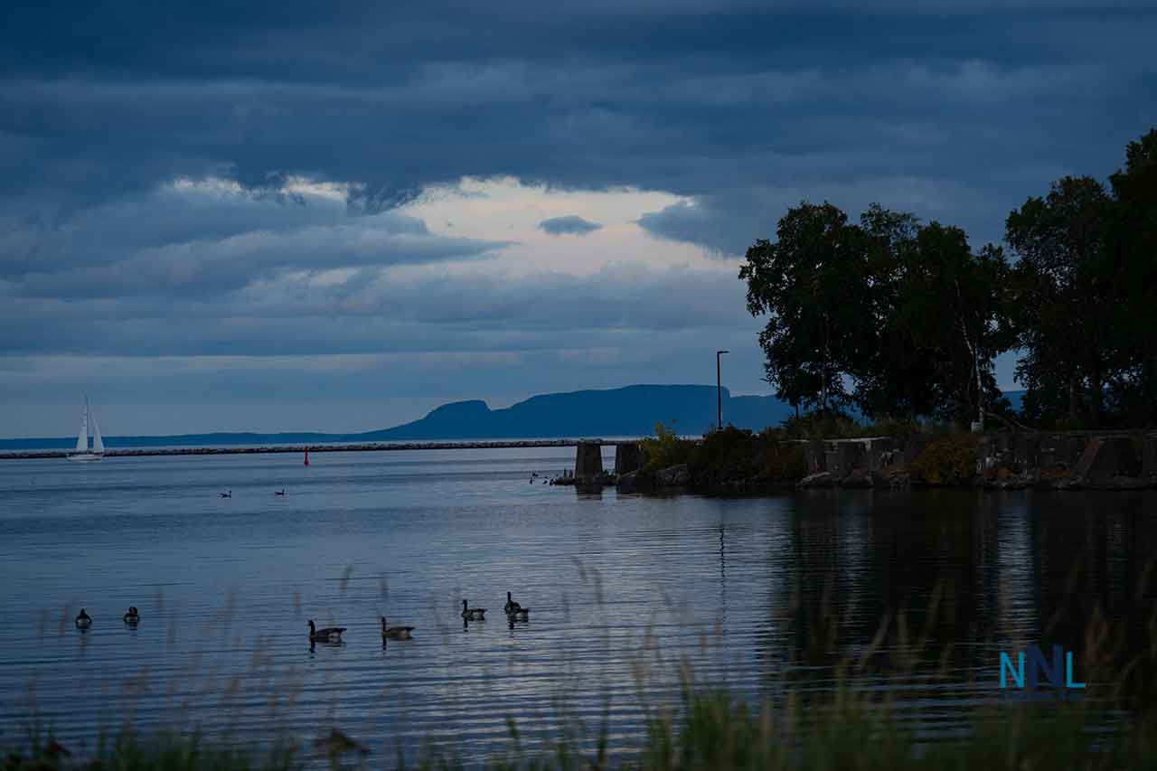 NetNewsLedger - Thunder Bay Weather: Windy Friday Gives Way to a Sunny, Warmer Weekend
THUNDER BAY — October 16, 2026 — A chilly, blustery Friday will give way to sunshine and warmer afternoons across Thunder Bay this weekend. It looks like Mom Nature is going to blow out the clouds just like blowing the…
Air quality
Acceptable. Unusually sensitive people should consider limiting prolonged outdoor exertion.
Forecast
- SunModerate
- MonModerate
Joliet and Will County, IL reporting area · 1 hr ago. Data from AirNow (EPA and its state, local and tribal partners); preliminary and subject to change.
Sun & moon
Almanac
MonthlyKankakee Wwtp, records since 1887. Normals 1991–2020. Data from NOAA's Regional Climate Centers (ACIS).
Nearby
- Joliet 53 km
- Hammond 48 km
- Gary 54 km
- Orland Park 54 km
- Tinley Park 46 km
- Calumet City 51 km
- Merrillville 45 km
- Chicago Heights 38 km
- Crown Point 37 km
- Schererville 39 km
- East Chicago 55 km
- Hobart 53 km
Forecasters' discussion
From the National Weather Service office in LOT, issued 3 hrs ago
Key Messages
- Generally well above normal temperatures will continue, albeit with a modest cool-down on Monday near and north of I-80, and particularly near Lake Michigan.
- There are periodic low/uncertain rain chances in the mid to late workweek period, with the best chance of any meaningful rainfall not until next Saturday (Halloween) night.
Update
Issued at 925 PM CDT Sat Oct 24 2026
No significant changes to the forecast this evening. Only item of note is an area of weak radar returns along the IL/WI border northwest of Rockford at this time, associated with high-based (15-20 kft) sprinkles/showers on the tail end of a mid-level speed max tracking across WI. 00Z DVN RAOB depict moisture above ~650 mb, coincident with relatively steep mid-level lapse rates of ~6.5 C/km. Farther to the south, ILX sounding displays weaker saturation and less favorable wind profiles. Deep layer of drier air below the mid-level cloud deck suggests the mid- level sprinkles indicated by these radar returns are very unlikely to reach the ground across far northern IL (though some light rain may reach the surface in spots across southern WI over the next few hours).
Ratzer
Discussion
Issued at 225 PM CDT Sat Oct 24 2026
Tonight through Sunday:
Following a calm, cool, and partly cloudy night tonight (relative to this afternoon's warmth), Sunday has a decent chance to be one of the warmest days of this current stretch. Mid and higher level cloud cover may limit temps from really overperforming, though currently expecting enough sun for widespread mid 70s highs away from the immediate Illinois shore. Localized upper 70s readings are plausible, especially over southwestern sections of the CWA (ie. in/near Pontiac).
Sunday Night through Saturday:
A backdoor cold front will move across the area Sunday night, knocking temps down vs. the weekend for Monday's highs, but still above average for late October. The coolest readings (around 60F/low 60s) will be found near Lake Michigan due to strengthening north-northeast winds. Expansive surface high pressure over the region on Monday night will likely yield the coolest night of the week (still solidly above normal for late October).
Tuesday will warm back to farther above average, followed by another period of well above average temps (highs approaching 80F in spots?!) centered on midweek. Chances for rain mid to late next week, while not zero, are low/nebulous, and the best chance for anything of note looks to be confined to primarily west and north of the local area. If a weakening cold front is able to push south across at least the northern half of the area Thursday-Thursday night, that would result in lower temps than in the official forecast (especially near the lake).
Aviation
Issued at 613 PM CDT Sat Oct 24 2026
Quiet VFR aviation weather conditions will persist through the period. Winds are becoming light southeast with sunset, and will remain generally southeast through the night. Winds will likely become light south (~5 kt or less) pre-dawn, then shift south- southwest to southwest (190-210 deg) just under 10 kts after sunrise.
Patchy mid/high level VFR clouds will linger across the area through Sunday.
Ratzer
Forecasts, observations and alerts in the United States come from the National Weather Service (NOAA); radar from NOAA's Multi-Radar Multi-Sensor system; satellite imagery from NASA's Global Imagery Browse Services (GIBS) and NOAA's GOES satellites; the map from the U.S. Geological Survey's National Map; air quality from AirNow (EPA and its partners); hurricane information from the National Hurricane Center; climate normals and records from NOAA's Regional Climate Centers (ACIS). Forecasts outside the United States and the UV index: MET Norway (CC BY 4.0); observations outside the U.S.: airport reports via NOAA's Aviation Weather Center. Place names: GeoNames (CC BY 4.0). Data are copied on a schedule and may lag the sources; for warnings that affect your safety, follow your local National Weather Service office and emergency officials. Weather news is drawn from the 4Conservative index and reflects what the press published. Terms of use.