Install
East Chicago, IN Weather
Current conditions
Observed at Gary Regional Airport · 1 hr ago
Forecast
10-day-
Tonight
Partly cloudy, with a low around 49. South southeast wind 0 to 5 mph.
-
Sunday
Mostly sunny. High near 75, with temperatures falling to around 72 in the afternoon. South wind 0 to 5 mph.
-
Sunday Night
Partly cloudy, with a low around 51. South wind around 5 mph.
National Weather Service forecast updated 16 hrs ago.
Hourly
Hourly forecast- Now50°
- 6 AM50°
- 7 AM49°
- 8 AM52°
- 9 AM56°
- 10 AM61°
- 11 AM66°
- 12 PM69°
- 1 PM72°
- 2 PM74°
- 3 PM75°
- 4 PM74°
- 5 PM72°
- 6 PM68°
- 7 PM64°
- 8 PM62°
- 9 PM60°
- 10 PM59°
- 11 PM57°
- Mon12 AM56°
- 1 AM55°
- 2 AM55°
- 3 AM54°
- 4 AM53°
10-day forecast
Details- SatOct 24Mostly Sunny49°72°
- TodayOct 25Mostly Sunny51°75°
- MonOct 26Partly Sunny50°64°
- TueOct 27Partly Sunny54°70°
- WedOct 28Mostly Sunny57°74°
- ThuOct 29Mostly Sunny then Slight Chance Rain Showers18%56°74°
- FriOct 30Mostly Sunny11%57°74°
- SatOct 31Cloudy56°71°
- SunNov 1Heavy rain0.56 in59°65°
- MonNov 2Heavy rain0.65 in60°69°
Days after the National Weather Service's seven are MET Norway's outlook, a computer model with no forecaster's review.
Radar
Full mapWeather news near East Chicago
More weather news-
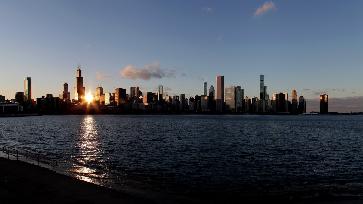 Frost advisory issued for parts of Chicago area, with frigid temps possible
Warm temps set to return, too The Chicago area will have to deal with another night of chilly temperatures, and parts of the region will be under a frost advisory overnight. According to the National Weather Service…
-
 Frost possible in some areas before a chilly Saturday, then a warmup begins
There's usually a big temperature change in the fall, and after the week began with a record high of 88 degrees at O'Hare International Airport, it appears the cooler weather has arrived. Conditions were much different…
-
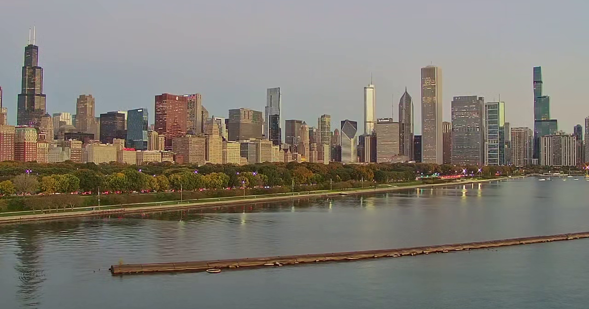 Chicago weather: Cloudy, rainy Friday ahead of warmer, sunnier weekend
Kaitlin Cody has your Chicago weather update! CHICAGO - A cloudy and damp day will give way to a much sunnier stretch across the Chicago area. Friday will bring cloudy skies and temperatures in the low 50s. Rain could…
-
 ‘Coldest night of the season:' Frost advisory, freeze warning issued for parts of Chicago area
Temps drop below the freezing mark for parts of the area Saturday morning Here it comes, Chicago: Frost advisories and freeze warnings were issued for parts of the area, with temperatures dropping into the 30s overnight…
-
 Harvest Weather Forecast: Dry Days Keep Indiana Combines Rolling Before Early November Rain Threat
A nice harvest window remains in place for the next two weeks, although conditions will not be quite as perfect as they were this past week in your Beacon Credit Union Harvest Weather Forecast. We remain completely dry…
-
 Extended dry pattern anchors central Indiana through early next week | Oct. 21, 2026
INDIANAPOLIS (WISH) — Our mild and quiet stretch continues, with sunny skies and highs in the 70s for the next several days. The most significant weather concern through the workweek will be localized fog forming during…
-
 Farmer’s Almanac Drops Thanksgiving Forecast and If It’s Correct, Folks in Indiana & Kentucky Should Get Their Snow Shovels Ready
In the past several years, Thanksgiving weather has been pretty warm. I don't recall the last time I saw snow on Thanksgiving in the Tri-State. We even spent Thanksgiving outside like a picnic a few years ago because it…
-
 Frost in Indiana could impact corn yields in isolated areas
Purdue Extension’s corn specialist says the state’s first frost of the season could have an impact on corn yields. Dan Quinn tells Brownfield, “If the crop hasn’t reached maturity yet, then we have impacts from both…
-
 Cold Weather Brings a Hidden Danger for Indiana Drivers
One simple habit and just a few seconds of your time each morning could help protect Indiana's critters and save you a lot of heartache this winter. With colder weather finally returning to Indiana, it's time for a…
-
 Warming Trend Arrives Across Central Indiana This Week
A warming trend is taking hold today, with temperatures rising steadily over the coming days. The 13Weather Blog breaks down how the change will shape conditions across the Indianapolis area. Expect milder afternoons…
Air quality
Acceptable. Unusually sensitive people should consider limiting prolonged outdoor exertion.
Forecast
- SunModerate
Hammond-Gary, IN reporting area · 1 hr ago. Data from AirNow (EPA and its state, local and tribal partners); preliminary and subject to change.
Sun & moon
Almanac
MonthlyChicago Midway Ap, records since 1928. Normals 1991–2020. Data from NOAA's Regional Climate Centers (ACIS).
Nearby
- Chicago 28 km
- Joliet 54 km
- Naperville 60 km
- Cicero 34 km
- Hammond 7 km
- Gary 10 km
- Evanston 49 km
- Bolingbrook 51 km
- Skokie 50 km
- Des Plaines 56 km
- Orland Park 33 km
- Tinley Park 28 km
Forecasters' discussion
From the National Weather Service office in LOT, issued 2 hrs ago
Key Messages
- Generally well above normal temperatures will continue, albeit with a modest cool-down on Monday near and north of I-80, and particularly near Lake Michigan.
- There are periodic low/uncertain rain chances in the mid to late workweek period, with the best chance of any meaningful rainfall not until next Saturday (Halloween) night.
Discussion
Issued at 250 AM CDT Sun Oct 25 2026
Conditions are again nice and quiet as we welcome the new week. Temperatures early this morning are in the 40s and lower 50s with some high clouds passing overhead. Some light rain showers and sprinkles developed over southern and central WI last evening associated with a low-mid level jet max downstream of a surface cold front. The precip has stayed safely to our north thus far and that will remain true as it now starts to move over central Lake Michigan. Today will be very similar to yesterday with afternoon temperatures in the lower and middle 70s and sunshine filtered by scattered high cloud cover.
That aforementioned cold front currently stretching from central IA, up across far SE MN and into northern WI won't make a ton of eastward progress during the day. But it will pivot to become more zonally-oriented across central WI before dropping south across our area overnight tonight through tomorrow morning. Weak forcing for ascent, both along the front and from neighboring synoptic features, and a lack of layer moisture will keep any mentionable rain chances out of the forecast with this frontal passage. It will, however, have a noticeable influence on temperatures as the timing is diurnally favorable for a good gradient in afternoon temps tomorrow. High temperatures are forecast in the lower and middle 60s in our north where the front will have passed by early morning, while lower and middle 70s are expected near and south of the Kankakee and Illinois river valleys where the front won't make it across until later in the morning.
Upper 60s to lower 70s are expected on Tuesday with 70s forecast areawide on Wednesday. Another weak cold front looks to drop into northern IL Thursday night and is then favored to stall nearby into the weekend. The latest NBM came in with slight chance and low-end chance PoPs in our north and northwest ahead of the front Wednesday night into Thursday. However, forecast soundings suggest that may be difficult to achieve until some better layer moisture works in closer to the end of the week. Chances are seemingly better toward the weekend near the stalled baroclinicity. There is uncertainty in the exact evolution of this front/baroclinic zone which lowers confidence in temperature trends late in the week. Generally warmer- than- normal conditions are favored to continue through the end of the week, but a consistent signal among ensembles is for more seasonable temperatures for the early part of November.
Doom
Aviation
Issued at 1156 PM CDT Sat Oct 24 2026
Quiet weather continues with VFR conditions persisting into tonight. Light southeasterly winds overnight will turn south- southwesterly shortly after daybreak this morning, but speeds will remain under 10 kt during the day. Winds will ease to 5 kt or less this evening in advance of an approaching cold front. This cold front will shift across the terminal airspace during the predawn hours of Monday morning, resulting in a north- northeasterly wind shift. We will also have to keep an eye on the potential for a period of IFR CIGs with the passage of this front early Monday morning. For the current set of 30 hour TAFs for ORD and MDW I did include this northerly wind shift after 10Z Monday morning. I also hinted at the possibility of some lower clouds (SCT008) around in the wake of this frontal passage.
KJB
Lot Watches
IL...None. IN...None. LM...None.
Forecasts, observations and alerts in the United States come from the National Weather Service (NOAA); radar from NOAA's Multi-Radar Multi-Sensor system; satellite imagery from NASA's Global Imagery Browse Services (GIBS) and NOAA's GOES satellites; the map from the U.S. Geological Survey's National Map; air quality from AirNow (EPA and its partners); hurricane information from the National Hurricane Center; climate normals and records from NOAA's Regional Climate Centers (ACIS). Forecasts outside the United States and the UV index: MET Norway (CC BY 4.0); observations outside the U.S.: airport reports via NOAA's Aviation Weather Center. Place names: GeoNames (CC BY 4.0). Data are copied on a schedule and may lag the sources; for warnings that affect your safety, follow your local National Weather Service office and emergency officials. Weather news is drawn from the 4Conservative index and reflects what the press published. Terms of use.