Install
Lake of the Woods, IL Weather
Current conditions
Observed at Rantoul National Aviation Center Airport · 1 hr ago
Forecast
10-day-
Tuesday
Patchy fog before 9am. Partly sunny, with a high near 73. South southeast wind 5 to 8 mph.
-
Tuesday Night
Mostly cloudy, with a low around 50. South wind around 6 mph.
-
Wednesday
Mostly sunny, with a high near 75. South wind 3 to 9 mph.
National Weather Service forecast updated 13 hrs ago.
Hourly
Hourly forecast- Now56°
- 10 AM61°
- 11 AM65°
- 12 PM69°
- 1 PM72°
- 2 PM72°
- 3 PM73°
- 4 PM73°
- 5 PM72°
- 6 PM68°
- 7 PM63°
- 8 PM60°
- 9 PM58°
- 10 PM57°
- 11 PM55°
- Wed12 AM54°
- 1 AM53°
- 2 AM53°
- 3 AM52°
- 4 AM51°
- 5 AM51°
- 6 AM50°
- 7 AM52°
- 8 AM53°
10-day forecast
Details- TonightOct 26Partly Cloudy then Patchy Fog48°
- TodayOct 27Patchy Fog then Partly Sunny50°73°
- WedOct 28Mostly Sunny54°75°
- ThuOct 29Sunny55°79°
- FriOct 30Partly Sunny15%56°77°
- SatOct 31Slight Chance Rain Showers44%55°74°
- SunNov 1Chance Rain Showers34%55°74°
- MonNov 2Chance Rain Showers48%71°
- TueNov 3Cloudy0.58 in62°72°
- WedNov 4Cloudy55°70°
Days after the National Weather Service's seven are MET Norway's outlook, a computer model with no forecaster's review.
Radar
Full mapWeather news in Illinois
More weather news-
 Unusually warm stretch continues for Central Illinois this week
DECATUR, Ill. (WAND) – A ridge of high pressure is firmly in control of Central Illinois weather this week, delivering an unusually warm and dry stretch that will keep temperatures well above normal through most of the…
-
 More of the same across Central Illinois this upcoming week
DECATUR, Ill. (WAND) – Calm and mild weather will hold across central Illinois through the week ahead. A bit more cloud cover has moved in for the weekend and will linger at times, but no rainfall is ... DECATUR, Ill…
-
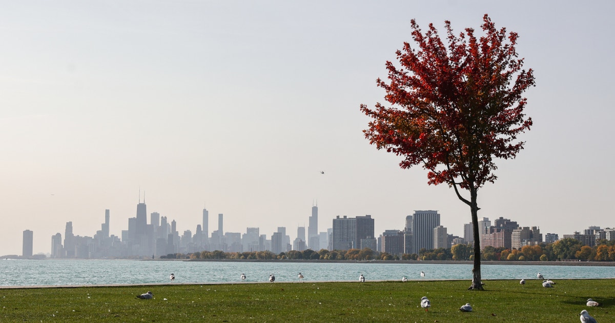 Chicago weather: A few showers could impact trick-or-treaters on Saturday
Emily Wahls has your weather update! CHICAGO - Chicagoland has been in and out of the clouds today with mid-afternoon temperatures ranging from upper 50s near the lakefront to near 70 degrees inland. Tonight will be…
-
 An early look at the Halloween forecast for the Chicago area: See the latest weather outlook
The Chicago area over the past few weeks has seen beautiful blue skies, mild conditions and warm October days. Will the weather stay that way for Halloween? Here's an early look at the holiday forecast and the weather…
-
 Cool and pleasant night ahead with another superb Sunday ahead for the stateline
(Rockford News First) - Man, it has been a down right amazing past week or two, with numerous days reaching 70 degrees or higher. Today has been no exception with highs in the lower to mid-70s across the stateline with…
-
 A little more cloud cover today, with warm temps
(Rockford News First) - We’re waking up to rather mild conditions today, with temperatures in the upper 40s. While it will be warm today, we will see a little more cloud cover than we have seen over the course of the…
-
 Still in the 70s even with more clouds this weekend
(Rockford News First) - After one of the most pleasant October weeks in recent memory, things are changing just a little bit over the weekend. Temperatures will be holding on the warmer side through the weekend with…
-
 Chicago weather: Sunny skies and 70s lead to a perfect fall weekend
Fox Chicago Meteorologist Kaitlin Cody breaks down today's weather outlook. CHICAGO - Today will be another fantastic weather day for Chicagoland. We are starting with a dense fog advisory in Lake County, Illinois until…
-
 Staying warm even with more weekend clouds
(Rockford News First) - This sunny and warm week ends on a beautiful note, but things are soon to change as we head into the last week of October. Sunshine reigns supreme through Friday, but make sure to enjoy it while…
-
 Fabulous Friday ahead for the stateline with clouds and breezy conditions returning Saturday
However, the rest of our day is looking down right perfect. We’ll see mostly sunny skies with temperatures topping out in the mid-70s. If you’ve been putting off any yard work, this afternoon might be a good time to…
Air quality
Acceptable. Unusually sensitive people should consider limiting prolonged outdoor exertion.
Forecast
- TueModerate
- WedModerate
- ThuModerate
Champaign, IL reporting area · 2 hrs ago. Data from AirNow (EPA and its state, local and tribal partners); preliminary and subject to change.
Sun & moon
Almanac
MonthlyChampaign 3s, records since 1888. Normals 1991–2020. Data from NOAA's Regional Climate Centers (ACIS).
Nearby
Forecasters' discussion
From the National Weather Service office in ILX, issued 3 hrs ago
Key Messages
- Above-normal warmth and mostly dry conditions are expected through Friday, with afternoon temperatures in the 70s to near 80 degrees, solidifying one of the warmest Octobers on record.
- Scattered, light showers carry a low chance (10-30%) Thursday into (20-40%) Friday, primarily near and north of I-72, offering no significant relief to ongoing dry conditions.
- A pattern shift is likely heading into the weekend and persisting into next week, increasing confidence in cooler, windier, and wetter conditions.
Discussion
Issued at 251 AM CDT Tue Oct 27 2026
This dry and warm pattern will continue for a few more days before true attempts to break the ridge down are made. Today, a shortwave will travel east across the area dampening the ridge a little before it builds back almost immediately. This shortwave should pass uneventful with no rain. Any rain activity should remain off to the north and west.
The next shortwave will cause a weak backdoor cold front to dip down into central IL on Thursday, then retreat back north as a warm front Friday, possibly bringing some very light rain north of I-72. However, it could also pass without any activity due to how dry our airmass is. As of now, there is a 10-30% chance of showers for daytime Thursday and a 20-40% chance of showers again Friday.
Another disturbance will follow closely behind Saturday, bringing a 30-50% chance for showers Saturday into Sunday. Amounts are forecast to be minimal (< 0.5 inch area wide). Whatever light rain manages to fall will do little to alleviate the ongoing dry stretch.
A much stronger low pressure system is shown to move through early next week. The Euro model is showing a deeper, stronger closed upper low (compared to the GFS and Canadian) traversing over the southern Plains. The Euro has the low center having a much more north track than the other, with the center moving into Iowa. The GFS has the upper low center moving across the Ohio Valley. The Euro depiction will affect central IL more than the GFS forecast. This system will bring the greatest chances for showers and thunderstorms to the area within the next week. There is a widespread 40-60% chance across central and southeastern IL.
Temperatures will continue to be above normal. Highs will be in the mid to upper 70s, nearing 80 in some places through Friday. Lows will be in the 50s. Temperatures will trend slightly cooler starting Saturday into next week. "Cooler" in this sense means temperatures will be in the low 70s for highs, still above normal. The CPC's 6-10 day, 8-14 day, and Week 3-4 outlooks are all still showing above normal temperatures.
Aviation
Issued at 554 AM CDT Tue Oct 27 2026
TEMPO groups were held at KBMI and KCMI for fog that should quickly subside with the sunrise. Aside from that, VFR conditions will prevail through the period with winds becoming southerly during the day before returning to light and variable overnight.
Ilx Watches
None.
Forecasts, observations and alerts in the United States come from the National Weather Service (NOAA); radar from NOAA's Multi-Radar Multi-Sensor system; satellite imagery from NASA's Global Imagery Browse Services (GIBS) and NOAA's GOES satellites; the map from the U.S. Geological Survey's National Map; air quality from AirNow (EPA and its partners); hurricane information from the National Hurricane Center; climate normals and records from NOAA's Regional Climate Centers (ACIS). Forecasts outside the United States and the UV index: MET Norway (CC BY 4.0); observations outside the U.S.: airport reports via NOAA's Aviation Weather Center. Place names: GeoNames (CC BY 4.0). Data are copied on a schedule and may lag the sources; for warnings that affect your safety, follow your local National Weather Service office and emergency officials. Weather news is drawn from the 4Conservative index and reflects what the press published. Terms of use. How to use Weather