Install
Fulton, IL Weather
Current conditions
Observed at Clinton Municipal Airport · 29 min ago
Forecast
10-day-
Tonight
Clear. Low around 42, with temperatures rising to around 44 overnight. Southeast wind 0 to 5 mph.
-
Wednesday
Sunny. High near 73, with temperatures falling to around 70 in the afternoon. South wind 0 to 5 mph.
-
Wednesday Night
Mostly clear, with a low around 47. South wind around 0 mph.
National Weather Service forecast updated 13 hrs ago.
Hourly
Hourly forecast- Now49°
- 1 AM48°
- 2 AM47°
- 3 AM46°
- 4 AM45°
- 5 AM44°
- 6 AM44°
- 7 AM43°
- 8 AM45°
- 9 AM50°
- 10 AM55°
- 11 AM61°
- 12 PM65°
- 1 PM69°
- 2 PM70°
- 3 PM71°
- 4 PM72°
- 5 PM70°
- 6 PM67°
- 7 PM64°
- 8 PM59°
- 9 PM57°
- 10 PM55°
- 11 PM54°
10-day forecast
Details- TueOct 20Sunny42°73°
- TodayOct 21Sunny47°73°
- ThuOct 22Sunny48°74°
- FriOct 23Sunny50°72°
- SatOct 24Mostly Sunny52°72°
- SunOct 25Partly Sunny48°71°
- MonOct 26Mostly Sunny then Slight Chance Rain Showers15%44°66°
- TueOct 27Cloudy48°58°
- WedOct 28Cloudy44°54°
- ThuOct 29Sunny41°54°
Days after the National Weather Service's seven are MET Norway's outlook, a computer model with no forecaster's review.
Radar
Full mapWeather news near Fulton
More weather news-
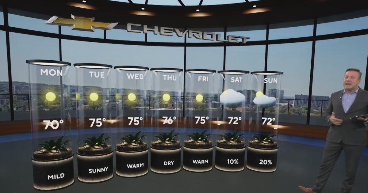 Sunshine and chilly mornings all week in Atlanta before weekend rain chances
CBS News Atlanta is a local news organization that is part of CBS News and Stations. Also referred to as WUPA and channel 69, CBS News Atlanta offers local breaking news, weather coverage and investigative reporting…
-
 Here is your Sunday forecast-FROST ADVISORY
FROST ADVISORY IN EFFECT FROM 3 AM EDT /2 AM CDT/ TO 9 AM EDT /8 AM CDT/ SUNDAY... * WHAT...Temperatures as low as 33 will result in frost formation. * WHERE...Cass IN, Fulton IN, Northern La Porte, Pulaski, Southern La…
-
 FIRST ALERT WEATHER: Sunday starts cold & ends mild
After a chilly Saturday morning in the 30s and lower 40s, the Ozarks enjoyed a pleasant afternoon with highs climbing into the upper 50s to middle 60s. The nice weather is sticking around for one more night — but with a…
-
 MI Grand Rapids MI Zone Forecast
for Saturday, October 17, 2026 278 FPUS53 KGRR 171822 Southwest Michigan Zone Forecast National Weather Service Grand Rapids MI Including the city of Grand Rapids Including the cities of Grand Haven and Jenison the…
- IN Paducah KY Zone Forecast
for Friday, October 16, 2026 140 FPUS53 KPAH 171034 National Weather Service Paducah KY Including the city of Fort Branch 30s. Northeast winds around 5 mph in the evening, becoming light 632 AM EDT Sat Oct 17 2026…
-
 Dangerous Freeze Watch for Parts of Indiana and Michigan as Temperatures Drop
A Freeze Watch is in effect for northern, east central and southeast Indiana from late Saturday night through Sunday morning, with lows as cold as 31 degrees possible. A Frost Advisory comes first, for parts of northern…
- MI WFO DETROIT Warnings, Watches, and Advisories
WFO DETROIT Warnings, Watches and Advisories for Saturday, October 17, 2026 URGENT - WEATHER MESSAGE 159 PM EDT Fri Oct 16 2026 Sanilac, St. Clair, Washtenaw, and Wayne Counties. outdoor plants may be killed if left…
- OH WFO CINCINNATI Warnings, Watches, and Advisories
WFO CINCINNATI Warnings, Watches and Advisories for Sunday, October 18, 2026 URGENT - WEATHER MESSAGE National Weather Service Wilmington OH 130 PM EDT Fri Oct 16 2026 and northern Kentucky, and central, south central…
-
 Friday Morning Forecast 10/16/26
KRCG offers coverage of news, sports, weather and local events in the Columbia and Jefferson City, Missouri area, including the communities of New Bloomfield, Shaw, Boonville, Ashland, Hallsville, Sturgeon, Centralia…
-
 Thursday Morning Forecast 10/15/26
KRCG offers coverage of news, sports, weather and local events in the Columbia and Jefferson City, Missouri area, including the communities of New Bloomfield, Shaw, Boonville, Ashland, Hallsville, Sturgeon, Centralia…
Sun & moon
Almanac
MonthlyClinton No 1, records since 1893. Normals 1991–2020. Data from NOAA's Regional Climate Centers (ACIS).
Nearby
- Davenport 52 km
- Moline 50 km
- Rock Island 53 km
- Bettendorf 48 km
- Clinton 4 km
- East Moline 47 km
- Dixon 56 km
- Sterling 39 km
- Rock Falls 40 km
- Silvis 45 km
- Geneseo 47 km
- Eldridge 42 km
Forecasters' discussion
From the National Weather Service office in DVN, issued 37 min ago
Key Messages
- Above normal temperatures are forecast to continue this week and there is a 55% chance they they will continue through the end of October.
Short Term
Issued at 109 PM CDT Tue Oct 20 2026
Ridging is forecast to continue to build northward across Iowa through the day on Wednesday. Shortwave energy near the ridge axis may bring periods of clouds through the area especially tonight into Wednesday morning. Nudged temperatures downward by 1 to 2 degrees tonight and Wednesday night based on trends from the past several nights. Based on persistence high temperatures on Wednesday will be 1 to 2 degrees warmer than todays with southerly winds around 5 MPH.
Long Term
Issued at 109 PM CDT Tue Oct 20 2026
Thursday through Saturday, ridging is forecast to build northward into southern Canada as high pressure at the surface moves into the Mid Atlantic states. As the surface high moves off shore Friday into Saturday, the pressure gradient across the Midwest will gradually tighten leading to potentially breezy conditions Friday into Saturday. High temperatures will gradually modify each day with highs in the 70s. Cloud cover may also increase Friday into Saturday as a storm system develops to our west.
Sunday through Monday, a 500 mb shortwave trough is forecast to dig into the Upper Midwest. This pushes a cold front southeastward across the area early next week. This front will gradually become parallel to the flow as it moves southeastward early next week causing it to stall out in southern Iowa or northern Missouri. The NBM has 15 to 25% chance POPs Sunday night through Monday across the area. High temperatures on Sunday remain in the lower to mid 70s ahead of the front with temperatures falling into the 60s on Monday behind the front. Despite cooler high temperatures, these remain above normal for the last week of October when high temperatures are normally in the mid to upper 50s. Rainfall amounts will be light with less than a tenth of an inch for rainfall.
Aviation
Issued at 1212 AM CDT Wed Oct 21 2026
VFR conditions will prevail through the period. A weak disturbance will bring a mid level cloud deck around 20 kft to all terminals but DBQ. No precipitation is expected with this disturbance due to the dry air in place. Winds will shift from southeasterly to south- southwesterly around 21/13-15Z but will remain around 5-10 kts or lower.
Forecasts, observations and alerts in the United States come from the National Weather Service (NOAA); radar from NOAA's Multi-Radar Multi-Sensor system; satellite imagery from NASA's Global Imagery Browse Services (GIBS) and NOAA's GOES satellites; the map from the U.S. Geological Survey's National Map; air quality from AirNow (EPA and its partners); hurricane information from the National Hurricane Center; climate normals and records from NOAA's Regional Climate Centers (ACIS). Forecasts outside the United States and the UV index: MET Norway (CC BY 4.0); observations outside the U.S.: airport reports via NOAA's Aviation Weather Center. Place names: GeoNames (CC BY 4.0). Data are copied on a schedule and may lag the sources; for warnings that affect your safety, follow your local National Weather Service office and emergency officials. Weather news is drawn from the 4Conservative index and reflects what the press published. Terms of use.