Install
Rupert, ID Weather
Current conditions
Forecast for this hour (no station report in the last two hours)
Forecast
10-day-
Tonight
A slight chance of rain between 4am and 5am. Partly cloudy. Low around 44, with temperatures rising to around 46 overnight. East wind 3 to 7 mph. Chance of precipitation is 20%.
-
Wednesday
Mostly sunny, with a high near 72. East wind around 7 mph.
-
Wednesday Night
Mostly clear, with a low around 45. East southeast wind around 6 mph.
National Weather Service forecast updated 13 hrs ago.
Hourly
Hourly forecast- Now68°
- 7 PM66°
- 8 PM61°
- 9 PM57°
- 10 PM54°
- 11 PM52°
- Wed12 AM50°
- 1 AM49°
- 2 AM48°10%
- 3 AM47°12%
- 4 AM47°18%
- 5 AM46°12%
- 6 AM46°
- 7 AM46°
- 8 AM45°
- 9 AM47°
- 10 AM52°
- 11 AM57°
- 12 PM62°
- 1 PM65°
- 2 PM69°
- 3 PM70°
- 4 PM70°
- 5 PM71°
10-day forecast
Details- TodayOct 20Mostly Sunny18%44°71°
- WedOct 21Mostly Sunny45°72°
- ThuOct 22Mostly Sunny then Chance Showers And Thunderstorms95%40°69°
- FriOct 23Light Rain Likely71%30°48°
- SatOct 24Sunny32°50°
- SunOct 25Sunny34°57°
- MonOct 26Mostly Sunny12%35°58°
- TueOct 27Cloudy36°60°
- WedOct 28Partly cloudy37°61°
- ThuOct 29Cloudy39°61°
Days after the National Weather Service's seven are MET Norway's outlook, a computer model with no forecaster's review.
Radar
Full mapWeather news near Rupert
More weather news-
 Dangerous Freeze Warnings Issued for Nevada, Idaho and Utah as Temperatures Plummet
Freeze Warnings are in effect tonight across parts of Utah, Nevada and Idaho, with lows in the mid to upper 20s on the Snake River Plain around Idaho Falls and Pocatello, and 28 in Lincoln County, Nevada. The warnings…
-
 Video. Weather Europe Today (2026/10/14)
Euronews.com Video. Weather Europe Today (2026/10/14) Get the latest weather forecast from Euronews, covering conditions across Europe and around the world. Our regular weather update walks you through temperatures…
-
 Video. Weather World Today (2026/10/14)
Euronews.com Video. Weather World Today (2026/10/14) Get the latest weather forecast from Euronews, covering conditions across Europe and around the world. Our regular weather update walks you through temperatures…
-
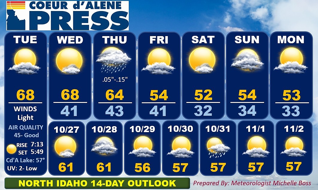 North Idaho 14-day weather forecast
Coeur d'Alene Press North Idaho 14-day weather forecast
-
 Sophia Cruz's Idaho News 6 Forecast - 10/16/2026
KIVI-TV Sophia Cruz's Idaho News 6 Forecast - 10/16/2026
-
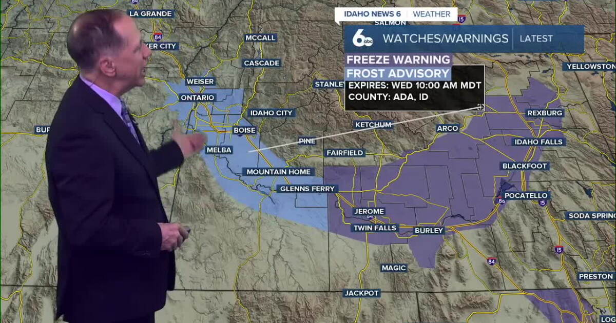 One More Frosty Morning, Then Idaho Warms Into the 70s
Wednesday morning will be the coldest part of the forecast. A Frost Advisory remains in effect for parts of the Snake River Plain, while colder air settling into the western Magic Valley will send temperatures down to…
Air quality
Air quality is satisfactory, and air pollution poses little or no risk.
Forecast
- TueGood (20)
- WedGood (20)
- ThuGood
Twin Falls, ID reporting area · 1 hr ago. Data from AirNow (EPA and its state, local and tribal partners); preliminary and subject to change.
Sun & moon
Almanac
MonthlyBurley Municipal Airport, records since 1948. Normals 1991–2020. Data from NOAA's Regional Climate Centers (ACIS).
Nearby
Forecasters' discussion
From the National Weather Service office in PIH, issued 17 hrs ago
Key Messages
- Very warm through Thursday with isolated showers and thunderstorms Today and Wednesday.
- Wet conditions Thursday and Friday and turning much colder Friday.
- Drying this weekend.
Discussion
Issued at 129 AM MDT Tue Oct 20 2026
Forecast hasn't changed significantly with regards to the next system. The low pressure system will stall off the coast of central California today and stay there into Wednesday. The low will begin to move inland on Thursday and then weaken and pass over eastern Idaho Friday. The low will depart the region by Saturday. Expect isolated showers and storms Today through Wednesday with very little rainfall expected. Rain chances increase on Thursday with rain likely overspreading the region Thursday night into Friday. The rain should come to an end by Saturday morning. Rainfall amounts are still quite uncertain and dependent upon rain intensity and the exact track of the low through the region. The mean qpf from the NBM continues to show 1.00 to 1.50 inches across East Idaho with 0.50 to 1.00 over the Magic Valley into the central mountains. The 10th percentile still supports 0.50 to 1.00 inches for East Idaho with 0.10 to 0.50 inches for the Magic Valley and central mountains. However the 90th percentile paints 1.50 to 2.00 inches across the entire region. The forecast qpf from WPC favors the 25th percentile. Snow with this event will probably not be terribly impactful. Snow levels may fall to pass level as the precipitation is about to exit the region. Temperatures will continue to run above normal into Thursday. Looks like a 20 to 25 degree drop in temperatures between Thursday and Friday for highs.
Aviation
Issued at 129 AM MDT Tue Oct 20 2026
A few virga showers may encroach upon TAF sites today. However not expecting significant impacts. Winds should remain relatively light today.
Fire Weather
Issued at 129 AM MDT Tue Oct 20 2026
Isolated showers and thunderstorms are expected today and Wednesday. Rainfall amounts should be very light. Widespread wetting rains will arrive Thursday afternoon and Thursday night.
Forecasts, observations and alerts in the United States come from the National Weather Service (NOAA); radar from NOAA's Multi-Radar Multi-Sensor system; satellite imagery from NASA's Global Imagery Browse Services (GIBS) and NOAA's GOES satellites; the map from the U.S. Geological Survey's National Map; air quality from AirNow (EPA and its partners); hurricane information from the National Hurricane Center; climate normals and records from NOAA's Regional Climate Centers (ACIS). Forecasts outside the United States and the UV index: MET Norway (CC BY 4.0); observations outside the U.S.: airport reports via NOAA's Aviation Weather Center. Place names: GeoNames (CC BY 4.0). Data are copied on a schedule and may lag the sources; for warnings that affect your safety, follow your local National Weather Service office and emergency officials. Weather news is drawn from the 4Conservative index and reflects what the press published. Terms of use.