Install
Filer, ID Weather
Current conditions
Forecast for this hour (no station report in the last two hours)
Forecast
10-day-
Tonight
A slight chance of rain showers after midnight. Partly cloudy. Low around 46, with temperatures rising to around 50 overnight. Southeast wind 7 to 10 mph. Chance of precipitation is 20%.
-
Wednesday
Sunny, with a high near 75. East southeast wind 8 to 12 mph.
-
Wednesday Night
Mostly clear, with a low around 50. Southeast wind around 10 mph.
National Weather Service forecast updated 9 hrs ago.
Hourly
Hourly forecast- Now53°20%
- 3 AM52°23%
- 4 AM50°23%
- 5 AM50°23%
- 6 AM49°12%
- 7 AM47°12%
- 8 AM46°12%
- 9 AM50°12%
- 10 AM56°12%
- 11 AM61°12%
- 12 PM65°
- 1 PM69°
- 2 PM72°
- 3 PM74°
- 4 PM75°
- 5 PM75°
- 6 PM73°
- 7 PM69°
- 8 PM64°
- 9 PM62°
- 10 PM61°
- 11 PM60°
- Thu12 AM59°
- 1 AM57°
10-day forecast
Details- TonightOct 20Partly Cloudy then Slight Chance Rain Showers23%46°
- TodayOct 21Sunny12%50°75°
- ThuOct 22Partly Sunny then Chance Showers And Thunderstorms86%43°71°
- FriOct 23Rain Showers Likely69%35°52°
- SatOct 24Sunny34°55°
- SunOct 25Sunny37°61°
- MonOct 26Mostly Sunny37°61°
- TueOct 27Mostly Sunny61°
- WedOct 28Cloudy40°65°
- ThuOct 29Cloudy43°66°
Days after the National Weather Service's seven are MET Norway's outlook, a computer model with no forecaster's review.
Radar
Full mapWeather news near Filer
More weather news-
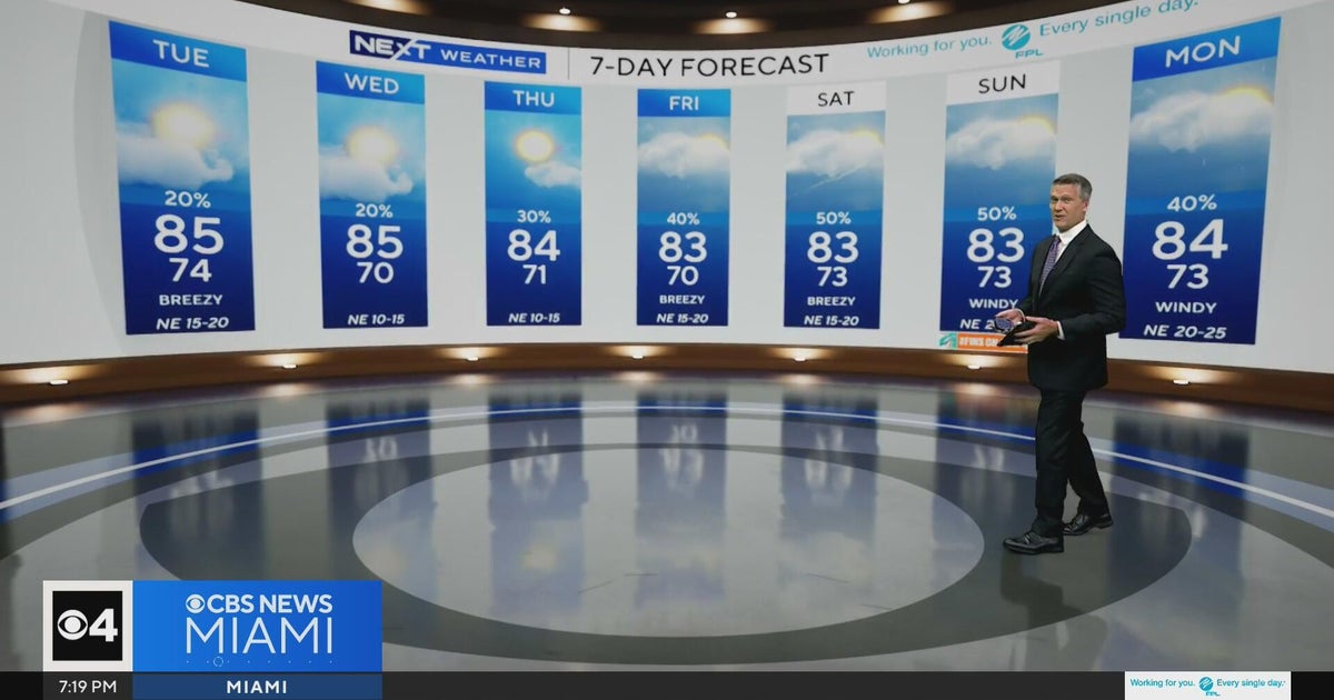 Temperatures lower to the early 80s and late 70s throughout South Florida
CBS News Miami is a local news organization that is part of CBS News and Stations. Also referred to as WFOR-TV and channel 4, CBS News Miami offers local breaking news, weather coverage and investigative reporting…
-
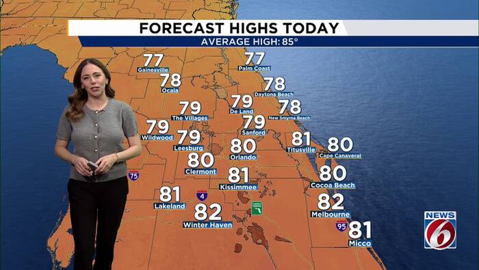 Pleasant weather continues as Invest 93L stirs up rough seas this week.
WKMG Pleasant weather continues as Invest 93L stirs up rough seas this week. Peacock problems: Casselberry considering change to bird sanctuary rules Lawsuit filed by homeowners in Vistas at Phillips Commons Casselberry…
-
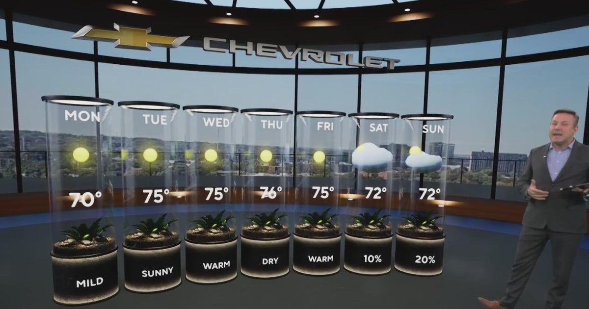 Sunshine and chilly mornings all week in Atlanta before weekend rain chances
CBS News Atlanta is a local news organization that is part of CBS News and Stations. Also referred to as WUPA and channel 69, CBS News Atlanta offers local breaking news, weather coverage and investigative reporting…
-
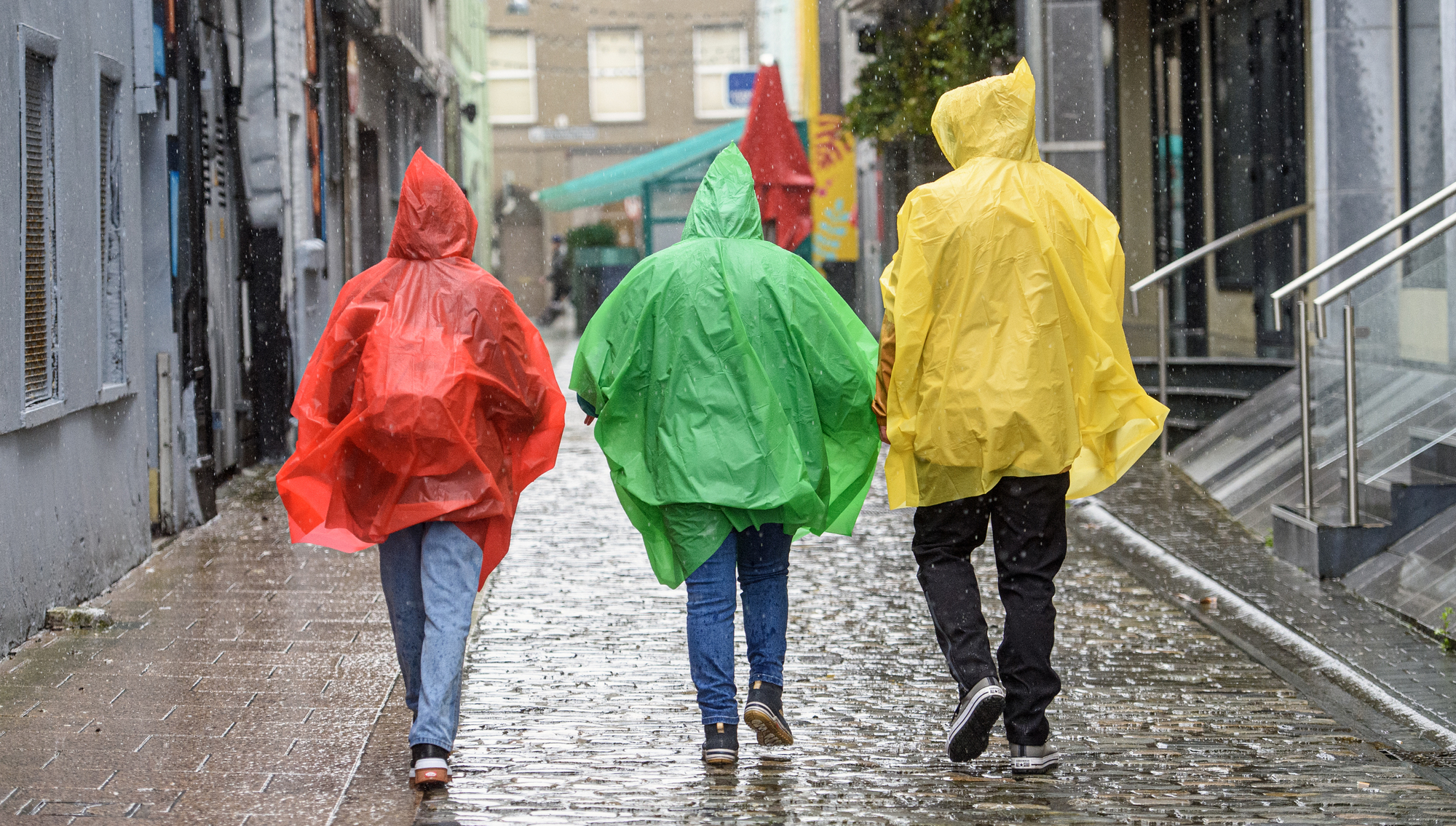 Flooding threat as Storm Austen triggers status yellow rain alert
Dressed for the rain on the South Mall, Cork were Edzel, Andrea and Aurora Carrillos as Met Éireann issue a wind and rain warning for Kerry and Cork. File picture: Dan Linehan A status yellow rain warning has been…
-
 Brits brace for heavy rain and 70mph gales as first named storm of the season set to batter UK this week
Britain could be hit by the first named storm of the season this weekend as the Met Office warned of strong winds and torrential rain. A yellow weather warning for wind will come into force on Friday morning across…
-
 Mumbai weather updates: Hot and humid conditions to continue on Sunday, IMD forecasts dry weather
Mumbai weather: Hot and humid conditions to continue on Sunday, IMD forecasts dry weather Mid-Day Home / Mumbai / Mumbai News / Article / Mumbai weather: Hot and humid conditions to continue on Sunday, IMD forecasts dry…
-
 Serious touch of cold weather arrived Friday night
Mother Nature is giving our area another reminder about cold weather. A frost advisory was in effect overnight into Saturday with temperatures dipping down to the middle 30's Saturday morning. Drivers were scrapping car…
- WEATHER ALERT: Freeze Warning issued for counties south of US-10
Posted Yesterday At 4:31pm by B. Wirth The National Weather Service has issued a freeze warning for overnight Saturday, Oct. 17. Subfreezing temperatures as low as 31 degrees are expected from midnight to 8 a.m. The…
-
 Mumbai weather updates: Mumbai to remain hot and humid; IMD predicts thunderstorms, gusty winds in parts of Maharashtra
Updated On: 16 October, 2026 04:02 PM IST | Mumbai | mid-day online correspondent Mumbai and Thane are expected to experience warm and humid weather over the weekend. The weather is expected to remain largely dry on…
-
 First widespread frost of season expected in Lancaster County this weekend
The temperature could dip below 30 degrees early Sunday morning in parts of central Pennsylvania, including Lancaster County, according to the National Weather Service in State College. The weather service issued a…
Air quality
Air quality is satisfactory, and air pollution poses little or no risk.
Forecast
- WedGood (20)
- ThuGood
- FriGood
Twin Falls, ID reporting area · 1 hr ago. Data from AirNow (EPA and its state, local and tribal partners); preliminary and subject to change.
Sun & moon
Almanac
MonthlyJerome Area, records since 1915. Normals 1991–2020. Data from NOAA's Regional Climate Centers (ACIS).
Nearby
Forecasters' discussion
From the National Weather Service office in BOI, issued 2 hrs ago
Update
Updated aviation discussion.
Key Messages
- Continued warm and dry through most of Wednesday.
- A chance of showers will spread northward into the area Wednesday night, then become widespread Thursday and Thursday night.
- Slight chance of thunderstorms Wednesday afternoon/evening, then a better chance Thursday afternoon and evening.
- Becoming windy late Thursday night behind a cold front.
- Much cooler Friday.
Boi Watches
ID...None.
OR...None.
Forecasts, observations and alerts in the United States come from the National Weather Service (NOAA); radar from NOAA's Multi-Radar Multi-Sensor system; satellite imagery from NASA's Global Imagery Browse Services (GIBS) and NOAA's GOES satellites; the map from the U.S. Geological Survey's National Map; air quality from AirNow (EPA and its partners); hurricane information from the National Hurricane Center; climate normals and records from NOAA's Regional Climate Centers (ACIS). Forecasts outside the United States and the UV index: MET Norway (CC BY 4.0); observations outside the U.S.: airport reports via NOAA's Aviation Weather Center. Place names: GeoNames (CC BY 4.0). Data are copied on a schedule and may lag the sources; for warnings that affect your safety, follow your local National Weather Service office and emergency officials. Weather news is drawn from the 4Conservative index and reflects what the press published. Terms of use.