Install
La Porte City, IA Weather
Current conditions
Observed at Vinton, Vinton Veterans Memorial Airpark Airport · 1 hr ago
Forecast
10-day-
This Afternoon
Partly sunny. High near 66, with temperatures falling to around 64 in the afternoon. East wind around 9 mph.
-
Tonight
Mostly cloudy. Low around 49, with temperatures rising to around 51 overnight. East southeast wind around 12 mph.
-
Tuesday
Mostly cloudy. High near 71, with temperatures falling to around 69 in the afternoon. South southeast wind around 12 mph.
National Weather Service forecast updated 2 hrs ago.
Hourly
Hourly forecast- Now64°
- 6 PM61°
- 7 PM60°
- 8 PM58°
- 9 PM57°
- 10 PM56°
- 11 PM55°
- Tue12 AM54°
- 1 AM53°
- 2 AM52°
- 3 AM52°
- 4 AM51°
- 5 AM51°
- 6 AM51°
- 7 AM51°
- 8 AM53°
- 9 AM56°
- 10 AM58°10%
- 11 AM62°10%
- 12 PM65°
- 1 PM68°
- 2 PM69°
- 3 PM69°10%
- 4 PM71°10%
10-day forecast
Details- TodayOct 26Partly Sunny49°66°
- TueOct 27Mostly Cloudy10%54°71°
- WedOct 28Mostly Sunny71%57°75°
- ThuOct 29Rain Showers Likely then Partly Sunny71%48°72°
- FriOct 30Showers And Thunderstorms Likely67%54°70°
- SatOct 31Chance Showers And Thunderstorms60%54°70°
- SunNov 1Slight Chance Rain Showers then Mostly Cloudy36%53°70°
- MonNov 2Heavy rain1.41 in53°69°
- TueNov 3Sunny42°56°
- WedNov 4Mostly sunny37°62°
Days after the National Weather Service's seven are MET Norway's outlook, a computer model with no forecaster's review.
Radar
Full mapWeather news in Iowa
More weather news-
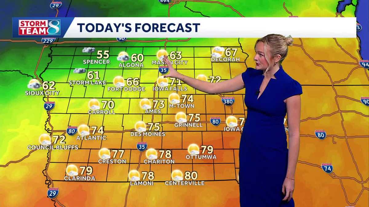 Iowa weather: A beautiful Sunday before rain chances ramp up
It'll be another perfect fall day today with high temperatures slightly cooler than yesterday in the mid 70s and less of a breeze. A cold front slowly moving across the state today will keep temperatures in northern…
-
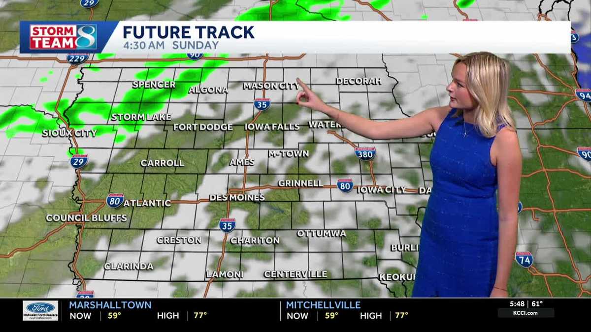 Iowa weather: A warm weekend before spotty showers next week
We'll have a great day for outdoor plans this Saturday with highs warmer than average in the upper 70s with a mix of sun and clouds. It'll be less gusty compared to yesterday but still breezy with gusts up to 20mph…
-
 AP Trending SummaryBrief at 12:34 p.m. EDT
How daylight saving time changes affect you and what you can do about it How daylight saving time changes affect you and what you can do about it It's almost time for most Americans to set their clocks back an hour…
- AP Trending SummaryBrief at 11:53 a.m. EDT
How daylight saving time changes affect you and what you can do about it How daylight saving time changes affect you and what you can do about it It's almost time for most Americans to set their clocks back an hour…
-
 Vance no longer a hurricane but still threatens Mexico’s Pacific coast as a tropical storm
MIAMI — A gradually weakening Tropical Storm Vance churned Sunday off Mexico’s southwest Pacific coast but still threatened heavy rains and flash flooding in several western states of the country. Vance, a former…
-
 Vance no longer a hurricane but as a tropical storm still threatens Mexico's Pacific coast
Tropical Storm Vance is churning off Mexicoâs southwest Pacific coast after a day of gradual weakening but is threatening several western states in that country with heavy rain and possible flash flooding. Elsewhere…
-
 Carmelo’s First Alert 6 Forecast: Light rain tonight, unsettled at times this week
OMAHA, Neb. (WOWT) - Light rain is possible late this evening and into the overnight hours here in Omaha, with scattered showers potentially continuing into Monday morning. Don’t expect much — amounts will be very…
-
 Continued rain chances this week followed by warmer temperatures
SIOUX CITY (KTIV) - A few showers moved over Siouxland last night, and there is more widespread rain on the way. Widespread showers move into Siouxland Sunday night under an overcast sky. Winds will remain out of the…
-
 Chicago facing last week of warm weather before temperature drops
The week leading up to Halloween will likely be the last with highs in the 70s before weather patterns turn colder and stormier. Highs in the Chicago area could reach 75 degrees Sunday, according to the National Weather…
-
 Plenty of rain chances ahead along with a steady warming trend likely
SIOUX CITY (KTIV) - A cool Sunday is ahead along with more rain chances throughout the day and into next week. A steady warming trend is also likely across the area. Above average temperatures are expected. A cool and…
Air quality
Acceptable. Unusually sensitive people should consider limiting prolonged outdoor exertion.
Forecast
- MonModerate (58)
- TueModerate (58)
- WedModerate (58)
Northeast Iowa, IA reporting area · 1 hr ago. Data from AirNow (EPA and its state, local and tribal partners); preliminary and subject to change.
Sun & moon
Almanac
MonthlyWaterloo Area, records since 1895. Normals 1991–2020. Data from NOAA's Regional Climate Centers (ACIS).
Nearby
- Cedar Rapids 57 km
- Waterloo 23 km
- Cedar Falls 31 km
- Marion 58 km
- Waverly 51 km
- Hiawatha 52 km
- Oelwein 46 km
- Independence 30 km
- Vinton 21 km
- Evansdale 19 km
- Robins 51 km
- Tama 50 km
Forecasters' discussion
From the National Weather Service office in DMX, issued 3 hrs ago
Key Messages
- Light rain chances over western into north central Iowa lifting out of the state overnight. A few additional showers southwest into central Iowa on Tuesday.
- Additional, periodic rain and storm chances from midweek into early next week with dry intervals between these chances. Widespread shower and storm chances are forecast later Wednesday into Wednesday night and then again late Thursday night through at least Saturday.
- For Wednesday's storm chances, a few strong storms are possible and it cannot be completely ruled out a severe storm or two.
- Temperatures remain seasonal if not above normal through the next week.
Short Term
Issued at 140 PM CDT Mon Oct 26 2026
The forecast over the next week can be summarized as featuring seasonal if not above normal temperatures paired with interval chances for showers and at times thunderstorms. For the next couple of days, there are a series of shortwave troughs moving through the northern and southern stream flow that will bring rain chances to various portions of the state. The first round of showers is ongoing this afternoon over northwest and far northern Iowa where the strongest low level thermodynamic forcing is located, which is on the northwestern periphery of a zone of mid-level ridging that is centered over the central Gulf Coast States. This forcing is ahead of a northern stream shortwave trough, which will lift northeastward into Minnesota by Tuesday morning bringing an end to the showers over Iowa. With more cloud cover and the showers that have occurred at times today over northern Iowa in our forecast area, this has resulted in lowering temperatures below the initial National Blend of Models (NBM) forecast.
While the showers will have ended over northern Iowa by sunrise Tuesday as the northern stream wave pulls away, a southern stream shortwave trough will be advancing towards southeastern Iowa. This may lead to a few showers, but coverage of any showers is expected to be more minimal over the state compared to what it is/was today. This is expected as forecast soundings and cross sections show a ribbon of saturation of great vertical depth from southwest into northeast Iowa with weak forcing within this layer/ribbon. While anywhere in this ribbon could see light rain, have focused low (~20%) chances over southwest into central Iowa for now where the relatively strongest lift is forecast. Outside of this light rain area, there is a good amount of dry air overtop the low level saturation so limited sunshine/good amount of cloud cover is expected elsewhere in the state. NBM once again looks too aggressive with warmth, especially over northern and western Iowa, and have adjusted highs down in these areas by 2 to 3 degrees with lesser to no change in our southeastern forecast area. A shower or two may remain possible Tuesday night, but the decreasing depth of saturation and the weak lift precludes any mention above 15% at this time.
Yet another shortwave trough - from the northern stream this time - will press eastward over the northern states and southern Canadian prairies on Wednesday with a surface cold front stretched through the northern into the central Plains. Ahead of this front, breezy winds from the south and warm conditions will prevail. This front will bring more widespread shower and thunderstorm chances later Wednesday into Wednesday night. Appreciable instability is forecast to pool along this boundary along with favorable low level kinematics and deep layer shear pointing to at least a few strong storms. This is hinted at in this morning's day 3 SPC outlook. A few isolated, elevated severe storms are possible, which is supported by the AI/ML severe probabilities; however, the weak lapse rates may negate this severe potential.
Long Term
Issued at 140 PM CDT Mon Oct 26 2026
Any storms are expected to have ended by sunrise Thursday morning as the front clears the forecast area stalling just south of Iowa. After a short dry period Thursday, this boundary will lift back northward over the state as low level theta-e advection ensues Thursday night into Friday ahead of the next southern stream shortwave. The shower and storm chances will be prolonged Friday into at least Saturday, though there are likely to be some breaks. Further, will need to monitor diurnal ranges as highs may be too high and lows too low in the cloudy and damp period. Even if temperatures were lowered now, they would still be seasonal as typical late October highs are in the upper 50s to around 60 degrees. With the southern stream wave lifting over Iowa on Sunday, this may bring some drier conditions back over the state late in the weekend. By early next week, a few deterministic models are more amplified or negatively tilted with a trough approaching the region; however, ensembles and AI guidance are generally lower amplitude and less wound up. The takeaway is that a trough of some variety and tilt will be moving through the region early next week and this should spur a continuation of more active weather/shower and storm chances Monday into Tuesday. Confidence in any details beyond this are low at this time.
Aviation
Issued at 1211 PM CDT Mon Oct 26 2026
VFR conditions will prevail through this evening at the terminals as breezy winds from the east turn to and blow from the southeast overnight. Mid and high level clouds will also spread and thicken over the state tonight. MVFR ceilings will also be approaching from the west and confidence is sufficient to show MVFR restrictions at FOD around sunrise Tuesday. Similar ceilings may reach MCW near the end of this period, but confidence in this occurring at this terminal is less so have left out for now.
Forecasts, observations and alerts in the United States come from the National Weather Service (NOAA); radar from NOAA's Multi-Radar Multi-Sensor system; satellite imagery from NASA's Global Imagery Browse Services (GIBS) and NOAA's GOES satellites; the map from the U.S. Geological Survey's National Map; air quality from AirNow (EPA and its partners); hurricane information from the National Hurricane Center; climate normals and records from NOAA's Regional Climate Centers (ACIS). Forecasts outside the United States and the UV index: MET Norway (CC BY 4.0); observations outside the U.S.: airport reports via NOAA's Aviation Weather Center. Place names: GeoNames (CC BY 4.0). Data are copied on a schedule and may lag the sources; for warnings that affect your safety, follow your local National Weather Service office and emergency officials. Weather news is drawn from the 4Conservative index and reflects what the press published. Terms of use. How to use Weather