Install
Destin, FL Weather
Current conditions
Observed at Destin, Destin-Ft. Walton Beach Airport · 45 min ago
Forecast
10-day-
Today
Sunny, with a high near 76. Northeast wind around 10 mph.
-
Tonight
Clear, with a low around 59. Northeast wind around 10 mph.
-
Wednesday
Sunny, with a high near 78. Northeast wind around 10 mph.
National Weather Service forecast updated 5 hrs ago.
Hourly
Hourly forecast- Now59°
- 9 AM60°
- 10 AM63°
- 11 AM66°
- 12 PM69°
- 1 PM71°
- 2 PM74°
- 3 PM74°
- 4 PM74°
- 5 PM75°
- 6 PM72°
- 7 PM71°
- 8 PM70°
- 9 PM68°
- 10 PM66°
- 11 PM65°
- Wed12 AM64°
- 1 AM63°
- 2 AM62°
- 3 AM61°
- 4 AM60°
- 5 AM60°
- 6 AM59°
- 7 AM59°
10-day forecast
Details- TodayOct 20Sunny59°76°
- WedOct 21Sunny59°78°
- ThuOct 22Sunny60°78°
- FriOct 23Sunny60°77°
- SatOct 24Sunny59°77°
- SunOct 25Sunny59°76°
- MonOct 26Sunny59°77°
- TueOct 27Mostly sunny61°77°
- WedOct 28Cloudy66°74°
- ThuOct 29Cloudy66°80°
Days after the National Weather Service's seven are MET Norway's outlook, a computer model with no forecaster's review.
Radar
Full mapWeather news near Destin
More weather news-
 Hurricane center continues to track system off US East Coast
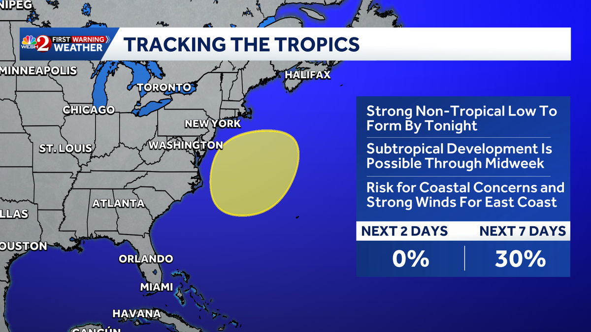
The National Hurricane Center continued Monday to keep an eye on a system off the U.S. East Coast with the potential to develop into a more dangerous storm. As of the NHC’s 8 a.m. tropical outlook, a nontropical area of…
-
 NHC monitoring Atlantic disturbance off southeast coast of US
The National Hurricane Center began monitoring a new disturbance in the Atlantic on Saturday off the southeast coast of the United States. A strong non-tropical low-pressure area is expected to form by Sunday night off…
- Hurricane center in Florida tracking expected storm off US East Coast
The National Hurricane Center in Miami, Florida is tracking a system off the U.S. East Coast Sunday, Oct. 18, according to the agency's 8 a.m. advisory. The system could become a nor'easter or even a tropical storm…
-
 Hurricane center tracking system off US East Coast
The National Hurricane Center continued Sunday to forecast a system could develop off the U.S. East Coast that has the potential to develop into a more dangerous storm. As of the NHC’s 8 a.m. tropical outlook, a…
-
 El Niño Could Leave the East Coast Facing Bigger Threat Than Hurricanes
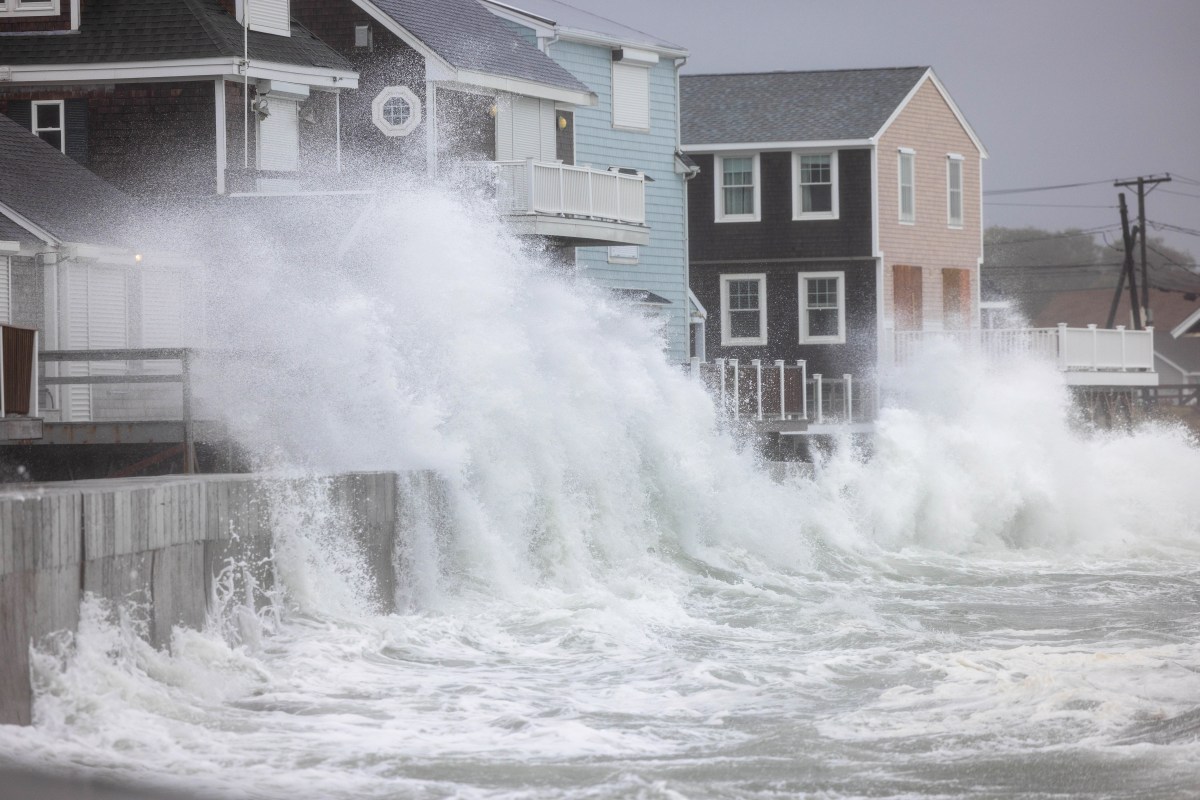
Oct 17, 2026 at 07:29 PM EDT As a new nor'easter takes shape in the Atlantic, meteorologists are warning that the widespread impacts associated with such coastal storms could pose a greater threat to parts of the U.S…
-
 NHC monitoring new Atlantic disturbance
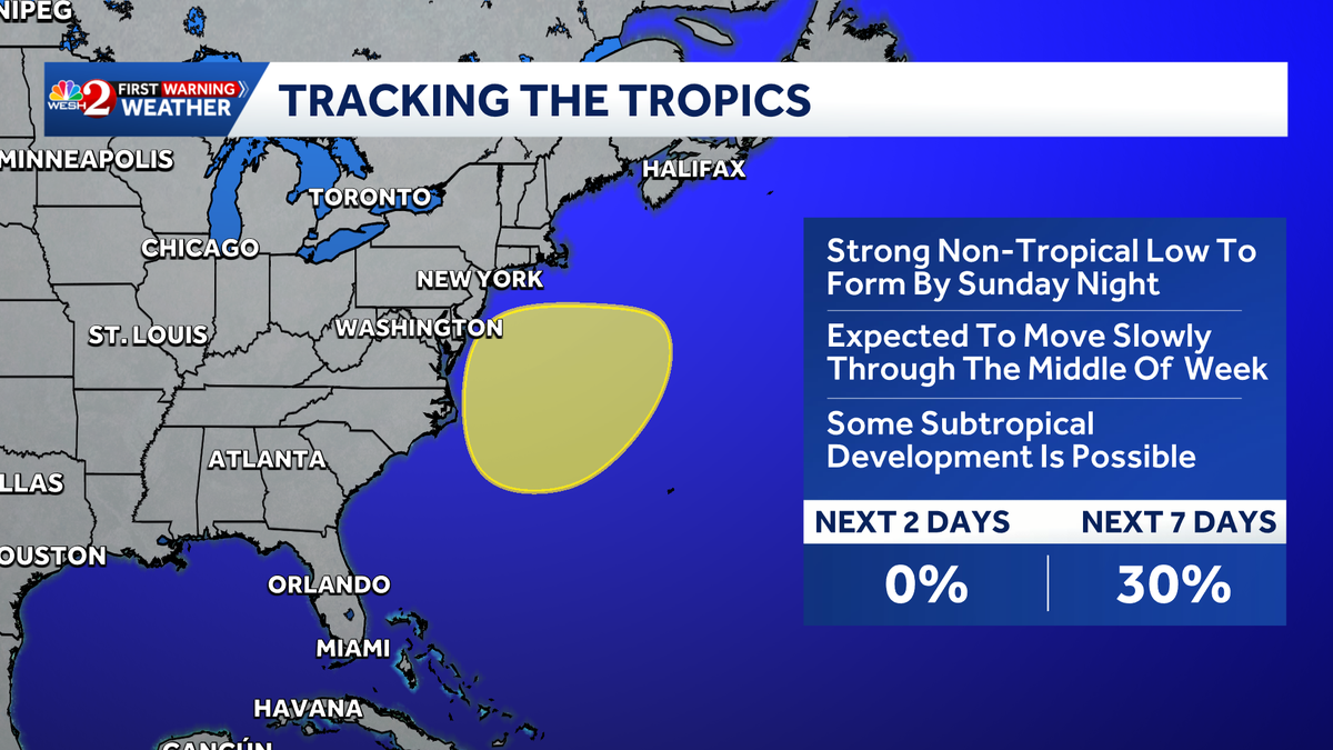
The National Hurricane Center began monitoring a new disturbance in the Atlantic on Saturday. A strong non-tropical low pressure area is expected to form by Sunday night off the southeast coast of the United States…
- Here's what the National Hurricane Center in Florida is tracking today
The tropics remain quiet on Saturday, Oct.17 and tropical cyclone formation is not expected over the next seven days for the Atlantic, Caribbean and Gulf, according to the latest update from the National Hurricane…
-
 Tropical cyclone trio stirs claims of weather manipulation online
" It is so painfully clear that the three hurricanes arriving at the same time are engineered," says an October 13, 2026 post on X. The post was responding to another that questioned the origin of Hurricane Isaias, the…
- Tropical development off Florida next week uncertain. Cold front coming
The tropics continue to remain quiet, but opinions differ on whether that will last through the month. The National Hurricane Center said early Oct. 15 no tropical cyclone activity is expected over the next seven days…
-
 ???Sting jet??? whips area
The area got a late-season surprise as warnings of Hurricane Isaias began last week, the latest first hurricane of the season in more than 120 years. According to the National Hurricane Center, Hurricane Isaias made…
Air quality
Forecast
- TueGood
- WedGood
- ThuGood
Okaloosa County, FL reporting area. Data from AirNow (EPA and its state, local and tribal partners); preliminary and subject to change.
Sun & moon
Almanac
MonthlyValparaiso Eglin Afb, records since 1949. Normals 1991–2020. Data from NOAA's Regional Climate Centers (ACIS).
Nearby
- Santa Rosa Beach 26 km
- Navarre 35 km
- Crestview 42 km
- Wright 15 km
- Fort Walton Beach 12 km
- Midway 49 km
- Niceville 14 km
- East Milton 56 km
- Milton 58 km
- Lake Lorraine 9 km
- Eglin Village 9 km
- Miramar Beach 13 km
Forecasters' discussion
From the National Weather Service office in MOB, issued 2 hrs ago
Key Messages
Issued at 558 AM CDT Tue Oct 20 2026
- Moderate to strong northeast winds may create hazardous conditions for small craft over most of the marine area Friday night into this weekend.
- A High Risk of dangerous rip currents at area beaches is in effect through tonight.
- Dry conditions continue through the forecast period.
Update
Issued at 558 AM CDT Tue Oct 20 2026
Forecast remains on track; no updates needed. /96
Discussion
Issued at 1053 PM CDT Mon Oct 19 2026
A large upper level trough will amplify off the eastern seaboard through the end of the week as an upper ridge builds from the plains into the upper midwest. Meanwhile, a sfc ridge of high pressure will continue over the area. This pattern will maintain and dry north to northwest upper level flow through the week with an east to northeast sfc flow. The deep layer ridging will maintain strong subsidence across the region, which along with a very dry airmass, will maintain a dry forecast through the period. The dry airmass and light winds will allow strong radiational cooling at night will lows in the 40s and 50s. High temps will be in the low to mid 70s to start the week, gradually warming into the upper 70s and low 80s by next weekend. Humidity levels will remain very low through the week. A high risk of rip continues through late tonight with a moderate risk following for Tuesday. /13
Aviation
(12Z TAFS) Issued at 558 AM CDT Tue Oct 20 2026
VFR conditions are expected to prevail over the next 24 hours. Northeasterly winds of around 5-10 kts today will become more variable tonight. /96
Forecasts, observations and alerts in the United States come from the National Weather Service (NOAA); radar from NOAA's Multi-Radar Multi-Sensor system; satellite imagery from NASA's Global Imagery Browse Services (GIBS) and NOAA's GOES satellites; the map from the U.S. Geological Survey's National Map; air quality from AirNow (EPA and its partners); hurricane information from the National Hurricane Center; climate normals and records from NOAA's Regional Climate Centers (ACIS). Forecasts outside the United States and the UV index: MET Norway (CC BY 4.0); observations outside the U.S.: airport reports via NOAA's Aviation Weather Center. Place names: GeoNames (CC BY 4.0). Data are copied on a schedule and may lag the sources; for warnings that affect your safety, follow your local National Weather Service office and emergency officials. Weather news is drawn from the 4Conservative index and reflects what the press published. Terms of use.