Install
Leadville, CO Weather
Current conditions
Observed at Leadville, Lake County Airport · 1 hr ago
Forecast
10-day-
Today
A chance of rain showers after 3pm. Mostly cloudy, with a high near 54. South wind around 5 mph. Chance of precipitation is 30%.
-
Tonight
Rain showers likely. Mostly cloudy, with a low around 37. South wind 0 to 5 mph. Chance of precipitation is 70%. New rainfall amounts less than a tenth of an inch possible.
-
Thursday
Rain showers likely before noon, then showers and thunderstorms. Mostly cloudy, with a high near 52. South wind 0 to 10 mph. Chance of precipitation is 80%. New rainfall amounts between a tenth and quarter of an inch possible.
National Weather Service forecast updated 2 hrs ago.
Hourly
Hourly forecast- Now46°
- 12 PM51°
- 1 PM54°
- 2 PM54°13%
- 3 PM54°22%
- 4 PM53°27%
- 5 PM51°34%
- 6 PM49°19%
- 7 PM47°29%
- 8 PM45°38%
- 9 PM43°47%
- 10 PM42°47%
- 11 PM40°41%
- Thu12 AM40°34%
- 1 AM40°34%
- 2 AM39°39%
- 3 AM39°48%
- 4 AM38°58%
- 5 AM38°67%
- 6 AM38°72%
- 7 AM37°72%
- 8 AM37°72%
- 9 AM41°72%
- 10 AM45°72%
Daily forecast
Details- TodayOct 21Mostly Cloudy then Chance Rain Showers67%37°54°
- ThuOct 22Showers And Thunderstorms91%36°52°
- FriOct 23Slight Chance Showers And Thunderstorms then Mostly Sunny20%28°51°
- SatOct 24Slight Chance T-storms0.5 in snow76%27°46°
- SunOct 25Chance Snow Showers<0.1 in snow31%24°45°
- MonOct 26Slight Chance Snow Showers23%23°46°
- TueOct 27Mostly Sunny23°47°
- WedOct 28Mostly sunny19°47°
- ThuOct 29Partly cloudy24°49°
Days after the National Weather Service's seven are MET Norway's outlook, a computer model with no forecaster's review.
Radar
Full mapWeather news near Leadville
More weather news-
 Forecast for Oct. 14th
Posted by Jill Carstens | Oct 14, 2026 Here’s your forecast from Heart of the Rockies Radio- Rain and high elevation snow showers will spread across most of southern Colorado today and continue through the evening. Snow…
-
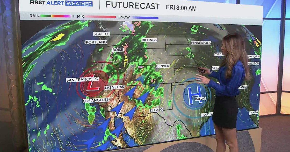 Southwest Colorado braces for heavy rain while dry and warm weather continue for Denver
CBS News Southwest Colorado braces for heavy rain while dry and warm weather continue for Denver I-25 expansion project in Northern Colorado nears completion Ugandan priest released from ICE custody after more than a…
-
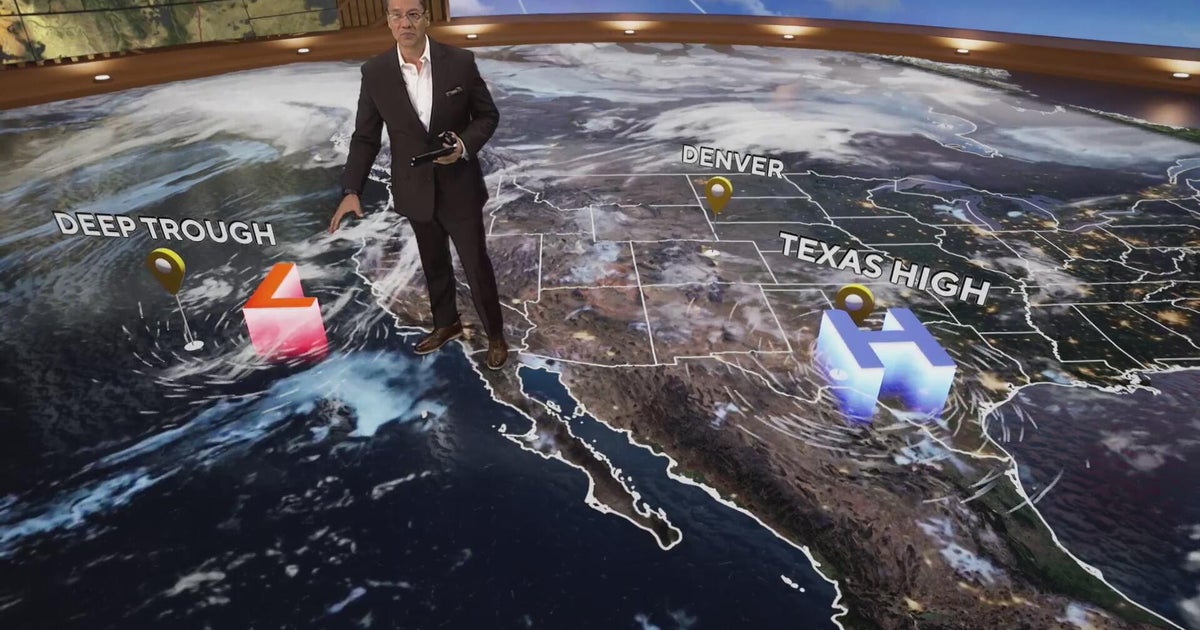 More clouds for Front Range with flooding rains heading to southwest Colorado
CBS News More clouds for Front Range with flooding rains heading to southwest Colorado MS misdiagnoses raise concerns, Colorado doctors warn of unnecessary treatment risks College bound Coloradans get ready for state…
-
 Heavy rain could bring flash flooding to New Mexico, southwest Colorado through Friday
KRQE A strong storm system will bring widespread rain to New Mexico and southwest Colorado starting Wednesday, with several inches of rain possible in some areas through Friday Heavy rainfall could lead to flash…
-
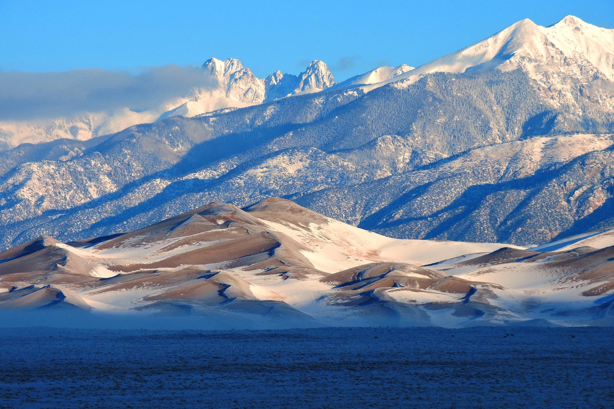 5 El Niño myths, busted. Here's what the 'Godzilla' El Niño could really mean for Colorado
Snow on Star Dune and Crestone Peaks in Great Sand Dunes National Park and Preserve. As a record-breaking El Niño continues to strengthen in the Pacific Ocean, the world is entering uncharted territory. As El Niño…
-
 A warm week is on tap for southern Colorado with mountain shower chances
KOAA News 5 Tonight's Forecast:Overnight lows continue to stay mild in the 40s for most Not much cloud cover is expected into the overnight while southern Colorado stays dry.Colorado Springs forecast: Low: 46; High…
-
 Heavy rain and flash flooding possible in New Mexico, southwest Colorado this week
KRQE A strong storm system will bring widespread rain to New Mexico and southwest Colorado Wednesday through Friday Heavy rainfall could lead to flash flooding, especially Thursday and Friday Several inches of rain are…
-
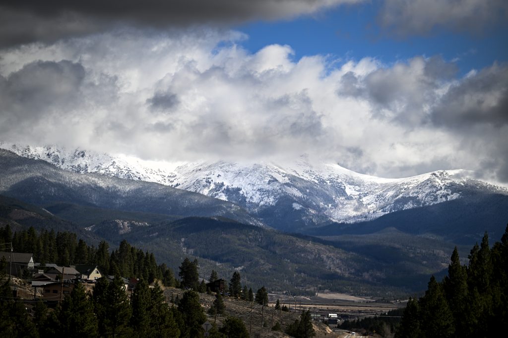 More snow on the way for Colorado’s Western Slope as temperatures drop
NewsNews | Oct 19, 2026 October is bringing in another round of stormy weather to wrap up the cooling month, translating into rain — and later, snow — for parts of western Colorado. So far, this October has been “wetter…
-
 Colorado Springs weather: Clear skies, milder temperatures this week
Monday is expected to be sunny, with light, variable winds and a high in the upper 60s, said News 5 meteorologist Lauren Brand. “These calm conditions will last over the next few days as this ridge of high pressure…
-
 A warmer than average Sunday on tap for southern Colorado
KKTV A warmer than average Sunday on tap for southern Colorado
Air quality
Air quality is satisfactory, and air pollution poses little or no risk.
Forecast
- WedGood
- ThuGood
Aspen, CO reporting area · 1 hr ago. Data from AirNow (EPA and its state, local and tribal partners); preliminary and subject to change.
Sun & moon
Almanac
MonthlyClimax, records since 1895. Normals 1991–2020. Data from NOAA's Regional Climate Centers (ACIS).
Nearby
- Edwards 51 km
- Aspen 46 km
- Avon 47 km
- Vail 44 km
- Breckenridge 34 km
- Silverthorne 46 km
- Frisco 40 km
- Snowmass Village 56 km
- Buena Vista 48 km
Forecasters' discussion
From the National Weather Service office in PUB, issued 6 hrs ago
Key Messages
- Flood Watch in effect from this afternoon through Friday afternoon for the eastern San Juan mountains and the Upper Rio Grande Valley.
- Periods of moderate to heavy rain for the Continental Divide, focusing on the San Juan Range starting this afternoon and lasting through Friday, with the heaviest amounts forecast for Thursday.
- Heavy rain on top of saturated soils and higher elevation snow already in place will bring the threat of flooding, with rock/mud slides also possible along the Continental Divide.
- Generally warm and dry across the plains through Friday, then much cooler and unsettled starting Saturday.
Short Term
Issued at 1232 AM MDT Wed Oct 21 2026
Currently...Strong Pacific low centered off the CA coast was producing southwest flow across the Desert SW and the Four Corners overnight with just a few clouds pushing into the southwestern quad of CO. Otherwise, a mostly clear night with low temps expected to dip into the 30s for the high valleys, and 40s across the plains.
Today and tonight...Pacific low will linger off the CA coast through the day today, keeping a steady, moist southwest flow in place across the Four Corners, feeding moisture into western CO. At the same time, an upper ridge over the central US, with the ridge axis positioned over eastern CO, will help keep the plains warm and dry. Models indicate that the low center will finally push onshore overnight tonight. This timing seems to be slightly slower than previous runs, meaning that shower activity holds off on pushing across the Continental Divide until midday, then gradually increases in areal coverage and intensity through the afternoon and evening. This slower progression seems to keep CAPE somewhat subdued, so even though showers and some storms are anticipated, just general thunder is expected. As for QPF amounts through the first 24 hours, plan on a few tenths along the Continental Divide, with up to around .6 of an inch across the favored SW mts. Flood Watch remains in effect starting this afternoon through Friday afternoon. Look for high temps today in the 60s across the high valleys and 70s for the plains. Increasing sw flow, coupled with moisture advection and increasing clouds, should keep overnight lows a bit more mild, with temps bottoming out in the 40s for the high valleys, and mid 40s to mid 50s for the plains.
Long Term
Issued at 1232 AM MDT Wed Oct 21 2026
Thursday...All indications point to Thursday as seeing the greatest impacts from this Pacific storm. As the low continues moving east across CA and NV through the day, an upper shortwave rotates across AZ and into the Four Corners region. This upper support, coupled with increasing proximity of the system, will mean periods of heavy rainfall across western CO and along the Continental Divide through the entire day. The focus area continues to be the southwest mts, with total additional rainfall amounts ranging from an inch up to 2.75 inches possible through the day, while the remainder of the higher terrain could see around half an inch. SPC shows the Marginal area for strong to severe thunderstorms creeping into the southwestern corner of the state, giving a nod to the abundant moisture plus upper level support, so periods of heavy convective rainfall falling on already saturated ground and some high elevation snow pack leading to excessive runoff will be possible, hence the ongoing flood Watch. Those living or traveling across the southwest mountains should stay weather aware through the rest of the week, and have multiple ways to receive weather warnings. As for the eastern plains, dry and continued warm conditions anticipated, though the upper ridge axis finally pushes east out of the area. Look for highs in the 60s for the high valleys, and 70s to lower 80s for the plains.
Friday...Friday will be an interesting day as the system starts to weaken and split into two pieces by the evening. The northern piece pushes up into MT, while the southern piece drops south and tries to gather some strength over the Desert SW. Rain totals of an additional .40 of an inch for the eastern San Juans, and up to a tenth of an inch elsewhere, are forecast, then showers and isolated thunderstorms push along the southern border and up across the far southeast corner through the late afternoon and evening. This will be the last really warm day for the eastern plains as temps once again climb into the 70s to around 80F, but there are some hints that perhaps it might end up a few degrees cooler due to increased cloud cover.
Saturday through Tuesday...While one low center lingers across the Four Corners, the northern piece cross the northern Rockies and pushes a cold front south into eastern CO Saturday morning. This front will bring significant cooling to the forecast area as well as widespread precipitation chances for both Sat and Sun as the southern piece of the low weakens and finally moves east across the state. Long range models indicate that Mon and Tue will remain unsettled and cool across the region, but confidence remains low on what that actually looks like. For now, the NBM drops temps into the 50s and 60s on Sat, 50s regionwide Sun and Mon, then some gradual warming by Tue.
Aviation
Issued at 522 AM MDT Wed Oct 21 2026
Clouds will remain VFR into Wednesday afternoon, with flow turning more southerly across the region, approaching 10-15 knots at times. Showers and thunderstorms will begin to move across the area from the west throughout the day and into tonight. Clouds will increase across the terminals, approaching MVFR cigs. Showers will move near KALS first after 01-05Z, becoming more widespread afterwards, while KCOS and KPUB see overall lower chances for precipitation, so stuck with PROB30s for now.
Forecasts, observations and alerts in the United States come from the National Weather Service (NOAA); radar from NOAA's Multi-Radar Multi-Sensor system; satellite imagery from NASA's Global Imagery Browse Services (GIBS) and NOAA's GOES satellites; the map from the U.S. Geological Survey's National Map; air quality from AirNow (EPA and its partners); hurricane information from the National Hurricane Center; climate normals and records from NOAA's Regional Climate Centers (ACIS). Forecasts outside the United States and the UV index: MET Norway (CC BY 4.0); observations outside the U.S.: airport reports via NOAA's Aviation Weather Center. Place names: GeoNames (CC BY 4.0). Data are copied on a schedule and may lag the sources; for warnings that affect your safety, follow your local National Weather Service office and emergency officials. Weather news is drawn from the 4Conservative index and reflects what the press published. Terms of use.