Install
Florence, CO Weather
Current conditions
Observed at Fremont County Airport · 40 min ago
Forecast
10-day-
Tonight
A slight chance of rain showers between 9pm and 4am. Mostly cloudy, with a low around 53. Northwest wind 0 to 5 mph. Chance of precipitation is 20%.
-
Thursday
A slight chance of showers and thunderstorms after 4pm. Partly sunny, with a high near 75. Northwest wind 5 to 10 mph. Chance of precipitation is 20%.
-
Thursday Night
A slight chance of rain showers before 11pm. Mostly cloudy, with a low around 55. West northwest wind 5 to 10 mph. Chance of precipitation is 20%.
National Weather Service forecast updated 1 hr ago.
Hourly
Hourly forecast- Now63°14%
- 9 PM61°15%
- 10 PM59°12%
- 11 PM58°
- Thu12 AM56°
- 1 AM56°10%
- 2 AM56°12%
- 3 AM54°23%
- 4 AM56°10%
- 5 AM56°10%
- 6 AM56°
- 7 AM57°
- 8 AM57°
- 9 AM61°13%
- 10 AM64°12%
- 11 AM68°
- 12 PM71°12%
- 1 PM73°12%
- 2 PM73°12%
- 3 PM75°14%
- 4 PM73°14%
- 5 PM73°16%
- 6 PM70°16%
- 7 PM67°16%
10-day forecast
Details- TonightOct 21Slight Chance Rain Showers23%53°
- ThuOct 22Partly Sunny then Slight Chance Showers And Thunderstorms17%55°75°
- FriOct 23Sunny50°77°
- SatOct 24Showers And Thunderstorms Likely86%44°65°
- SunOct 25Chance Rain Showers49%40°59°
- MonOct 26Slight Chance Rain Showers then Mostly Sunny17%38°60°
- TueOct 27Mostly Sunny38°66°
- WedOct 28Mostly Sunny68°
- ThuOct 29Cloudy42°58°
- FriOct 30Cloudy41°64°
Days after the National Weather Service's seven are MET Norway's outlook, a computer model with no forecaster's review.
Radar
Full mapWeather news in Colorado
More weather news-
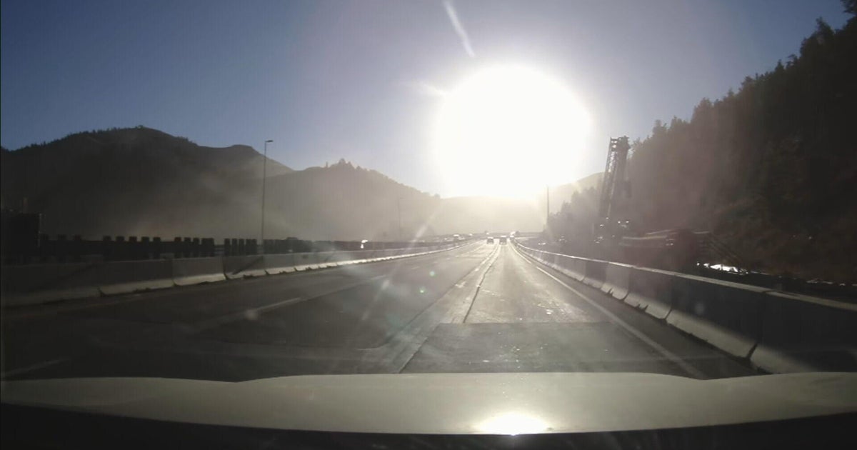 Bright sun glare prompts I-70 closures in Colorado's mountains, from sunrise to mid-morning
October 21, 2026 / 9:43 AM MDT / CBS Colorado As the days get shorter with winter approaching, drivers in Colorado traveling on I-70 will start running into a new issue: sun glare while they are driving. The Colorado…
-
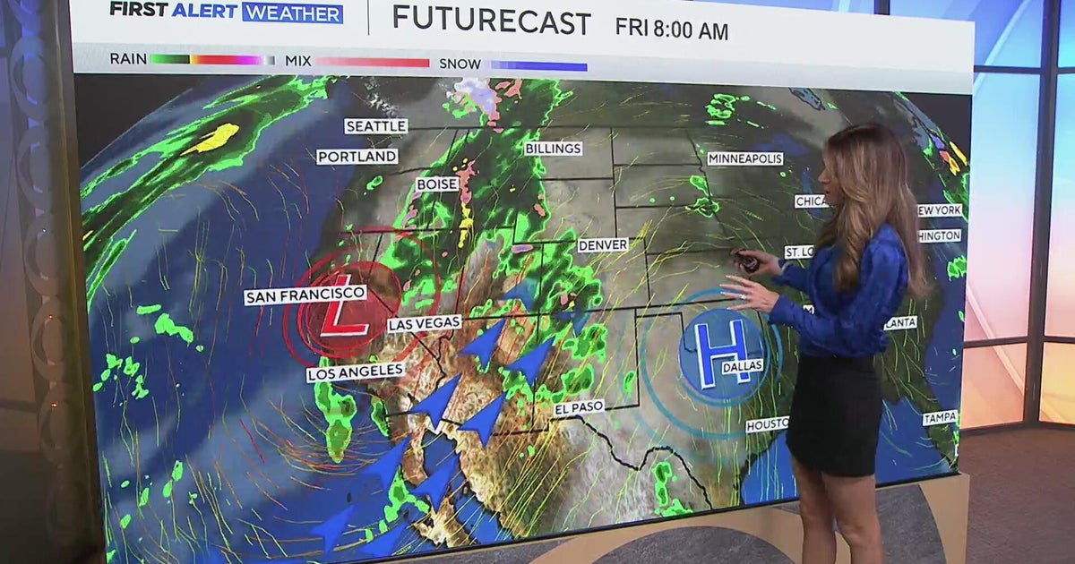 Southwest Colorado braces for heavy rain while dry and warm weather continue for Denver
CBS News Southwest Colorado braces for heavy rain while dry and warm weather continue for Denver I-25 expansion project in Northern Colorado nears completion Ugandan priest released from ICE custody after more than a…
-
 Warm temps to mean inches of rain instead of 26″ of snow in Colorado
Denver Gazette Significant rainfall is expected in Colorado over upcoming hours, likely to result in debris flows and flash flooding in the southwest region of the state. Per a report from the National Weather Service…
-
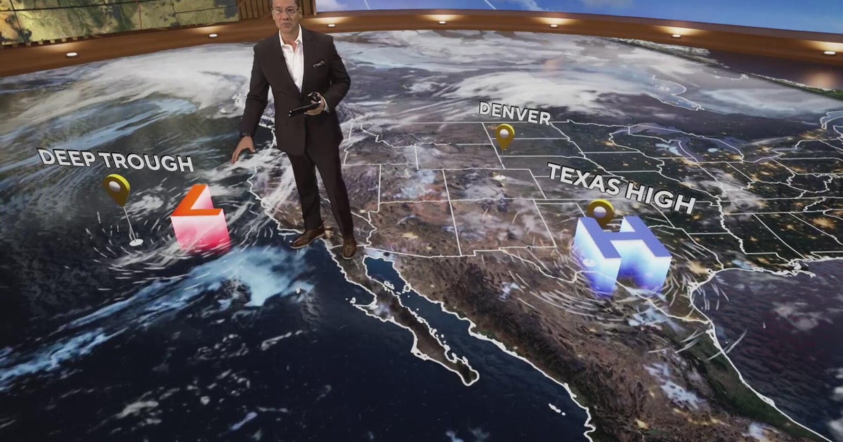 More clouds for Front Range with flooding rains heading to southwest Colorado
CBS News More clouds for Front Range with flooding rains heading to southwest Colorado MS misdiagnoses raise concerns, Colorado doctors warn of unnecessary treatment risks College bound Coloradans get ready for state…
-

-
 Heavy rain could bring flash flooding to New Mexico, southwest Colorado through Friday
KRQE A strong storm system will bring widespread rain to New Mexico and southwest Colorado starting Wednesday, with several inches of rain possible in some areas through Friday Heavy rainfall could lead to flash…
-
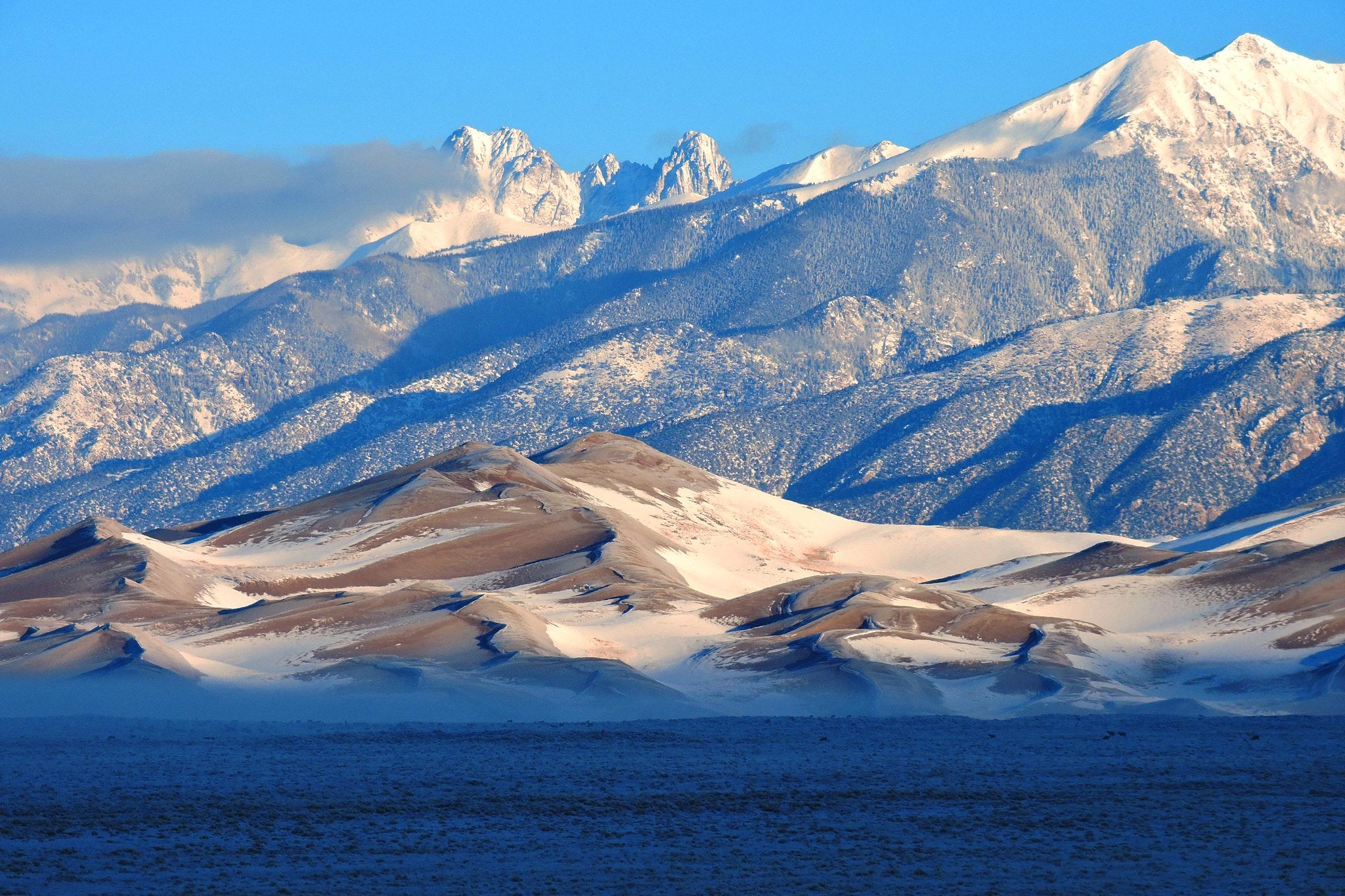 5 El Niño myths, busted. Here's what the 'Godzilla' El Niño could really mean for Colorado
Snow on Star Dune and Crestone Peaks in Great Sand Dunes National Park and Preserve. As a record-breaking El Niño continues to strengthen in the Pacific Ocean, the world is entering uncharted territory. As El Niño…
-
 A warm week is on tap for southern Colorado with mountain shower chances
KOAA News 5 Tonight's Forecast:Overnight lows continue to stay mild in the 40s for most Not much cloud cover is expected into the overnight while southern Colorado stays dry.Colorado Springs forecast: Low: 46; High…
-
 Heavy rain and flash flooding possible in New Mexico, southwest Colorado this week
KRQE A strong storm system will bring widespread rain to New Mexico and southwest Colorado Wednesday through Friday Heavy rainfall could lead to flash flooding, especially Thursday and Friday Several inches of rain are…
-
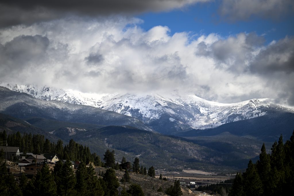 More snow on the way for Colorado’s Western Slope as temperatures drop
NewsNews | Oct 19, 2026 October is bringing in another round of stormy weather to wrap up the cooling month, translating into rain — and later, snow — for parts of western Colorado. So far, this October has been “wetter…
Air quality
Air quality is satisfactory, and air pollution poses little or no risk.
Forecast
- WedGood
- ThuGood
Pueblo, CO reporting area · 1 hr ago. Data from AirNow (EPA and its state, local and tribal partners); preliminary and subject to change.
Sun & moon
Almanac
MonthlyCanon City, records since 1893. Normals 1991–2020. Data from NOAA's Regional Climate Centers (ACIS).
Nearby
- Colorado Springs 56 km
- Pueblo 47 km
- Security-Widefield 53 km
- Pueblo West 35 km
- Fountain 49 km
- Cañon City 12 km
- Fort Carson 48 km
- Stratmoor 52 km
- Manitou Springs 55 km
- Penrose 9 km
- Lincoln Park 10 km
- Colorado City 55 km
Forecasters' discussion
From the National Weather Service office in PUB, issued 3 hrs ago
Key Messages
- Periods of moderate to heavy rain expected over the southwest mountains through Friday, with the heaviest rainfall occurring Thursday night.
- A Flood Watch is in effect until Friday afternoon for the eastern San Juan mountains and the Upper Rio Grande Valley, with stream/river flooding and rock/mud slides possible.
- Over the remainder of the Continental Divide rainfall be lighter, with amounts around 1 inch possible. Scattered showers and much lighter rainfall forecast for the eastern mountains/interior valleys and I-25 corridor.
- Generally warm and dry across the plains through Friday, then a new weather system is forecast to bring much cooler and wetter weather to all of southern Colorado from Saturday into Sunday.
Short Term
Issued at 118 PM MDT Wed Oct 21 2026
Lead short wave lifting out ahead of the West Coast upper low was firing widespread convection over nern AZ/nwrn NM at midday, with showers and storms moving into much of CO west of the Continental Divide early this afternoon. Expect precip to continue to move/expand e-ne across the Divide for the remainder of the day and overnight, with potentially some stronger storms and heavy rain moving across the eastern San Juans this evening. Rainfall amounts of over an inch are possible by early Thu morning, as snow level remains very high, generally above 12000 feet. Showers spread north along the Divide and across interior valleys overnight as well, though rainfall amounts here will be much lighter, with only a couple tenths of rainfall at most. CAMs, especially HRRR, show some light showers surviving their trek over the mountains, possibly reaching the I-25 corridor early Thu morning. Nudged up pops slightly along and west of the Interstate to account for this possibility, though expect any precip here to be light, mostly sprinkles/light rain with a couple hundreths of an inch at most.
On Thursday/Thursday night, West Coast low moves onshore with strong s-sw flow continuing across CO. Models suggest potential heavy precip over the San Juans early Thu morning, then perhaps a lull from mid-morning into the afternoon, before precip cranks up again from late afternoon into Thu night as stronger upward motion moves into the region. Daytime precip amounts in the eastern San Juans may stay generally under an inch during the day Thu, then heaviest precip of the entire system arrives Thu night, with 1-2 inches of rainfall possible by early Fri morning. Biggest watch-out period for river/stream flooding from this system will likely by from Thu evening into Fri morning, as saturated soils/high rainfall rates combine to increase flood potential. Snow levels will eventually drop Thu night as cold air aloft moves in, perhaps falling to between 10k-11k feet by Fri morning, suggesting bulk of heaviest precip will fall as rain. Much lighter precip elsewhere across the area Thu, with perhaps an upturn in precip intensity/coverage Thu night as stronger wave of upward motion moves through the region. Rainfall chances and amounts decrease rapidly over the eastern mountains, with little if any rainfall east of I-25. Despite cloud cover, high temps on Thu will remain mild, with readings into the lower 80s across the plains.
Long Term
Issued at 321 PM MDT Wed Oct 21 2026
Friday... Rain continues in the San Juans on Friday, but degrading over the course of the day as moisture leaves the area and the low pressure center over CA splits. A Flood Watch remains in effect for the eastern San Juans through 0Z Saturday and the current end time looks to be on track. The plains stay dry through Friday with high temperatures climbing up into the low to mid 80s. A sfc trough sets up over eastern CO which will aid precipitation chances as we move into Saturday.
Saturday into Sunday...The southern low will begin to deepen over AZ and help moisture return to CO. This moisture along with WAA and good synoptics will support more widespread precipitation across the region. Light to moderate rain is expected, but a locally heavy shower cannot be ruled out. WPC's Day 4 (Sat) Excessive Rain Outlook includes parts of SE CO in the SLGT risk area. Day 5 also has part of the region in a SLGT risk, but a much smaller area in far SE CO. There is the potential for flash flooding in areas which experience locally higher rainfall totals for both Saturday and Sunday. Severe thunderstorms are not expected, given limited instability, but at least isolated to widely scattered thunder remains a possibility. The northern low will help push a cold front into CO on Saturday with high temperatures dropping into the 50s and 60s in the plains. These colder temps will persist through the weekend and into Monday.
For the remainder of the period, generally dry with more seasonably type temperatures in place.
Aviation
Issued at 522 PM MDT Wed Oct 21 2026
Thickening clouds will spread over the mountains affecting all three TAF sites with persistent VFR cloudiness. KALS will see off and on rain showers with cigs/vis possibly dropping into the MVFR category, especially during the overnight hours. KPUB and KCOS could see a round of showers spread into the terminals for a couple hours around 12z Thu, but conditions should remain VFR. After a bit of a break late morning, another round of showers and thunderstorms will spread off the mountains into all 3 TAF sites in the afternoon. Cigs and vis will be predominantly VFR but could drop into the MVFR category at KALS if a stronger storm impacts the terminal. Otherwise, winds will be dominated by southerly flow which will become gustier tomorrow afternoon as the system out west approaches the area. -KT
Forecasts, observations and alerts in the United States come from the National Weather Service (NOAA); radar from NOAA's Multi-Radar Multi-Sensor system; satellite imagery from NASA's Global Imagery Browse Services (GIBS) and NOAA's GOES satellites; the map from the U.S. Geological Survey's National Map; air quality from AirNow (EPA and its partners); hurricane information from the National Hurricane Center; climate normals and records from NOAA's Regional Climate Centers (ACIS). Forecasts outside the United States and the UV index: MET Norway (CC BY 4.0); observations outside the U.S.: airport reports via NOAA's Aviation Weather Center. Place names: GeoNames (CC BY 4.0). Data are copied on a schedule and may lag the sources; for warnings that affect your safety, follow your local National Weather Service office and emergency officials. Weather news is drawn from the 4Conservative index and reflects what the press published. Terms of use.