Install
Colorado City, CO Weather
Current conditions
Observed at Pueblo Memorial Airport · 39 min ago
Forecast
10-day-
Monday Night
A slight chance of rain showers. Partly cloudy, with a low around 34. South wind around 5 mph.
-
Tuesday
Sunny, with a high near 63. South wind 0 to 5 mph.
-
Tuesday Night
Mostly clear, with a low around 38. Southwest wind around 5 mph.
National Weather Service forecast updated 4 days ago.
Hourly
Hourly forecast- Now40°21%
- Tue12 AM39°17%
- 1 AM38°17%
- 2 AM37°17%
- 3 AM37°17%
- 4 AM36°17%
- 5 AM35°17%
- 6 AM36°
- 7 AM38°
- 8 AM42°
- 9 AM46°
- 10 AM50°
- 11 AM54°
- 12 PM57°
- 1 PM60°
- 2 PM61°
- 3 PM62°
- 4 PM61°
- 5 PM60°
- 6 PM57°
- 7 PM54°
- 8 PM51°
- 9 PM48°
- 10 PM46°
10-day forecast
Details- ThuOct 22Slight Chance Rain Showers then Slight Chance Showers And Thunderstorms34%54°75°
- FriOct 23Sunny49°75°
- SatOct 24Showers And Thunderstorms94%39°61°
- SunOct 25Chance Rain Showers57%37°56°
- TodayOct 26Chance Rain Showers26%34°56°
- TueOct 27Sunny38°63°
- WedOct 28Mostly Sunny38°64°
- ThuOct 29Mostly sunny36°53°
- FriOct 30Cloudy37°62°
- SatOct 31Partly cloudy44°64°
Days after the National Weather Service's seven are MET Norway's outlook, a computer model with no forecaster's review.
Radar
Full mapWeather news near Colorado City
More weather news- Vance intensifies rapidly and could become a major Category 3 hurricane off Mexico’s Pacific Coast
Friday, Oct 23, 2026 9:08 PM MT This GOES-19 GeoColor satellite image provided by the National Oceanic and Atmospheric Administration (NOAA) and taken on Friday, Oct. 23, 2026, shows Hurricane Vance in the Pacific…
- Special Weather Statement issued October 22 at 4:48PM MDT by NWS Pueblo CO
Special Weather Statement: Colorado Springs Vicinity/Southern El Paso County/Rampart Range Below 7400 Ft, Pueblo Vicinity/Pueblo County Below 6300 Feet, Walsenburg Vicinity/Upper Huerfano River Basin Below 7500 Ft and 2…
-
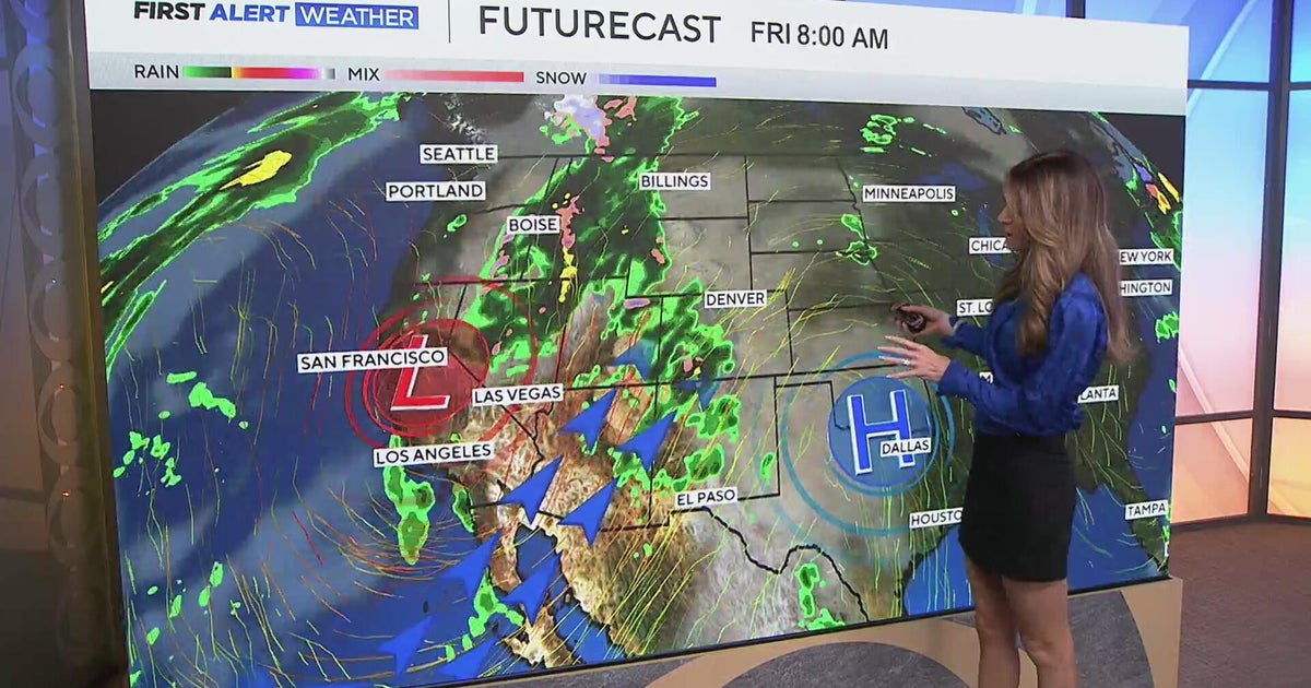 Southwest Colorado braces for heavy rain while dry and warm weather continue for Denver
CBS News Southwest Colorado braces for heavy rain while dry and warm weather continue for Denver I-25 expansion project in Northern Colorado nears completion Ugandan priest released from ICE custody after more than a…
-
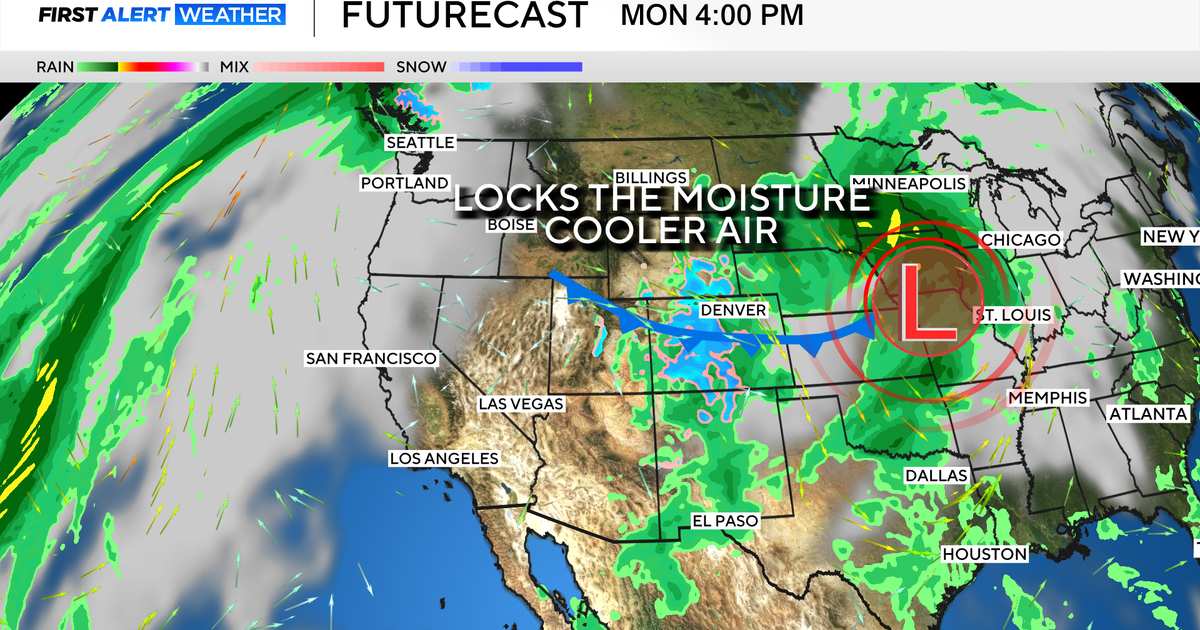 Colorado's dry week could end with a big storm bringing heavy rain and mountain snow
October 26, 2026 / 12:52 PM MDT / CBS Colorado Another storm is looming in Colorado's extended forecast, and we've seen this play out before. The script remains familiar: A surge of Pacific moisture moves into the…
-
 Colorado Springs weather: Mild and sunny for most of the week
After a cool, overcast Sunday and overnight rainfall, Colorado Springs residents can expect warmer, milder conditions this week, according to Gazette news partner KOAA. “We had some rain move in overnight, but that…
-
 Sunday night showers with a nicer week ahead for southern Colorado
A few more showers are possible tonight with cooler temperatures. Tomorrow brings in changes with a quieter pattern. SUNDAY NIGHT: Showers and a few storms are likely around the Pikes Peak Region and further south until…
-
 Tracking warming & drying conditions
TODAY: Any lingering showers should dissipate by late morning. Temperatures will warm from the 30s and 40s this morning to the 60s in Colorado Springs, TODAY: Any lingering showers should dissipate by late morning…
-
 Clouds clear heading into the work week
Sara studied Journalism and Atmospheric and Oceanic Sciences at the University of Colorado, Boulder. She is currently a graduate student in Meteorology at Mississippi State, where she has worked on research studying how…
-
 Tracking dense morning fog, more showers & storms
TODAY: We're tracking a cold and foggy start. Expect temps to warm from the 30s and low 40s to the 50s this afternoon. It's a breezy and cool day with TODAY: We're tracking a cold and foggy start. Expect temps to warm…
-
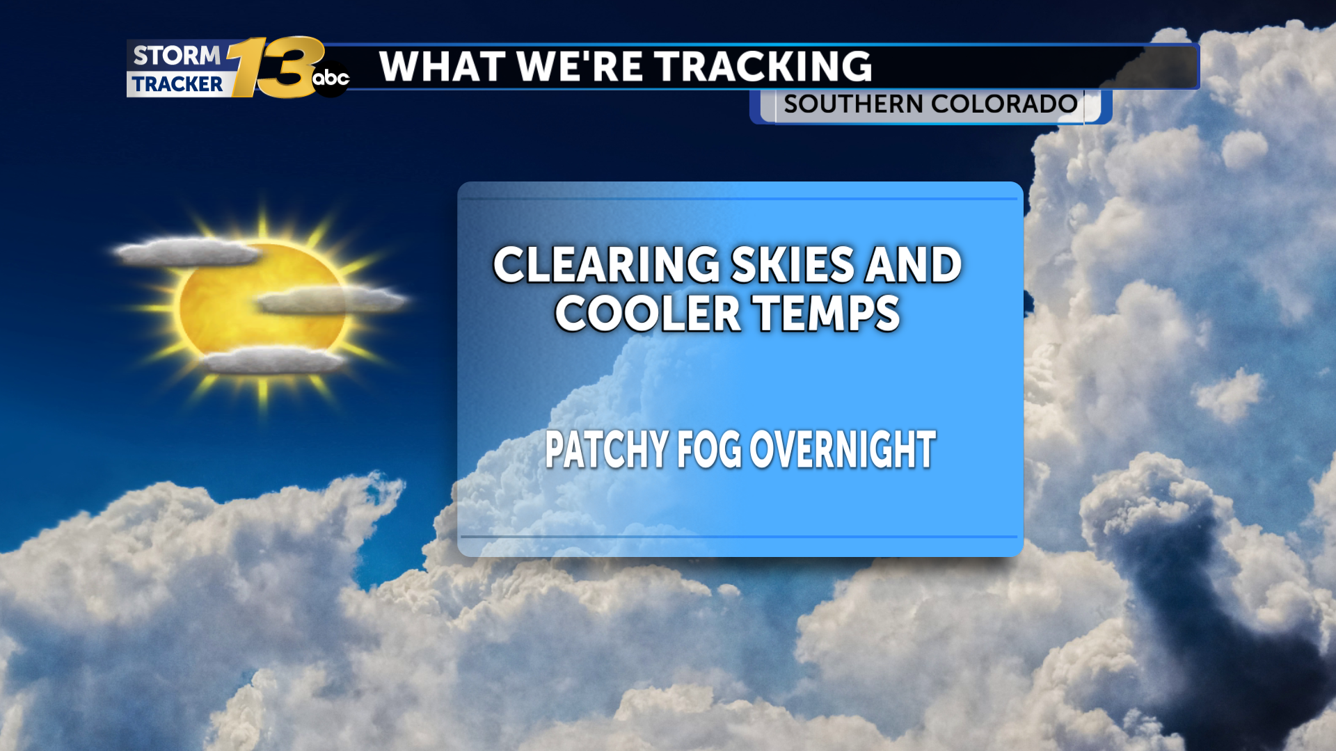 Patchy fog possible as skies clear out
Our upper-level storm system, responsible for the recent active weather, is departing our area. Temperatures are cooler in its wake, and skies are Any fog will burn off by later in the morning hours, and sunshine should…
Air quality
Air quality is satisfactory, and air pollution poses little or no risk.
Forecast
- MonGood
- TueGood
Pueblo, CO reporting area · 1 hr ago. Data from AirNow (EPA and its state, local and tribal partners); preliminary and subject to change.
Sun & moon
Almanac
MonthlyWillis Creek Colorado, records since 1989. Normals 1991–2020. Data from NOAA's Regional Climate Centers (ACIS).
Nearby
- Pueblo 40 km
- Pueblo West 46 km
- Florence 55 km
- Penrose 56 km
- Walsenburg 36 km
Forecasters' discussion
From the National Weather Service office in PUB, issued 4 hrs ago
Key Messages
- Warm and dry through Thursday, then a pattern shift starting Friday.
Update
Issued at 625 PM MDT Mon Oct 26 2026
Just a quick update to adjust pops across Baca County and fog potential overnight for the San Luis Valley, lower Arkansas River Valley and up near the Palmer Divide. A few showers will remain possible through midnight across Baca County as an upper system pulls away from the area. Fog is forecast to develop overnight into Tuesday morning, with visibility reducing to near 1 mile at times.
Short Term
Issued at 107 PM MDT Mon Oct 26 2026
Currently...Remnants of the upper low pressure system were gradually sliding northeast out of the area, providing for mostly sunny skies to develop over the western portions of the county warning area. However, a good amount of cloudiness remained across the southeast corner of the state. Temps as of 1 PM have warmed into the 40s to around 50F for the high valleys, and 50s to lower 60s for the plains.
Tonight through Tuesday...As the upper disturbance leaves the region, and another shortwave crosses the northern Rockies, somewhat light west to southwest flow aloft will develop across the state and the Four Corners region. A few lingering showers are expected across Baca County this evening, otherwise dry conditions are anticipated. The disturbance passing by to the north will tighten the pressure gradient enough for some afternoon gustiness tomorrow across the higher terrain and foothills, but for the most part plan on a mild and pleasant day with warmer temperatures. Mostly clear skies tonight will lead to efficient radiational cooling, with the chance for another shot at patchy fog during the overnight and early morning hours, especially across the San Luis Valley and the Arkansas River Valley.
Look for overnight lows in the 20s to around 30F for the high valleys, and 30s to around 40F for the plains. High temps Tuesday will climb into the mid 50s to lower 60s for the high valleys, and 60s to around 70F for the plains.
Ongoing high flows across the Rio Grande and Conejos Rivers will continue for at least another few days. Conditions should be closely monitored for ongoing impacts. In addition, high flow is currently moving down the Purgatoire River from recent rainfall, and is expected to produce some minor flooding near Las Animas late tonight which will last through Tuesday.
Long Term
Issued at 107 PM MDT Mon Oct 26 2026
Wednesday and Thursday...West-southwest flow continues across the region through mid week, providing for dry conditions and warm temps, with highs on Wednesday 5-10 degrees above normal. Another fast-moving shortwave crossing the Rockies Wed will push a weak cold front south into eastern CO early Thu, dropping afternoon highs Thu by about 5 degrees.
Friday through Sunday...Broad Pacific trough, with a low center just off the Pacific NW coast, will start to strengthen and drop south along the coastline Thu, which will by Fri produce deep southwest flow across the Desert Sw and the Four Corners. This will once again draw moisture up into the western half of the state, leading to cooler and more active weather into the weekend, as well as accumulating mt snow starting Fri night. There are some variations in the long range solutions between models, so this is a little early getting into specifics. Moore
Forecasts, observations and alerts in the United States come from the National Weather Service (NOAA); radar from NOAA's Multi-Radar Multi-Sensor system; satellite imagery from NASA's Global Imagery Browse Services (GIBS) and NOAA's GOES satellites; the map from the U.S. Geological Survey's National Map; air quality from AirNow (EPA and its partners); hurricane information from the National Hurricane Center; climate normals and records from NOAA's Regional Climate Centers (ACIS). Forecasts outside the United States and the UV index: MET Norway (CC BY 4.0); observations outside the U.S.: airport reports via NOAA's Aviation Weather Center. Place names: GeoNames (CC BY 4.0). Data are copied on a schedule and may lag the sources; for warnings that affect your safety, follow your local National Weather Service office and emergency officials. Weather news is drawn from the 4Conservative index and reflects what the press published. Terms of use. How to use Weather