Install
Farm Loop, AK Weather
Current conditions
Observed at Palmer, Palmer Municipal Airport · 1 hr ago
Forecast
10-day-
Wednesday
A chance of snow and patchy freezing fog before 7am, then a chance of snow and patchy freezing fog between 7am and 1pm. Mostly cloudy, with a high near 34. Southwest wind 0 to 5 mph. Chance of precipitation is 30%.
-
Wednesday Night
Mostly cloudy, with a low around 18. North wind around 5 mph.
-
Thursday
Sunny, with a high near 34. Northeast wind 0 to 5 mph.
National Weather Service forecast updated 1 day ago.
Hourly
Hourly forecast- Now30°25%
- 1 PM32°
- 2 PM33°
- 3 PM34°
- 4 PM34°12%
- 5 PM34°12%
- 6 PM32°12%
- 7 PM31°10%
- 8 PM30°10%
- 9 PM28°10%
- 10 PM27°10%
- 11 PM26°10%
- Thu12 AM25°10%
- 1 AM24°
- 2 AM23°
- 3 AM22°
- 4 AM21°
- 5 AM20°
- 6 AM20°
- 7 AM19°
- 8 AM18°
- 9 AM18°
- 10 AM20°
- 11 AM23°
Daily forecast
Details- TueOct 20Light Snow3.8 in snow92%27°37°
- TodayOct 21Chance Light Snow25%18°34°
- ThuOct 22Sunny22°34°
- FriOct 23Mostly Sunny23%29°37°
- SatOct 24Slight Chance Rain And Snow41%32°41°
- SunOct 25Chance Rain And Snow<0.1 in snow41%32°42°
- MonOct 26Slight Chance Rain And Snow24%31°42°
- TueOct 27Mostly sunny31°37°
- WedOct 28Cloudy36°42°
Days after the National Weather Service's seven are MET Norway's outlook, a computer model with no forecaster's review.
Radar
Full mapWeather news in Alaska
More weather news-
 Don’t hibernate: How to get outside in Alaska safely after snowfall
ANCHORAGE, Alaska (KTUU) - Mid-October marks a seasonal shift in Anchorage, with snow appearing on nearby mountains and daylight hours shrinking. A local hiking guide and a cardiologist are offering guidance on how to…
-
 First Alert: Significant winter weather headed for Alaska Tuesday
Alaska's News Source First Alert: Significant winter weather headed for Alaska Tuesday Heavy rain tapers off for Southeast, with scattered showers into the weekend Storm impacts begin to wind down in Southeast, but…
-
 Numerous winter weather alerts as heavy snow moves through Southcentral and Interior Alaska
Winter weather alerts have been issued across Southcentral through midweek, with the greatest snowfall potential expected in the Northern Susitna Valley, Copper River Basin, Thompson Pass and the Anchorage and Eagle…
-
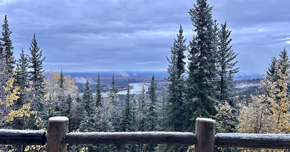 Winter storm could bring significant snow to Interior Alaska
The first snow of 2025 arrived on Sept. 23. Fairbanks and the eastern Interior could see several inches of snow Tuesday morning through Wednesday as the season’s first major winter weather system pushes into the area. A…
-
 Alaska Winter Storm Warning: Fairbanks Region Braces for Up to 30 Inches of Snow and Winds Reaching 65 MPH as NWS Expands Weather Alerts – Check Latest Forecast
Winter Storm Watch: Winter weather is set to make travel difficult across parts of Alaska this week, with the National Weather Service (NWS) warning of heavy snowfall, powerful winds and reduced visibility. The eastern…
-
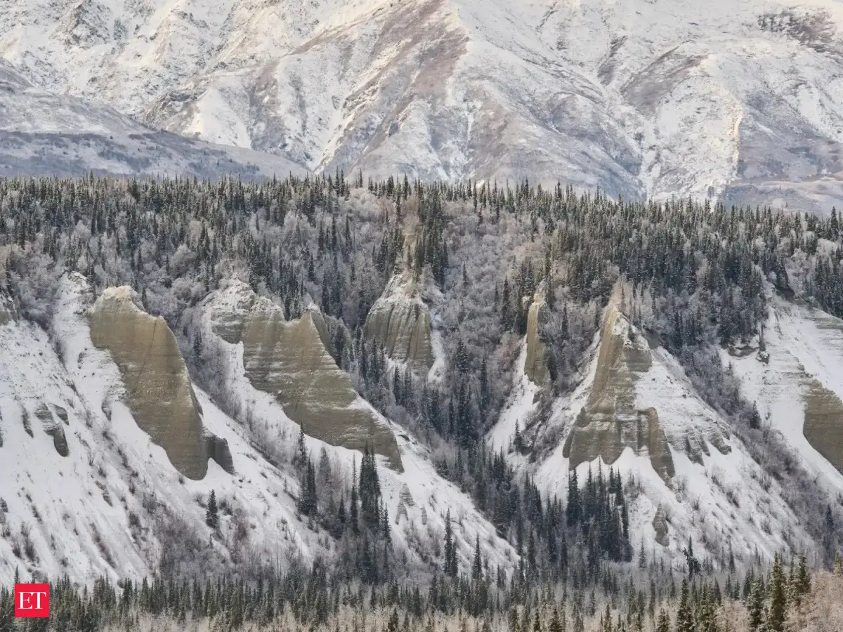 Alaska winter storm: Warning issued for heavy snow, several areas to get up to 30 inches of snow, 65 mph winds this week
A Winter Storm Warning has been issued for Fairbanks, Alaska, by the National Weather Service, predicting heavy snowfall and fierce winds. The eastern Alaska Range may witness up to 24 inches of snow coupled with gusts…
-
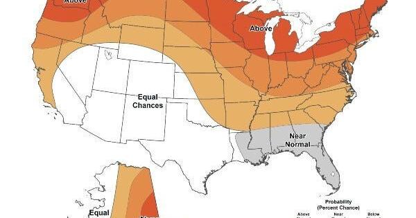 Warmer-than-average temperatures are favored for northern California, the Pacific Northwest, Midwest, Mississippi Valley, much of the East, Alaska and for Puerto Rico / U.S. Virgin Islands.
The Lufkin Daily News Warmer-than-average temperatures are favored for northern California, the Pacific Northwest, Midwest, Mississippi Valley, much of the East, Alaska and for Puerto Rico / U.S. Virgin Islands. - Woman…
Sun & moon
Almanac
MonthlyPalmer Airport, records since 1997. Normals 1991–2020. Data from NOAA's Regional Climate Centers (ACIS).
Nearby
- Eagle River 42 km
- Knik-Fairview 28 km
- Wasilla 17 km
- Lakes 9 km
- Tanaina 15 km
- Meadow Lakes 24 km
- Palmer 5 km
- Elmendorf Air Force Base 50 km
- Gateway 9 km
- Fishhook 13 km
- Big Lake 45 km
- Butte 12 km
Forecasts, observations and alerts in the United States come from the National Weather Service (NOAA); radar from NOAA's Multi-Radar Multi-Sensor system; satellite imagery from NASA's Global Imagery Browse Services (GIBS) and NOAA's GOES satellites; the map from the U.S. Geological Survey's National Map; air quality from AirNow (EPA and its partners); hurricane information from the National Hurricane Center; climate normals and records from NOAA's Regional Climate Centers (ACIS). Forecasts outside the United States and the UV index: MET Norway (CC BY 4.0); observations outside the U.S.: airport reports via NOAA's Aviation Weather Center. Place names: GeoNames (CC BY 4.0). Data are copied on a schedule and may lag the sources; for warnings that affect your safety, follow your local National Weather Service office and emergency officials. Weather news is drawn from the 4Conservative index and reflects what the press published. Terms of use.