Install
North Pole, AK 99705 Weather
Current conditions
Observed at Fort Wainwright AAF · 1 hr ago
Forecast
10-day-
Today
A chance of snow before 1pm. Mostly cloudy, with a high near 26. West wind around 5 mph. Chance of precipitation is 30%.
-
Tonight
Mostly cloudy, with a low around 18. Southwest wind 0 to 5 mph.
-
Thursday
Mostly cloudy, with a high near 26. South wind around 0 mph.
National Weather Service forecast updated 1 hr ago.
Hourly
Hourly forecast- Now22°33%
- 12 PM22°33%
- 1 PM23°
- 2 PM25°
- 3 PM25°
- 4 PM26°
- 5 PM26°
- 6 PM26°
- 7 PM24°
- 8 PM23°
- 9 PM23°
- 10 PM23°
- 11 PM23°
- Thu12 AM23°
- 1 AM23°
- 2 AM23°
- 3 AM22°
- 4 AM21°
- 5 AM20°
- 6 AM19°
- 7 AM20°
- 8 AM18°
- 9 AM18°
- 10 AM19°
Daily forecast
Details- TodayOct 21Chance Light Snow0.2 in snow33%18°26°
- ThuOct 22Mostly Cloudy13°26°
- FriOct 23Partly Sunny22°28°
- SatOct 24Mostly Cloudy26°36°
- SunOct 25Slight Chance Light Snow24%27°36°
- MonOct 26Chance Light Snow0.2 in snow56%29°37°
- TueOct 27Chance Rain And Snow0.2 in snow54%27°37°
- WedOct 28Light sleet0.14 in33°37°
- ThuOct 29Cloudy0.07 in27°36°
Days after the National Weather Service's seven are MET Norway's outlook, a computer model with no forecaster's review.
Radar
Full mapWeather news near North Pole
More weather news-
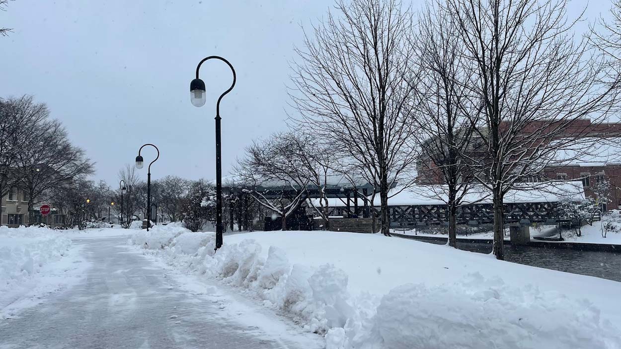 Historic El Niño could bring a warmer Midwest winter
A forecasted historic El Niño could lead to a warmer-than-average winter season for the Midwest, according to experts at the National Weather Service. The NWS released its Winter 2026-27 Outlook on Oct. 15 in…
-
 Alaska Winter Storm Warning: Fairbanks Region Braces for Up to 30 Inches of Snow and Winds Reaching 65 MPH as NWS Expands Weather Alerts – Check Latest Forecast
Winter Storm Watch: Winter weather is set to make travel difficult across parts of Alaska this week, with the National Weather Service (NWS) warning of heavy snowfall, powerful winds and reduced visibility. The eastern…
-
 UK Winter Forecast 2026 27 What to Expect This Season
Dhaka, Saturday 17 October 2026 If you are hoping for a guaranteed white Christmas, the science might disappoint you. Long-range weather modelling simply does not work like a crystal ball. Meteorologists cannot tell you…
-
 Met Office Explains UK Snow Outlook as El Niño Strengthens
News and Information Media for the Public In an October 15 report, residents in Halton were told they would need to wait for greater certainty about the prospect of a white winter. A subsequent report published on…
-
 Met Office issues major UK snow update as El Nino 'strengthening rapidly'
Members of the public are wondering if a white Christmas is on the way(Image: Derby Telegraph) The Met Office has provided a major UK snow update as El Nino continues ‘strengthening rapidly’ ahead of reaching its peak…
-
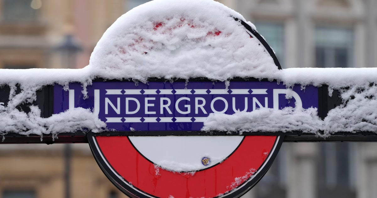 'Super' El Niño: Why Could A Warmer Pacific Mean A Colder UK Winter?
If you’re wondering how hotter sea surface temperatures could mean an ice-cold winter, here’s a quick explainer. An El Niño is now “firmly established” and set to intensify even further in the run up to December. The…
-
 Don’t hibernate: How to get outside in Alaska safely after snowfall
ANCHORAGE, Alaska (KTUU) - Mid-October marks a seasonal shift in Anchorage, with snow appearing on nearby mountains and daylight hours shrinking. A local hiking guide and a cardiologist are offering guidance on how to…
-
 First Alert: Significant winter weather headed for Alaska Tuesday
Alaska's News Source First Alert: Significant winter weather headed for Alaska Tuesday Heavy rain tapers off for Southeast, with scattered showers into the weekend Storm impacts begin to wind down in Southeast, but…
-
 Numerous winter weather alerts as heavy snow moves through Southcentral and Interior Alaska
Winter weather alerts have been issued across Southcentral through midweek, with the greatest snowfall potential expected in the Northern Susitna Valley, Copper River Basin, Thompson Pass and the Anchorage and Eagle…
-
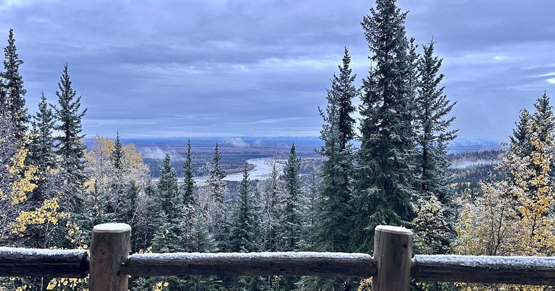 Winter storm could bring significant snow to Interior Alaska
The first snow of 2025 arrived on Sept. 23. Fairbanks and the eastern Interior could see several inches of snow Tuesday morning through Wednesday as the season’s first major winter weather system pushes into the area. A…
Sun & moon
Almanac
MonthlyEielson Field, records since 1949. Normals 1991–2020. Data from NOAA's Regional Climate Centers (ACIS).
Nearby
- Fairbanks 18 km
- Badger 8 km
- College 22 km
- Farmers Loop 21 km
- Eielson Air Force Base 20 km
- Ester 31 km
Forecasters' discussion
From the National Weather Service office in AFG, issued 7 hrs ago
Key Messages
Central and Eastern Interior... - Snow continues at varying intensities through Wednesday morning and gradually tapers off by the afternoon. * See winter products in your area at weather.gov/afg
- Temperatures drop considerably Wednesday night and especially Thursday night, with morning wake up temperatures in the single digits/teens Friday morning. Some of the coldest valley locations may be as cold as -10F if and when skies clear.
-Temperatures rebound through the weekend, with highs reaching above freezing by Sunday for most areas
- Quieter weather is expected Thursday and Friday as high pressure builds in overhead. Some rain/snow showers are likely late in the weekend
West Coast and Western Interior... - Scattered rain and snow showers, mainly along the coast through Thursday. Winds out of the southwest and gust 20-25 mph through Thursday night.
- A strong front arrives on the West Coast Friday morning. There will be heavy rain/snow, wind gusts peaking around 50-70 mph, localized blizzard conditions and coastal flooding. * Heaviest snow will be mainly expected in the terrain of the Seward Peninsula and Nulato Hills, but 3 to 6 inches is possible along the Seward Peninsula coast on Friday before changing over to rain. * This will be the start of a series of lows moving into the Eastern Bering through next week. * The next Bering Sea Low arrives on Sunday.
Synopsis
A winter storm for the Eastern Interior will wind down on Wednesday. In its wake, colder temperatures move in across the state ahead of a new storm system moving into the West beginning on Friday. This system will likely bring with it coastal impacts, along with wind and for areas at elevation- accumulating snow. This storm will persist through the weekend, with other coastal storms looking likely to sweep in for next week.
Short Term
A system winding down on Wednesday will be followed by a brief break in active weather before a strong Bering Sea storm arrives for the end of the week. Satellite and radar imagery as of early Wednesday morning show a decaying deformation band stretched out from SW to NE across the Eastern Interior, ranging from the AK range up into the Yukon and the Northwest Territories. This band has dropped anywhere from ~5 inches of snow in east Fairbanks to potentially upwards of a foot or more of snow out for areas further east. The heaviest snowfall has since departed the area, and expect lingering snow showers to gradually disperse through the daytime hours as a remnant low in the Gulf of AK decays.
Over the next few days, the story shifts to cooler weather. A mid-level trough dives in, bringing cold air advection racing down along its western flank. 850mb temperatures as low as -14 to -15C arrive over the central interior by Thursday night even as the trough's western flank begins to erode in the face of a ridge building along the West Coast. This will allow low temperatures south of the Brooks Range to dip into the single digits or low teens for much of the area, with the potential for subzero weather for some valleys.
The colder weather will not be able to entrench itself as warm air advection surging ahead of a new system moving in from the Western Bering will send high temperatures surging back above freezing for most areas not at elevation through the weekend, even the North Slope. Unfortunately, this system will have greater impacts than just a pleasant warm-up for northern Alaska. As the low enters the Bering on Thursday, anticipate it to reach as strong as 950-960 mb in the Western Bering, before it moves NE through the next few days towards the Gulf of Anadyr. A strong front sent racing out ahead of it will push the ridge which had started building over the West Coast off to the east. As the ridge is displaced, the front itself will arrive bringing with it a round of high winds to the outer coast along with significant accumulating snow for topographic areas (mountains) beginning on Friday. Sustained South/Southwest winds along and behind the front look set to bring high surf and coastal flooding to parts of the outer coast as well. Some areas could potentially see sea levels rising up to 4-8ft above mean high tide. For additional details, see the coastal hazards section of the discussion. This low will continue moving NE through the weekend, before being swiftly replaced by another low racing out of the Western Bering on Sunday, and bringing with it another round of potential coastal impacts, winds, and snow. For more information on these systems, see the long term discussion.
Long Term
Active weather continues into the long term with a Bering Sea low in the Gulf of Anadyr pushing northeast towards the Chukchi Sea. Out ahead of this system is a fairly potent warm front, advecting large amounts of warm air and moisture into Western Alaska. As a result, we expect to see strong south/southwest winds, heavy precipitation, and high water levels impact the West Coast from Hooper Bay north towards Wainwright. Due to southwest steering flow aloft, upslope effects will impact higher elevations across Western Alaska with the Western Brooks Range, Southern Seward Peninsula, and Nulato Hills seeing high snow accumulations. Exact snowfall totals are still uncertain for now, but model guidance and EFI values continue to point towards higher end amounts in excess of 10+ inches. At the surface, temperatures will rise into the mid 30s/low 40s, keeping most of the precipitation as rain for lower elevations and areas near sea level along the coast. As the warm front continues to progress inland through the weekend, rain and snow showers will impact portions of the Western and Central Interior, but accumulations look to be much lighter than what is expected along the coast. The strengthening pressure gradient will also likely bring gusty winds to the AK Range by late Friday and through Saturday, with some respectable (although lower in strength) wind gusts also likely for the Brooks Range during the same time frame.
As we look towards Sunday into Monday, yet another low makes its way into the Bering Sea following behind the parent system. Although this low doesn't have as much organization or dynamic support in the mid-levels as the previous system, it still looks likely to bring an additional push of rain/snow and strong winds to the West Coast. Coastal impacts remain unknown this far out, but given the persistence of southwest flow near the surface, another round of high water levels and beach erosion cannot be ruled out. As for the storm's track, models are in good agreement with it moving north/northeast through the Bering Strait by Monday morning/afternoon. This set up allows for ridging to reestablish itself in the Gulf and keep the overall flow aloft mostly southwesterly. The ridge in the Gulf will build as far north as the Central/Eastern Interior, with the SW flow bringing warmer maritime air in and sending temperatures racing back above seasonable norms in the low/mid 30s. This pattern will also allow for a continuation of scattered rain/snow showers across the state, which may present some potentially slick and difficult travel conditions through the end of the month.
The biggest takeaway from all this is that active weather will continue through the foreseeable future, with ensembles increasingly highlighting a potential third low pressure system moving into the Bering Sea mid/late next week. Should this pan out, flooding concerns become more likely again for communities along the West Coast, as well as another chance for rain/snow showers within the Interior.
Coastal Hazard Potential...A series of coastal storms are expected beginning on Friday. Water will rise several feet above the normal high tide line for many locations, resulting in moderate coastal flooding and high surf/erosion. The areas of most concern are currently the Yukon Delta and Norton Sound where these spots are estimated to get the highest rises. Other locations up and down the coast will see impacts from this, but they may end up being geared towards high surf rather than coastal flooding. After this first storm, there will be another one arriving right on its heels Sunday night. This one looks like it may be more impactful with more significant flooding possible due to strong southwesterly flow. Another system may arrive after this one towards the middle of next week. Overall, it will be an impactful several days of weather coming up beginning on Friday and we will be keeping a very close eye on this pattern as it progresses. For the latest updates, please see weather.gov/afg.
Forecasts, observations and alerts in the United States come from the National Weather Service (NOAA); radar from NOAA's Multi-Radar Multi-Sensor system; satellite imagery from NASA's Global Imagery Browse Services (GIBS) and NOAA's GOES satellites; the map from the U.S. Geological Survey's National Map; air quality from AirNow (EPA and its partners); hurricane information from the National Hurricane Center; climate normals and records from NOAA's Regional Climate Centers (ACIS). Forecasts outside the United States and the UV index: MET Norway (CC BY 4.0); observations outside the U.S.: airport reports via NOAA's Aviation Weather Center. Place names: GeoNames (CC BY 4.0). Data are copied on a schedule and may lag the sources; for warnings that affect your safety, follow your local National Weather Service office and emergency officials. Weather news is drawn from the 4Conservative index and reflects what the press published. Terms of use.