Install
Farmers Loop, AK Weather
Current conditions
Observed at Fort Wainwright AAF · 1 hr ago
Forecast
10-day-
Overnight
A chance of snow. Cloudy, with a low around 26. North wind around 0 mph. Chance of precipitation is 40%. New snow accumulation of less than half an inch possible.
-
Tuesday
Snow likely. Cloudy, with a high near 32. North wind 0 to 5 mph. Chance of precipitation is 70%. New snow accumulation of 2 to 4 inches possible.
-
Tuesday Night
Snow likely. Cloudy, with a low around 23. Northwest wind around 5 mph. Chance of precipitation is 70%. New snow accumulation of 2 to 4 inches possible.
National Weather Service forecast updated 1 hr ago.
Hourly
Hourly forecast- Now27°44%
- 6 AM29°44%
- 7 AM30°46%
- 8 AM32°46%
- 9 AM31°46%
- 10 AM30°54%
- 11 AM30°54%
- 12 PM28°54%
- 1 PM29°70%
- 2 PM29°70%
- 3 PM28°70%
- 4 PM29°71%
- 5 PM29°71%
- 6 PM28°71%
- 7 PM28°66%
- 8 PM28°66%
- 9 PM28°66%
- 10 PM28°66%
- 11 PM29°66%
- Wed12 AM28°66%
- 1 AM28°60%
- 2 AM27°60%
- 3 AM26°60%
- 4 AM26°44%
10-day forecast
Details- TonightOct 19Chance Light Snow44%26°
- TodayOct 20Snow Likely3.6 in snow71%23°32°
- WedOct 21Chance Light Snow1.7 in snow44%15°26°
- ThuOct 22Slight Chance Light Snow then Mostly Cloudy16%12°23°
- FriOct 23Mostly Sunny23%22°27°
- SatOct 24Slight Chance Light Snow30%26°35°
- SunOct 25Chance Light Snow32%26°34°
- MonOct 26Chance Light Snow41%34°
- TueOct 27Partly cloudy19°35°
- WedOct 28Cloudy19°34°
Days after the National Weather Service's seven are MET Norway's outlook, a computer model with no forecaster's review.
Radar
Full mapWeather news in Alaska
More weather news-
 First Alert: Significant winter weather headed for Alaska Tuesday
Alaska's News Source First Alert: Significant winter weather headed for Alaska Tuesday Heavy rain tapers off for Southeast, with scattered showers into the weekend Storm impacts begin to wind down in Southeast, but…
-
 Numerous winter weather alerts as heavy snow moves through Southcentral and Interior Alaska
Winter weather alerts have been issued across Southcentral through midweek, with the greatest snowfall potential expected in the Northern Susitna Valley, Copper River Basin, Thompson Pass and the Anchorage and Eagle…
-
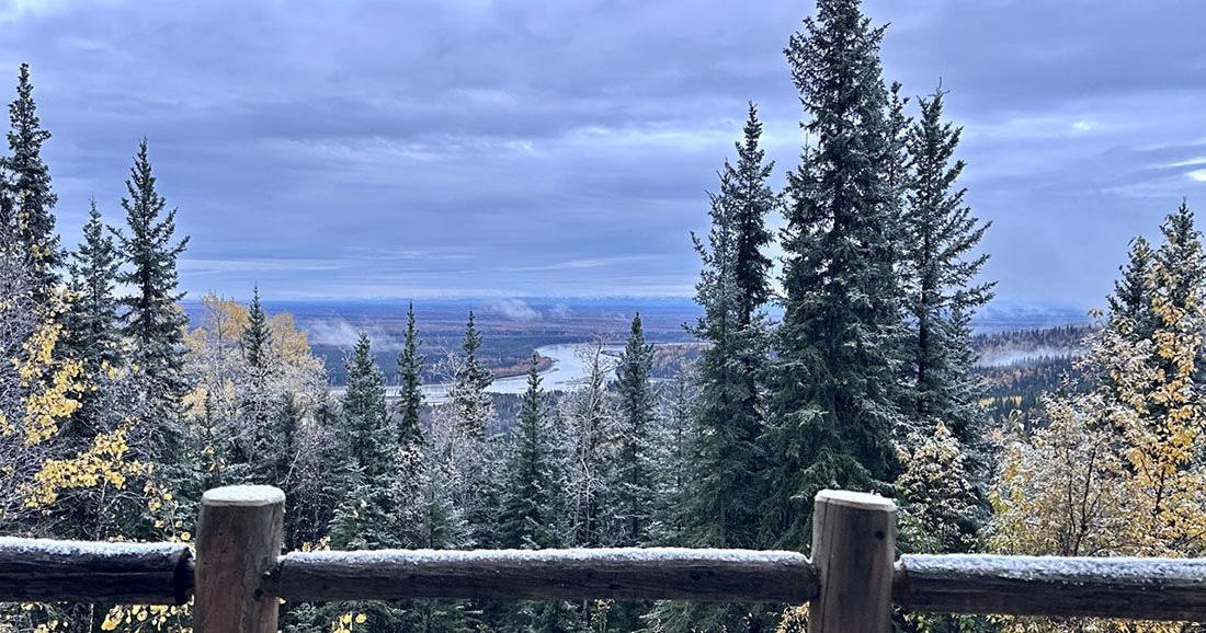 Winter storm could bring significant snow to Interior Alaska
The first snow of 2025 arrived on Sept. 23. Fairbanks and the eastern Interior could see several inches of snow Tuesday morning through Wednesday as the season’s first major winter weather system pushes into the area. A…
-
 Alaska Winter Storm Warning: Fairbanks Region Braces for Up to 30 Inches of Snow and Winds Reaching 65 MPH as NWS Expands Weather Alerts – Check Latest Forecast
Winter Storm Watch: Winter weather is set to make travel difficult across parts of Alaska this week, with the National Weather Service (NWS) warning of heavy snowfall, powerful winds and reduced visibility. The eastern…
-
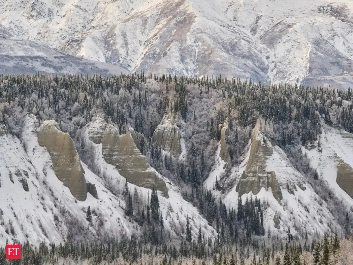 Alaska winter storm: Warning issued for heavy snow, several areas to get up to 30 inches of snow, 65 mph winds this week
A Winter Storm Warning has been issued for Fairbanks, Alaska, by the National Weather Service, predicting heavy snowfall and fierce winds. The eastern Alaska Range may witness up to 24 inches of snow coupled with gusts…
-
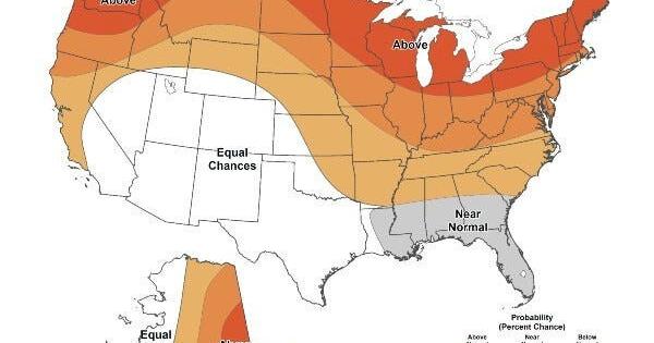 Warmer-than-average temperatures are favored for northern California, the Pacific Northwest, Midwest, Mississippi Valley, much of the East, Alaska and for Puerto Rico / U.S. Virgin Islands.
The Lufkin Daily News Warmer-than-average temperatures are favored for northern California, the Pacific Northwest, Midwest, Mississippi Valley, much of the East, Alaska and for Puerto Rico / U.S. Virgin Islands. - Woman…
-
 First Alert Alaska- Oct. 14, 2026
Alaska's News Source First Alert Alaska- Oct. 14, 2026 FIRST ALERT: Heavy rainfall arrives in Southeast overnight, prompting flood and landslide risk First Alert Alaska: Strong fall storm to affect Southeast this week…
-
 Alaska’s Southern Coastline begins to quiet down while midweek storm brews
Today's Alaska weather forecast from Alaska's Weather Source. ANCHORAGE, AK (Alaska’s News Source) - While some cloud cover lingers across Southcentral, coastal locations will continue to collect rain totals. Shower…
-
 Midweek storm brews for Alaska’s Southern Coastline
Alaska's News Source Midweek storm brews for Alaska’s Southern Coastline Light showers start the work week in Southcentral with the next storm ahead by midweek Fall Weather Pattern Hits Alaska - Wet and Windy Storm…
Air quality
Air quality is satisfactory, and air pollution poses little or no risk.
Fairbanks, AK reporting area · 5 hrs ago. Data from AirNow (EPA and its state, local and tribal partners); preliminary and subject to change.
Sun & moon
Almanac
MonthlyFairbanks Area, records since 1904. Normals 1991–2020. Data from NOAA's Regional Climate Centers (ACIS).
Nearby
- Fairbanks 8 km
- Badger 14 km
- College 8 km
- Eielson Air Force Base 41 km
- Ester 16 km
- North Pole 24 km
Forecasters' discussion
From the National Weather Service office in AFG, issued 14 hrs ago
Key Messages
Central and Eastern Interior... - Periods of snow have begun in the Alaska Range with heavy snow likely tonight through Wednesday morning. Snowfall rates of 1 to 3 inches per hour expected at times. * Isabel Pass will receive the most snow, between 24 to 36 inches.
- Snow is likely across most of the Interior, especially from Fairbanks east Tuesday into Wednesday. Gusty winds are expected, especially in the higher terrain and Upper Tanana Valley. Winds may gust to 40 mph at times Tuesday afternoon. * 3 to 7 inches expected for Nenena/Fairbanks/North Pole. * 5 to 10 inches for the Denali Borough. * 5 to 10 inches from Harding Lake to Eagle Summit. * 6 to 12+ inches for most of the Eastern Interior with elevated terrain seeing locally higher amounts.
- Patchy mixed precipitation and a glaze of ice possible near Northway and the AlCan Border this evening through Tuesday.
- Much colder weather is likely Thursday and Friday with high temperatures in the 20s and lows potentially near zero in many locations. If skies are clear, temperatures likely reach or surpass 0 degrees Thursday and Friday mornings.
West Coast and Western Interior... - Rain and snow continues through Tuesday afternoon. Light snow accumulations around 1 to 2 inches possible in the Lower Yukon Valley and McGrath.
- A strong low in the Bering Friday/Saturday will bring heavy precipitation and strong wind. Coastal impacts are becoming more likely as well beginning on Friday.
Synopsis
Active weather across Northern Alaska with snow and rain showers persisting out west, light snow showers on the North Slope and moderate to heavy snow in the Interior. It doesn't stop there, we're monitoring the potential for a strong storm in the Bering bringing heavy precipitation, strong wind and coastal impacts late this week into the weekend.
Short Term
500mb vorticity tells most of the story today. A trough is extending from the Arctic to the Aleutians with a piece of robust energy being brought north from Pacific into the Gulf. This piece of energy will rapidly undergo cyclogenesis through this tonight and get slingshot northeast into The Yukon by Tuesday. As this low moves into The Yukon, it will be fairly strong and nearly a 970mb low which will result in strong wind Tuesday afternoon. The key with this storm for the Interior of Alaska is how far west or east the low goes once it exits the Gulf and enters The Yukon. Even 24 hours from the start of the event in the Interior, there is still high uncertainty in snow amounts, especially in the Central Interior. It will all be reliant on a heavier area of snow. The highest confidence for this will be over the Eastern Interior and Eastern AK Range. Near Fairbanks, we opted for a mix of Winter Weather Advisories and Warnings due to the higher confidence in more snow to the east rather than the west. It will not take a big change for more or less snow in Fairbanks than what's in the forecast. For this event, there is a pretty big bust potential in Fairbanks, slightly less in the Eastern Interior.
Otherwise, after this storm concludes on Wednesday, a cold front will bring much colder air to the Interior. Thursday and Friday mornings will likely be the coldest of the year so far. Any clear skies will result in temperatures near or below zero across the Interior.
Afterwards, all eyes turn towards a Bering Sea low which looks to bring heavy precipitation, strong wind and the potential for minor coastal flooding and/or high surf along the West Coast. This is set to arrive around Friday morning and continue through Friday night and into Saturday. Impacts from this low may linger through the weekend as it will be slow moving. There will be more details on this storm in the Long Term and Coastal sections below.
Long Term
At the start of the extended period, the low in the Gulf will have moved northeast and out the state, with upper level ridging gradually building in from the west. As this ridge pushes farther east over the Alaska Peninsula, temperatures across the Interior are expected to steadily decline through Friday as clear skies overnight allow lows to dip into the single digits and teens above zero. At higher elevations, overnight lows in the single digits below zero remain possible, especially where skies are clear. Should some cloud cover linger around, temperatures will be a few degrees warmer.
Otherwise, the most important feature of note to discuss is an incoming Bering Sea low that gradually moves into the Gulf on Anadyr Friday into Saturday. Model guidance has this system's strength averaging around 975 mb to 980 mb at the surface, which is conducive for moderate/high end impacts such as strong winds, heavy precipitation, and minor coastal impacts. The first of these impacts to be felt will likely be the winds, with sustained winds speeds between 35 to 45 mph, gusting upwards of 70 mph possible out of south/southeast. These winds are expected to arrive early Friday morning, peak in the afternoon, and gradually weaken overnight but remain fairly elevated through the weekend. As for precipitation, there will likely be a mix of rain and snow that occurs with this storm since it will be bringing in quite a bit of tropical moisture and warmth with it. As a result, moderate to heavy snow is likely across the southern Seward Peninsula and the Western Brooks Range, with lower elevations and the YK Delta seeing moderate to heavy rainfall. Exact rainfall and snowfall totals are still uncertain for now, but because this system is expected to stall through the weekend, some localized flooding may occur. Coastal impacts look to remain fairly minor right now due to southerly/southeasterly flow rather than the more concerning southwesterly flow, however this could change depending on how the Bering Sea low interacts with the ridge over the state. See the "Coastal Hazard Potential" section for more details.
Elsewhere, temperatures are expected to quickly rise back into the mid/low 30s across the Interior Saturday and Sunday as warm air is brought in from the tropics and settles underneath the ridge. Looking ahead into next week, active weather is likely to continue across Northern Alaska as models begin to hint at the possibility for successive lows moving into the Bering Sea.
Forecasts, observations and alerts in the United States come from the National Weather Service (NOAA); radar from NOAA's Multi-Radar Multi-Sensor system; satellite imagery from NASA's Global Imagery Browse Services (GIBS) and NOAA's GOES satellites; the map from the U.S. Geological Survey's National Map; air quality from AirNow (EPA and its partners); hurricane information from the National Hurricane Center; climate normals and records from NOAA's Regional Climate Centers (ACIS). Forecasts outside the United States and the UV index: MET Norway (CC BY 4.0); observations outside the U.S.: airport reports via NOAA's Aviation Weather Center. Place names: GeoNames (CC BY 4.0). Data are copied on a schedule and may lag the sources; for warnings that affect your safety, follow your local National Weather Service office and emergency officials. Weather news is drawn from the 4Conservative index and reflects what the press published. Terms of use.