Install
Santa Rosa, CA 95404 Weather
Current conditions
Observed at Santa Rosa, Santa Rosa Sonoma County Airport · 1 hr ago
Forecast
10-day-
Tonight
Mostly cloudy, with a low around 49. Northeast wind around 1 mph.
-
Wednesday
A slight chance of rain showers after 5pm. Mostly cloudy. High near 72, with temperatures falling to around 68 in the afternoon. Southwest wind 0 to 5 mph. Chance of precipitation is 20%. New rainfall amounts less than a tenth of an inch possible.
-
Wednesday Night
A chance of rain showers before 1am, then a chance of rain showers and patchy fog between 1am and 2am, then areas of fog and a chance of rain showers. Mostly cloudy. Low around 49, with temperatures rising to around 51 overnight. West southwest wind around 2 mph. Chance of precipitation is 50%. New rainfall amounts less than a tenth of an inch possible.
National Weather Service forecast updated 7 hrs ago.
Hourly
Hourly forecast- Now51°
- 5 AM50°
- 6 AM51°
- 7 AM50°
- 8 AM50°
- 9 AM53°
- 10 AM57°
- 11 AM63°11%
- 12 PM66°
- 1 PM68°
- 2 PM71°
- 3 PM70°
- 4 PM70°14%
- 5 PM68°18%
- 6 PM65°23%
- 7 PM62°37%
- 8 PM60°43%
- 9 PM58°40%
- 10 PM57°35%
- 11 PM56°20%
- Thu12 AM56°26%
- 1 AM54°40%
- 2 AM53°45%
- 3 AM52°32%
10-day forecast
Details- TonightOct 20Mostly Cloudy49°
- TodayOct 21Mostly Cloudy then Slight Chance Rain Showers46%49°72°
- ThuOct 22Areas Of Fog54%46°68°
- FriOct 23Areas Of Fog then Mostly Sunny42°74°
- SatOct 24Sunny42°77°
- SunOct 25Mostly Sunny44°77°
- MonOct 26Mostly Sunny44°76°
- TueOct 27Mostly Sunny76°
- WedOct 28Cloudy55°83°
- ThuOct 29Cloudy56°80°
Days after the National Weather Service's seven are MET Norway's outlook, a computer model with no forecaster's review.
Radar
Full mapWeather news near Santa Rosa
More weather news-
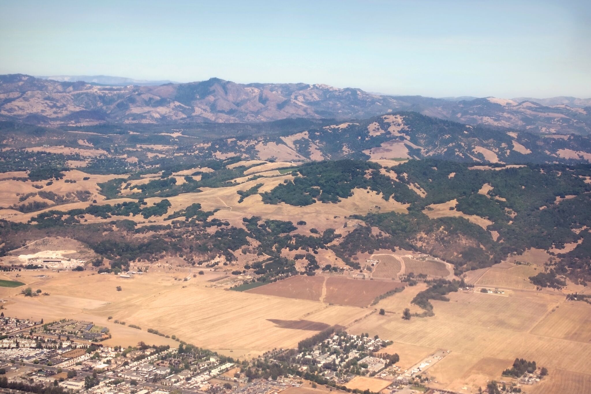 Red flag warning issued for North Bay over risk of 'rapid fire spread'
A view of Sonoma County near Santa Rosa and Taylor Mountain. Diablo winds are forecast for the region. The National Weather Service has issued a red flag warning for parts of the Bay Area as hot, dry winds gusting up to…
-
 California's rainy season to arrive with flood threat, tornado risk and Sierra snow
California's wet season is starting off with a bang. The first significant storm of the season is forecast to bring heavy rain to vulnerable burn scars near Big Sur, coastal tornado risk to the Los Angeles area, and a…
-
 Waterspouts possible off Southern California amid stormy weather
Southern California's stormy forecast includes a chance of isolated waterspouts offshore. They may look like tornadoes, but they're not. Our latest explainer breaks down what waterspouts are, how they form over the…
-
 Storms descend on Southern California, raising risk of dangerous surf, flooding, debris flows
Rain is anticipated for Southern California on Wednesday into Thursday as the National Weather Service cautioned about potential beach hazards and thunderstorms from Oxnard to the Mexico border. The weather service's…
-
 Southern California's wild weather swings continue. Next up, rain
Southern California is likely in for a solid dose of rain this week, just days after heat and Santa Ana winds helped fuel several wildfires across the region. Forecasters expect the bulk of the rain to roll into the Los…
-
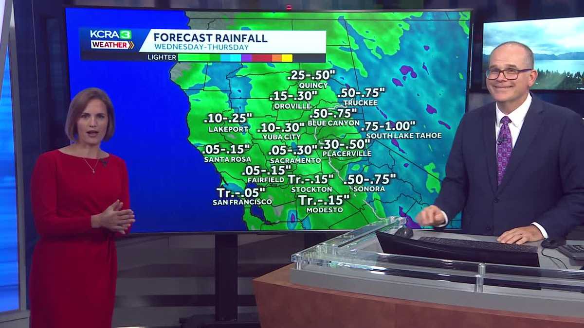 California weather with Dirk & Heather: Showers, thunderstorms and snow
Wednesday and Thursday will be cool and unsettled with scattered downpours. The first rain chances of the new water year are coming up quickly in Northern California! Wednesday and Thursday will be cool, cloudy and at…
-
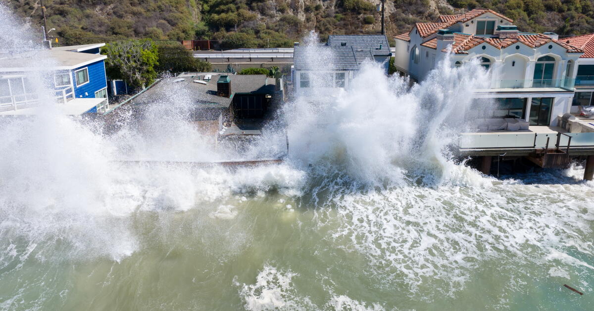 Rain and Thunderstorms Expected in Southern California with Beach Hazard Warnings
At SSBCrack News, our dedicated editorial team brings you the latest and most reliable updates on Defence, Geopolitics, Military Affairs, Science, and Technology. Driven by a passion for national security and strategic…
- Flash-flood risk rises in Southern California, severe storms threaten Arizona
Satellite image of southwest U.S. at 17:20 UTC on October 20, 2026. Credit: NOAA/GOES-19, Zoom Earth, The Watchers The WPC Excessive Rainfall Discussion issued at 15:33 UTC on October 20 places portions of Southern…
-
 Mid-October Santa Ana winds rapidly spread wildfires in Southern California
Several fires have erupted recently amid strong, dry winds known as the Santa Anas. The name is commonly linked way back in the 1800s to Santa Ana Canyon in Orange County, through which these warm winds were known to…
- Winter weather advisory for California for Wednesday and Thursday
The NWS Hanford CA released a winter weather advisory at 12:51 p.m. on Tuesday valid from Wednesday 11 a.m. until Thursday 11 a.m. The advisory is for Yosemite, Upper San Joaquin River, Kaiser to Rodgers Ridge, Kings…
Air quality
Air quality is satisfactory, and air pollution poses little or no risk.
Forecast
- WedGood (36)
- ThuGood
- FriGood
Santa Rosa, CA reporting area · 1 hr ago. Data from AirNow (EPA and its state, local and tribal partners); preliminary and subject to change.
Sun & moon
Nearby
- Vallejo 55 km
- Napa 41 km
- Petaluma 24 km
- San Rafael 54 km
- Novato 39 km
- Rohnert Park 11 km
- Windsor 15 km
- Agua Caliente 24 km
- Hercules 60 km
- American Canyon 49 km
- Clearlake 58 km
- San Anselmo 53 km
Forecasters' discussion
From the National Weather Service office in MTR, issued 3 hrs ago
Key Messages
Updated at 801 PM PDT Tue Oct 20 2026
- Cooling trend continues through the end of the week
- Beneficial light rain showers expected Wednesday through Thursday
- Thunderstorms possible Wednesday afternoon into Thursday morning across Central Coast
- Warm and dry next weekend
Short Term
Issued at 1230 AM PDT Wed Oct 21 2026 (Today and tonight)
The center of the 500 mb cut-low is inching closer to the coast as the sub-tropical jet stream supports the left portion of the system, bringing enhanced momentum and moisture flux. This is where the most instability and lift can be found. As of 11:30 PM PDT, KMUX radar is picking up on a few cells offshore exhibiting a ~10-25% chance of lightning with a few lightning strikes observed along the occluded front (~250-300 miles SW from Monterey). The current offshore activity is foreshadowing what is to come early Wednesday morning.
The first few rain bands are expected to make their way over the Central Coast just before sunrise. Going into the afternoon, precipitation gets wrapped around the system's center and eventually spreads through the rest of the Bay Area. Precipitable water is expected to rise above the 90th percentile for this time of year, which prompted WPC to include the southern Central Coast in a marginal risk of excessive rainfall for Wednesday.
To further assess the potential for severe thunderstorms, three high- resolution model soundings were analyzed: the 3km NAM, 10km RDPS, and the RRFS. Keep in mind that the NAM tends to be the most pessimistic model out of the three in terms of moisture. Upon evaluation of the near-storm environment for each, there are a few inconsistencies across the models in terms of the severe thunderstorm threat and whether the environment is conducive to tornado spin-ups.
Before getting into what *is* consistent across the models, let's run through a quick overview of a couple notable stability indices: the Total-Totals and K index. The Total-Totals index measures atmospheric instability by taking the thermal difference between 850 to 500 mb to identify the potential for severe thunderstorms or tornadoes. The K index is used to assess atmospheric buoyancy by measuring the low to mid-level moisture as well as the 850-500 mb thermal difference. The greater the K index value, the greater the potential is for widespread thunderstorms (K > 20 = scattered thunderstorms, K > 35 = numerous thunderstorms). Similarly, higher Total-Totals (TT) index values indicate an enhanced potential for severe thunderstorms and/or tornadoes (TT > 48 = severe thunderstorms, TT > 50 = tornadoes).
Why am I talking about stability indices? Well, according to these indices and other environmental parameters, the three high-res model soundings that were analyzed all indicate a heightened risk for at least scattered, severe thunderstorms along the Big Sur coastline. The NAM estimates TT ~ 56 and a K index ~ 36, RDPS estimates TT ~ 54 and a K index ~ 30, and RRFS estimates TT ~ 50 and K index ~ 31.
Long Term
Issued at 1230 AM PDT Wed Oct 21 2026 (Thursday through Tuesday)
The rain and thunderstorm threat are gone by Friday. With the trough to our east, building high pressure brings warm and dry conditions into early next week. Euro and GFS ensemble members suggest warming to near seasonal averages meanwhile precipitable water values are forecast to dip below the 25th percentile. Monday onward, there is a great deal of uncertainty on when the weak ridge breaks down. An energetic Central Pacific plus the most recent 6-10 day Climate Prediction Center precipitation outlook suggests another trough coming our way with the potential for more rain.
Aviation
(06Z TAFS) Issued at 955 PM PDT Tue Oct 20 2026
VFR with increasing high clouds and light winds through the next few hours. A low pressure system offshore will bring showers to the area on Wednesday with a slightly delayed onset time compared to the previous forecast. As before expecting a main rain band to come up from the Central Coast through Wednesday with convective activity behind the band. Low confidence (20-30% probability) for thunderstorm activity along the coast south of MRY. Confidence in the wind speeds beyond the next few hours remains low, as hinted at by the large differences in the wind field output from subsequent runs of the high resolution models. With the low pressure system so close to shore, the wind pattern may very well depend on how the low travels as it meanders off the coast and how it interacts with local terrain. Any thunderstorm activity on Wednesday is also liable to bring localized strong gusts and visibility reductions to the immediate area.
Vicinity of SFO... VFR with high clouds and light winds continues into the overnight hours. A band of showers arrives Wednesday morning and afternoon followed by a period of more scattered showers. . Low confidence in the winds on Wednesday as high resolution models are diverging on the direction of the flow, which could depend critically on the evolution of the low pressure system.
SFO Bridge Approach... Similar to SFO.
Monterey Bay Terminals... VFR with high clouds and light drainage winds through the overnight hours. Isolated showers will start to build early Wednesday morning before an organized band arrives later that morning, bringing the chance for MVFR ceilings along with it. Low confidence in the winds throughout Wednesday, and for a isolated thunderstorm (10-20% probability) to impact the terminals Wednesday.
Forecasts, observations and alerts in the United States come from the National Weather Service (NOAA); radar from NOAA's Multi-Radar Multi-Sensor system; satellite imagery from NASA's Global Imagery Browse Services (GIBS) and NOAA's GOES satellites; the map from the U.S. Geological Survey's National Map; air quality from AirNow (EPA and its partners); hurricane information from the National Hurricane Center; climate normals and records from NOAA's Regional Climate Centers (ACIS). Forecasts outside the United States and the UV index: MET Norway (CC BY 4.0); observations outside the U.S.: airport reports via NOAA's Aviation Weather Center. Place names: GeoNames (CC BY 4.0). Data are copied on a schedule and may lag the sources; for warnings that affect your safety, follow your local National Weather Service office and emergency officials. Weather news is drawn from the 4Conservative index and reflects what the press published. Terms of use.